Oregon and California meet across forests, high desert and farmland, and a surprising number of small communities sit right along that state line. These towns matter for travelers, delivery planning and local history — knowing which places hug the border makes maps and itineraries simpler.
There are 2 Oregon – California Bordering Towns, ranging from New Pine Creek,New Pine Creek. For each entry the data is organized with State,Country,Distance to border (km), and you’ll find below the concise details to identify and visit them.
How accurate are the “Distance to border (km)” numbers?
Distances are typically measured from a town’s central point to the nearest point on the state line; sources may vary slightly depending on the exact center used. For critical uses (legal property lines, emergency planning) confirm with county GIS or official state maps, but for travel and general reference the figures are a reliable guide.
Are there border checks or special rules when traveling between these towns?
No formal checkpoints separate Oregon and California towns for routine travel — it’s an internal state line — but local conditions like road closures, weather or wildfire restrictions can affect access. Check local DOT or county notices before planning a trip.
Oregon – California Bordering Towns
| Name | State | Country | Distance to border (km) |
|---|---|---|---|
| New Pine Creek | Oregon | USA | 0 |
| New Pine Creek | California | USA | 0 |
Images and Descriptions

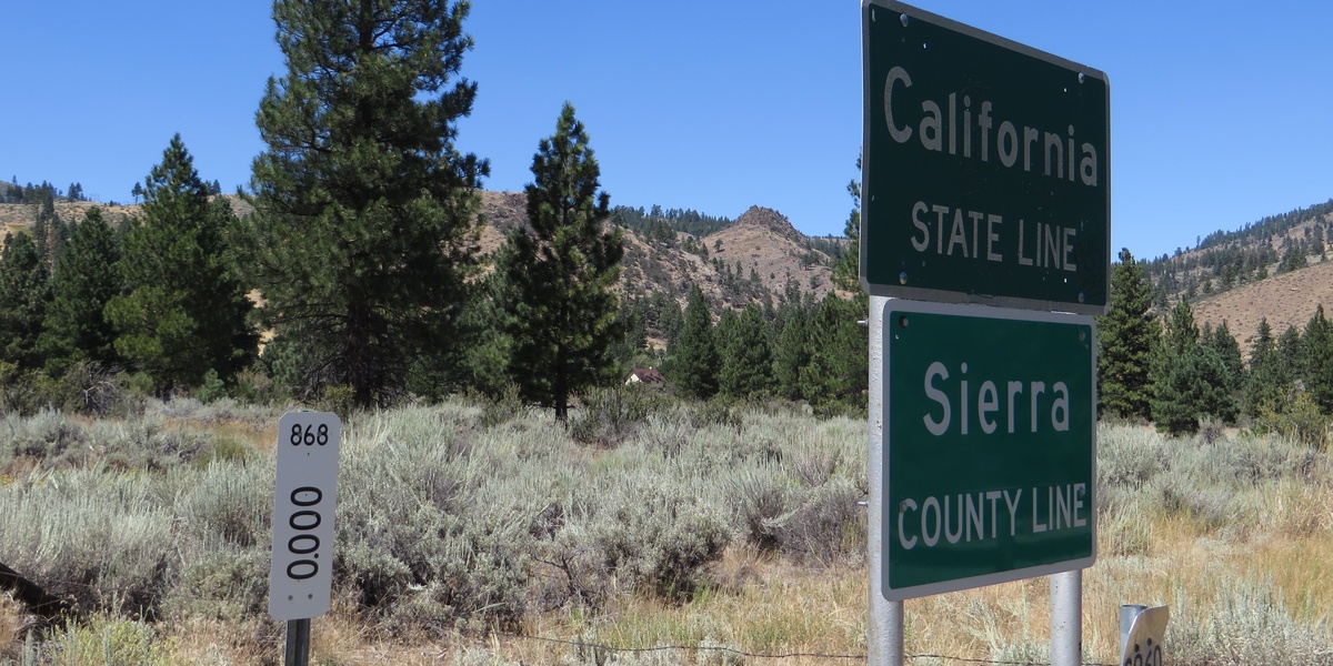
New Pine Creek
With a population of around 99, this Oregon CDP is the northern half of a community split by the state line. U.S. Route 395 passes directly through town, which sits on the north shore of Goose Lake, a large lake that also crosses the border.
New Pine Creek
The southern half of a town divided by the state line, this California CDP has about 66 residents. U.S. Route 395 is its main road, and its historic post office, established in 1876, once served residents on both sides of the border.