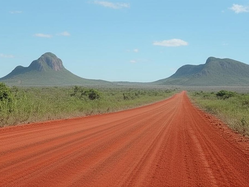
Guyana’s mix of coastal plains, dense rainforest and river networks means many communities rely on air links more than roads. Small bush strips sit alongside regional hubs, serving everything from scheduled services to charter flights and cargo for mining and forestry.
There are 41 Airports in Guyana, ranging from Aishalton to Wichabai (Aishalton,Wichabai). For each entry you’ll find below Codes (IATA/ICAO),Town/Region,Runway length (m), so you can quickly check location, identifiers and runway capability — you’ll find below.
How up-to-date is this list and where does the information come from?
The list compiles official identifiers and runway data from civil aviation publications, national AIPs and recognized airport directories; frequencies and services can change, so treat the table as a starting point and verify critical details (NOTAMs, airline schedules or the Guyana Civil Aviation Authority) before travel.
How can I tell which airports handle scheduled passenger flights or larger aircraft?
Look for an IATA code and longer runways in the “Codes (IATA/ICAO),Town/Region,Runway length (m)” column: airports with IATA codes and runways over ~1,500 m typically support larger regional or jet services, while shorter strips usually serve turboprops, charters and bush operations; check airline timetables or carrier websites for confirmed scheduled service.
Airports in Guyana
| Name | Codes (IATA/ICAO) | Town/Region | Runway length (m) |
|---|---|---|---|
| Cheddi Jagan International | GEO/SYCJ | Timehri, Demerara-Mahaica | 3,369 (Asphalt) |
| Eugene F. Correia International | OGL/SYGO | Ogle, Demerara-Mahaica | 1,280 (Asphalt) |
| Lethem | LTM/SYLT | Lethem, Upper Takutu-Upper Essequibo | 1,829 (Asphalt) |
| Kaieteur | KAI/SYKA | Kaieteur National Park, Potaro-Siparuni | 1,000 (Asphalt) |
| Aishalton | AHL/SYAH | Aishalton, Upper Takutu-Upper Essequibo | 1,000 (Clay) |
| Annai | NAI/SYAN | Annai, Upper Takutu-Upper Essequibo | 914 (Clay) |
| Apoteri | N/A/SYAP | Apoteri, Upper Takutu-Upper Essequibo | 914 (Clay) |
| Aurora Gold Mine | N/A/SYAG | Aurora, Cuyuni-Mazaruni | 1,400 (Paved) |
| Baramita | BMY/SYBR | Baramita, Barima-Waini | 850 (Unpaved) |
| Bartica | GFO/SYBT | Bartica, Cuyuni-Mazaruni | 1,220 (Asphalt) |
| Dadanawa Ranch | N/A/SYDA | Dadanawa, Upper Takutu-Upper Essequibo | 900 (Unpaved) |
| Ekereku Bottom | N/A/SYEK | Ekereku, Cuyuni-Mazaruni | 800 (Gravel) |
| Eteringbang | N/A/SYEB | Eteringbang, Cuyuni-Mazaruni | 914 (Gravel) |
| Fair View | N/A/SYFV | Fair View, Upper Takutu-Upper Essequibo | 1,000 (Unpaved) |
| Gunn’s Strip | N/A/SYGS | Apoteri, Upper Takutu-Upper Essequibo | 1,100 (Unpaved) |
| Imbaimadai | IMB/SYIB | Imbaimadai, Cuyuni-Mazaruni | 700 (Gravel) |
| Issano | N/A/SYIS | Issano, Cuyuni-Mazaruni | 760 (Unpaved) |
| Kaikan | N/A/SYKI | Kaikan, Cuyuni-Mazaruni | 730 (Unpaved) |
| Kamarang | KAR/SYKM | Kamarang, Cuyuni-Mazaruni | 1,000 (Asphalt) |
| Karanambo | N/A/SYKR | Karanambo, Upper Takutu-Upper Essequibo | 1,100 (Unpaved) |
| Karasabai | KRG/SYKS | Karasabai, Upper Takutu-Upper Essequibo | 800 (Unpaved) |
| Kato | KTO/SYKT | Kato, Potaro-Siparuni | 760 (Unpaved) |
| Kurukabaru | N/A/SYKK | Kurukabaru, Potaro-Siparuni | 670 (Unpaved) |
| Kurupung | N/A/SYKG | Kurupung, Cuyuni-Mazaruni | 850 (Unpaved) |
| Kwakwani | N/A/SYKW | Kwakwani, Upper Demerara-Berbice | 1,000 (Unpaved) |
| Lumid Pau | LUB/SYLP | Lumid Pau, Upper Takutu-Upper Essequibo | 950 (Unpaved) |
| Mabaruma | USI/SYMB | Mabaruma, Barima-Waini | 914 (Asphalt) |
| Mahdia | MHA/SYMD | Mahdia, Potaro-Siparuni | 975 (Asphalt) |
| Maichipan | N/A/SYMP | Maichipan, Upper Takutu-Upper Essequibo | 750 (Unpaved) |
| Matthews Ridge | MWJ/SYMR | Matthews Ridge, Barima-Waini | 914 (Asphalt) |
| Monkey Mountain | MYM/SYMM | Monkey Mountain, Potaro-Siparuni | 760 (Unpaved) |
| New Amsterdam | N/A/SYNA | New Amsterdam, East Berbice-Corentyne | 914 (Asphalt) |
| Orinduik | ORJ/SYOR | Orinduik, Potaro-Siparuni | 900 (Unpaved) |
| Paramakatoi | PMT/SYPM | Paramakatoi, Potaro-Siparuni | 760 (Unpaved) |
| Paruima | PRR/SYPR | Paruima, Cuyuni-Mazaruni | 700 (Unpaved) |
| Port Kaituma | PKM/SYPK | Port Kaituma, Barima-Waini | 1,000 (Asphalt) |
| Rewa | N/A/SYRW | Rewa, Upper Takutu-Upper Essequibo | 850 (Unpaved) |
| Sand Creek | SDC/SYSC | Sand Creek, Upper Takutu-Upper Essequibo | 900 (Unpaved) |
| Skeldon | N/A/SYSK | Skeldon, East Berbice-Corentyne | 1,000 (Asphalt) |
| Surama | N/A/SYSM | Surama, Upper Takutu-Upper Essequibo | 900 (Unpaved) |
| Wichabai | N/A/SYWI | Wichabai, Upper Takutu-Upper Essequibo | 950 (Unpaved) |
Images and Descriptions
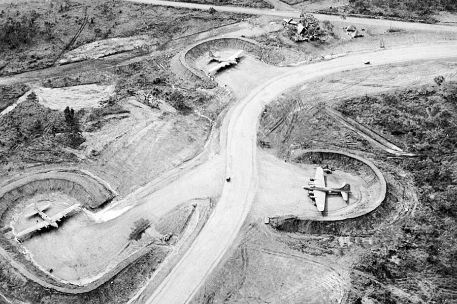
Cheddi Jagan International
Serve as Guyana’s main international gateway near Georgetown. Host scheduled international and domestic flights. Feature a long paved runway, passenger terminal, and cargo facilities. Include in the list as the country’s primary airport.
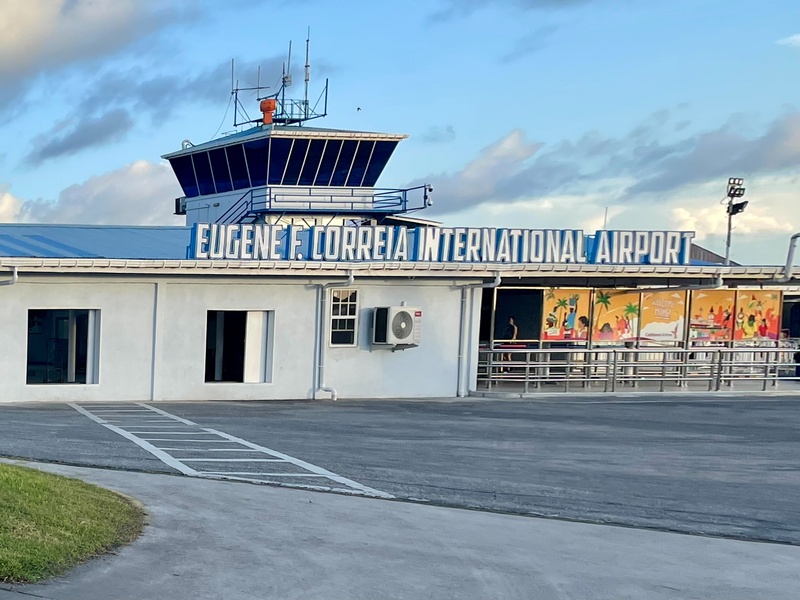
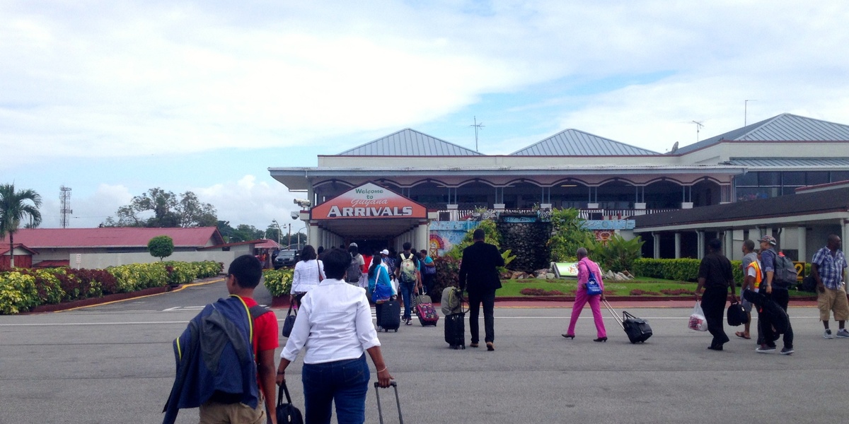
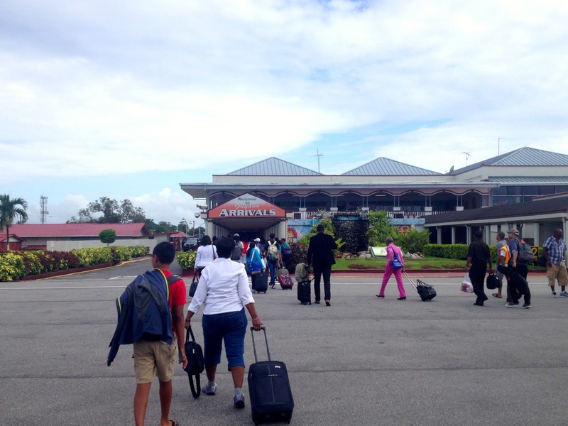
Eugene F. Correia International
Function as a secondary airport near Georgetown (Ogle). Handle domestic and regional flights and many charters. Have a paved runway and a small terminal. Serve commuters and business travelers.

Lethem
Sit at the Brazil border in the Rupununi region. Offer scheduled domestic flights and cross‑border travel options. Feature a paved runway suitable for regional aircraft. Act as a gateway to southern Guyana.

Kaieteur
Provide access to Kaieteur Falls and nearby tourism sites. Operate mainly as a short airstrip for small charter aircraft. Feature a short, often unpaved runway and limited facilities. Serve tourists and park staff.

Aishalton
Exist as a small village airstrip in southern Guyana. Use mostly for charters, medevac, and community supply flights. Feature a simple unpaved runway. Support remote travel and regional access.
Annai
Serve the Rupununi village with a basic airstrip. Handle charter flights and occasional supply runs. Feature an unpaved runway and minimal facilities. Support eco‑tourism and ranch access.
Apoteri
Function as a small airstrip near the Essequibo River. Support charters, river communities, and patrol flights. Feature an unpaved runway and simple landing area. Provide access to remote river regions.
Aurora Gold Mine
Operate as a private airstrip serving a mining site. Handle worker transport, cargo, and charter flights. Feature a rugged unpaved runway and limited services. Include for mining and logistics relevance.
Baramita
Act as an interior airstrip in the Barima‑Waini region. Support indigenous communities and charter services. Feature an unpaved runway and minimal infrastructure. Serve remote settlement access.
Bartica
Serve as a regional town airstrip on the Essequibo River. Offer scheduled and charter flights to Georgetown and interior settlements. Feature a gravel or paved runway and basic passenger facilities. Support river trade and mining areas.
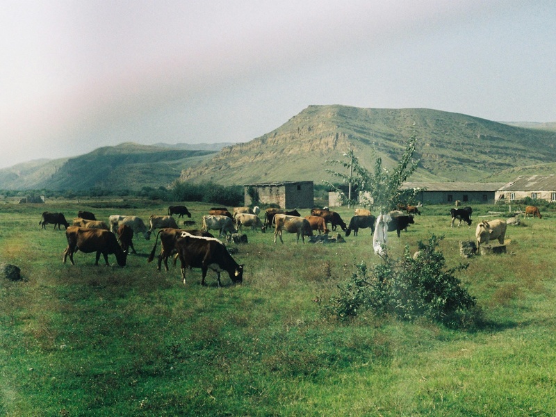
Dadanawa Ranch
Provide a private grass or dirt strip at a large cattle ranch. Host charter flights and supply runs. Feature a simple landing area with no terminal. Serve ranch operations and access to the Rupununi.
Ekereku Bottom
Exist as a mining and interior airstrip in the interior. Support mining camps, charters, and cargo flights. Feature an unpaved runway and limited services. Serve resource and exploration activities.
Eteringbang
Serve a remote Amerindian community with a small airstrip. Handle charters, medical evacuations, and supply flights. Feature an unpaved runway and basic landing facilities. Provide critical rural access.
Fair View
Function as a small interior landing site. Support local communities and charter operations. Feature an unpaved runway and minimal infrastructure. Include as part of the comprehensive list of airstrips.

Gunn’s Strip
Operate as a short private or community airstrip. Host small charter and private flights. Feature a simple unpaved runway and few facilities. Serve local transport needs and access to remote sites.
Imbaimadai
Serve a mining village with an airstrip for workers and supplies. Feature an unpaved runway and limited services. Support gold mining and interior logistics. Provide regional connectivity.
Issano
Act as an airstrip in a mining area, used for charter flights and supply deliveries. Feature an unpaved runway and sparse facilities. Support mining camps and interior operations.
Kaikan
Exist as a small interior airstrip used by charters and community flights. Feature an unpaved runway and very limited infrastructure. Serve remote settlements and occasional tourism.
Kamarang
Serve a border town in the Cuyuni‑Mazaruni region. Support scheduled and charter flights when available. Feature an unpaved runway suitable for regional aircraft. Provide access to remote western Guyana.
Karanambo
Provide a grass or dirt airstrip for a ranching community. Host charters, supply flights, and medevacs. Feature minimal facilities. Support access to the Rupununi wetlands and eco‑lodges.
Karasabai
Act as the airstrip for a southern Amerindian village. Handle charters, community transport, and emergency flights. Feature an unpaved runway and basic landing area. Serve deep‑interior access needs.
Kato
Function as a small town airstrip in the Potaro‑Siparuni region. Support charter flights and local transport. Feature an unpaved runway and simple facilities. Provide entry to nearby highland communities.
Kurukabaru
Serve an Amerindian village near the Pakaraima Mountains. Handle charters and medevac flights. Feature an unpaved runway and basic ground support. Provide mountain community access.
Kurupung
Operate as a mining and remote area airstrip. Support charter flights for mining crews and supplies. Feature an unpaved runway and limited services. Include for mining logistics coverage.
Kwakwani
Serve a riverside mining and logging town. Offer regional charter service and cargo flights. Feature a gravel runway and modest facilities. Support river transport hubs and industry.
Lumid Pau
Exist as a remote interior airstrip for small community use. Host charters and supply runs. Feature an unpaved runway and minimal infrastructure. Provide access to sparsely populated areas.
Mabaruma
Function as the administrative center airstrip for Barima‑Waini. Offer scheduled domestic flights and charters. Feature a compact runway and basic passenger facilities. Act as a regional transport hub.
Mahdia
Serve a mining town in Potaro‑Siparuni with scheduled and charter flights. Feature a gravel runway and modest terminal services. Support mining, commerce, and regional travel.
Maichipan
Provide a small interior landing area for community and charter use. Feature an unpaved runway and minimal services. Support local travel and supply missions.
Matthews Ridge
Act as an airstrip for a mining and bauxite area. Host charter and occasional scheduled flights. Feature a gravel or paved runway and simple facilities. Serve industrial and community needs.
Monkey Mountain
Exist as a village airstrip near the Pakaraima foothills. Support eco‑tourism, charters, and local travel. Feature an unpaved runway and basic landing infrastructure. Provide access to remote highland areas.
New Amsterdam
Serve a coastal town on the Berbice River with a small airstrip. Support charter flights and community access. Feature a short runway and limited facilities. Connect the agricultural and coastal region.
Orinduik
Provide access to Orinduik Falls and nearby tourism sites. Operate as a small airstrip for charters and tourist flights. Feature an unpaved runway and minimal services. Serve natural attractions and remote travel.
Paramakatoi
Serve an upland Amerindian village with a simple airstrip. Handle charters and medevac flights. Feature an unpaved runway and basic facilities. Support community access in highland terrain.
Paruima
Act as a remote village airstrip in the interior. Host charter and emergency flights. Feature an unpaved runway and minimal ground support. Serve indigenous community connectivity.
Port Kaituma
Function as a regional town airstrip with history tied to mining and settlement. Support scheduled charters and cargo flights. Feature a compact runway and basic services. Provide access to northwest Guyana.
Rewa
Exist as an airstrip near rainforest lodges and conservation areas. Host eco‑tourism charters and ranger flights. Feature an unpaved runway and minimal facilities. Support nature tourism and research access.
Sand Creek
Serve a remote community with a small landing strip. Handle charters, supplies, and medical evacuations. Feature an unpaved runway and limited infrastructure. Provide essential rural access.
Skeldon
Provide a coastal airstrip near the sugar estate on the Berbice River. Support charter flights and local transport. Feature a short runway and basic facilities. Serve agricultural and coastal communities.
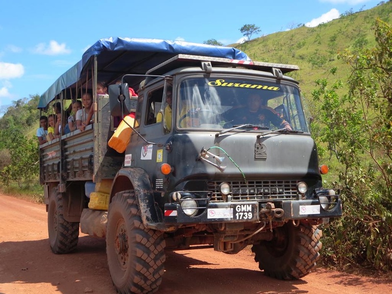
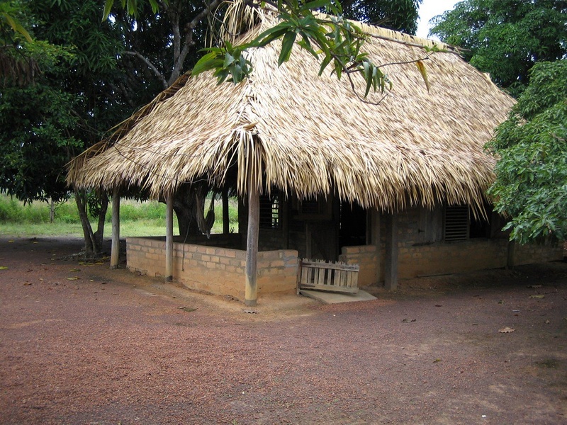
Surama
Act as an ecolodge and village airstrip in the Rupununi. Host tourism charters and community flights. Feature an unpaved runway and simple facilities. Support eco‑tourism and cultural visits.
Wichabai
Function as a private ranch and lodge airstrip. Support charters for hunting, fishing, and tourism. Feature a grass or dirt runway and minimal services. Provide access to remote ranching and tourism operations.