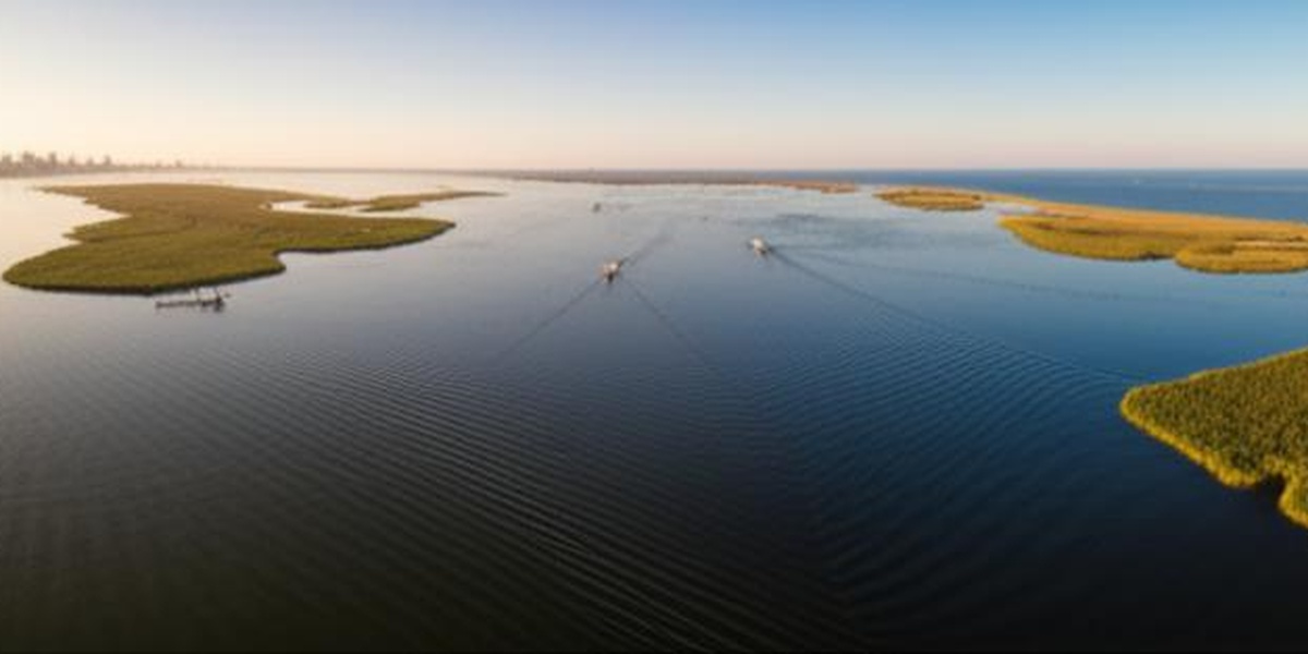
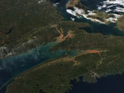
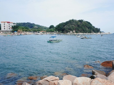
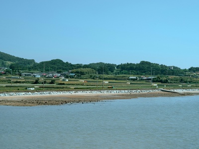
Galveston’s shoreline is shaped by a network of shallow estuaries and protected inlets that influence local fishing, birding and boating. Those bays are central to the region’s ecology and to how residents and visitors use the coast.
There are 16 Bays in Galveston, ranging from Bastrop Bay to West Bay. For each bay, you’ll find below Coordinates (lat, lon), Area (km2), Access & activities to help you compare locations and plan outings; you’ll find below.
Which Galveston bays are best for quick day trips?
Look for bays with public boat ramps, nearby parking and shoreline parks—areas around West Bay and the bays near Galveston Island State Park tend to have easier access and basic facilities, while some smaller bays require a short boat ride or private access.
How safe are these bays for swimming and small boats?
Conditions vary: many bays are shallow and muddy with limited visibility, so swimming is often better at designated beaches; boating and kayaking are popular but check tide, wind and local advisories, wear a life jacket and avoid unfamiliar channels at night.
Bays in Galveston
| Name | Coordinates (lat, lon) | Area (km2) | Access & activities |
|---|---|---|---|
| Galveston Bay | 29.5167, -94.8333 | 1,554 | Numerous parks, marinas, boat ramps |
| Trinity Bay | 29.7500, -94.7500 | 492 | Anahuac, Smith Point, Fort Anahuac Park |
| West Bay | 29.2167, -94.9500 | 246 | Galveston Island State Park, Jamaica Beach, various boat ramps |
| East Bay | 29.4667, -94.5833 | 174 | Bolivar Peninsula, High Island, Rollover Pass area |
| Chocolate Bay | 29.1333, -95.1833 | 52.3 | Chocolate Bayou boat ramps, Bluewater Highway access points |
| Christmas Bay | 29.1167, -95.0833 | 41.2 | Christmas Bay Coastal Preserve, public ramps off Bluewater Hwy |
| San Jacinto Bay | 29.7000, -95.0667 | 18.5 | Morgan’s Point, La Porte, Sylvan Beach Park |
| Bastrop Bay | 29.1000, -95.1500 | 14.6 | San Luis Pass County Park, Bluewater Highway |
| Dickinson Bay | 29.4619, -94.9708 | 14.8 | Texas City Dike, San Leon, Dickinson Bayou public ramps |
| Tabbs Bay | 29.7425, -95.0614 | 10.45 | Baytown Nature Center, Fred Hartman Bridge area |
| Jones Bay | 29.2944, -94.9189 | 9.7 | Virginia Point, causeway boat ramps, Tiki Island |
| Drum Bay | 29.0667, -95.1333 | 8.1 | Remote access via Bluewater Highway and kayak launch spots |
| Black Duck Bay | 29.6250, -94.6917 | 5.8 | Smith Point, Anahuac National Wildlife Refuge |
| Burnet Bay | 29.7611, -95.0833 | 5.12 | San Jacinto Battleground State Historic Site, Lynchburg Ferry |
| Turtle Bay | 29.5886, -94.6225 | 4.2 | Anahuac National Wildlife Refuge, local ramps |
| Scott Bay | 29.7828, -95.0761 | 2.15 | Limited public access, some local ramps near Baytown |
Images and Descriptions
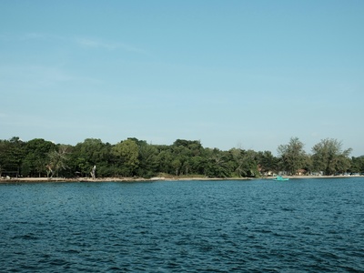
Galveston Bay
The heart of the system, this massive estuary is a vital economic and ecological hub. It offers endless opportunities for boating, fishing, and shipping, connecting Houston to the Gulf.
Trinity Bay
The vast northeastern arm of Galveston Bay, fed by the Trinity River. It’s renowned for excellent fishing, especially for speckled trout, and is a key area for productive oyster reefs.
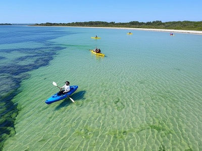
West Bay
Nestled between Galveston Island and the mainland, this bay is a paradise for kayakers and wade fishermen. Its protected waters, shorelines, and grass flats are teeming with marine life.
East Bay
A long, relatively shallow bay separating Bolivar Peninsula from the mainland. It’s a prime destination for anglers targeting flounder, redfish, and trout, with numerous marshy shorelines.
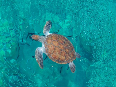
Chocolate Bay
A large, remote bay system south of West Bay, known for its productive oyster reefs. It offers a more secluded fishing experience for those willing to explore its backwaters.
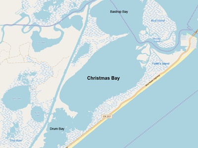
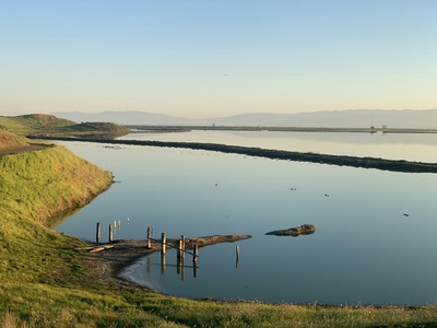
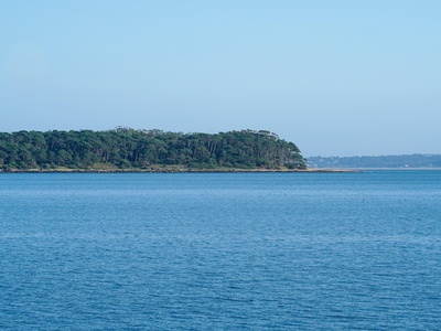
Christmas Bay
A pristine, shallow bay designated as a coastal preserve with no shoreline development. It is one of the healthiest bays in the system, ideal for kayaking, wade fishing, and birding.
San Jacinto Bay
Located where the San Jacinto River meets the Houston Ship Channel. This bustling bay is a crossroads of industry and recreation, offering fishing spots alongside impressive maritime traffic.
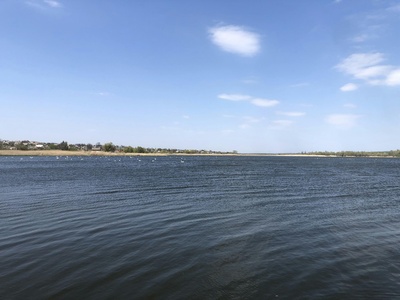
Bastrop Bay
Connected to Christmas Bay near San Luis Pass, this bay is a shallow-water haven. Its extensive seagrass beds make it a nursery for marine life and a top spot for flats fishing.
Dickinson Bay
A well-protected inlet popular for sailing, powerboating, and waterfront dining. It connects to Galveston Bay near the Texas City Dike, a famous and highly accessible fishing pier.
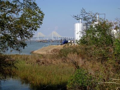
Tabbs Bay
A smaller, industrial bay near the Houston Ship Channel and Baytown. Despite its surroundings, it provides important bird habitat and opportunities for shoreline fishing and crabbing.
Jones Bay
A shallow bay situated just west of the Galveston Causeway. It’s a favorite spot for anglers targeting redfish and flounder in its grassy, protected waters away from the crowds.
Drum Bay
A small, very shallow bay adjacent to Christmas and Bastrop Bays. It’s a challenging but rewarding spot for experienced kayakers and anglers searching for tailing redfish in solitude.
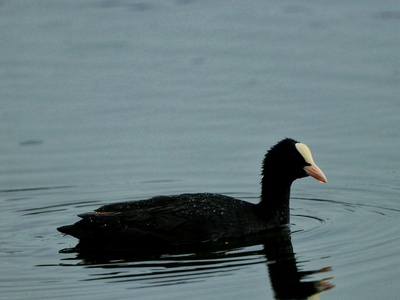
Black Duck Bay
A shallow, marshy bay located off the western shore of Trinity Bay. As its name suggests, it’s a critical habitat for waterfowl and a premier destination for birding and hunting.
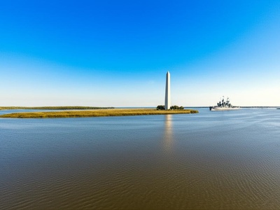
Burnet Bay
A historically significant bay where the San Jacinto River flows into the system. It offers unique views of the San Jacinto Monument and the Battleship Texas from the water.
Turtle Bay
A secluded, oyster-rich bay adjacent to East Bay near the Anahuac refuge. Its pristine marshes and calm waters make it an exceptional location for kayaking, birdwatching, and fishing.
Scott Bay
A small, quiet offshoot of Burnet Bay near residential areas of Baytown. It provides a sheltered area for small boats and local anglers seeking calm waters away from traffic.