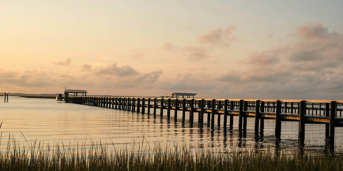
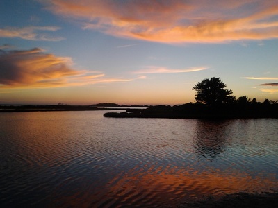
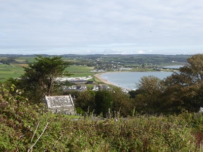
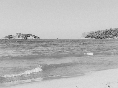
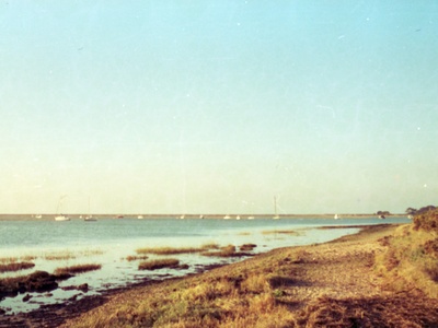
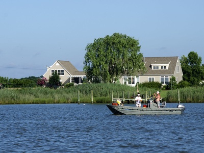
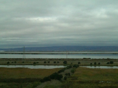
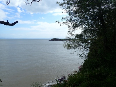
Maryland’s shoreline is a patchwork of estuaries, tidal marshes, and sheltered waters that support fisheries, recreation, and local communities. From the Chesapeake’s major arms to smaller coastal inlets, these bays influence weather, wildlife, and regional livelihoods.
There are 31 Bays in Maryland, ranging from Assawoman Bay to Worton Bay. For each bay the County(s), Coordinates (lat, lon), and Area (km2) are listed for easy comparison — you’ll find them below.
How were the bays defined and counted?
This list uses named bays and significant estuarine inlets recognized by state and federal sources (like USGS and Maryland DNR); very small unnamed coves are generally excluded. Coordinates refer to representative points and area reflects mapped water surface where available; consult official charts for precise boundaries.
Are these bays publicly accessible for visiting or boating?
Many bays offer public access via state parks, boat ramps, marinas, and shorelines, but access varies by county and private landownership. Check county park sites, Maryland DNR resources, or local marinas for ramps, regulations, and any seasonal restrictions.
Bays in Maryland
| Name | County(s) | Coordinates (lat, lon) | Area (km2) |
|---|---|---|---|
| Chesapeake Bay | Multiple Maryland & Virginia Counties | 38.50, -76.35 | 11,601.00 |
| Chincoteague Bay | Worcester | 38.07, -75.25 | 235.00 |
| Eastern Bay | Queen Anne’s, Talbot | 38.86, -76.26 | 160.00 |
| Fishing Bay | Dorchester | 38.34, -76.08 | 155.00 |
| Assawoman Bay | Worcester | 38.43, -75.08 | 42.00 |
| Isle of Wight Bay | Worcester | 38.35, -75.09 | 39.00 |
| Herring Bay | Anne Arundel | 38.72, -76.53 | 31.00 |
| Sinepuxent Bay | Worcester | 38.28, -75.14 | 30.00 |
| Monie Bay | Somerset | 38.22, -75.85 | 28.00 |
| Tar Bay | Dorchester | 38.56, -76.22 | 20.00 |
| Newport Bay | Worcester | 38.21, -75.25 | 18.00 |
| Prospect Bay | Queen Anne’s | 38.94, -76.24 | 16.00 |
| Stillpond Bay | Kent | 39.26, -76.13 | 14.00 |
| Brannock Bay | Dorchester | 38.48, -76.08 | 11.00 |
| Crab Alley Bay | Queen Anne’s | 38.93, -76.30 | 6.50 |
| Trippe Bay | Talbot | 38.66, -76.13 | 6.00 |
| Langford Bay | Queen Anne’s | 39.12, -76.19 | 5.50 |
| Worton Bay | Kent | 39.30, -76.14 | 5.00 |
| Fairlee Bay | Kent | 39.23, -76.19 | 4.00 |
| Broadford Bay | Talbot | 38.74, -76.10 | 3.50 |
| Little Bay | Worcester | 38.01, -75.33 | 2.50 |
| St. Inigoes Bay | St. Mary’s | 38.16, -76.41 | 2.20 |
| Swan Bay | Kent | 39.20, -76.24 | 2.10 |
| Hambrooks Bay | Dorchester | 38.56, -76.09 | 2.00 |
| Goose Bay | St. Mary’s | 38.33, -76.67 | 1.80 |
| The Grey’s Bay | Charles | 38.43, -77.12 | 0.80 |
| Balls Bay | Dorchester | 38.40, -76.02 | 0.75 |
| Todds Bay | Dorchester | 38.49, -76.16 | 0.70 |
| Poynton Bay | Charles | 38.64, -77.17 | 0.60 |
| Deep Bay | St. Mary’s | 38.12, -76.35 | 0.50 |
| Hog Bay | St. Mary’s | 38.22, -76.45 | 0.40 |
Images and Descriptions
Chesapeake Bay
The largest estuary in the United States, offering unparalleled boating, fishing, and historical exploration. Its vast watershed and numerous tributaries define Maryland’s geography and culture, providing endless opportunities for discovery from the Susquehanna Flats to the Atlantic Ocean.
Chincoteague Bay
A stunning coastal lagoon separating Assateague Island from the mainland. Famed for its wild ponies, clamming, and shallow, protected waters, it’s a paradise for kayakers, bird watchers, and anyone seeking a tranquil escape on the Delmarva Peninsula.
Eastern Bay
A major tributary of the Chesapeake Bay, separating Kent Island from the Eastern Shore mainland. This large, open body of water is a favorite among sailors and anglers targeting rockfish and crabs, with several charming waterfront towns nearby.
Fishing Bay
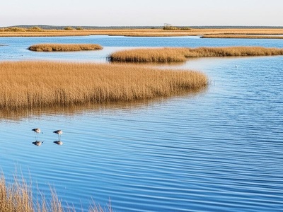
A vast and shallow bay on the lower Eastern Shore, renowned for its extensive marshes and pristine wilderness. Part of the Blackwater National Wildlife Refuge, it’s an exceptional destination for crabbing, fishing for speckled trout, and world-class waterfowl hunting.
Assawoman Bay
Located at the northern end of Ocean City, this shallow coastal bay is perfect for kayaking, paddleboarding, and pontoon boating. It offers calmer waters than the ocean and features beautiful marsh islands and abundant wildlife, including herons and egrets.
Isle of Wight Bay
The bustling bay behind Ocean City, a hub for watersports, boating, and fishing. Its waters are lined with marinas, restaurants, and waterfront homes, providing a lively backdrop for summer recreation and spectacular sunsets over the coastal marshes.
Herring Bay
A well-protected bay on the Chesapeake’s western shore, home to the popular towns of Deale and North Beach. It’s a major hub for charter fishing and recreational boating, offering easy access to the main stem of the Chesapeake and charming waterfront dining.
Sinepuxent Bay
Situated south of the Ocean City Inlet, this bay is bordered by Assateague Island National Seashore. It’s a prime spot for fishing, crabbing, and observing the famous wild horses in a more natural, less developed setting than its northern counterparts.
Monie Bay
A component of the Chesapeake Bay National Estuarine Research Reserve, Monie Bay is a remote and ecologically rich area. Its pristine salt marshes and tidal creeks provide vital habitat for wildlife, making it a fantastic destination for birding and exploratory kayaking.
Tar Bay
A wide-mouthed bay located at the confluence of the Choptank River and the Chesapeake Bay. It’s a popular fishing ground for rockfish and perch, offering beautiful views and serving as a gateway to the historic town of Cambridge just upriver.
Newport Bay
Part of the Sinepuxent Bay complex, this body of water lies just north of Chincoteague Bay. It is a key area for commercial clamming and oystering, featuring vast tidal flats and marshlands that attract a wide variety of shorebirds and waterfowl.
Prospect Bay
A scenic bay on the eastern side of Kent Narrows, branching off the Chester River. Known for its quiet coves and residential communities, it’s a popular spot for pleasure boating, water skiing, and fishing in a more sheltered environment than the open Chesapeake.
Stillpond Bay
A wide, scenic bay on the upper Chesapeake in Kent County, known for its sandy beaches and quiet atmosphere. It’s a favorite anchorage for boaters seeking a peaceful retreat, offering excellent protection from winds and beautiful natural surroundings away from the crowds.
Brannock Bay
A wide embayment on the Little Choptank River, this bay is a prime spot for crabbing and fishing in Dorchester County. Its relatively open waters are popular with local watermen and recreational anglers searching for rockfish, perch, and croaker.
Crab Alley Bay
A sheltered embayment on the southern side of Kent Island, just off Eastern Bay. Known as a fantastic spot for crabbing and anchoring, its protected waters make it a favorite destination for boaters looking for a quiet spot to relax for the day.
Trippe Bay
Located on the Choptank River near Easton, this broad bay is formed by the mouth of Trippe Creek. It’s a scenic area popular with local boaters and sailors, offering easy access to the river and several quiet, picturesque anchorages along its shores.
Langford Bay
A large, protected bay on Langford Creek, a tributary of the Chester River. This serene waterway is a haven for sailors and powerboaters, with numerous quiet coves perfect for anchoring and exploring the picturesque Eastern Shore landscape.
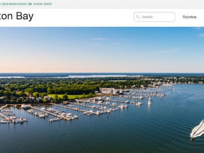
Worton Bay
Formed by the mouth of Worton Creek, this bay is a popular and well-protected harbor on the upper Chesapeake. Home to several large marinas, it serves as a key destination for transient boaters and local sailors exploring the beautiful Kent County shoreline.
Fairlee Bay
A beloved anchorage on the upper Chesapeake, Fairlee Bay is known for its calm waters and family-friendly atmosphere. Its long, sandy spit is perfect for swimming and beachcombing, making it a popular weekend destination for boaters from Baltimore and Annapolis.

Broadford Bay
A peaceful bay branching off the Tred Avon River near the historic town of Oxford. This tranquil spot is surrounded by beautiful homes and offers a quiet retreat for sailors and powerboaters exploring one of the Chesapeake’s most scenic tributaries.
Little Bay
Tucked away at the southern end of Chincoteague Bay near the Virginia line, this small, shallow bay is a quiet spot for fishing and kayaking. It’s an excellent place to find flounder and spot wading birds among the pristine salt marshes.
St. Inigoes Bay
A historic bay on the St. Mary’s River, close to Maryland’s first colonial settlement. It offers a protected anchorage with deep water and is a great base for exploring nearby historic sites like St. Mary’s City and the surrounding scenic waterways.
Swan Bay
Located at the mouth of Swan Creek near Rock Hall, this bay provides a well-marked channel and anchorage for boats. It offers easy access to the Chesapeake and the services in town, making it a convenient and scenic stop for cruising sailors.

Hambrooks Bay
Situated on the Choptank River adjacent to the city of Cambridge, this small bay offers convenient access for local boaters. It provides a protected anchorage and is the location of the Cambridge Yacht Club, making it a hub of local sailing activity.
Goose Bay
A small, protected bay on the Wicomico River in St. Mary’s County. Its calm waters make it ideal for kayaking and fishing for perch and rockfish. The bay is surrounded by quiet, rural landscapes, offering a peaceful escape for paddlers.
The Grey’s Bay
A quiet embayment on Nanjemoy Creek, a tributary of the Potomac River. This secluded spot is part of a largely undeveloped watershed, providing excellent opportunities for wildlife observation, peaceful kayaking, and bass fishing in a pristine natural setting.
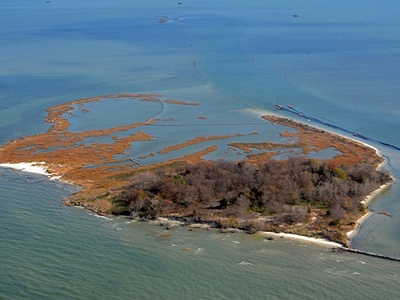
Balls Bay
A small, marshy bay located within the vast Blackwater National Wildlife Refuge complex. It’s a remote spot, best explored by kayak or shallow-draft skiff, offering an immersive experience in one of the East Coast’s most important tidal marsh ecosystems.

Todds Bay
A small embayment on the Choptank River’s southern shore, near the mouth of the Little Choptank. It’s a quiet, local spot known for good crabbing and fishing away from the main river channel, surrounded by the rural beauty of Dorchester County.
Poynton Bay
A secluded bay on the Potomac River’s Maryland shore, located within Naval Support Facility Indian Head. While access may be restricted, it’s a historically significant area and part of a scenic and ecologically important stretch of the river.
Deep Bay
A small, protected bay at the mouth of the St. Mary’s River where it meets the Potomac. It provides a quiet anchorage for boaters exploring the historic river, with scenic views and calm waters ideal for a peaceful stopover.
Hog Bay
A small, sheltered bay on the Patuxent River, just south of the Governor Thomas Johnson Bridge. It’s a popular spot for local anglers and kayakers looking for a calm place to launch and explore the river’s scenic shoreline near Solomons Island.