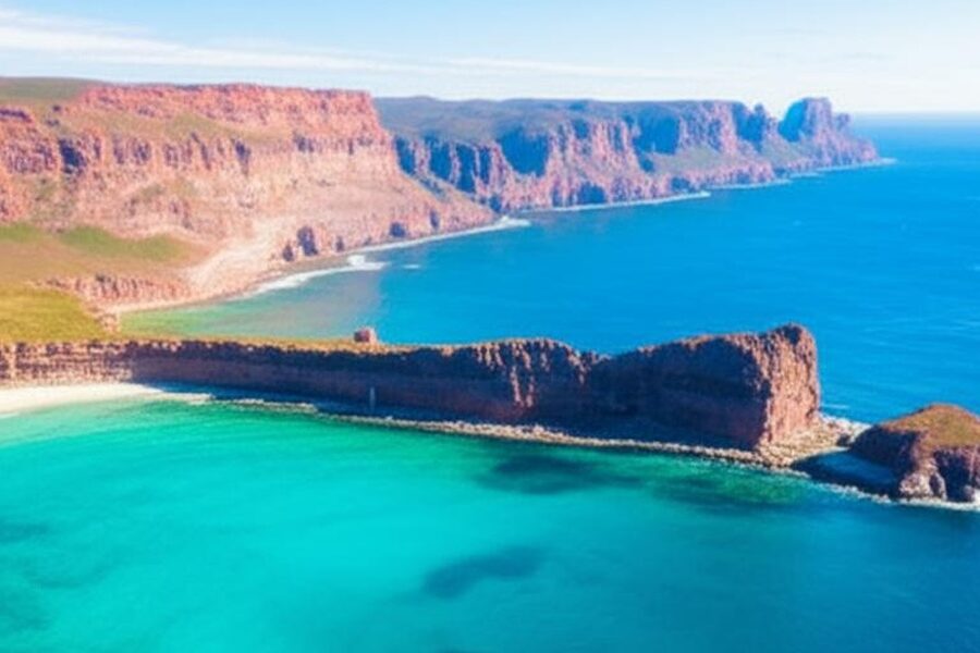
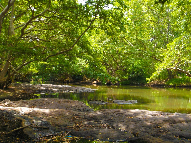
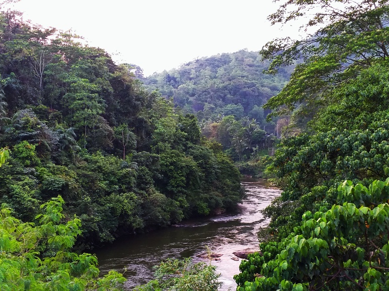
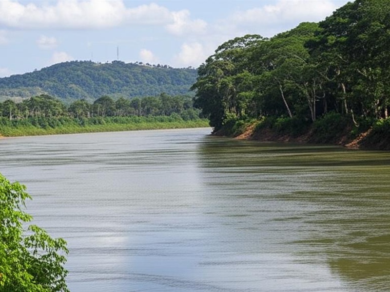
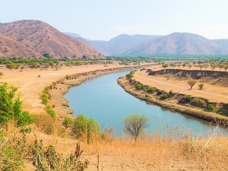
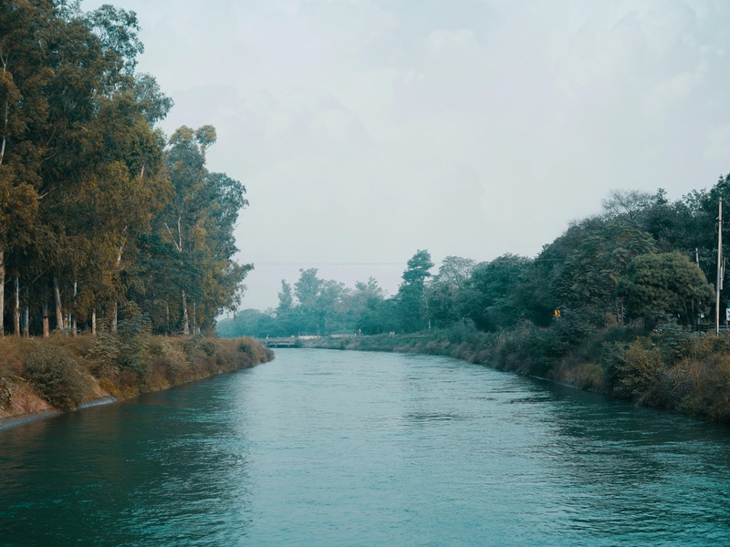
Sri Lanka’s rivers stitch the island together, shaping valleys, supporting agriculture, and feeding coastal wetlands. From hill country streams to broad lowland channels, they influence settlement, transport and local ecosystems across provinces.
There are 40 Rivers in Sri Lanka, ranging from Attanagalu Oya to Yan Oya. For each entry you’ll find below data organized as Length (km), Provinces, Notable features/uses to help you compare size, location and practical importance — you’ll find below.
How is the list organized and what do the columns tell me?
Each river entry lists its Length (km) so you can judge scale, the Provinces it passes through to locate it administratively, and Notable features/uses that summarize things like irrigation schemes, hydroelectric stations, floodplain uses, or cultural sites; together these make it easy to sort by size, region or practical significance.
Which rivers are most important for irrigation and hydropower?
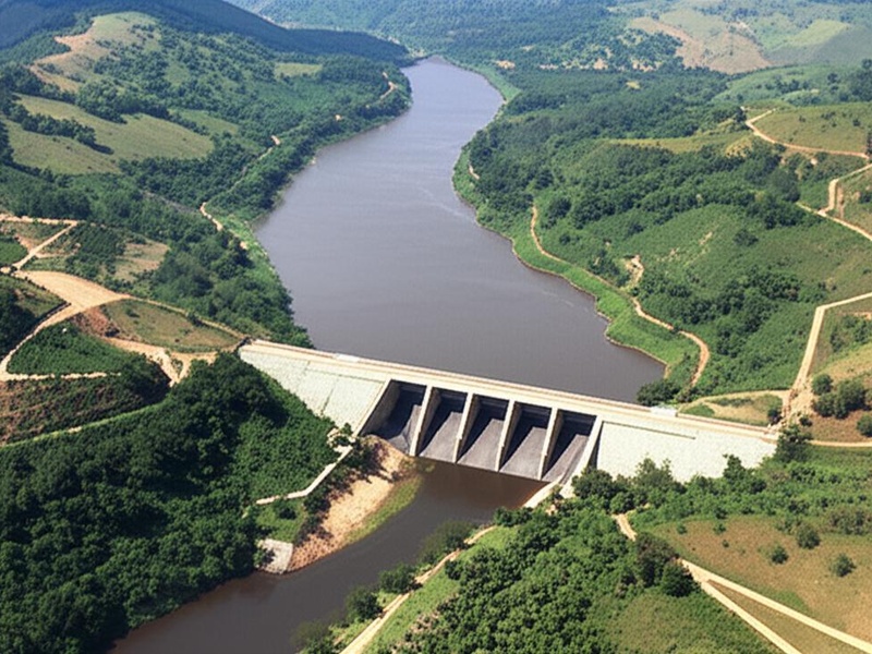
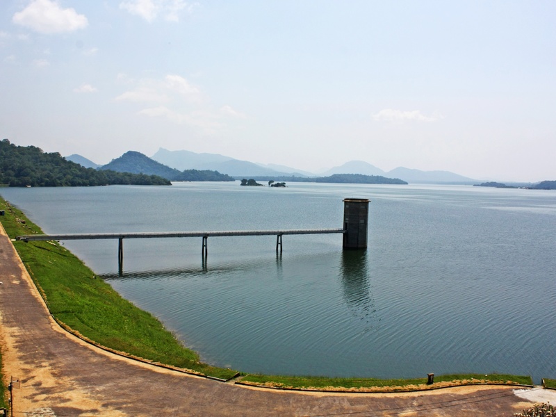
Major water-management efforts center on the island’s larger rivers: the longest basins provide the bulk of irrigation and reservoir capacity, while several also host hydropower and municipal supply projects; many smaller rivers are primarily local resources for agriculture and community water needs.
Rivers in Sri Lanka
| Name | Length (km) | Provinces | Notable features/uses |
|---|---|---|---|
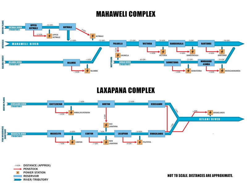
| Mahaweli Ganga | 335 | Central, North Central, Eastern | Sri Lanka’s longest river; major source for hydroelectricity and irrigation |
| Malvathu Oya | 164 | North Central, Northern | Flows near ancient Anuradhapura; vital for historical irrigation systems |
| Kala Oya | 148 | North Central, North Western | Feeds ancient reservoirs like Kala Wewa; part of cascade irrigation systems |
| Kelani Ganga | 145 | Sabaragamuwa, Western | Flows through Colombo; provides drinking water; known for sand mining and floods |
| Yan Oya | 142 | North Central, Eastern | Major dry zone river; site of the large Yan Oya Reservoir project |
| Deduru Oya | 142 | Central, North Western | One of the longest rivers; major irrigation source in North Western province |
| Walawe Ganga | 138 | Uva, Sabaragamuwa, Southern | Feeds Uda Walawe Reservoir; supports agriculture and a famous national park |
| Maduru Oya | 135 | Uva, Eastern | Associated with Maduru Oya National Park and major irrigation reservoir |
| Maha Oya | 134 | Central, Sabaragamuwa, Western, North Western | Important for agriculture and industry; known for sand mining |
| Kalu Ganga | 129 | Sabaragamuwa, Western | High discharge volume; known for gem deposits in its basin |
| Kirindi Oya | 117 | Uva, Southern | Flows through Yala National Park; essential for wildlife and irrigation |
| Kumbukkan Oya | 116 | Uva, Eastern | Forms the boundary of Yala National Park; important for regional wildlife |
| Gin Ganga | 116 | Southern | Major river in the south; known for frequent flooding in the Galle district |
| Menik Ganga | 114 | Uva, Southern | Flows near sacred Kataragama city and through Yala National Park |
| Mi Oya | 109 | North Central, North Western | Important dry zone river; supports local agriculture and irrigation schemes |
| Gal Oya | 108 | Uva, Eastern | Site of Gal Oya scheme, a major post-independence development project |
| Attanagalu Oya | 76 | Western | Flows through a densely populated industrial area north of Colombo |
| Nilwala Ganga | 72 | Southern | Main river of Matara district; vital for agriculture; prone to flooding |
| Kotmale Oya | 70 | Central | Major tributary of Mahaweli; site of the Kotmale Dam and hydroelectric plant |
| Kanakarayan Aru | 70 | Northern | One of the longest rivers in the Northern Province; dammed for irrigation |
| Bentara Ganga | 68 | Sabaragamuwa, Southern, Western | Popular for water sports and tourism at its estuary in Bentota |
| Mundeni Aru | 65 | Eastern | Major river system in the Batticaloa District, draining into lagoons |
| Heda Oya | 62 | Uva, Eastern | Important for agriculture and irrigation in the Ampara District |
| Parangi Aru | 60 | Northern | Major river in Mannar District, vital for agriculture in a dry region |
| Uma Oya | 60 | Uva, Central | Mahaweli tributary; site of the controversial Uma Oya Multipurpose Project |
| Polwathu Oya | 56 | Southern | Main water source for the Hambantota district, prone to drying up |
| Pali Aru | 52 | Northern | Flows through Mullaitivu District, important for local irrigation schemes |
| Mandekal Aru | 48 | Northern | Also known as Pallai Aru, drains into the Jaffna Lagoon |
| Karambalan Aru | 45 | Eastern | Drains into the large Batticaloa Lagoon, supports local fishing |
| Kirama Oya | 40 | Southern | Important for irrigation and paddy cultivation in the Hambantota district |
| Hulu Ganga | 35 | Central | Tributary of Mahaweli Ganga noted for its numerous scenic waterfalls |
| Kukule Ganga | 30 | Sabaragamuwa, Western | Tributary of Kalu Ganga; site of a major hydroelectric power station |
| Mavila Aru | 25 | Eastern | Historically significant anicut that sparked the Fourth Eelam War |
| Thondaman Aru | 20 | Northern | Drains into the Thondamanaru Lagoon in the Jaffna Peninsula |
| Loggal Oya | 66 | Uva | Major tributary of the Mahaweli; feeds the Loggal Oya Reservoir |
| Nanu Oya | 25 | Central | Flows through Nuwara Eliya, originating from Pidurutalagala, Sri Lanka’s highest peak |
| Sita Oya | 15 | Central | Believed to be the stream where Sita bathed in the Ramayana epic |
| Maanik Oya | 15 | Southern | Also known as Manal Aru; flows into the sea at Hambantota |
| Galmal Oya | 32 | Sabaragamuwa | Known for its scenic beauty and small-scale hydropower projects |
| Rath Ganga | 20 | Sabaragamuwa | Originates in the Sinharaja Forest Reserve, known for its pristine water |
Images and Descriptions
Mahaweli Ganga
Mahaweli Ganga is the longest river in Sri Lanka. It rises in the central highlands and flows northeast to the sea. It powers major hydro reservoirs and supplies water for irrigation and cities. Include it as the island’s primary river system and a key source of hydropower and agriculture.
Malvathu Oya
Malvathu Oya runs through the north-central plains around Anuradhapura. It drains dry zone lands and feeds ancient irrigation tanks. It supports farming and local water supply. Include it for its role in historic irrigation systems.
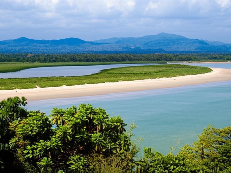
Kala Oya
Kala Oya flows across the northwest lowlands toward the sea. It waters rice fields and supports small fisheries. It forms part of the Puttalam-Puttalam lagoon area and local irrigation schemes. Include it as a major river in the northwest region.
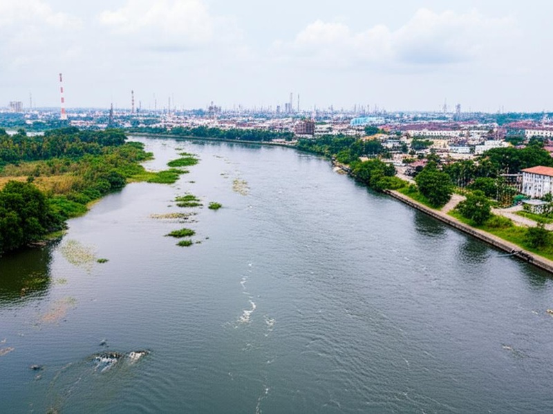
Kelani Ganga
Kelani Ganga starts in the central hills and runs west to the coast near Colombo. It provides water for the capital region and supports industry and transport. It also feeds hydro projects and lowland irrigation. Include it for its importance to Colombo and western Sri Lanka.
Yan Oya
Yan Oya flows across the north-central and northeastern plains. It supplies water for agriculture and local communities. It runs through dry-zone landscapes and joins coastal wetlands. Include it as a key river in the dry north.
Deduru Oya
Deduru Oya moves from central uplands to the west coast. It irrigates large rice areas in the northwest. It supports local fisheries and small reservoirs. Include it for its agricultural importance in the northwest.
Walawe Ganga
Walawe Ganga drains the south-central hills to the southern coast. It supports irrigation, hydropower, and fisheries. It passes through wildlife and farming areas in the south. Include it as a principal southern river.
Maduru Oya
Maduru Oya rises in the central highlands and forms Maduru Oya Reservoir. It supplies irrigation and drinking water. It also borders protected forest and wildlife areas. Include it for its reservoir and conservation value.
Maha Oya
Maha Oya flows in the western lowlands north of Colombo. It drains agricultural plains and empties to the sea. It supports village water needs and irrigation. Include it among important western coastal rivers.
Kalu Ganga
Kalu Ganga starts in the central hills and runs southwest to the Indian Ocean. It passes gem-mining and tea areas and supports local hydro projects. It feeds coastal fisheries and farming. Include it for its role in the southwest and gem country.
Kirindi Oya
Kirindi Oya runs in the dry southeast toward the sea. It waters agricultural lands and wetlands near Yala and Hambantota. It supports local irrigation and wildlife habitats. Include it for its role in southeastern ecosystems.
Kumbukkan Oya
Kumbukkan Oya flows through the eastern plains. It supports irrigation and rural communities. It joins coastal wetlands and seasonal lagoons. Include it as a regional river for eastern agriculture.
Gin Ganga
Gin Ganga runs in the southern province toward the sea near Galle. It drains a small coastal basin and feeds rice paddies and fisheries. It forms a coastal estuary important to the Galle area. Include it for southern coastal geography.
Menik Ganga
Menik Ganga travels through the southeast to the Indian Ocean. It waters rice lands and local towns. It forms coastal wetlands and supports fisheries. Include it as a key river in southeastern Sri Lanka.
Mi Oya
Mi Oya is a coastal river in the northwest lowlands. It serves irrigation, small fisheries, and village water supply. It drains seasonal plains and connects to coastal lagoons. Include it as part of the island’s northwest river network.
Gal Oya
Gal Oya flows from the central hills to the eastern coast. It creates the large Gal Oya Reservoir and national park area. It provides irrigation, drinking water, and wildlife habitat. Include it for its big reservoir and protected lands.
Attanagalu Oya
Attanagalu Oya drains the Gampaha and Negombo area to Negombo Lagoon. It runs through suburban and agricultural land. It supports irrigation, local fisheries, and flood control works. Include it for its role near the western lagoons and towns.
Nilwala Ganga
Nilwala Ganga flows from the central hills to the southern coast at Matara. It supports agriculture and local water supply. It has a history of flooding and river management projects. Include it for southern river management and coastal impact.
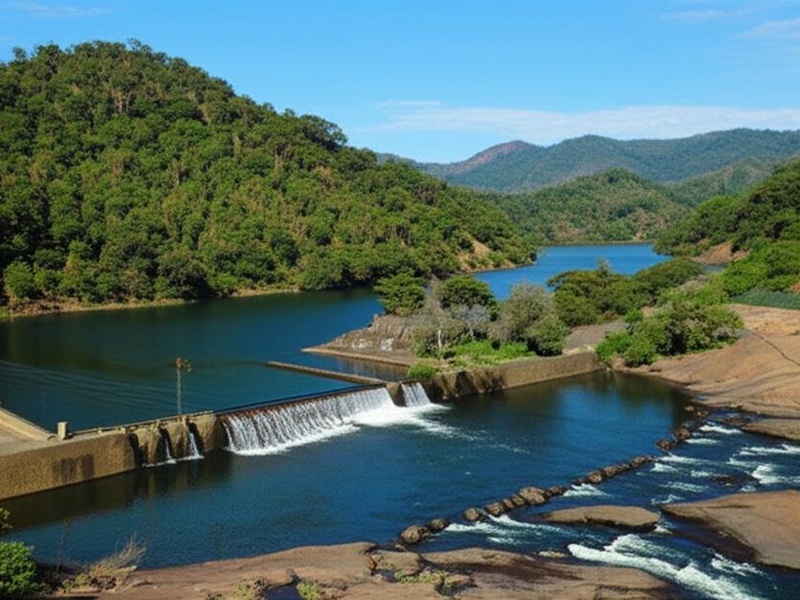
Kotmale Oya
Kotmale Oya is a highland tributary of the Mahaweli system. It forms the Kotmale Reservoir and hydroelectric project. It supplies power and highland irrigation. Include it as an important Mahaweli tributary with major dams.

Kanakarayan Aru
Kanakarayan Aru runs in the northern and northeastern plains. It supports dry-zone agriculture and village water needs. It drains into coastal lagoons and the sea. Include it as one of the many Aru rivers of the north-east.
Bentara Ganga
Bentara Ganga flows in the southern lowlands toward the sea. It feeds wetlands and local farms. It supports small fisheries and rural water use. Include it as a representative southern river.
Mundeni Aru
Mundeni Aru runs through eastern dry-zone plains. It supplies irrigation to rice fields and local communities. It flows into coastal lagoons and tidal areas. Include it for eastern agricultural water supply.
Heda Oya
Heda Oya is a small river found in the southern or southwestern region. It drains hill slopes and supports nearby farming. It contributes to local streams and coastal wetlands. Include it as part of Sri Lanka’s network of minor rivers.
Parangi Aru
Parangi Aru flows in the northeastern region of the island. It supports irrigation and rural livelihoods in the dry zone. It drains to coastal flats and lagoons. Include it as a notable river of the north-east.
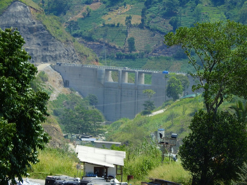
Uma Oya
Uma Oya rises in the central hills and flows to the east. It is the focus of a major multipurpose water and power scheme. It supplies irrigation and hydroelectric power. Include it for its large development project and environmental significance.
Polwathu Oya
Polwathu Oya runs through northern or northwestern lowlands. It waters rice fields and coastal ecosystems. It supports local fishing and village water needs. Include it as a northern coastal river.
Pali Aru
Pali Aru drains the northern plains toward the Palk Bay region. It supports dry-zone agriculture and irrigation tanks. It helps feed coastal wetlands and small fisheries. Include it for northern river networks and farming.
Mandekal Aru
Mandekal Aru flows in the northeastern dry zone. It supplies irrigation water and seasonal flows to local communities. It drains into coastal lagoons or the sea. Include it as one of the region’s agricultural rivers.
Karambalan Aru
Karambalan Aru is a river in the northern or northeastern plains. It provides water for irrigation and local villages. It links to coastal wetlands and small lagoons. Include it as part of the island’s northern river list.
Kirama Oya
Kirama Oya runs through local uplands and lowlands depending on its basin. It supports village agriculture and small fisheries. It joins larger rivers or coastal wetlands in its lower reaches. Include it as a smaller but named river in Sri Lanka.
Hulu Ganga
Hulu Ganga is a hill and lowland stream in southern or central areas. It drains forests and agricultural slopes. It supplies water for local farms and communities. Include it for completeness among named rivers.
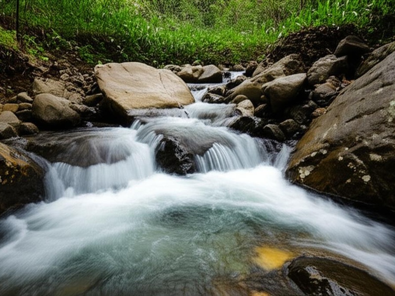
Kukule Ganga
Kukule Ganga flows from central highlands to the lowlands and hosts a hydropower project. It supplies power and irrigation to nearby districts. It drains a steep hill catchment with waterfalls and streams. Include it for its hydro scheme and upland valley.
Mavila Aru
Mavila Aru flows in the northern or northeastern dry-zone plains. It supports irrigation and village water supply. It drains to coastal lagoons or the sea during the rainy season. Include it among regional Aru rivers used for farming.
Thondaman Aru
Thondaman Aru runs through northern coastal plains and wetlands. It supports irrigation and small fisheries. It connects seasonal flows to coastal areas. Include it for its role in northern agriculture and wetlands.
Loggal Oya
Loggal Oya is a local river in a hill or lowland basin. It provides water for nearby farming and communities. It joins larger streams and drains to coastal areas. Include it as one of the many named local rivers.
Nanu Oya
Nanu Oya is a small upland stream near Nuwara Eliya. It flows through tea country and the town of Nuwara Eliya. It supplies local water and joins larger river systems. Include it for highland water supply and scenic value.
Sita Oya
Sita Oya flows from midland hills toward the lowlands. It supports irrigation and small-scale farming. It joins larger rivers or drains to coastal flats. Include it as a mid-sized river in the island’s river network.
Maanik Oya
Maanik Oya is a local stream or small river in Sri Lanka. It supports nearby agriculture and village water needs. It drains to larger rivers or coastal lagoons. Include it for completeness of named waterways.
Galmal Oya
Galmal Oya runs in a regional basin and feeds local irrigation systems. It supports seasonal agriculture and fisheries. It drains toward the sea or coastal wetlands. Include it as a minor but named river in the list.
Rath Ganga
Rath Ganga is a small river found in a hill or lowland area. It supplies water for farms and nearby communities. It connects to larger waterways or coastal systems. Include it as part of the comprehensive list of Sri Lankan rivers.