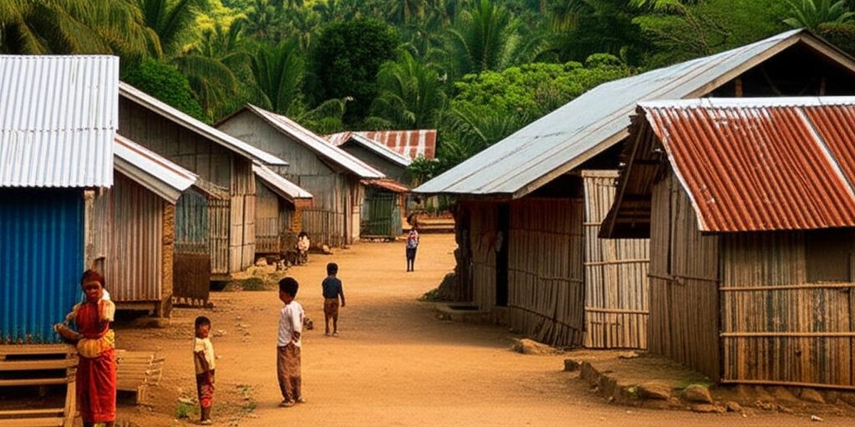
Timor-Leste’s municipalities vary widely in geography and access to services, and understanding where poverty is concentrated helps target relief and development efforts. Rural livelihoods, infrastructure gaps, and post-conflict recovery all shape local living standards across the country.
There are 13 Poorest Cities in Timor-Leste, ranging from Aileu to Viqueque. For each municipality listed, the data are organized as Country,Poverty rate (%),Population (persons) so you can compare prevalence and scale quickly — you’ll find the full list and figures below.
What drives high poverty rates in these municipalities?
Poverty in Timor-Leste’s poorest municipalities is driven by limited market access, low agricultural productivity, seasonal income, and gaps in health and education services; addressing these requires coordinated investments in roads, schools, clinics, and local economic programs tailored to each community.
How should readers use this list for planning or advocacy?
Use the list as a starting point to prioritize areas for program funding, policy attention, or research: combine the poverty rates and population figures with local needs assessments, recent government plans, and on-the-ground partner input before making operational decisions.
Poorest Cities in Timor-Leste
| Municipality | Country | Poverty rate (%) | Population (persons) |
|---|---|---|---|
| Oecusse | Timor-Leste | 56.6 (2014) | 80,183 |
| Ermera | Timor-Leste | 54.8 (2014) | 138,595 |
| Ainaro | Timor-Leste | 52.0 (2014) | 73,739 |
| Manufahi | Timor-Leste | 49.6 (2014) | 60,724 |
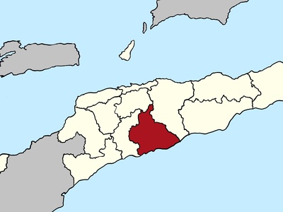
| Bobonaro | Timor-Leste | 48.0 (2014) | 107,529 |
| Covalima | Timor-Leste | 45.4 (2014) | 74,445 |
| Viqueque | Timor-Leste | 45.2 (2014) | 80,672 |
| Manatuto | Timor-Leste | 41.9 (2014) | 51,209 |
| Aileu | Timor-Leste | 39.8 (2014) | 55,047 |
| Lautém | Timor-Leste | 35.6 (2014) | 70,535 |
| Liquiçá | Timor-Leste | 30.6 (2014) | 79,933 |
| Baucau | Timor-Leste | 26.5 (2014) | 135,165 |
| Dili | Timor-Leste | 14.8 (2014) | 324,269 |
Images and Descriptions
Oecusse
Isolated coastal enclave surrounded by Indonesia. Poverty is driven by remoteness and dependence on subsistence farming. As a Special Administrative Region, it’s a focus for large-scale infrastructure projects to improve connectivity and economic opportunities.
Ermera
Mountainous, landlocked coffee-growing heartland. High poverty is linked to fluctuating coffee prices and reliance on subsistence agriculture. Its rugged terrain presents infrastructure challenges, but development efforts focus on improving coffee quality and market access for smallholder farmers.
Ainaro
Rugged, mountainous region in the country’s southwest. Poverty is high due to its remoteness, challenging agricultural conditions, and limited infrastructure. Livelihoods are based on subsistence farming and coffee cultivation, with aid programs targeting food security and road improvements.
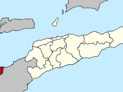
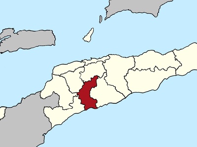
Manufahi
Southern coastal and mountainous municipality. Poverty is linked to agricultural dependence, poor road networks, and vulnerability to natural disasters like landslides. Key livelihoods include farming corn and root crops. Development projects focus on infrastructure and agricultural resilience.
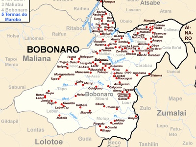
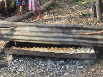
Bobonaro
Western municipality bordering Indonesia, with diverse geography from mountains to coastal plains. High poverty is driven by dependence on rain-fed subsistence agriculture and limited market access. Livelihoods include rice, maize, and livestock, with efforts to improve irrigation and cross-border trade.
Covalima
Located on the southern coast with oil and gas potential but high poverty. Livelihoods are dominated by subsistence agriculture. Development is focused on the Tasi Mane petroleum infrastructure project, aiming to create jobs and stimulate the local economy.
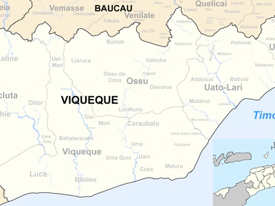
Viqueque
A large, sparsely populated municipality on the south coast with significant agricultural land. Poverty is driven by poor infrastructure and limited access to markets. Main livelihoods include rice cultivation, livestock, and fishing, with programs working to improve agricultural productivity.
Manatuto
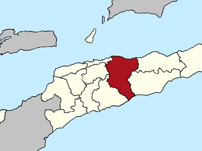
Geographically diverse municipality stretching from the north to the south coast. Poverty is linked to dry, challenging agricultural conditions and poor infrastructure. Livelihoods are based on subsistence farming, fishing, and salt production, with recent road upgrades improving connectivity.
Aileu
Landlocked, mountainous municipality south of Dili known for its cool climate. Poverty drivers include its rugged terrain and reliance on subsistence agriculture and coffee. Its proximity to Dili offers some economic opportunities, and development focuses on horticulture and eco-tourism.
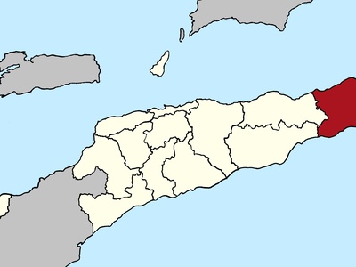
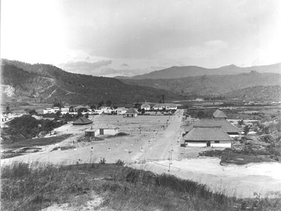
Lautém
The easternmost point of Timor-Leste, known for its unique culture and biodiversity. Poverty is linked to its remoteness and lack of infrastructure. Livelihoods are based on subsistence farming, fishing, and tourism. Conservation and eco-tourism projects are key development initiatives.
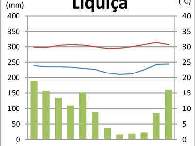
Liquiçá
Coastal municipality just west of Dili with mountainous inland areas. Its proximity to the capital provides some economic advantages, but poverty persists in rural areas. Livelihoods include coffee farming, fishing, and horticulture. Development efforts focus on tourism and agriculture.
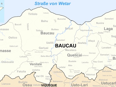
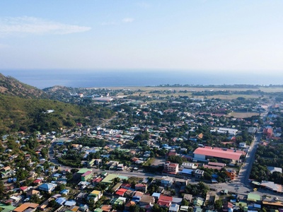
Baucau
The country’s second-largest municipality, serving as a key economic hub for the eastern region. While overall poverty is lower, rural disparities exist. The economy is diverse, including agriculture and services, with infrastructure and airport improvements ongoing.
Dili
The nation’s capital and primary center for commerce, services, and government. It has the lowest poverty rate due to urban employment opportunities, though significant inequality and informal settlements exist. Development is focused on urban infrastructure and services.