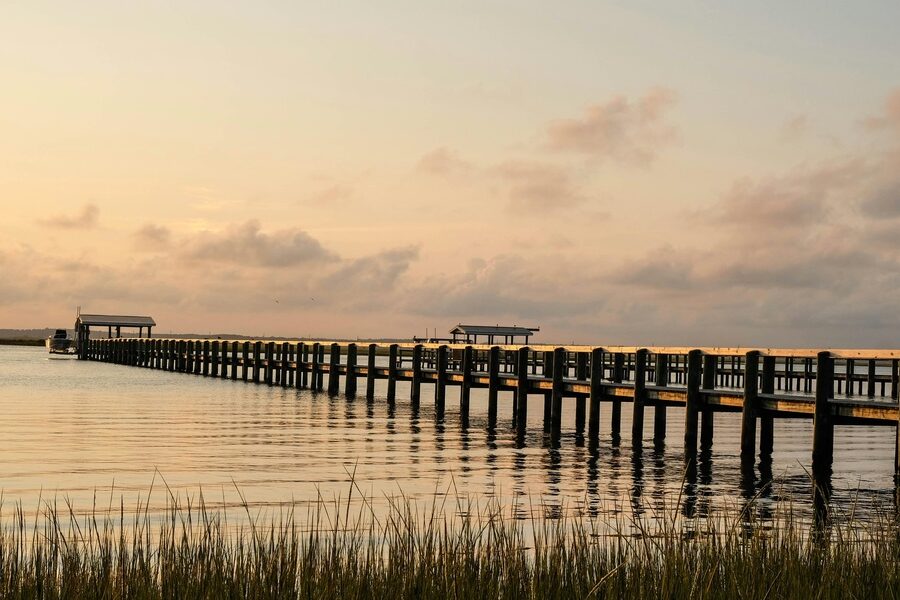
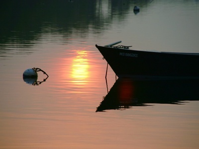
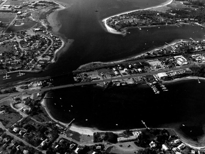
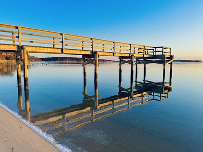
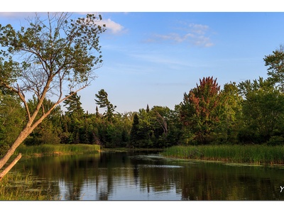
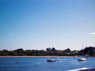
Cape Cod’s coastline is a patchwork of sheltered inlets, salt marshes, and open water that shape local towns, wildlife, and seasonal activities. The bays here influence everything from small‑boat routes to where people swim and launch kayaks.
There are 15 Bays in Cape Cod, ranging from Back River Bay to West Bay. For each bay you’ll find below Towns,Coordinates (lat, lon),Area (km2).
How do these bays affect boating and fishing in Cape Cod?
Bays create varied conditions—some offer protected waters ideal for small boats and shellfishing, while others have strong tides, shoals, or shifting channels that require local knowledge. Use the town names and coordinates listed below, plus current tide charts and local harbormaster advice, to plan safe trips and target species.
How can I quickly find a specific bay from the list on a map?
Use the provided coordinates (lat, lon) to drop a pin in Google Maps or a marine chart app; the town column helps confirm the general area and the area (km2) gives a sense of size. If you’re navigating by boat, cross‑check with nautical charts and recent depth surveys.
Bays in Cape Cod
| Name | Towns | Coordinates (lat, lon) | Area (km2) |
|---|---|---|---|
| Cape Cod Bay | Provincetown, Truro, Wellfleet, Eastham, Orleans, Brewster, Dennis, Yarmouth, Barnstable, Sandwich | 41.9167,-70.3000 | 1,570 |
| Buzzards Bay | Bourne, Falmouth, Mashpee | 41.6000,-70.8000 | 650 |
| Pleasant Bay | Chatham, Harwich, Brewster, Orleans | 41.7200,-69.9800 | 34 |
| Wellfleet Bay | Wellfleet, Eastham | 41.9000,-70.0167 | 32 |
| Waquoit Bay | Falmouth, Mashpee | 41.5650,-70.5250 | 7.3 |
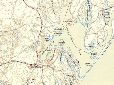
| Popponesset Bay | Mashpee, Barnstable | 41.5875,-70.4500 | 4.5 |
| Lewis Bay | Barnstable | 41.6500,-70.2833 | 4.2 |
| Cotuit Bay | Barnstable | 41.6167,-70.4333 | 3.8 |
| Buttermilk Bay | Bourne | 41.7500,-70.6333 | 3.5 |
| West Bay | Barnstable | 41.6250,-70.3833 | 1.8 |
| Little Pleasant Bay | Orleans, Chatham | 41.7500,-69.9800 | 1.5 |
| North Bay | Barnstable | 41.6400,-70.4000 | 1.2 |
| Back River Bay | Bourne | 41.7280,-70.6270 | 1.1 |
| Little Bay | Bourne | 41.7350,-70.6250 | 1 |
| Ockway Bay | Mashpee | 41.6000,-70.4700 | 0.8 |
Images and Descriptions
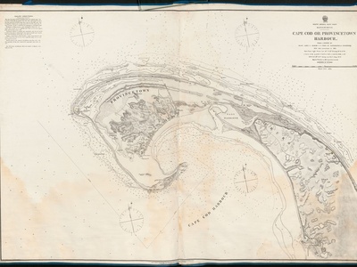
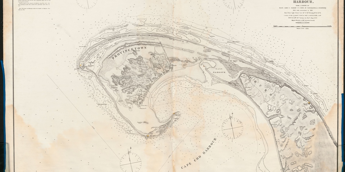
Cape Cod Bay
The iconic, C-shaped bay defining the Cape’s northern shore from Provincetown to Sandwich. It offers vast beaches, whale watching, and calmer waters perfect for swimming, boating, and fishing. Sunsets from the bayside beaches are a classic Cape Cod experience.
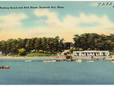
Buzzards Bay
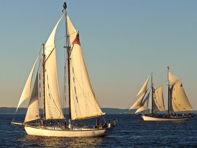
Forming the Cape’s southwestern border, this large bay is a premier destination for sailing and fishing, known for its warmer waters and consistent breezes. Cape-side access points in Bourne, Falmouth, and Mashpee offer beautiful views and diverse marine life.
Pleasant Bay
The largest estuary on Cape Cod, this stunning bay is protected by Nauset Beach. It’s a haven for boating, sailing, seal watching, and kayaking through sheltered waters and salt marshes. Numerous town landings provide public access for exploration.
Wellfleet Bay
World-famous for its namesake oysters and expansive tidal flats that you can walk on for miles at low tide. Home to the Mass Audubon Wellfleet Bay Wildlife Sanctuary, it’s a critical habitat for shorebirds and a paradise for kayakers and nature lovers.
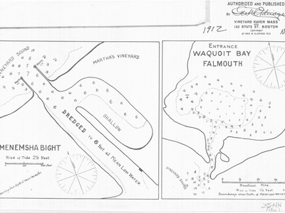
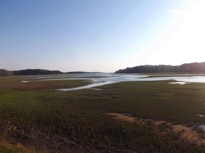
Waquoit Bay
This protected estuary is a National Estuarine Research Reserve, making it a vital natural laboratory. It’s a fantastic spot for kayaking, birding, and exploring undeveloped Washburn Island. Primary access is available through South Cape Beach State Park.
Popponesset Bay
A beautiful, shallow bay protected by the long sand spit of Popponesset Beach. It’s a boater’s paradise, famous for “The Spit” where boats anchor and people gather. The bay is ideal for waterskiing, tubing, and exploring via kayak or paddleboard.
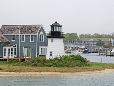
Lewis Bay
A bustling bay in Hyannis, serving as the main access point for ferries to Nantucket and Martha’s Vineyard. It’s a hub for boating and fishing charters, bordered by Kalmus Beach for windsurfing and Veterans Beach for families.
Cotuit Bay
A picturesque bay in the village of Cotuit, popular for sailing, recreational boating, and shellfishing. It opens into Nantucket Sound and is home to the Cotuit Mosquito Yacht Club, one of the oldest yacht clubs in the United States.
Buttermilk Bay
Located at the western entrance to the Cape Cod Canal, this shallow bay is popular for shellfishing, kayaking, and small boat fishing. Several public landings in Bourne and Wareham offer scenic views of the iconic Cape Cod Central Railroad Bridge.
West Bay
Located in the village of Osterville, this bay is connected to Nantucket Sound via a man-made channel. It’s a hub for recreational boating, with several marinas and the Wianno Yacht Club. The calm waters make it great for sailing and family outings.
Little Pleasant Bay
The northern, more intimate section of the greater Pleasant Bay system. It’s a popular spot for kayaking and exploring small islands like Sipson Island. The bay offers calm, protected waters ideal for families and paddlers exploring the Orleans coastline.
North Bay
A smaller, secluded bay in Osterville connected to West Bay. It’s a quiet spot favored by locals for kayaking, paddleboarding, and shellfishing. Its surrounding salt marshes provide a serene environment and a rich habitat for coastal birds and marine life.
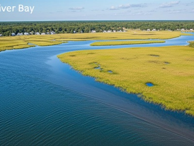
Back River Bay
Connected to Little Bay in Bourne, this shallow tidal bay is part of an estuary feeding into Buzzards Bay. It is primarily a conservation and shellfishing area, offering excellent opportunities for bird watching and exploring salt marshes by kayak at high tide.
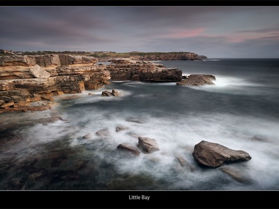
Little Bay
A small, protected bay in Bourne just off Buzzards Bay. It’s a popular spot for shellfishing (with a permit), kayaking, and launching small boats from the town landing. The bay’s calm waters and easy access make it a favorite for local families.
Ockway Bay
A small, sheltered bay within the larger Popponesset Bay system in Mashpee. It offers a more tranquil experience for kayakers and paddleboarders. Its connection to the Mashpee River makes it a great starting point for exploring upstream tidal creeks.