The history of bordering towns between US states spans centuries, shaped by colonial charters, natural features and transportation routes. These communities range from small rural crossroads to large metropolitan areas that effectively function as a single urban region despite sitting in different states. Border towns often show striking contrasts in taxes, regulations, school systems and public services, which can affect everyday life for residents and businesses. Their location makes them important sites for trade, cultural exchange and legal quirks that reveal how state lines still influence local identity and daily routines.
Context
State boundaries in the United States were established over many eras — colonial charters, treaties with Indigenous nations, congressional acts and federal surveys all played a role. Many borders follow rivers, ridgelines or surveyed meridians, and towns often developed where transportation corridors crossed those lines: river ports, rail junctions and road intersections. Today, towns on state lines matter for economic and administrative reasons. Commuting patterns routinely cross borders in metropolitan areas, while differences in sales tax, licensing, alcohol laws or business regulations can shape local economies. Governments sometimes use interstate compacts or local agreements to coordinate shared services such as water supply, transit routes and emergency response. Cultural identity can be layered too: residents may identify with a broader metropolitan area while still living under different state rules across the street.
Scope and coverage
This collection of bordering towns between US states encompasses a variety of situations and scales. It includes towns that are bisected by a state line, paired “twin cities” that face each other across a border, metropolitan regions that span multiple states, and rural communities whose daily life is shaped by the boundary. Coverage focuses on historical origins, geographic causes of borders, legal and economic contrasts, and practical arrangements such as shared services or distinct municipal governments. The aim is to present different types of border towns and the recurring themes that connect them without promising exhaustive listings or exhaustive case studies.
Little-known facts about towns on state lines:
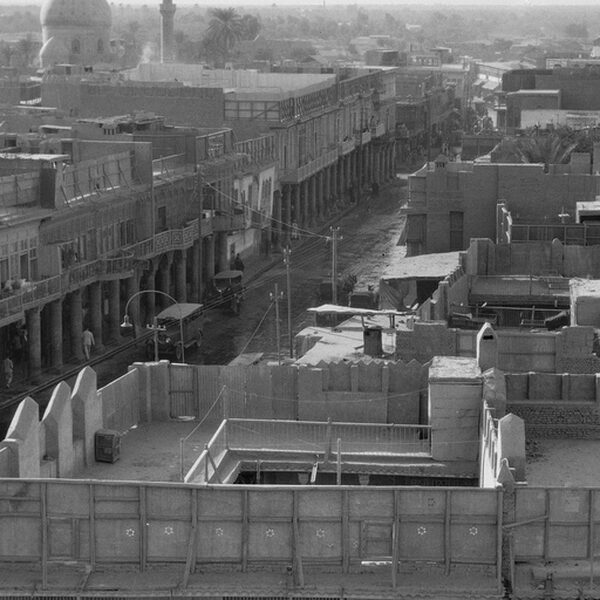
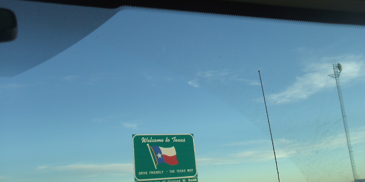
- Several U.S. municipalities straddle state lines; well-known examples include Texarkana (Texas/Arkansas), Kansas City (Missouri/Kansas) and Bristol (Tennessee/Virginia).
- Time observance can differ locally: West Wendover, Nevada, for example, effectively follows Mountain Time to align with nearby Utah commerce and travel patterns.
- Opposite sides of the same street can be governed by different rules, so businesses may face different sales tax, licensing or liquor laws just across the sidewalk.
- Many borders were set by surveys such as the Mason–Dixon line or later federal meridian surveys, and shifting river channels have sometimes altered local boundaries over time.
- Interstate compacts and municipal agreements are common tools for coordinating utilities, transit and emergency services across state lines.
- Census designations, postal addresses and school districts can cross state boundaries, so neighbors in one built-up area may have distinct administrative affiliations.