Singapore’s waterways quietly stitch together parks, housing estates and industrial zones, shaping local ecology and stormwater management. From hidden creeks and mangrove channels to lined urban canals, the network tells a lot about how the city balances development and nature.
There are 35 Rivers in Singapore, ranging from Alexandra Canal to Sungei Whampoa; for each entry you’ll find below the Region, Length (km), and Status & notable (max 15 words) to make comparisons easy and informative—see the list you’ll find below.
How are the rivers measured and what does “Status & notable” mean?
Lengths are listed in kilometres based on mapped channel extent; Region groups the waterway by planning area or catchment. “Status” notes whether the river is natural, canalised, culverted or restored, while “notable” gives a brief (≤15 words) highlight like habitat, historical use or public access.
Can I visit these waterways and are there trails or restrictions?
Access varies: many rivers run alongside park connectors and are freely visitable, while others are within industrial zones or underground and not open to the public. Check local park maps, signage and NParks or URA resources for trail information and any permit requirements.
Rivers in Singapore
| Name | Region | Length (km) | Status & notable (max 15 words) |
|---|---|---|---|
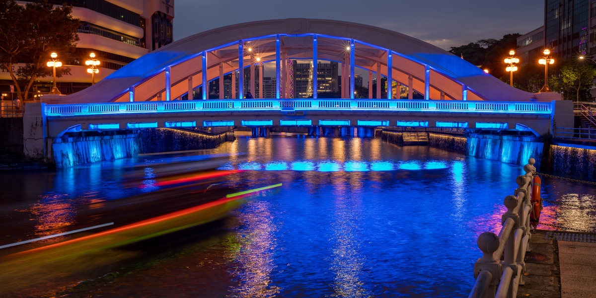
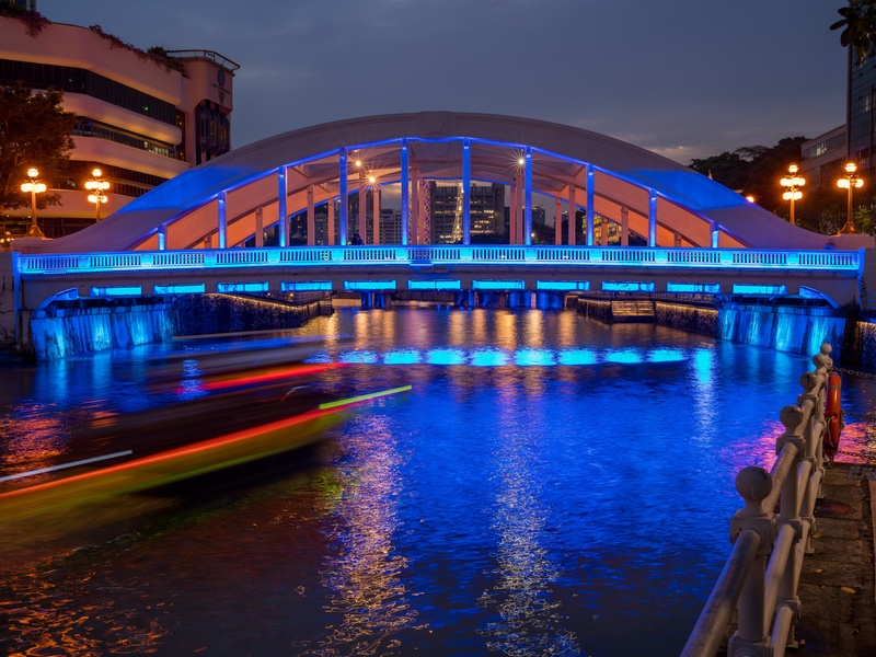
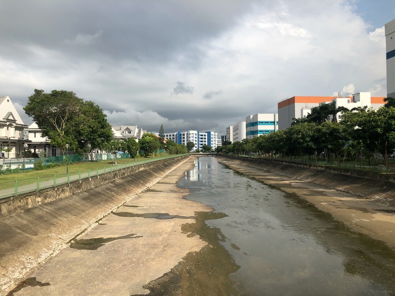
| Singapore River | Central | 3.2 | Canalized urban river; the historic heart of Singapore’s trade and development. |
| Kallang River | Central | 10 | Singapore’s longest river; popular for water sports in the Kallang Basin. |
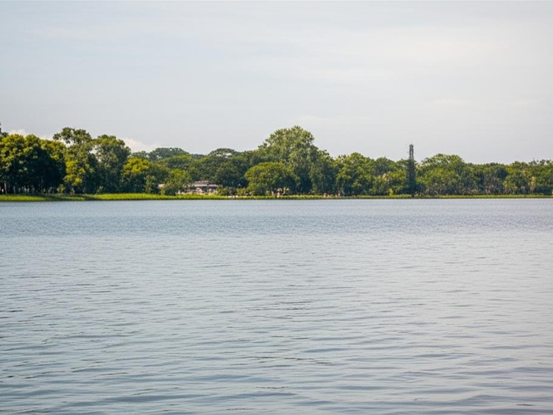
| Kranji River | North/West | 8 | Dammed to form Kranji Reservoir, part of Singapore’s water supply. |
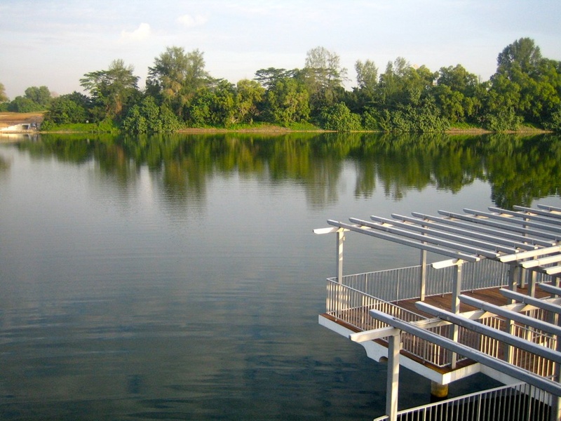
| Sungei Seletar | North | 15 | Dammed to form Lower Seletar Reservoir; popular for fishing and kayaking. |
| Sungei Serangoon | Northeast | 8 | Dammed to form Serangoon Reservoir; part of a popular park connector loop. |
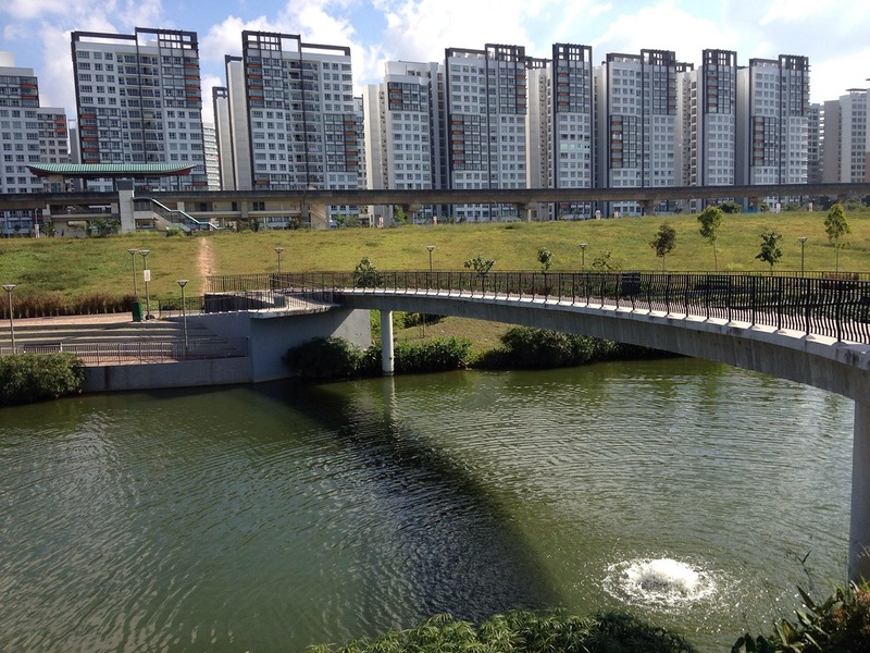
| Sungei Punggol | Northeast | 8.3 | Dammed to form Punggol Reservoir; a key feature of Punggol Waterway Park. |
| Sungei Pandan | West | 4.5 | Canalized and flows into Pandan Reservoir, supporting the Pandan industrial area. |
| Sungei Jurong | West | 5.5 | Flows into Jurong Lake; an integral part of Jurong Lake Gardens. |
| Geylang River | Central/East | 3 | Canalized; flows past Geylang Serai, a culturally rich Malay heritage area. |
| Rochor River | Central | 2.5 | Now Rochor Canal; flows into Kallang Basin near the city centre. |
| Sungei Whampoa | Central | 3.1 | Canalized tributary of the Kallang River; serves a mature housing estate. |
| Sungei Bedok | East | 4.2 | Now largely Bedok Canal; major stormwater drain for the East Coast area. |
| Sungei Tampines | East | 4.2 | Canalized; flows through Tampines and Pasir Ris into Serangoon Harbour. |
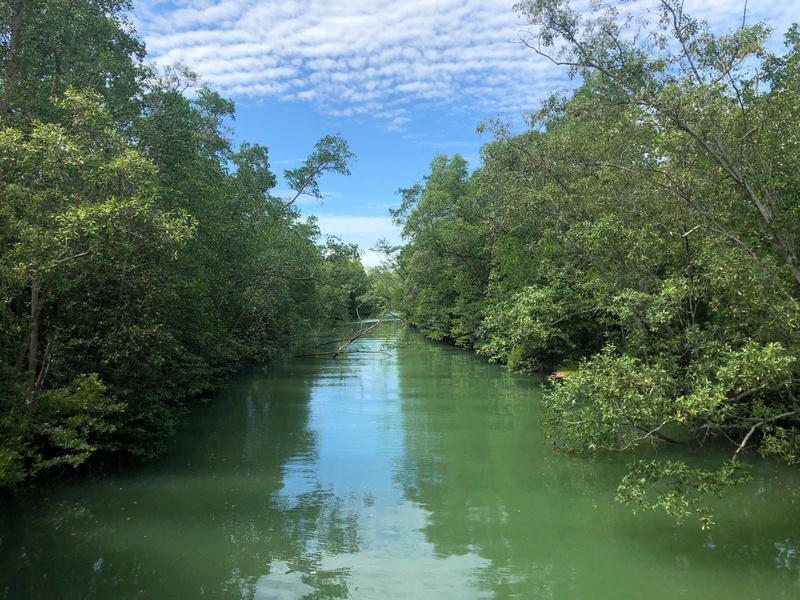
| Sungei Buloh | North | 4.8 | Natural river within Sungei Buloh Wetland Reserve, a migratory bird haven. |
| Sungei Khatib Bongsu | North | 2.5 | One of Singapore’s last natural mangrove rivers, popular for kayaking. |
| Sungei Mandai | North | 4.5 | Flows into Kranji Reservoir near the Singapore Zoo and Night Safari. |
| Sungei Ulu Pandan | West | 4 | Canalized; connects to Sungei Pandan and flows through residential areas. |
| Alexandra Canal | Central | 1.8 | Canalized former river; features a linear park and water play area. |
| Stamford Canal | Central | 4.7 | Covered canal under Orchard Road, a vital flood prevention channel. |
| Sungei Api Api | East | 2.2 | Flows through Pasir Ris Park, retaining some natural mangrove habitat. |
| Sungei Pang Sua | West | 5.3 | Canalized; flows through Choa Chu Kang into Kranji Reservoir. |
| Sungei Lanchar | West | 1 | Naturalized waterway re-created within the Jurong Lake Gardens. |
| Sungei Sembawang | North | 2.6 | Flows through Sembawang Park into the Johor Strait. |
| Sungei China | Offshore | 1.5 | Natural mangrove river on Pulau Ubin, accessible via a boardwalk. |
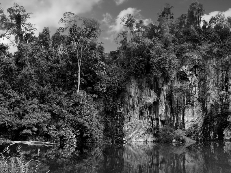
| Sungei Puaka | Offshore | 2.1 | Natural river on Pulau Ubin, leading to a scenic granite quarry. |
| Sungei Murai | West | 3.5 | Dammed to form Murai Reservoir in the SAFTI Live Firing Area. |
| Sungei Tengeh | West | 4.1 | Dammed to form Tengeh Reservoir, home to a large floating solar farm. |
| Sungei Poyan | West | 4.3 | Dammed to form Poyan Reservoir, located in a military training area. |
| Sungei Jelutong | Offshore | 1.3 | Natural river on Pulau Ubin, flowing through lush mangrove forests. |
| Sungei Mamam | Offshore | 1.8 | One of the main natural rivers on Pulau Ubin island. |
| Pelton Canal | Central | 2.9 | Canalized tributary of the Kallang River; part of the ABC Waters programme. |
| Sungei Simpang | North | 2.9 | Canalized; flows through the Simpang housing area in the north. |
| Sungei Kadut | North/West | 2.5 | Canalized; serves the Sungei Kadut industrial estate. |
| Sungei Pinang | Offshore | 1.2 | Natural river on Pulau Ubin that flows into the sea at Mamam Beach. |
| Sungei Blukar | Northeast | 1.5 | Small canalized river that flows into the Serangoon Reservoir. |
Images and Descriptions
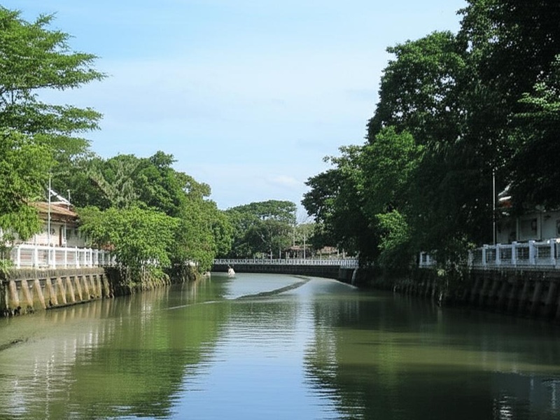
Singapore River
Run through the Central Business District. Serve as Singapore’s historic harbour and trade heart. Undergo major clean-up and redevelopment. Offer boat tours, riverside dining and walking paths. Include because it is the island’s best-known river and a key urban waterway.
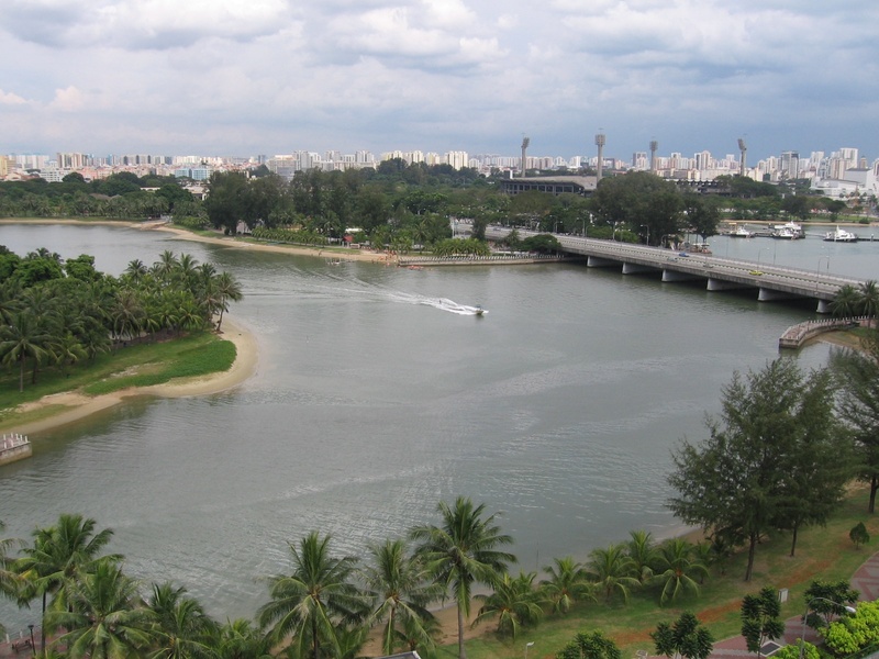
Kallang River
Flow across central-east Singapore into the Kallang Basin. Form one of the island’s larger freshwater catchments. Feature park connectors and boating at the basin. Appear as a major urban river with active recreation.

Kranji River
Run in the north-west near the Kranji area. Feed wetlands and coastal mudflats. Support wildlife and migratory birds. Remain important for rural and reservoir landscapes.
Sungei Seletar
Lie in the north near Seletar and surrounding mangroves. Form a small coastal river system. Support local biodiversity and mangrove habitats. Serve as a named waterway in northern Singapore.
Sungei Serangoon
Flow through the north-east toward the coast. Pass through urban and semi-natural stretches. Appear in local drainage and park connector networks. Serve neighbourhoods in the Serangoon area.
Sungei Punggol
Run through north-east Punggol and Punggol Waterway Park. Feature a landscaped waterway used for kayaking and walking. Represent modern canalised river design for recreation and drainage.
Sungei Pandan
Lie in the west-southwest near Pandan and Jurong areas. Act as a drainage and natural stream in parts. Connect to coastal or reservoir systems. Stand as a named western waterway.
Sungei Jurong
Run in western Singapore near Jurong industrial and park areas. Serve as a local tributary and drainage channel. Connect to larger water bodies and parklands in the west.
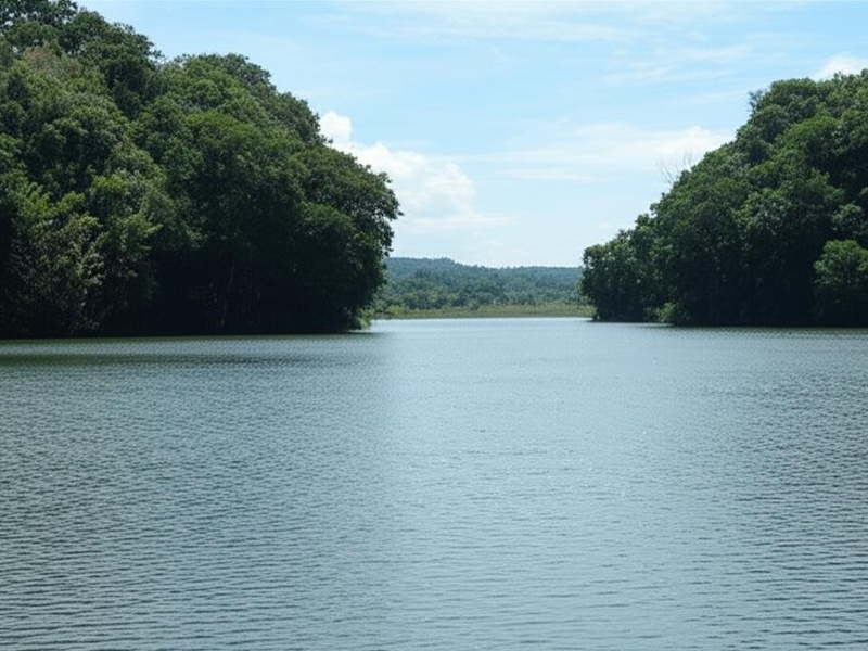
Geylang River
Run through the Geylang neighbourhood in the east-central area. Undergo canalisation for flood control. Border park connectors and local green spaces. Provide an urban river corridor.
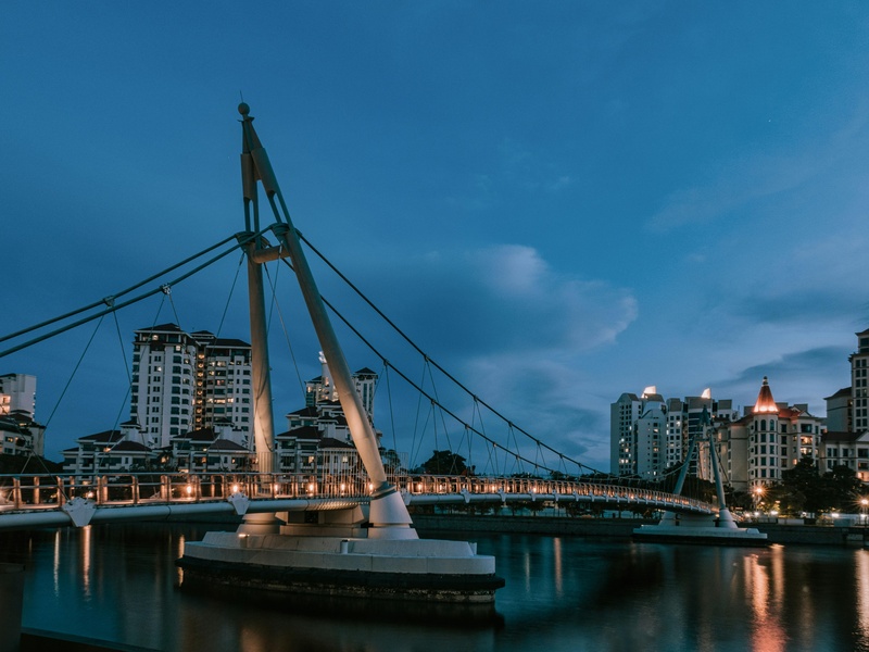
Rochor River
Cut across central Rochor and Kallang zones. Undergo major canalisation and realignment for development. Link to Kallang Basin and city drainage. Remain historically significant in urban planning.
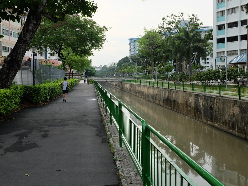
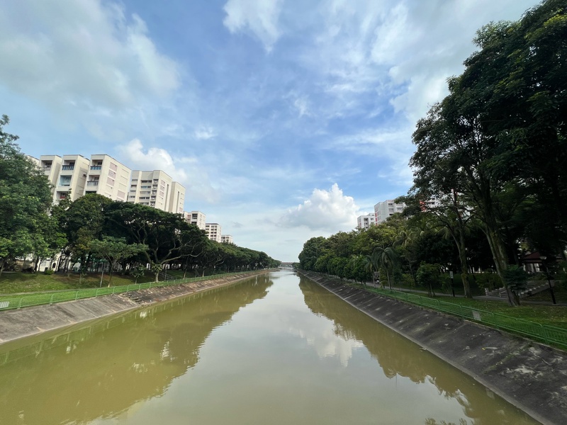
Sungei Whampoa
Flow through central residential areas near Whampoa and Toa Payoh. Act as a local urban stream and drainage channel. Feature park connectors and green buffers in built-up zones.
Sungei Bedok
Run in the east around Bedok and East Coast areas. Serve as a coastal river moving freshwater to the sea. Border parks and housing estates. Feature as a named eastern waterway.
Sungei Tampines
Lie in the eastern Tampines area. Act as a local river feeding drains and park systems. Support neighbourhood greenery and drainage management. Serve as a common local waterway name.
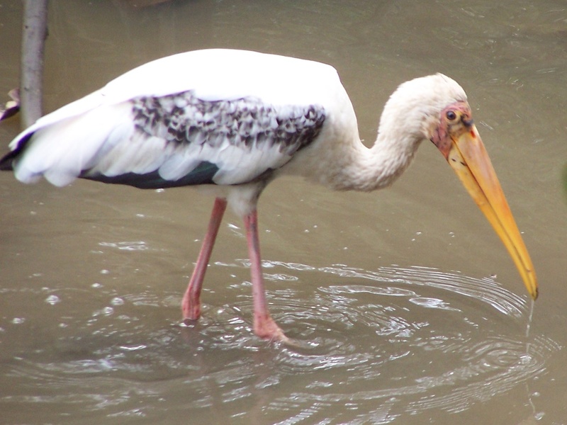
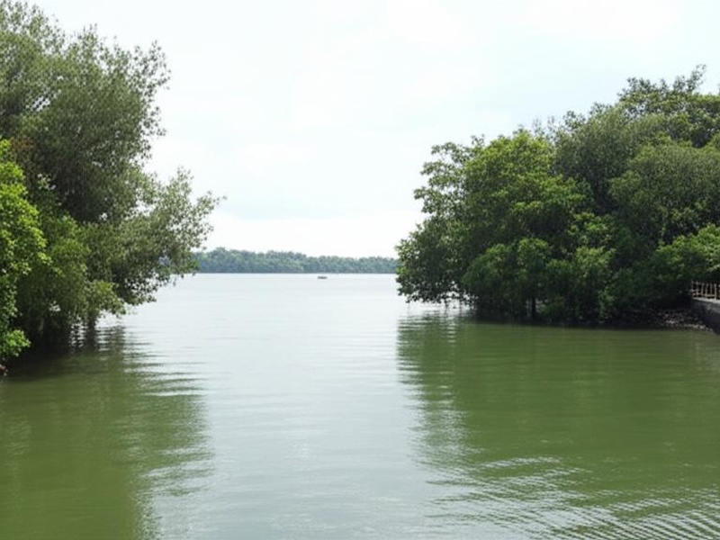
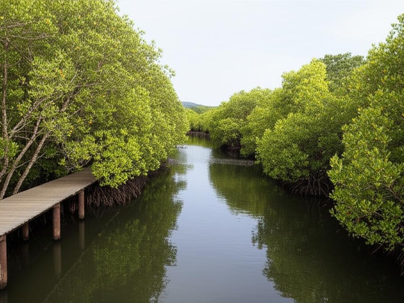
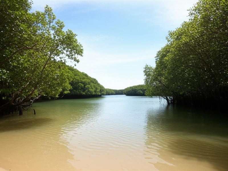
Sungei Buloh
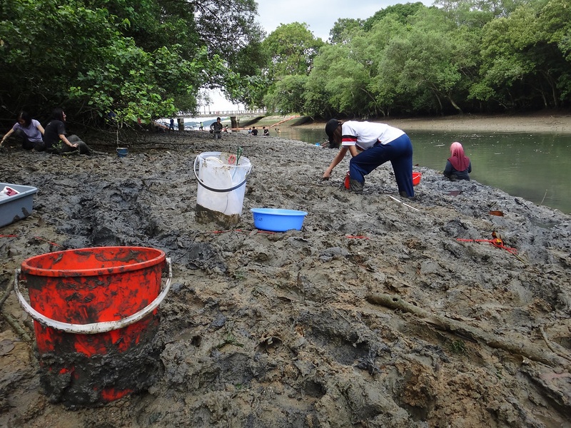
Form the core of Sungei Buloh Wetland Reserve in the north-west. Support mangroves, mudflats and rich birdlife. Act as a top site for nature watching and conservation. Include because of its ecological importance.
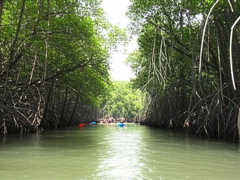
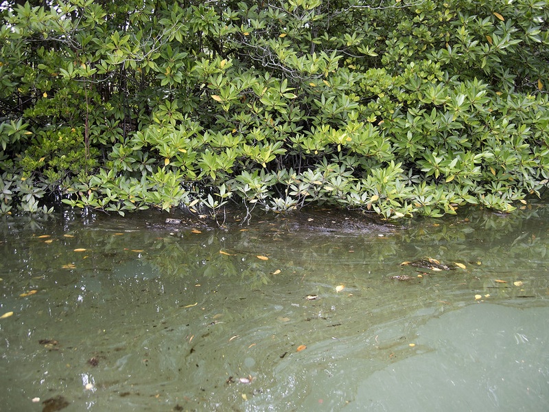
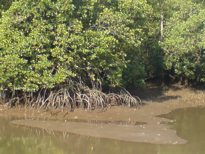
Sungei Khatib Bongsu
Flow at the northern coast near Khatib Bongsu and Sembawang. Support coastal mangroves and bird habitats. Remain part of northern wetland landscapes and local ecology.
Sungei Mandai
Run in the northern Mandai area. Pass through forested and semi-natural zones. Feed northern waterways and support wildlife corridors. Act as a named river in the north.
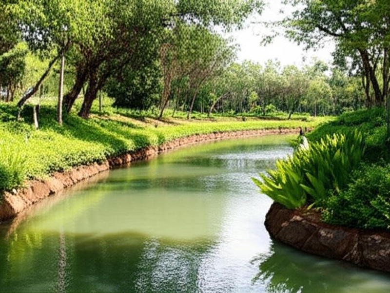
Sungei Ulu Pandan
Pass through central-west Ulu Pandan and Bukit Timah fringes. Undergo urban drainage works and parkland creation. Contain green corridors and walking trails in places. Serve local flood control functions.
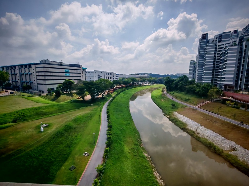
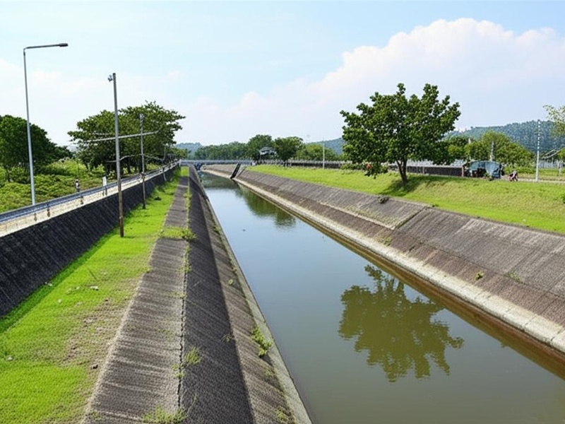
Alexandra Canal
Form a canalised waterway in central-west Alexandra and Queenstown. Provide urban drainage and riverfront promenades. Contain concrete channels and park links. Serve as an engineered canal rather than a natural river.
Stamford Canal
Run through the civic and downtown core as a canal. Manage stormwater and link to city drains. Appear in the central drainage network near older city areas. Act as a small engineered watercourse.
Sungei Api Api
Represent a small named stream or drainage channel in Singapore. Appear in local maps and development plans. Serve as a minor waterway within built-up or coastal zones.
Sungei Pang Sua
Form a local river or canal in western Singapore. Serve drainage, green space margins, and neighbourhoods. Appear on planning maps as a named waterway in the west.
Sungei Lanchar
Act as a minor stream or tributary in Singapore’s river network. Serve local drainage and small wetland pockets. Appear in regional lists of named waterways.
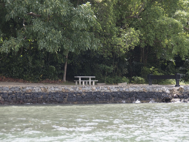
Sungei Sembawang
Flow along the northern Sembawang coast. Support coastal mangroves and local fishing history. Border naval and residential zones in the north. Serve as a northern river feature.
Sungei China
Appear as a small named stream or drainage channel. Serve local neighbourhood drainage and minor wetland areas. Feature on detailed local maps and river lists.
Sungei Puaka
Serve as a minor waterway or creek in Singapore. Act in local drainage and natural patches. Appear as a named river in regional records.
Sungei Murai
Run in the far west near Murai and Tuas precincts. Feed coastal areas and local reservoirs in the west. Serve as a western river with rural and industrial surroundings.
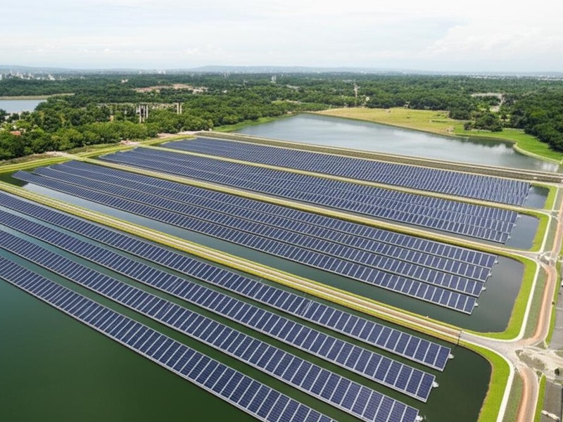
Sungei Tengeh
Lie in the western Tengeh area and feed into Tengeh Reservoir or western coastal zones. Act as a feeder stream and local river. Support offbeat mangrove and coastal habitats.
Sungei Poyan
Form a small river or canal in western or coastal parts of Singapore. Serve drainage and local ecosystems. Feature as a named minor watercourse.
Sungei Jelutong
Act as a local stream or drainage channel in Singapore. Serve neighbourhoods and green corridors. Appear as a named waterway in planning documents.
Sungei Mamam
Represent a minor creek or drainage line. Serve local stormwater needs and small natural patches. Appear on some local maps as a named water feature.
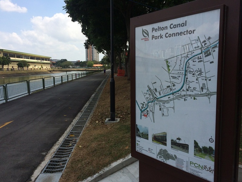
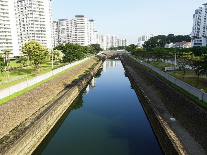
Pelton Canal
Form an engineered canal used for urban drainage. Sit in built-up areas and support flood control. Feature as a named canal rather than a natural river.
Sungei Simpang
Run as a local stream or drainage channel in various parts of Singapore. Serve parks, estates, and stormwater systems. Appear in lists of named rivers and tributaries.
Sungei Kadut
Flow through the north-west Kadut industrial and agricultural area. Serve local drainage and pond systems. Support small natural pockets and industrial land uses.
Sungei Pinang
Act as a minor river or canal in Singapore’s network. Serve drainage, park edges, and local habitats. Appear as a named waterway in regional records.
Sungei Blukar
Represent a small stream or drainage watercourse. Serve local neighbourhoods and wet patches. Appear on detailed local maps as a named river.