The Bahamas are often pictured as endless blue ocean and coral cays, but the islands also host a surprising variety of inland waters—small lakes, ponds and salt flats tucked into mangroves and lowlands that reveal another side of the archipelago’s ecology and geography.
There are exactly 32 Lakes in Bahamas, ranging from Big Lake to The Pond. For each lake, you’ll find below Island/location,Type,Coordinates (lat,lon) so you can pinpoint where each sits, compare types, and plan visits using the information you’ll find below.
Which lakes are easiest to visit?
Look first at entries on larger, populated islands or near ports—those lakes tend to have road access, clearer coordinates and nearby services. Remote cays or privately held sites may need a boat, local permit or guide, so use the Island/location and Coordinates (lat,lon) fields below to check access before you go.
How reliable are the lake types and coordinates?
The list uses maps, public records and satellite data, but coordinates are approximate and waterbody classifications can change with seasons or tides; treat the table below as a solid starting point and verify locations on a current map or with local contacts.
Lakes in Bahamas
| Name | Island/location | Type | Coordinates (lat,lon) |
|---|---|---|---|
| Lake Cunningham | New Providence | fresh | 25.0500,-77.4167 |
| Lake Killarney | New Providence | fresh | 25.0417,-77.4750 |
| Lake Rosa | Great Inagua | saline | 21.0500,-73.5833 |
| Great Lake | San Salvador Island | saline | 24.0667,-74.5000 |
| Captain Bill’s Blue Hole | Andros Island | blue hole | 24.7303,-77.9300 |
| Church’s Blue Hole | North Andros | blue hole | 24.9750,-78.0067 |
| Stargate Blue Hole | South Andros | blue hole | 24.0083,-77.6250 |
| Guardian Blue Hole | Andros Island | blue hole | 24.7075,-77.7886 |
| Mermaid’s Pool | Abaco | blue hole | 26.5414,-77.1086 |
| Sawmill Sink | Abaco | blue hole | 26.5861,-77.2028 |
| Nancy’s Blue Hole | Abaco | blue hole | 26.6531,-77.3056 |
| Sweetings Pond | Eleuthera | saline | 25.2981,-76.4714 |
| Ocean Hole | Rock Sound, Eleuthera | blue hole | 24.8967,-76.1969 |
| Big Pond | New Providence | fresh | 25.0300,-77.3700 |
| Little Lake | San Salvador Island | saline | 24.1167,-74.4500 |
| Big Lake | Cat Island | saline | 24.3333,-75.4667 |
| Boiling Hole | Cat Island | blue hole | 24.1864,-75.3197 |
| The Pond | Mayaguana | saline | 22.3750,-72.9833 |
| The Lake | Rum Cay | saline | 23.6583,-74.8333 |
| Blackwood Blue Hole | Andros Island | blue hole | 24.1722,-77.6369 |
| El Dorado Blue Hole | Andros Island | blue hole | 24.0431,-77.6258 |
| The Pond | Crooked Island | saline | 22.7667,-74.1500 |
| Flamingo Pond | Acklins Island | saline | 22.3833,-74.0500 |
| Pigeon Pond | San Salvador Island | saline | 24.0208,-74.5208 |
| Reckley Hill Pond | San Salvador Island | pond (natural) | 24.0833,-74.4667 |
| Granny’s Lake | San Salvador Island | saline | 24.0958,-74.4667 |
| Miller’s Pond | New Providence | pond (natural) | 25.0200,-77.5250 |
| Storr’s Lake | San Salvador Island | saline | 24.1000,-74.4583 |
| Moon Rock Pond | Acklins Island | saline | 22.5667,-73.9167 |
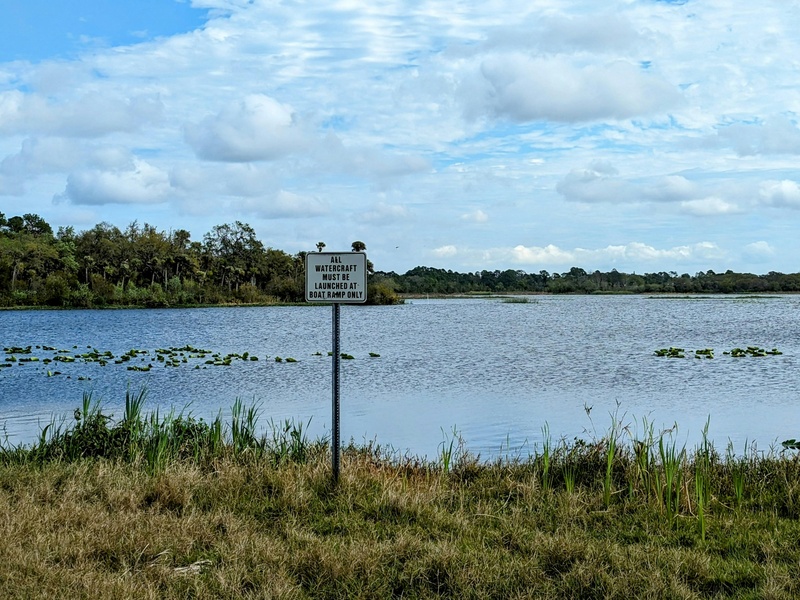
| Salt Pond | Long Island | saline | 23.3167,-75.1167 |
| Gladstone Road Pond | New Providence | pond (natural) | 25.0236,-77.4239 |
| Forfar’s Pond | Andros Island | pond (natural) | 24.7083,-77.7833 |
Images and Descriptions
Lake Cunningham
Identify Lake Cunningham as a large inland lake on New Providence Island near Nassau. It serves as a local park and stormwater basin. Note its role as one of the few named freshwater bodies on the island and its ease of access from the capital.
Lake Killarney
Identify Lake Killarney as a named inland lake in the Bahamas. Treat it as a small freshwater or brackish body found near settlements. Include it because it appears on maps and in local place-name lists.
Lake Rosa
Identify Lake Rosa as a named lake feature in the Bahamas. Treat it as a small, inland water body. Note its inclusion for completeness of named lakes and ponds in national records.

Great Lake
Identify Great Lake as a major named lake feature in Bahamian place-name lists. Treat it as a larger inland water body compared with nearby ponds. Include it for readers seeking the country’s principal lakes.
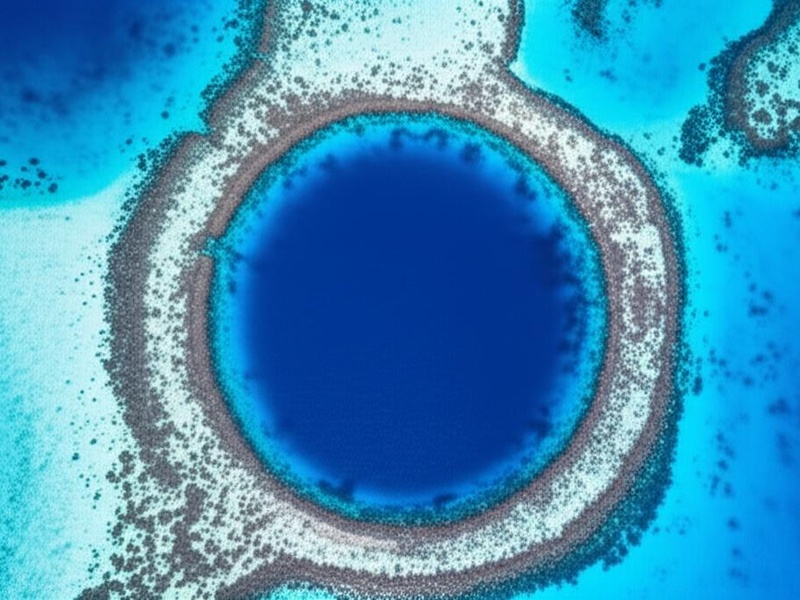
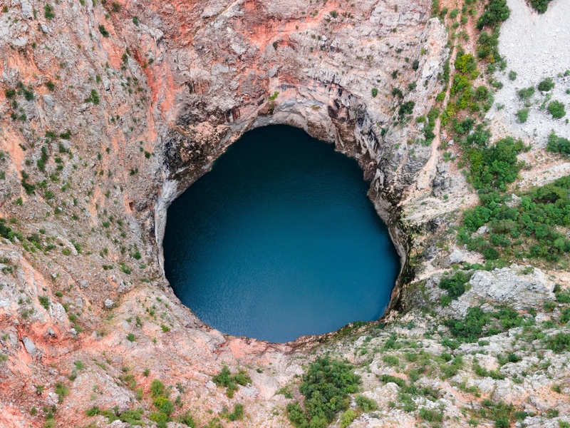
Captain Bill’s Blue Hole
Identify Captain Bill’s Blue Hole as a natural sinkhole called a blue hole. Treat it as a deep, often marine-filled cavity with steep walls. Include it because blue holes are distinct and important lake-like features in the Bahamas.
Church’s Blue Hole
Identify Church’s Blue Hole as a blue hole sinkhole. Treat it as a deep water-filled cavity that may connect to groundwater or the sea. Note its value as a geological and dive feature.

Stargate Blue Hole
Identify Stargate Blue Hole as a named blue hole sink. Treat it as a deep, vertical hole with clear, dark water. Include it as part of the Bahamas’ network of sinkhole lakes.
Guardian Blue Hole
Identify Guardian Blue Hole as a natural blue hole. Treat it as a steep-walled, often saline sinkhole. Note its inclusion for readers tracking notable blue holes across islands.
Mermaid’s Pool
Identify Mermaid’s Pool as a named pool or small lake feature. Treat it as a coastal pond or inland pool with local name recognition. Include it because named pools often appear in local guides and maps.
Sawmill Sink
Identify Sawmill Sink as a sinkhole feature recorded in Bahamas geography. Treat it as a depression that holds water seasonally or permanently. Include it for its geological interest and named status.
Nancy’s Blue Hole
Identify Nancy’s Blue Hole as a named blue hole. Treat it as a deep water-filled sink with strong geological character. Include it for its place in the list of Bahamian blue holes.
Sweetings Pond
Identify Sweetings Pond as a large coastal pond on Andros Island. Treat it as a brackish, partly enclosed body of water that links to the sea in places. Include it because it is one of the better-known non-ocean water bodies in the Bahamas.
Ocean Hole
Identify Ocean Hole as a coastal hole or sink that links to the sea. Treat it as a saltwater-filled vertical cavity or tidal pool. Include it as an ocean-connected variant of lake-like features.
Big Pond
Identify Big Pond as a large named pond feature. Treat it as a significant inland or coastal pond that may be brackish. Include it to cover major pond entries in national place-name lists.
Little Lake
Identify Little Lake as a small inland lake. Treat it as a minor freshwater or brackish body. Include it as part of the full naming of lakes and ponds in the Bahamas.
Big Lake
Identify Big Lake as a larger inland lake compared with nearby small ponds. Treat it as a notable named freshwater or brackish body. Include it for readers seeking the largest inland water features.
Boiling Hole
Identify Boiling Hole as a named sink or hole that can appear to ‘boil’ due to currents or springs. Treat it as a dynamic water feature often linked to underground flow. Include it for its unique hydrological behavior.
The Pond
The Lake
Identify The Lake as a locally named inland water body. Treat it as a principal lake in its immediate area. Include it for its straightforward, map-listed name.
Blackwood Blue Hole
Identify Blackwood Blue Hole as a named blue hole sink. Treat it as a deep, often saline and visually distinct hole. Include it among other blue holes for geological and recreational interest.
El Dorado Blue Hole
Identify El Dorado Blue Hole as a blue hole with a notable name. Treat it as a deep water-filled sinkhole. Include it for its named status and interest to divers and geologists.
The Pond
Flamingo Pond
Identify Flamingo Pond as a named coastal or inland pond likely used by birds. Treat it as a small brackish or freshwater habitat. Include it because bird habitat ponds are important for nature-minded visitors.
Pigeon Pond
Identify Pigeon Pond as a named pond feature. Treat it as a small inland or coastal water body. Include it as part of the full catalog of named ponds in the Bahamas.
Reckley Hill Pond
Identify Reckley Hill Pond as a pond named for a local hill or landmark. Treat it as a small inland water body in a named locality. Include it for its specific toponymic value.
Granny’s Lake
Identify Granny’s Lake as a locally named lake feature. Treat it as a small inland lake with local recognition. Include it to reflect place names used in community maps and guides.
Miller’s Pond
Identify Miller’s Pond as a named pond often recorded on local maps. Treat it as a small freshwater or brackish body. Include it for completeness of named water features.
Storr’s Lake
Identify Storr’s Lake as a named lake listed in place-name records. Treat it as an inland lake of local note. Include it for readers compiling a full list of Bahamian lakes.
Moon Rock Pond
Identify Moon Rock Pond as a pond with a descriptive name. Treat it as a small water body that may have unique rock features nearby. Include it for its mapped name and local interest.
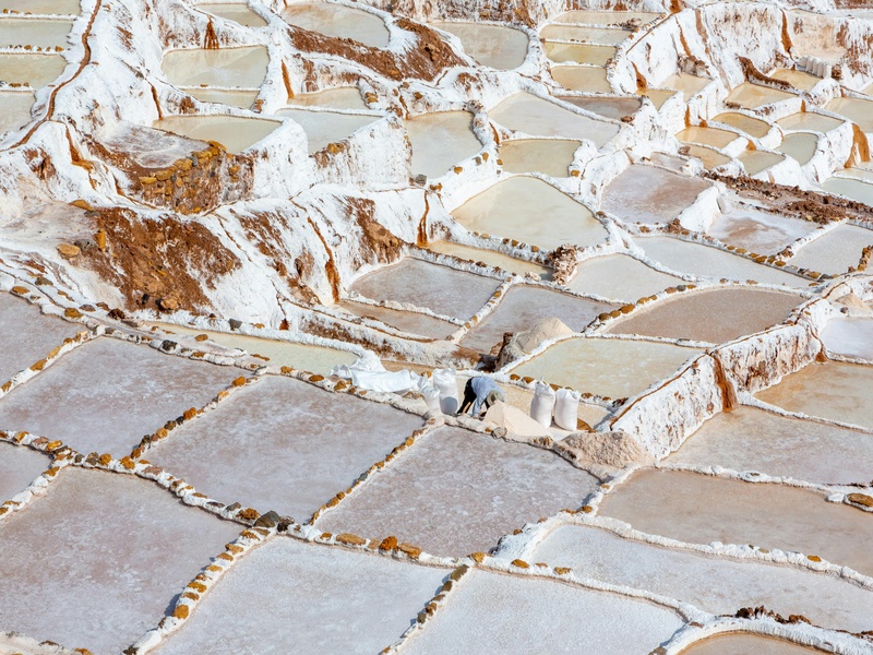
Salt Pond
Identify Salt Pond as a coastal or inland pond with high salinity. Treat it as a brackish to saline lagoon or pond. Include it because salt ponds are common and distinct in island environments.
Gladstone Road Pond
Identify Gladstone Road Pond as a pond named for a nearby road or landmark. Treat it as an accessible, mapped water body. Include it for its clear location-based name.
Forfar’s Pond
Identify Forfar’s Pond as a named pond recorded in local maps. Treat it as a small inland or coastal pond. Include it for its use in local navigation and place-name lists.