When people search “bays in Mobile,” they almost always mean Mobile Bay, the wide Gulf Coast estuary that the city of Mobile sits at the head of. Fair enough. It’s the fourth-largest estuary in the United States and the reason the whole region exists. But there isn’t just one bay here. The Mobile area holds a cluster of named bays, each with its own character, and most reference pages never mention the others.
So here’s the full picture: the big one, the four smaller ones around it, where to fish or boat each, the bizarre fish-stranding event locals call the jubilee, and the naval battle that gave Mobile Bay a place in history books.
Table of Contents
- The Five Bays at a Glance
- Mobile Bay: The Anchor
- Bon Secour Bay
- Weeks Bay
- Wolf Bay
- Perdido Bay
- The Mobile Bay Jubilee
- Fishing and Boating
- The Battle of Mobile Bay
- FAQ
The Five Bays at a Glance
| Bay | Location | Size | Best for |
|---|---|---|---|
| Mobile Bay | Head: Mobile; mouth opens to Gulf | ~413 sq mi, 31 mi long | Big-water fishing, history, ferry rides |
| Bon Secour Bay | Southeast corner, near Gulf Shores | A southern lobe of Mobile Bay | Oystering, calm-water fishing |
| Weeks Bay | East shore, fed by Fish & Magnolia rivers | ~1.5 sq mi | Kayaking, birding, the research reserve |
| Wolf Bay | Far southeast, near Orange Beach | Small, shallow | Paddling, redfish, “the cleanest bay” |
| Perdido Bay | Alabama-Florida line | ~50 sq mi | Quiet fishing, lakefront living |
The plural in your search matters. Mobile Bay is the headliner, but Bon Secour, Weeks, Wolf, and Perdido are real, distinct bodies of water you can launch a boat into, and three of them feed directly into or sit beside the main bay. These five are only the start, too — the state’s coastline and rivers hold far more, and you can see how they stack up in our complete list of bays in Alabama, with coordinates and area measurements for each.
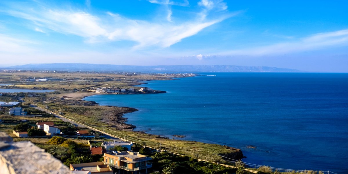
Mobile Bay: The Anchor
Mobile Bay is the estuary where the Mobile and Tensaw rivers — draining a watershed that covers most of Alabama and parts of three other states — empty into the Gulf of Mexico. It runs roughly 31 miles north to south and spreads about 24 miles across at its widest, covering around 413 square miles.
What surprises first-time boaters is how shallow it is. The natural average depth sits around 10 feet, which is part of why dredged shipping channels run down the middle to keep the Port of Mobile open. That shallowness also drives the jubilee (more on that below) and makes the bay turn choppy fast when the wind picks up.
The freshwater discharge averages about 62,000 cubic feet per second, the kind of flow that builds a genuine estuary — brackish, productive, and packed with life. The bay and its delta support more than 300 species of birds and over 300 species of fish, and the Mobile-Tensaw Delta above it is one of the most biologically diverse river deltas in North America.
If you want the quintessential Mobile Bay experience without a boat, ride the Mobile Bay Ferry between Fort Morgan and Dauphin Island, or drive the causeway across the delta on the north end, where the seafood shacks have been frying since long before any of them had a website.
Bon Secour Bay
Bon Secour is the southeastern lobe of Mobile Bay, tucked toward Gulf Shores and the Fort Morgan peninsula. The name is French for “safe harbor,” and it earns it — the water here is calmer than the open bay, sheltered enough that small craft and oyster boats have worked it for generations.
This is oyster country. The village of Bon Secour built its identity around the seafood industry, and the bay still produces oysters, shrimp, and crab. For visitors, the draw is quieter fishing and the nearby Bon Secour National Wildlife Refuge, 7,000-plus acres of dunes, scrub, and beach that shelter nesting sea turtles and the endangered Alabama beach mouse.
Weeks Bay
Weeks Bay is small — about a mile and a half across — but it punches above its size. Two rivers, the Fish and the Magnolia, pour into it before it drains into Mobile Bay on the eastern shore near Fairhope. That mix of fresh and salt water makes it a textbook estuary nursery.
It’s also protected. The Weeks Bay National Estuarine Research Reserve wraps the bay in conserved wetland, with boardwalks through a pitcher plant bog and a carnivorous-plant trail you won’t find at the bigger bays. Bring a kayak and binoculars. This is the bay for people who’d rather watch herons than chase tarpon.
Wolf Bay
Down in the far southeast corner near Orange Beach, Wolf Bay carries a reputation locals are proud of: residents and the state have long fought to keep it one of the cleanest bays on the Alabama coast, and it holds an Outstanding Alabama Water designation that limits what can be dumped into it.
It’s shallow, quiet, and ringed by marsh and a growing number of waterfront homes. Redfish and speckled trout work the grass edges. If the main bay feels too big and busy, Wolf Bay is the paddler’s alternative — close to the beach crowds geographically, a world away in feel.
Perdido Bay
Perdido Bay straddles the Alabama-Florida state line southeast of Mobile, fed by the Perdido River. At roughly 50 square miles it’s no minnow, and while it’s technically its own system rather than a sub-bay of Mobile Bay, anyone mapping the bays “in Mobile’s orbit” has to count it.
It’s a fishing-and-living bay more than a tourist one: flounder, trout, and redfish for anglers, and a string of quiet waterfront communities along both the Alabama and Florida shores. Lower freshwater inflow than Mobile Bay keeps it saltier, which shifts the species mix toward fish that like cleaner, brinier water.
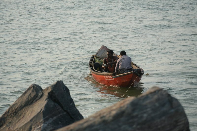
The Mobile Bay Jubilee
This is the thing reference pages mention in a sentence and never explain. A jubilee is when crabs, shrimp, flounder, eels, and other bottom-dwellers suddenly crowd the shallows along the eastern shore in such numbers that people wade out with buckets, gigs, and flashlights and simply scoop them up.
It happens because of oxygen. On certain summer mornings, a layer of oxygen-poor bottom water gets pushed toward the eastern shore by a specific combination of a gentle east wind, a rising tide, calm water, and an overcast night. The sea creatures flee the low-oxygen water by swimming up and toward shore, where they pile into the shallows half-stunned and easy to catch.
Mobile Bay is one of only a couple of places on Earth where this happens with any regularity — the upper Chesapeake region in Japan’s Tokyo Bay area gets something similar, but the Eastern Shore of Mobile Bay is the textbook example, documented here since the 1860s. Word spreads fast when one starts; the cry of “Jubilee!” still goes up at 4 a.m. in towns like Daphne and Fairhope. You can read the science behind the phenomenon from NOAA’s National Ocean Service.
If you want to witness one, summer (June through September) is the season, the eastern shore is the place, and patience is the requirement. They don’t run on a schedule.
Fishing and Boating
Across all five bays, the headline catches are speckled trout, redfish (red drum), and flounder, with sheepshead around structure and bull reds in the deeper passes. The shallow, grassy edges of Wolf Bay and Bon Secour reward sight-casting; the open expanse of Mobile Bay and the passes near Fort Morgan and Dauphin Island hold bigger fish and bigger boats.
Public launches are easy to find — the causeway on the north end of Mobile Bay, several ramps along the eastern shore, and launches near Orange Beach and Gulf Shores for the southern bays. Alabama requires a saltwater fishing license for anyone 16 and older; you can buy one online through the Alabama Department of Conservation and Natural Resources. Watch the weather: that 10-foot average depth means Mobile Bay builds a short, nasty chop in a hurry when the wind turns.
The Battle of Mobile Bay
The bay’s most famous day came on August 5, 1864. Union Admiral David Farragut sailed his fleet straight into the mouth of Mobile Bay, past the guns of Fort Morgan and through a field of Confederate “torpedoes” (what we’d now call naval mines). When one of his ironclads, the USS Tecumseh, struck a mine and sank, the advance stalled — and Farragut gave the order history remembers, usually shortened to “Damn the torpedoes, full speed ahead.”
The Union won the bay, choking off one of the Confederacy’s last open Gulf ports. Today you can walk the brick ramparts of Fort Morgan at the bay’s mouth, where the cannon emplacements still face the water Farragut crossed. It’s a short drive from Gulf Shores and pairs naturally with a ferry ride to Dauphin Island, putting the whole geography of the battle in front of you in an afternoon.
FAQ
How many bays are in the Mobile area? Five worth naming: Mobile Bay (the main estuary), plus Bon Secour Bay, Weeks Bay, Wolf Bay, and Perdido Bay. Bon Secour and Weeks feed into or off of Mobile Bay; Wolf and Perdido sit nearby to the southeast.
Is Mobile Bay saltwater or freshwater? Brackish. It’s an estuary where river freshwater mixes with Gulf saltwater, which is exactly what makes it so productive for fish and birds.
How deep is Mobile Bay? Naturally shallow — roughly 10 feet on average — with deeper dredged shipping channels cut through the middle for the Port of Mobile.
What is a Mobile Bay jubilee? A summer event where low-oxygen bottom water drives crabs, shrimp, flounder, and other sea life into the shallows of the eastern shore, where they can be caught by hand. It needs a specific mix of east wind, calm water, rising tide, and an overcast morning.
Which bay is best for kayaking and wildlife? Weeks Bay, hands down — it’s small, protected as a research reserve, and laced with boardwalks and birding trails. Wolf Bay is a good second for clean, quiet paddling.
Can you visit where the Battle of Mobile Bay happened? Yes. Fort Morgan, at the eastern side of the bay’s mouth near Gulf Shores, is preserved and open to visitors, with the original ramparts overlooking the water Farragut sailed through in 1864.