Table of Contents
- TLDR
- Why Fiji Barely Has Any Lakes
- Lake Tagimoucia: Fiji’s Only Natural Lake
- The Legend Behind the Flower
- Hiking to the Crater
- When to Go and What to Expect
- Monasavu Dam: Fiji’s Biggest Reservoir
- Vaturu Reservoir: The Other Working Lake
- Quick Comparison
TLDR
Fiji has one natural lake worth the name: Lake Tagimoucia, a crater lake near the summit of Taveuni Island, sitting at roughly 823 meters and reachable only by guided hike. Beyond that, the country’s “lakes” are working reservoirs — Monasavu Dam on Viti Levu, which generates most of the country’s hydroelectric power, and Vaturu Reservoir, which supplies drinking water to Nadi and Lautoka. None of them are swimming holes. All three are worth knowing about if you’re the kind of traveler who wants the full picture of a place, not just the postcard version.
Why Fiji Barely Has Any Lakes
Fiji is a volcanic archipelago, and volcanic islands are bad at holding onto fresh water on the surface. The rock is young, porous, and steep — rain either runs straight down to the sea in fast rivers or soaks into the ground before it can pool. There’s no glacial scouring, no flat river deltas, none of the geological conditions that build the big natural lakes you’d find on a continent. What Fiji does have is a network of short, steep rivers, and one genuine exception carved into the top of an extinct volcano.
That’s the reason the literal search “lakes in Fiji” turns up so little. Most travel guides skip the topic entirely because there’s almost nothing to write about — until you look at Taveuni.
Lake Tagimoucia: Fiji’s Only Natural Lake
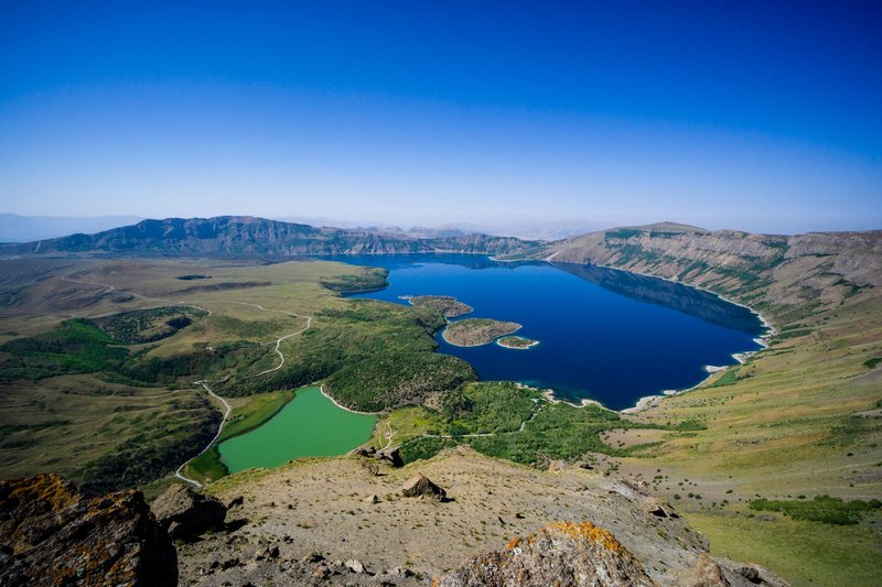
Lake Tagimoucia sits inside the crater of a long-dormant volcano near the top of Taveuni, Fiji’s third-largest island and one of the youngest, geologically speaking, in the country. At an elevation of around 823 meters, close to Des Voeux Peak — the second-highest point in Fiji — it’s genuinely rare among South Pacific islands: a permanent body of fresh water held inside a volcanic crater, rather than a seasonal pond that dries up between rains.
The lake itself is often wrapped in cloud. Taveuni gets some of the highest rainfall in Fiji, and the crater sits high enough that mist rolls through for a good part of the day, which is part of why so few photos of it look the same. You go for the lake, but you stay for the reason it’s famous: the flower that grows nowhere else on earth except its shores.
The Legend Behind the Flower
The Tagimoucia flower — clusters of white and red blooms, Fiji’s unofficial national flower — grows wild only around the crater rim of this one lake. It’s listed as vulnerable, and its entire natural range is a single mountaintop, which makes it one of the more precariously located endemic plants documented by the IUCN Red List.
Local legend explains the shape and color of the flower differently depending on who’s telling it, but the common thread is a young woman who fled into the highlands after a broken engagement or a family dispute, wept at the lake’s edge, and left the flower behind as a mark of her tears — the white petals for purity, the red for the grief. Guides on Taveuni tell versions of this story on the hike up, and it’s worth asking for it rather than reading it off a plaque, because it changes slightly from village to village.
Hiking to the Crater
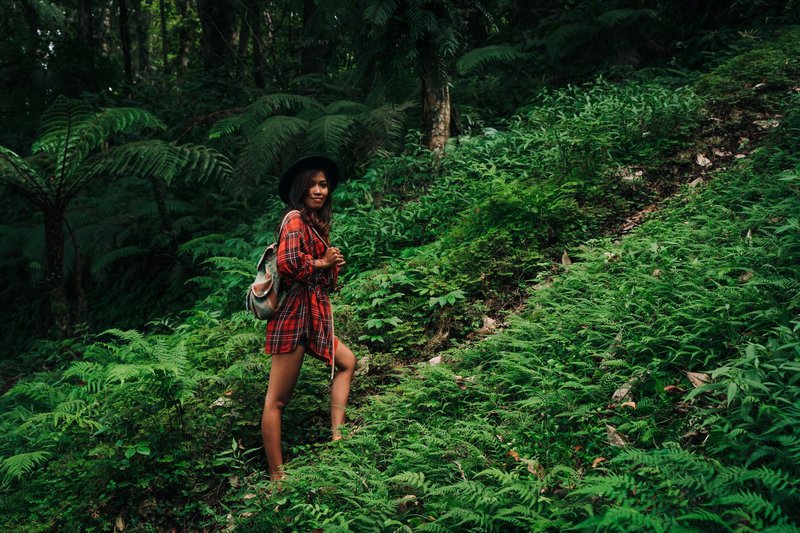
There’s no road to the lake. Getting there means a guided trek, usually arranged through Vidawa Village as part of the wider Bouma National Heritage Park trail network, or via a rougher 4WD-and-hike combination from the cross-island track near Waiyevo. Either way, you need a local guide — the land is customarily owned, and villages control access, so this isn’t a solo-hiker trail you stumble onto.
Expect several hours of steep, muddy walking through dense rainforest, with the final stretch to the crater rim being the steepest part. It’s not a casual half-day stroll; pack for rain regardless of forecast, wear shoes you don’t mind ruining, and budget the better part of a full day once you factor in transport to the trailhead.
When to Go and What to Expect
Taveuni’s dry season, roughly May through October, is the best window — trails are less slippery and the crater is more likely to be visible rather than fogged in. The Tagimoucia flower blooms during the cooler months within that stretch, so if seeing it in bloom matters to you, ask your guide or village contact ahead of time rather than assuming; flowering windows shift year to year with rainfall.
Set expectations before you go: this is a hike for the story and the rarity of the place, not a beach-clear lagoon. The water is often churned by mist and low light, and the reward is standing somewhere almost nobody else has.
Monasavu Dam: Fiji’s Biggest Reservoir
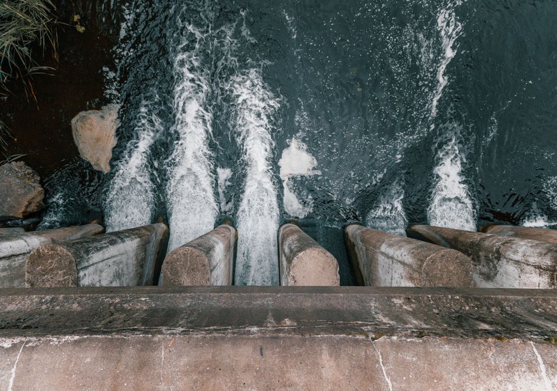
Head to the central highlands of Viti Levu, Fiji’s main island, and you’ll find the country’s largest body of fresh water — but this one was built, not formed. Monasavu Dam impounds a reservoir that powers the Monasavu Hydroelectric Scheme, the backbone of electricity generation for the Suva–Nadi–Lautoka corridor since it came online in the early 1980s. Before Monasavu, Fiji ran largely on imported diesel for power; the scheme cut that dependence dramatically and still supplies a majority of the country’s electricity in wet years.
This isn’t a tourist lake. It sits deep in the interior highlands near Nadarivatu, reached by rough unpaved roads, and it’s operational infrastructure managed by Fiji’s national utility — access for casual visitors is limited, and there’s no established path for swimming or boating. If you’re drawn to it, it’s for the engineering story and the drive through Fiji’s mountainous interior, which most visitors never see, rather than for a lakeside afternoon.
Vaturu Reservoir: The Other Working Lake
The second man-made lake worth knowing sits closer to where most travelers actually stay. Vaturu Reservoir, in the hills above Nadi, is the primary source of drinking water for the Nadi and Lautoka area, built and managed as part of Fiji’s municipal water system. It’s more accessible than Monasavu simply by geography — it’s a shorter drive from the tourist corridor around Nadi — but it functions the same way: as working infrastructure, not a recreation site. Because it feeds the drinking water supply, swimming and boating are discouraged for the same reason you wouldn’t swim in a reservoir anywhere else in the world.
Some visitors pass near it on 4WD tours through the Sabeto highlands, often paired with the Sabeto mud pools or hot springs, but it’s a drive-by landmark rather than a destination in its own right.
Quick Comparison
| Site | Type | Location | Access | Best time |
|---|---|---|---|---|
| Lake Tagimoucia | Natural crater lake | Taveuni, ~823m elevation | Guided hike only, via Vidawa Village or Bouma National Heritage Park | May–October (dry season) |
| Monasavu Dam | Hydroelectric reservoir | Central highlands, Viti Levu | Restricted access, 4WD via Nadarivatu | Year-round, roads worst in wet season |
| Vaturu Reservoir | Municipal water reservoir | Hills above Nadi, Viti Levu | Drive-by via Sabeto highlands roads | Year-round |
Fiji was never going to compete with lake-heavy countries on volume, and that’s fine — it’s an ocean nation, and everyone already knows it. What it does have is one legitimately strange, high-altitude crater lake with its own endangered flower and its own legend, plus two reservoirs that quietly keep the lights on and the taps running for everyone visiting the reefs you actually came for.