Table of Contents
- TL;DR: The Border Towns at a Glance
- Where the Line Between Kentucky and Ohio Actually Runs
- Every Kentucky-Ohio Border Town, West to East
- Why the Boundary Sits on the Ohio Bank, Not Mid-River
- Life on Each Side: Alcohol, Gambling, and Taxes
- Crossing the River: Bridges, Ferries, and the Commute
- Living Near the Kentucky-Ohio Border
- Quick Answers
Most people picture “the Kentucky-Ohio border” as one line on a map. It’s actually a chain of small river cities, some barely a quarter mile apart, that have spent two centuries staring at each other across the water and doing things differently on purpose. One side sells hard liquor in a state-run system. The other decides county by county whether to sell it at all. One side taxes your paycheck twice — state and city. The other doesn’t.
TL;DR: The Border Towns at a Glance
| Ohio Side | Kentucky Side | Connected By | Known For |
|---|---|---|---|
| Cincinnati | Covington & Newport | Roebling Suspension Bridge, Brent Spence Bridge, Purple People Bridge | Twin-city skyline, breweries, riverfront parks |
| Aberdeen | Maysville | William H. Harsha Bridge (US 62/68) | Historic tobacco port, antebellum warehouses |
| Ripley | Rural Mason & Lewis County | No direct bridge | Underground Railroad crossing point |
| Portsmouth | South Shore / Wheelersburg area | US 23 bridge | Floodwall murals, Scioto River confluence |
| Ironton & Coal Grove | Ashland & Russell | Ironton-Russell Bridge | Iron-industry history, tri-state edge |
| Chesapeake & South Point | Catlettsburg | Bridges toward Huntington, WV | Big Sandy River mouth, Ohio-Kentucky-West Virginia tripoint |
That’s the skeleton. The rest of this guide fills in why the line runs where it does, what actually changes when you cross it, and which of these towns are worth a detour.
Where the Line Between Kentucky and Ohio Actually Runs
The Ohio River is the boundary for several hundred miles of Ohio’s southern edge, and Kentucky sits on the other bank the entire way. That arrangement dates back to Virginia’s original land claims, before Kentucky was even a state — Virginia’s 1792 charter language became the template for where the line got drawn, and it’s the reason the border isn’t down the middle of the channel the way you’d expect a river boundary to work.
The practical result: when Ohio became a free state under the Northwest Ordinance and Kentucky remained a slaveholding state, this river wasn’t a neutral strip of water. It was the actual edge of freedom, and the towns built along it grew up around that fact.
Every Kentucky-Ohio Border Town, West to East
Here’s the real list, organized the way you’d actually encounter these places if you drove the river road from Cincinnati toward the West Virginia line.
The Cincinnati Cluster: Covington, Newport, and the River Towns Around Them
Covington sits directly across from downtown Cincinnati, close enough that the Roebling Suspension Bridge — built in 1866 by John A. Roebling as a working prototype for what became the Brooklyn Bridge — still carries commuter traffic between the two. Mainstrasse Village, Covington’s old German neighborhood, has the kind of brick rowhouses and beer-hall history you’d expect from a 19th-century river port.
Newport, just east of Covington, leans into a different identity: the Newport Aquarium, a restaurant-and-bar strip along the riverfront, and the Purple People Bridge, a former L&N railroad bridge converted into a pedestrian crossing that’s now the easiest way to walk between the two states without a car.
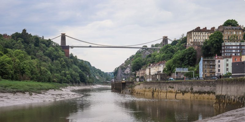
Smaller river towns fill in the gaps — Bellevue and Dayton, Kentucky, keep their Victorian-era housing stock largely intact, and Ludlow sits just west of Covington along the same bluff line. Together they make Cincinnati one of the few American metro areas where the urban core genuinely straddles a state line, not just a suburb or two.
Augusta and Maysville: Kentucky’s Historic Ports
Head downriver and the towns get smaller and older. Augusta, Kentucky, still runs a car ferry across the Ohio — one of the last of its kind still operating on the river, carrying a handful of vehicles at a time when the water and weather cooperate.
Maysville built its identity on tobacco. The warehouses along its riverfront once processed and shipped burley leaf grown across the surrounding hills, and the antebellum architecture downtown reflects the money that trade brought in. It’s connected to Aberdeen, Ohio, on the opposite bank by the William H. Harsha Bridge, carrying US 62/68 traffic across.
Ripley and the Underground Railroad Corridor
Ripley, Ohio, has no matching town directly across the water — just rural Mason and Lewis County farmland on the Kentucky side — and that emptiness is part of the history. The John Rankin House sits on a hill above town, its lamp reportedly visible from the Kentucky shore, and it served as a documented stop for people escaping enslavement across the river. The National Park Service’s Network to Freedom program recognizes Ripley as one of the most significant Underground Railroad crossing points on the entire Ohio River, alongside the John P. Parker House downtown.
Portsmouth and the Scioto Confluence
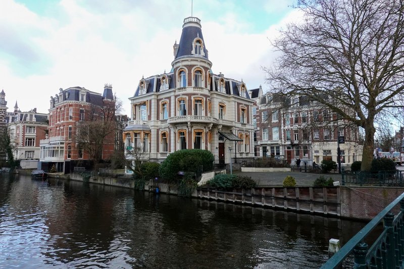
Portsmouth sits where the Scioto River empties into the Ohio, which made it a natural transportation hub going back to the canal era. Its floodwall, built to hold back the kind of flooding that has repeatedly reshaped river towns along this stretch, is covered in a long series of murals depicting local history — worth a walk even if you’re just passing through. Across the river, the Kentucky side is more rural, centered on the South Shore and Wheelersburg area in Greenup County.
Ashland, Ironton, and the Tri-State Edge
By the time you reach Ashland, Kentucky, you’re close enough to West Virginia that the region gets called the tri-state area without irony. Ashland grew up around oil refining and steel, and it’s large enough to function as a regional hub rather than a river-crossing footnote. Ironton, Ohio, directly across the water, takes its name from the iron furnaces that once dotted the surrounding hills — historians call the area the Hanging Rock Iron Region for exactly that reason. The Ironton-Russell Bridge links the two.
Further along, Catlettsburg, Kentucky, sits right at the mouth of the Big Sandy River, which forms the Kentucky-West Virginia line. It boomed as an oil town in the early 1900s, and it’s about as close as this list gets to the point where Ohio, Kentucky, and West Virginia all meet.
Why the Boundary Sits on the Ohio Bank, Not Mid-River
Most river boundaries in the US split the channel down the middle. This one doesn’t. Kentucky’s border extends all the way to the low-water mark on the Ohio side, as that mark stood back in 1792 — meaning Kentucky, not Ohio, owns the riverbed itself.
This isn’t folk trivia. The Supreme Court has settled it more than once, most notably in Ohio v. Kentucky, 444 U.S. 335 (1980), which reaffirmed the historic low-water-mark line after a dispute over which state had regulatory authority over the water. The ruling traces back to Virginia’s original western land grants, since Kentucky was carved out of Virginia territory in 1792, and it means Ohio’s actual jurisdiction stops at the waterline rather than the mid-channel most people assume.
It’s a strange bit of trivia with real consequences: a boat capsizing in the middle of the river, legally speaking, is capsizing in Kentucky.
Life on Each Side: Alcohol, Gambling, and Taxes
Cross the bridge and the rules change immediately, even though nothing about the landscape does.
| Category | Ohio Side | Kentucky Side |
|---|---|---|
| Alcohol sales | State-controlled system for hard liquor, sold through licensed agency stores | Local option by county — some counties are fully “wet,” others remain dry or “moist,” a patchwork left over from Prohibition-era repeal votes |
| Casino gambling | Licensed casinos and racinos, approved by statewide vote in 2009 | No commercial casinos; historical horse racing (HHR) machines at tracks like Turfway Park in Florence function as a legal workaround |
| Income tax | State income tax plus, in most cities, a separate municipal income tax on top of it | Flat state income tax rate, with many cities layering on a local occupational license fee instead |
| Legal age for alcohol and gambling | 21 | 21 |
The tax difference is the one people actually feel. Live and work in Cincinnati and you’re paying both the state of Ohio and the city of Cincinnati out of every paycheck. Cross into Covington or Newport and the math looks different, which is a real reason some Cincinnati-area workers choose to live on the Kentucky side of the river.
Crossing the River: Bridges, Ferries, and the Commute
The Brent Spence Bridge carries both I-75 and I-71 traffic between Cincinnati and Covington, and it has carried far more traffic than it was ever designed for — a bottleneck significant enough that it became the subject of a major federally funded companion-bridge project. The Roebling Suspension Bridge, its much older neighbor, still handles local traffic and foot crossings just downstream.
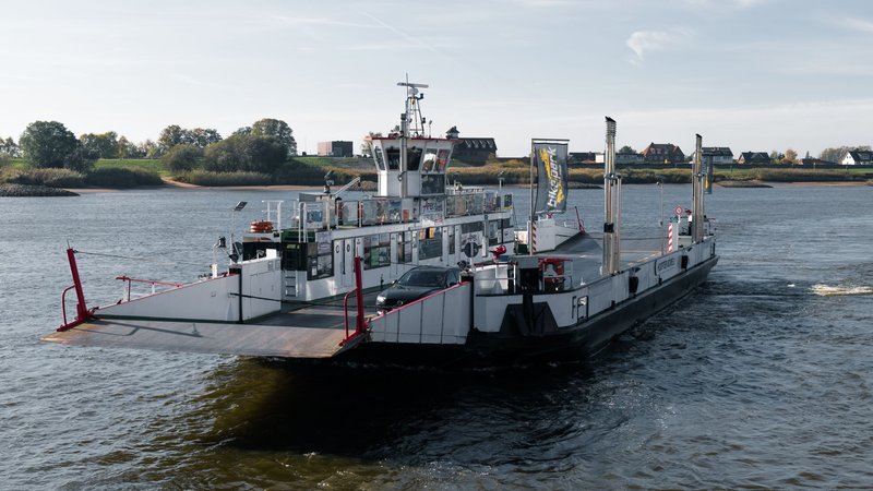
Further out, crossings get sparser and more improvised. The Augusta-Dover ferry near Augusta, Kentucky, is genuinely one of the few working car ferries left on the Ohio River, a reminder that not every border town got a bridge. Between Maysville and Portsmouth, drivers sometimes cover forty-plus miles of riverbank without a single crossing, which tells you something about how rural this stretch actually is compared to the Cincinnati end.
Living Near the Kentucky-Ohio Border
For people actually weighing a move rather than just passing through, the border towns function less like a state line and more like neighborhoods that happen to have different governments. Commuters cross daily on I-75/71 for jobs in downtown Cincinnati while living in Covington, Newport, or Fort Thomas, and healthcare systems like St. Elizabeth Healthcare operate facilities on both banks without much regard for which state a patient lives in.
What actually differs comes down to the practical stuff: property tax rates, whether your city stacks a municipal income tax on top of the state one, and which county’s alcohol laws apply to the restaurant down the street. None of it shows up on a map. All of it shows up on a pay stub or a grocery receipt.
Quick Answers
Is Cincinnati a Kentucky-Ohio border city? Cincinnati proper sits entirely in Ohio, but its metro area is genuinely bi-state — Covington and Newport, Kentucky, function as extensions of the same urban core rather than separate satellite cities.
Can you walk between Ohio and Kentucky? Yes. The Purple People Bridge in the Cincinnati-Newport area is a dedicated pedestrian crossing, and several other bridges along the river include sidewalks.
Which state actually owns the Ohio River? Kentucky does, up to the low-water mark on the Ohio shore — a boundary set by Virginia’s original 1792 land grants and reaffirmed by the Supreme Court in 1980. It’s the detail that makes these Kentucky-Ohio border towns more legally lopsided than most people realize, even standing on the Ohio side looking south.