
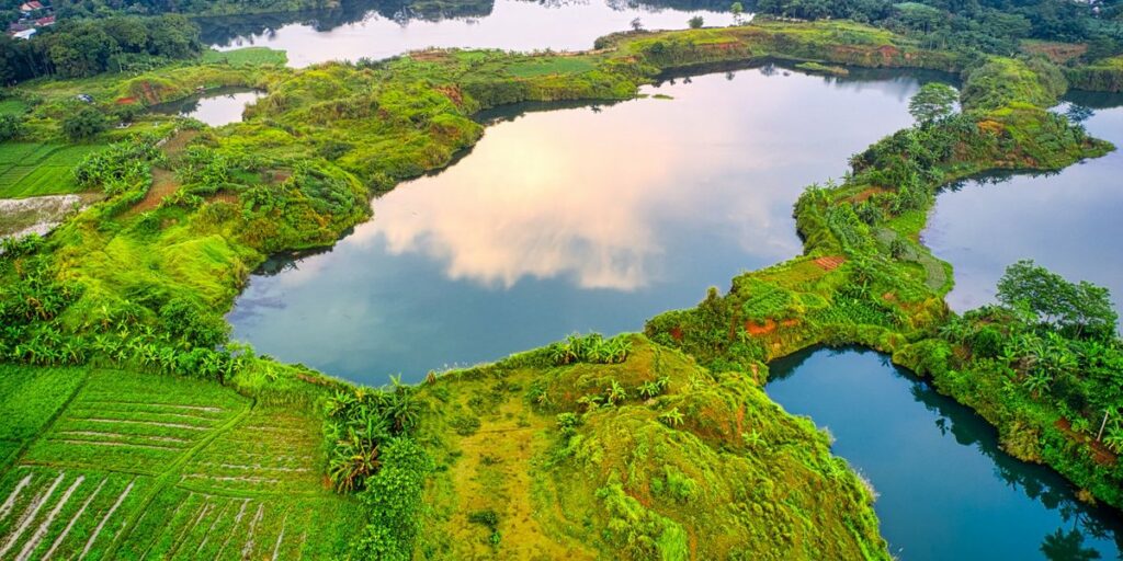
Most write-ups on Haiti’s lakes cover one at a time, or treat them as a footnote to the Dominican Republic’s Lake Enriquillo next door. That’s backwards. Haiti has four lakes worth knowing about, and one of them is doing something scientists still can’t fully explain: swallowing farmland, roads, and entire neighborhoods, year after year, with no end in sight.
This is the full picture — what each lake actually is, how they compare, and what’s going on with the one that won’t stop rising.
Table of Contents
- Quick Comparison
- Lake Azuei (Étang Saumâtre)
- Lake Miragoâne
- Trou Caïman
- Bassin Zim
- Why Is Lake Azuei Rising?
- Visiting Haiti’s Lakes: What to Know
Quick Comparison {#quick-comparison}
| Lake | Water Type | Size | Max Depth | Location |
|---|---|---|---|---|
| Lake Azuei (Étang Saumâtre) | Brackish | ~170 km² (66 sq mi) | ~30 m (98 ft) | ~22 km (14 mi) east of Port-au-Prince, on the DR border |
| Lake Miragoâne | Freshwater | ~25 km² (9.7 sq mi) | Shallow, marshy fringes | ~100 km (62 mi) west of Port-au-Prince, Nippes department |
| Trou Caïman | Saltwater | ~16 km² (6.2 sq mi) | Shallow | ~30 km (19 mi) northeast of Port-au-Prince, Cul-de-Sac plain |
| Bassin Zim | Freshwater spring/waterfall | Small basin, not a true lake | A few meters | ~195 km (120 mi) northeast of Port-au-Prince, near Hinche |
Lake Azuei is the country’s largest by a wide margin, and it’s the one most people are actually searching for when they type “largest lake in Haiti.” Everything else on this list plays a supporting role.
Lake Azuei (Étang Saumâtre) {#lake-azuei}
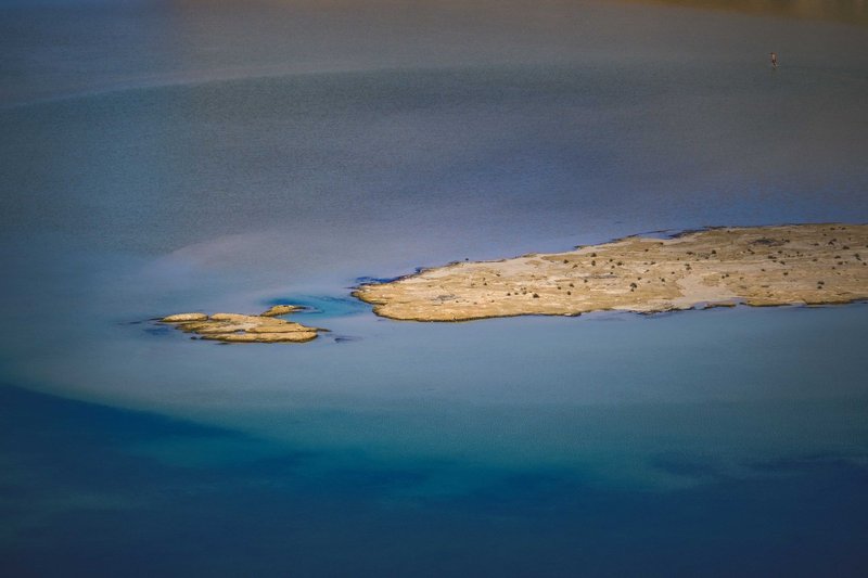
Lake Azuei sits on the Plaine du Cul-de-Sac, close enough to the Dominican border that its eastern shore effectively touches the DR’s Lake Enriquillo, three kilometers away as the crow flies. The two lakes used to be connected in prehistoric times, back when the whole valley was a marine channel. That geology explains why both lakes are brackish instead of fresh — they’re sitting in what was once seabed, and there’s still salt locked into the basin.
Despite the name, Azuei isn’t overwhelmingly salty. Its water is genuinely brackish, azure-tinted, and mineral-rich enough to support American flamingos and a resident population of American crocodiles, a species the IUCN Red List classifies as vulnerable. Over a hundred waterfowl species pass through, which makes the lake a working birding destination even though almost nobody markets it that way.
The lake’s Taíno name was Yainagua, and pre-Columbian settlements ringed its shores long before French colonizers arrived. Today the surrounding communities — Fond Parisien, Ganthier — are agricultural towns that have watched their fields disappear under rising water over the past two decades, which we’ll get into below.
Lake Miragoâne {#lake-miragoane}
Miragoâne is Haiti’s largest natural freshwater lake, and it sits in a different world from Azuei entirely — on the southern peninsula, in the Nippes department, ringed by the town that shares its name. Where Azuei is brackish and expanding, Miragoâne is fresh, stable, and biologically strange in a specific way: it’s a hotspot for the livebearing fish genus Limia, with nine described species found in and around the lake, several of them found nowhere else on Earth.
That matters more than it sounds like it should. A freshwater lake this size, this isolated, with this much endemic fish diversity, is a genuine research site — not just scenery. Snowy egrets, yellow-crowned night herons, and West Indian whistling ducks work the shoreline, and local fishing communities have worked the lake itself for generations, mostly for tilapia and native cichlids.
Miragoâne town itself is a working port and market center, not a resort, so visiting the lake means visiting a functioning Haitian town first — which is either the appeal or the deterrent, depending on what you came for.
Trou Caïman {#trou-caiman}
Trou Caïman is the lake most people confuse with Azuei, because it sits in the same general plain and shares the saltwater chemistry. It’s smaller — about 9 km long and 3 km wide — and less studied, but it draws a dedicated following among birders for the same reason Azuei does: a shallow, undisturbed saltwater basin is exactly what wading birds want.
There’s no real tourism infrastructure around Trou Caïman. What you’ll find is agricultural land, small fishing operations, and a lake that functions the way it always has, without a visitor center or a gift shop. That’s either a selling point or a logistics problem depending on how you like to travel.
Bassin Zim {#bassin-zim}
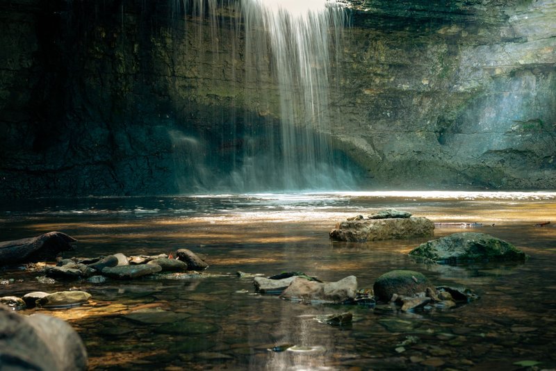
Bassin Zim isn’t technically a lake — it’s a spring-fed basin at the foot of a waterfall, near Hinche in the Centre department, roughly three and a half hours from Port-au-Prince on roads that get progressively worse the closer you get. It earns a spot on this list because it’s what most search results already lump in with Haiti’s other lakes, and because it’s the most visually dramatic body of water in the country.
Water fans out over a limestone cliff into a chain of turquoise pools, with a network of grottoes behind the falls that locals will tell you were used by the Taíno before the Spanish arrived — cave art is still visible if you bring a light. The basin is swimmable, cold, and genuinely clear in a way that the Cul-de-Sac plain’s brackish lakes aren’t.
A 4×4 is the honest recommendation for the last stretch of road. A moto taxi from Hinche works too, and is what most budget travelers actually use.
Why Is Lake Azuei Rising? {#why-rising}
Here’s the part that turns this from a geography list into an actual mystery. Since the early 2000s, Lake Azuei has been rising — not seasonally, not in a normal flood-and-recede pattern, but persistently, year over year, in a way that has already submerged roads, farmland, and homes along its shore. Its neighbor across the border, Lake Enriquillo, has done the same thing, rising even more dramatically while sitting in a basin that’s already below sea level.
That’s backwards from what climate change is supposed to do to inland water bodies in the tropics. Rising seas, shrinking lakes — that’s the expected pattern almost everywhere else. Instead, two lakes in one of the driest corners of the Caribbean kept climbing while nearby reservoirs and rivers didn’t show the same trend, which is exactly the kind of anomaly that gets a lake written up by National Geographic as an unsolved case.
Researchers have floated a few competing explanations: shifting rainfall patterns tied to hurricane activity and tropical storms dumping more water into the watershed than it used to absorb, changes in groundwater and aquifer behavior beneath the Cul-de-Sac plain, and deforestation upstream altering how quickly runoff reaches the lake instead of soaking into the ground. NASA’s Earth Observatory has tracked the expansion using satellite imagery, and even with that vantage point, no single cause has been confirmed. It’s likely some combination of all three, compounded by a watershed that simply can’t drain the way it used to.
The human cost is the part that doesn’t make it into most geography write-ups. Villages that sat comfortably above the waterline a generation ago are now partially underwater. Families have been displaced on both sides of the border, farmland has gone saline and unusable, and roads connecting communities around the lake have had to be rerouted or abandoned. This isn’t a slow-motion curiosity for the people living on Azuei’s shore — it’s an ongoing housing crisis with no fix in sight, because nobody has identified what to actually stop.
Visiting Haiti’s Lakes: What to Know {#visiting}
Haiti’s security and travel-advisory situation changes often enough that any specific claim here has a short shelf life — check current guidance before planning anything. With that caveat, a few practical notes that hold up regardless of the news cycle:
- Lake Azuei is the most accessible of the four, reachable by road from Port-au-Prince in under an hour when conditions allow, and it’s the best bet for birders given the flamingo and waterfowl populations.
- Bassin Zim requires the most planning — it’s remote, the road is rough, and a guide or driver familiar with the Hinche area makes the trip considerably easier.
- Lake Miragoâne and Trou Caïman see almost no foreign tourism, which means no marked trails, no rental gear, and no English-speaking guides waiting at the entrance. Go with a local contact or not at all.
- None of these lakes have lifeguards, marked swimming areas, or posted safety information. Bassin Zim’s pools are the most swim-friendly; the Cul-de-Sac lakes are working ecosystems, not beaches.
Haiti’s lakes don’t get the coverage its beaches or mountains do, and most of what’s written about them treats each one in isolation. Put them side by side and a more interesting country shows up — one with a Caribbean-scale freshwater fish hotspot, a working saltwater bird sanctuary, a waterfall carved by the same limestone that built the whole region, and a slow-motion natural event that’s still, genuinely, unexplained.