Table of Contents
- TLDR
- 1. Baidoa
- 2. Bilis Qooqaani
- 3. Mogadishu
- 4. Beledweyne
- 5. Kismayo
- 6. Buhoodle
- 7. Burco
- 8. Garowe
- Why the Same Regions Keep Showing Up
TLDR
Somalia’s poorest cities cluster in three regions the World Bank has flagged repeatedly in its household surveys: Bay, Gedo, and the Jubba valleys. In order of severity: Baidoa, Bilis Qooqaani, Mogadishu (its displacement-camp periphery, not the city center), Beledweyne, Kismayo, Buhoodle, Burco, and Garowe. The common threads are drought-collapsed farming, river flooding, decades of conflict disruption, and — for the smaller towns — total absence of state investment.
Somalia’s poverty story doesn’t split evenly across the map. It concentrates in specific places, and once you know why, the pattern stops looking random.
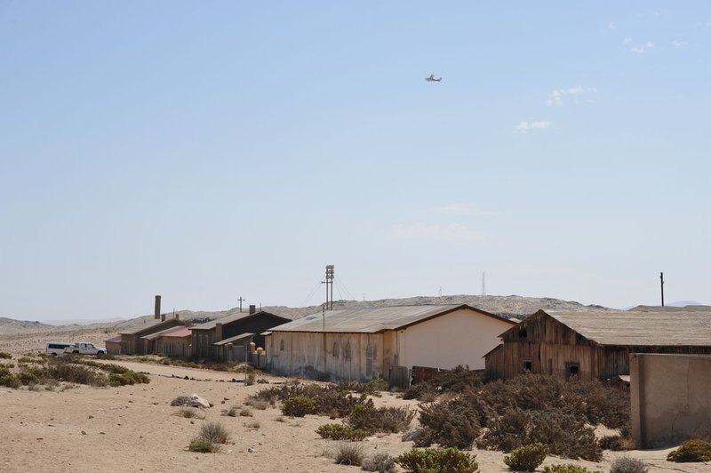
The World Bank’s household surveys keep landing on the same regions — Gedo, Lower Jubba, Bakool, Middle Jubba, and Bay — as the hardest-off in the country, with over 70% of rural households there living below the poverty line. What follows maps that regional data onto the actual cities and towns living it, using drought and food-security reporting to fill in what a national poverty rate can’t tell you: which specific market square, which specific river, which specific supply line broke.
1. Baidoa
Baidoa is the capital of Bay region, and Bay region is the one the World Bank keeps naming as Somalia’s worst for poverty. That’s not a coincidence of geography — it’s what happens when a farming town becomes the default destination for everyone displaced from the villages around it.
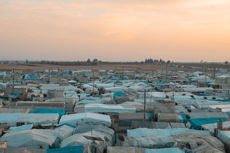
The city’s population on paper is somewhere around 150,000. The number that actually matters is the displaced population camped on its edges, which at various points since the 2011 famine has outnumbered the original town. Families arrive after a failed harvest, set up in a settlement with a name and a water point, and never generate enough income to leave. Baidoa didn’t get poor by losing jobs. It got poor by becoming the place people run to when the rain doesn’t come, decade after decade.
2. Bilis Qooqaani
Bilis Qooqaani sits in Gedo region, right near the Kenyan border, and it’s the kind of place that shows up on almost no map most travelers will ever open. That obscurity is itself the story — Gedo is one of the five regions the World Bank singles out as poorest in the country, and towns this size get none of the aid infrastructure that a regional capital like Baidoa at least partially attracts.
There’s no meaningful cash economy here beyond subsistence herding and small cross-border trade with Kenya. When FEWS NET’s food security monitoring flags Gedo as facing crisis-level food insecurity, towns like Bilis Qooqaani are what that classification actually looks like on the ground: households skipping meals, livestock dying before they can be sold, and no local market with enough volume to cushion a bad season.
3. Mogadishu
Mogadishu breaks the pattern in an important way: the city itself has a functioning economy. Bakara Market moves real money, telecom and money-transfer businesses have rebuilt since the worst of the civil war years, and there’s a visible middle class in parts of the capital.
The poverty is concentrated at the edges — in the informal settlements that ring the city, filled with people displaced from Bay, Gedo, and the Shabelle regions who came to the capital because it at least has aid agencies and a functioning port. Overcrowding in these settlements creates its own compounding problems: no formal land tenure, minimal sanitation infrastructure, and exposure to the security incidents that still hit the city with grim regularity. Reporting on Mogadishu’s poverty consistently finds that the gap between the functioning city center and the displacement periphery is the real fault line, more than any citywide average would suggest.

4. Beledweyne
Beledweyne sits on the Shabelle River in Hiran region, and the river is both the reason the town exists and the reason it keeps losing everything. This is Somalia’s most flood-prone city — the Shabelle breaks its banks with enough regularity that “the year of the big flood” is a real way locals date events, the same way other places reference a war or an election.
Farmers here rebuild the same fields after every flood cycle, because subsistence agriculture along the river is still the only livelihood most households have. Each flood wipes out stored grain, drowns livestock, and often destroys the mud-brick housing that’s cheapest to rebuild and first to go. The town recovers just enough between floods to never get ahead of the next one.
5. Kismayo
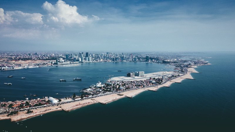
Kismayo is Lower Jubba’s regional capital and a natural port city — the kind of location that should be an economic asset. For much of the last two decades it’s instead been a contested prize, changing hands between government forces, Al-Shabaab, and Jubaland’s regional administration, with each transition disrupting whatever trade had rebuilt in the meantime.
The agricultural land around Kismayo, fed by the Jubba River, used to support a real export economy in bananas and other crops before decades of conflict fragmented the supply chains that got produce to market. What’s left is an informal port economy — charcoal, livestock, some fishing — that generates income but not the kind of stable tax base or infrastructure investment a functioning port city usually builds. Lower Jubba shows up next to Gedo and Bay in every World Bank poverty ranking, and Kismayo’s instability is a big part of why.
6. Buhoodle
Buhoodle is a pastoralist town caught in a political no-man’s-land: both Somaliland and Puntland claim the surrounding Sool and Cayn territory, and that unresolved status means neither administration has strong incentive to invest in it. No government wants to build infrastructure in a district it might lose in the next negotiation.
The result is a town almost entirely dependent on livestock herding in a region that droughts hit hard and often. When herds die off, there’s no secondary economy to fall back on and no clear administration responsible for drought response. Buhoodle is what poverty looks like when the problem isn’t conflict exactly, and isn’t drought exactly, but a jurisdictional limbo that leaves a place economically orphaned.
7. Burco
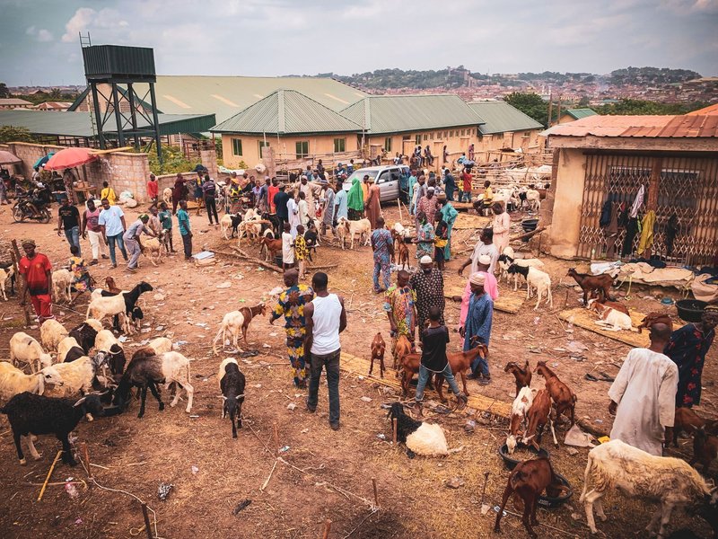
Burco is Somaliland’s second-largest city and historically one of the Horn of Africa’s major livestock trading hubs — camels, goats, and sheep moving through on their way to export markets in the Gulf. That trade is also Burco’s biggest vulnerability, because it depends entirely on Gulf states keeping their ports open to Somali livestock.
Saudi Arabia has imposed livestock import bans tied to disease outbreaks like Rift Valley fever more than once in the last twenty years, and each ban has hit Burco’s herder and trader economy directly, with no real substitute market able to absorb the same volume. A city built around a single export relationship is a city one foreign regulatory decision away from a bad year, and Burco has had several.
8. Garowe
Garowe rounds out this list mostly because Puntland’s relative political stability doesn’t extend evenly to its rural population. The capital itself has government buildings, some visible development, and a functioning local administration — genuinely better governance than several other entries here.
Step outside the city center into the surrounding Nugaal region, though, and you’re back to pastoralist communities exposed to the same recurring droughts hitting Sool and Bari. Puntland’s government has more institutional capacity than the federal government in Mogadishu does in places like Bay or Gedo, but capacity doesn’t rebuild a dead herd. Garowe’s poverty is quieter than Baidoa’s or Beledweyne’s, but the underlying vulnerability — one bad rainy season away from crisis — is the same story with better paperwork.
Why the Same Regions Keep Showing Up
Look at this list and a pattern jumps out fast: Bay, Gedo, and the Jubba regions dominate, exactly matching what the World Bank’s poverty data already flagged at the national level. That’s not a coincidence — it’s confirmation that regional poverty rates and lived conditions in specific cities line up.
What the regional data alone misses is the mechanism. Baidoa is poor because it absorbs everyone else’s displacement. Beledweyne is poor because a river keeps erasing its progress. Buhoodle is poor because no government will claim responsibility for it. Burco is poor because its entire economy rests on one export relationship. Same poverty rate, different root cause — and any real fix has to match the mechanism, not just the map.