Most “ghost towns in Quebec” pages are just link dumps: a Wikipedia list of 30 names with no context, or one long piece about Val-Jalbert because it’s the only one with a gift shop. Neither tells you what’s actually still standing at the other 29, or whether you’d get arrested for looking.
We went region by region instead. Eleven towns, four corners of the province, each one killed by a specific and different thing — a mill closing, a mine running dry, a hillside turning to soup overnight. Some you can walk through on a paved highway shoulder. Some are underwater. One is a cemetery you should probably leave alone.
Table of Contents
- Saguenay–Lac-Saint-Jean
- Côte-Nord
- Abitibi-Témiscamingue
- Outaouais & the Laurentian Foothills
- Before You Go: Access, Safety, and What’s Legal
Saguenay–Lac-Saint-Jean {#saguenay-lac-saint-jean}
1. Val-Jalbert
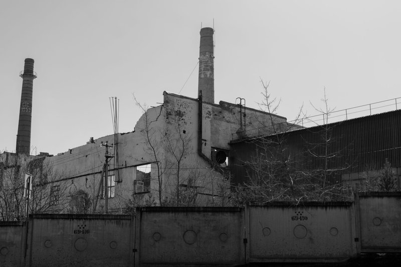
Val-Jalbert isn’t really a ghost town anymore — it’s a National Historic Site with a gift shop, a cable car, and a bed you can rent for the night in one of the restored houses. But it earns the title on volume alone: more than 70 original buildings still stand, which is why Parks Canada calls it one of the best-preserved deserted villages in the country.
Damase Jalbert built a pulp mill here in 1901 at the base of the Ouiatchouan Falls, using the drop for power. He died three years later, American investors took over, and the town they built up the hill had piped water and electricity before plenty of Quebec cities did. Then the pulp market cratered. The mill shut in 1927 and stayed shut. People just left — some houses were abandoned mid-renovation, tools still on the workbench.
The falls are the real draw now: taller than Niagara, with a glass-floored observation platform at the top that most visitors take one photo of and then can’t stop looking at their feet. Go in shoulder season if you can. In July the parking lot fills before 10 a.m.
2. Saint-Jean-Vianney
This one isn’t a ruin you tour — it’s a scar you’re asked to respect. On the night of May 4, 1971, a section of the town sat on a bed of Leda clay, the kind that looks solid until it doesn’t. Heavy rain after a spring thaw pushed it past its limit, and in about five minutes roughly nine million cubic yards of earth liquefied and slid downhill at close to 16 miles an hour, per the geological account published in the Canadian Geotechnical Journal. Forty homes went into the Rivière aux Vases. Thirty-one people didn’t get out.
The remaining residents were relocated to nearby Arvida, and the crater where the town used to be was never rebuilt on. The AGU Landslide Blog still cites it as one of the deadliest sensitive-clay slides on record, the kind of event geology textbooks use as the textbook case. There’s a memorial and a viewpoint over the slide zone. There isn’t much else, and that’s the point — this is a grave site with grass on it, not a photo op.
Côte-Nord {#cote-nord}
3. Gagnon
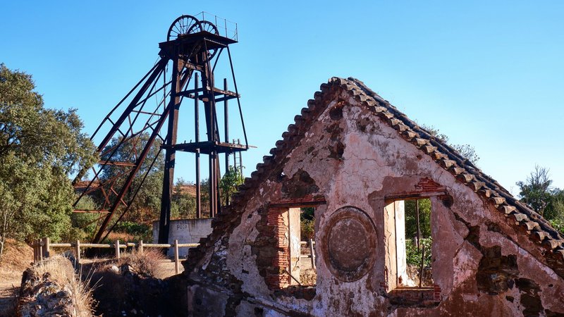
Gagnon might be the most Quebec ghost town story there is, because the government didn’t just abandon it — it erased it on purpose. Québec Cartier Mining built the town from nothing starting in 1957 to work the iron deposit at nearby Lac Jeannine, and by its peak it held more than 4,000 people, an airport, a hospital, an arena, all of it hundreds of kilometers from the next town on the map.
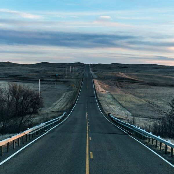
The 1982 steel crisis finished it. The mine wasn’t profitable, the company pulled out, and rather than leave empty buildings standing, the town was bulldozed flat in 1985. What’s left, according to Amusing Planet‘s account of the demolition, is the old main street — you can still make out the medians, the sidewalks, the sewer grates — now folded into a stretch of Route 389 that runs between Baie-Comeau and Fermont. You drive straight through what used to be downtown at highway speed and most people don’t notice.
4. Fire Lake
Fire Lake is 84 kilometers northeast of Gagnon, connected by a road the mining company had to build just to get there. Québec Cartier ran an open-pit operation here from 1971 to 1977, pulling around 54 million tonnes of iron ore and shipping the concentrate to Gagnon’s mill by rail. When Lac Jeannine’s mine ran dry, Fire Lake briefly kept the whole regional operation alive on its own.
Here’s the twist most ghost-town lists miss: Fire Lake isn’t fully dead. Operations paused for two decades, then ArcelorMittal restarted extraction in 2006 and went to year-round mining in 2012. The original 1970s settlement is gone or absorbed into active industrial land, which makes this one of the only entries on this list where the mine outlived the town that was built to serve it.
Abitibi-Témiscamingue {#abitibi-temiscamingue}
5. Joutel
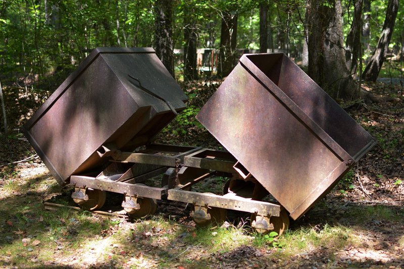
Joutel went up in 1965 to house workers for a cluster of gold, copper, and zinc mines north of Amos, and it’s named for a 17th-century French explorer rather than anyone who actually lived there. At its high point it had close to 100 homes, a hotel, a bank, a school, a health center — a real small town, just one built entirely around ore grades.
Four mines cycled through over three decades, the last a copper-zinc operation that closed in the mid-90s. Once the reserves stopped paying, there was no reason to keep the town, and in 1998 the houses were physically removed and the remaining structures leveled. Radio-Canada marked the anniversary with a retrospective on Joutel’s disappearance — worth a read if you can manage some French, since it’s one of the few pieces that talked to people who actually lived there. Route 109 runs right past the site today; there’s very little to see, which is exactly the fate Gagnon avoided by becoming a highway median instead.
6. Duparquet (Beattie Mine)
Duparquet itself is still a functioning municipality, so it doesn’t qualify as a ghost town on its own — but the Beattie Gold Mine that built it does. John Beattie found gold in the township in 1910, the mine went into full production in 1933, and by the mid-1930s it was the largest gold producer in the province. Twenty-six workers died there before it closed for good in 1956, a toll that also drove the shutdown alongside falling ore grades and pollution concerns.
The mine buildings and tailings sit abandoned outside town, distinct from the community that kept going after the shafts closed. There’s ongoing talk of converting the site into an open-pit operation, which would mean whatever’s left of the original Beattie structures eventually gets cleared for good — worth seeing before that happens rather than after.
7. Normétal
Normétal’s mine was a copper-zinc-gold-silver deposit found in 1925 and brought into full production by the Normetal Mining Corporation in 1937. By 1956 it was running 900 tons of ore a day and employing over 600 people; the town peaked at 2,519 residents in 1961. Ownership passed through Noranda, then Falconbridge, then Xstrata, before the mine finally closed in 1975.
Unlike Gagnon or Joutel, Normétal wasn’t demolished or fully deserted — it’s still an incorporated municipality today, just a fraction of its peak size, with the mine infrastructure standing empty around a town that shrank rather than disappeared. It’s the clearest example on this list of the slow version of the same story: not a town wiped off the map, just one the map forgot to update.
Outaouais & the Laurentian Foothills {#outaouais-laurentians}
8. Shrewsbury
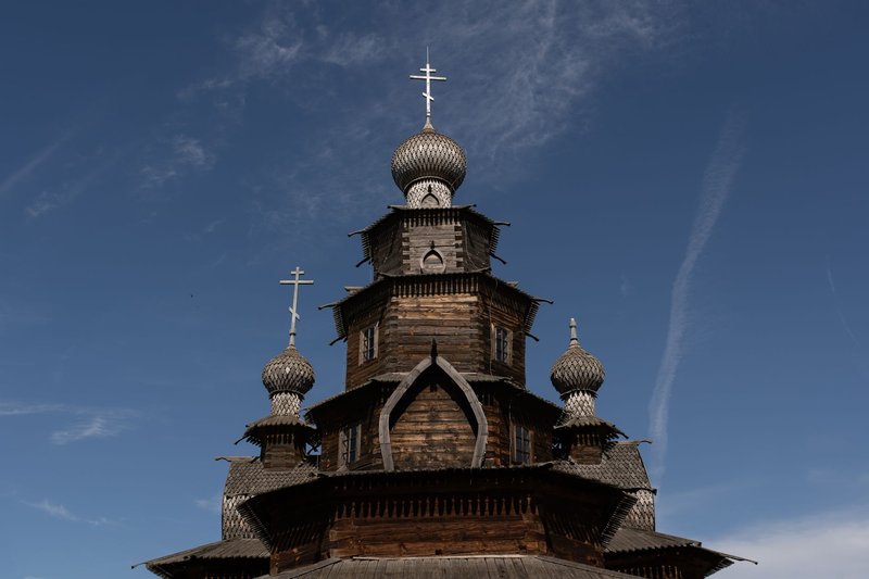
Irish and Scottish families fleeing the famine settled Shrewsbury and the surrounding township of Gore starting around 1851, making a living the hard way: burning trees for potash, then hauling it 105 kilometers to Montreal on foot. St. John’s Shrewsbury Anglican Church went up that same decade. A lumber depression in the 1880s, followed by waves of diphtheria and measles, emptied the village out by the early 1900s.
The church outlasted everyone by more than a century, which turned it into a local legend — QAHN’s account of the vanished village describes decades of ghost-hunting visits and graveyard séances that eventually got the building deconsecrated in 2010. It burned down four years later. What’s left today is a cemetery in the woods of Argenteuil, headstones half-swallowed by underbrush, and that’s genuinely all there is — treat it like the graveyard it is, not a stage set.
9. Crystal Falls
Crystal Falls sat on Route 327 between St. Jovite and Arundel, small enough that its full inventory was a post office, a school, a cheese factory, a water-powered gristmill, and Knox Presbyterian Church. The mill burned in 1919, long before the rest of the settlement thinned out, and the post office eventually became somebody’s private house.
The church survived as the community’s last landmark, restored and relit in 2002 as a nightly beacon along the road. Vandals burned it down in 2021. There’s a cemetery and a memorial fund still maintaining the grounds, but the building that made this stop worth pulling over for is gone — a reminder that a lot of these sites are more fragile than they look, and the version you find in a five-year-old blog post may not be the version still standing.
10. Baskatong
Baskatong isn’t a mining or logging story — it’s a flooding story. The Mercier Dam went up on the Gatineau River in 1927 and 1928, and the reservoir it created swallowed an Algonquin and Métis community that had gathered there seasonally for generations. Families from the Smith, Tolé, and Carl lines were displaced and dispersed to the Désert River band when the water came up in 1929.
There’s no ruin to walk through here — the whole point is that you can’t. What was Baskatong is now 400-plus square kilometers of reservoir north of Maniwaki, and in low-water years locals report old foundations briefly breaking the surface before the level comes back up. It’s the starkest entry on this list: not decline, just erasure by design, in the name of hydroelectric power for somewhere else.
11. Pontiac Village & Union Village
These two sat on opposite sides of the Chats Falls portage on the Ottawa River, connected between 1847 and 1879 by a horse-drawn railway that carried steamboat passengers around the rapids. Pontiac Village had three or four boats a day at its busiest, plus a Catholic church, a bakery, a blacksmith, and a general store built up around the timber slide.
Once the portage stopped being necessary, both villages emptied out fast — there was no other reason for either to exist. What’s left today near Quyon is scattered foundation stones in the brush, easy to miss unless you already know where to look. They’re a good pair to visit together if you’re already in the Outaouais chasing Shrewsbury or Crystal Falls, since they sit closer to Ottawa than either of those.
Before You Go: Access, Safety, and What’s Legal {#before-you-go}
Every one of these sites is different, and lumping them together as “urbex spots” will get you in trouble at more than one of them.
Val-Jalbert is the easy one — it’s a paid, managed historic park with marked trails, so there’s no access question at all.
Gagnon and Joutel both sit on or right beside public highways (Route 389 and Route 109), so you can stop and look without trespassing. There’s nothing resembling a service station for long stretches around either, so fuel up and pack water before you go.
Fire Lake is now inside an active ArcelorMittal mining lease. Don’t wander onto it expecting to find 1970s ruins — treat it as industrial land, because it is one.
Saint-Jean-Vianney is publicly accessible but is, functionally, a mass grave. Quebec’s Access to Territory framework generally requires landowner consent to enter private or leased land, and even where a site is open, common sense applies here more than anywhere else on this list: no drone footage over the slide crater, no treating it as a curiosity.
Shrewsbury and Crystal Falls are both now just cemeteries with a burned foundation next to them, reachable by rural roads (Chemin de Shrewsbury and Route 327 respectively). Both have had real vandalism problems — leave headstones and markers exactly as you find them.
Baskatong requires a boat, not a car, and only shows anything in years when the reservoir runs low.
Pontiac Village and Union Village are on a mix of crown and private land near Quyon; check with the local municipality before you go bushwhacking for foundations.
Duparquet’s Beattie Mine and Normétal both sit on or near active mineral claims. Respect any posted signage — these aren’t preserved heritage sites, they’re working or recently-worked industrial ground, and the rules are stricter than they look from the road.