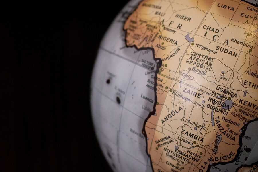
The Central African Republic is a landlocked country where air travel links scattered towns, remote airstrips and the capital for passengers, cargo and humanitarian aid. Local geography and limited road infrastructure make many of these airports essential for connectivity.
There are 28 Airports in Central African Republic, ranging from Alindao to Zemio. The list is organized with the columns City served,Codes (IATA/ICAO),Runway length (m) / Surface / Status so you can quickly compare facilities and operational notes — you’ll find below.
Which airports can handle larger commercial aircraft?
Primary commercial operations are concentrated at the main international airport in Bangui, which has the longest, paved runway and regular services; most other fields are short, often unpaved strips suited to light aircraft, charters and relief flights, so check runway length and surface before planning larger aircraft movements.
How current is the coding and runway information, and where should I verify changes?
Airport data can change due to maintenance, seasonal conditions or regulation; verify codes and runway status with national civil aviation publications (AIP/NOTAM), airline resources or up-to-date databases like ICAO/IATA records and recognized aviation data sites before travel or operations.
Airports in Central African Republic
| Airport | City served | Codes (IATA/ICAO) | Runway length (m) / Surface / Status |
|---|---|---|---|
| Alindao | Alindao | — / FEFA | 1,100 / Unpaved / Operational |
| Bakouma | Bakouma | BMF / FEGM | 1,220 / Unpaved / Operational |
| Bambari | Bambari | BBY / FEFM | 1,518 / Laterite / Operational |
| Bangassou | Bangassou | BGU / FEFG | 1,800 / Unpaved / Operational |
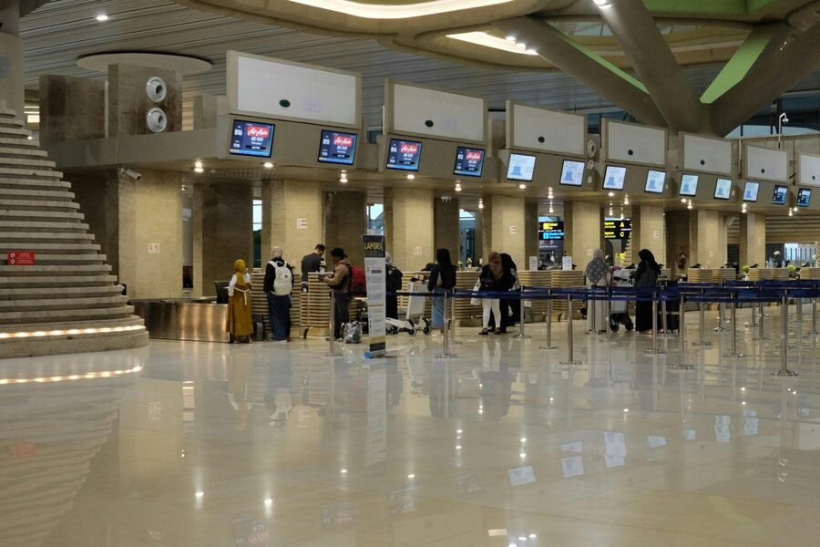
| Bangui M’Poko | Bangui | BGF / FEFF | 3,200 / Asphalt / Operational, main international airport |
| Batangafo | Batangafo | BTG / FEGF | 1,220 / Unpaved / Operational for humanitarian flights |
| Berbérati | Berbérati | BBT / FEFT | 1,660 / Asphalt / Operational, key regional airport |
| Birao | Birao | IRO / FEFI | 1,800 / Laterite / Operational, serves remote northeastern region |
| Bossangoa | Bossangoa | BSN / FEFS | 1,800 / Unpaved / Operational |
| Bouar | Bouar | BOP / FEFO | 1,690 / Laterite / Operational, military and civilian use |
| Bouca | Bouca | — / FEGU | 1,220 / Unpaved / Operational |
| Bozoum | Bozoum | BOZ / FEGZ | 1,400 / Unpaved / Operational |
| Bria | Bria | BIV / FEVF | 1,800 / Unpaved / Operational, major humanitarian hub |
| Carnot | Carnot | CRF / FEFC | 1,930 / Unpaved / Operational |
| Gamboula | Gamboula | — / FEGG | 1,500 / Unpaved / Operational |
| Gordil | Melle | GDI / FEGL | 1,760 / Unpaved / Operational |
| Kaga Bandoro | Kaga Bandoro | — / FEFQ | 1,600 / Laterite / Operational |
| Kembé | Kembé | — / FEFK | 1,300 / Unpaved / Operational |
| Mobaye Mbanga | Mobaye | — / FEFE | 1,580 / Unpaved / Operational |
| N’Délé | N’Délé | — / FEND | 1,800 / Laterite / Operational |
| Obo-M’boki | Obo | MKI / FEGE | 1,600 / Unpaved / Operational |
| Ouadda | Ouadda | ODA / FEFW | 1,400 / Unpaved / Operational |
| Ouanda Djallé | Ouanda Djallé | ODJ / FEGO | 1,400 / Unpaved / Operational |
| Paoua | Paoua | — / FEFP | 1,300 / Unpaved / Operational |
| Rafaï | Rafaï | RFA / FEGR | 1,170 / Unpaved / Operational |
| Sibut | Sibut | — / FEFU | 1,230 / Unpaved / Operational |
| Yalinga | Yalinga | AIG / FEFY | 1,400 / Unpaved / Operational |
| Zemio | Zemio | — / FEFZ | 1,350 / Unpaved / Operational |
Images and Descriptions

Alindao
Serve the town of Alindao with a small airstrip. Feature an unpaved runway used for light aircraft, local charters, and humanitarian flights.
Bakouma
Serve the mining town of Bakouma with a basic airstrip. Note the unpaved surface and limited facilities used mainly by aid groups and charter operators.
Bambari
List Bambari as a regional airport hub with a simple runway. Support domestic flights, cargo, and UN or NGO operations on an unpaved strip.

Bangassou
Show Bangassou as a river town with an operational airstrip. Highlight its use for domestic travel and frequent humanitarian missions.

Bangui M’Poko
Identify Bangui M’Poko as the main international airport in the Central African Republic. Note its paved runway, international services, and role as the country’s primary entry and exit point.

Batangafo
Include Batangafo as a small regional airstrip. Describe its unpaved runway and seasonal use for light aircraft and relief flights.

Berbérati
Present Berbérati as a major regional airport in the southwest. State that it has more developed facilities and a paved or well-maintained runway for larger domestic aircraft.
Birao
Name Birao as a remote northern airstrip. Note the unpaved surface and its importance for military, UN, and humanitarian access.
Bossangoa
Record Bossangoa as a regional airport with a basic runway. Emphasize local charter service and occasional relief flights on an unpaved strip.
Bouar
List Bouar as a western town with an airstrip. Describe a short, unpaved runway serving light aircraft and local connections.
Bouca
Include Bouca as a small airport serving a local town. Note the simple, unpaved runway used by charter and aid flights.

Bozoum
Present Bozoum as a northern regional airstrip. Highlight the unpaved runway and its use for local transport and humanitarian missions.
Bria
Show Bria as a regional airport in the east with an operational runway. Note frequent use by UN and aid organizations and a mainly unpaved surface.
Carnot
List Carnot as a border-town airstrip near Cameroon. Describe a basic, unpaved runway used for local and cross-border flights.
Gamboula
Include Gamboula as a small airstrip near the south-west border. Mention the unpaved surface and limited facilities suited to light aircraft.
Gordil
Name Gordil as a remote landing strip. Note the unpaved, short runway and its use for infrequent charter and humanitarian flights.
Kaga Bandoro
Present Kaga Bandoro as a central regional airport. Highlight its role for UN, NGOs, and domestic flights on an unpaved runway.
Kembé
List Kembé as a local town with a small airstrip. Describe limited facilities and an unpaved runway serving light planes and relief operations.

Mobaye Mbanga
Include Mobaye Mbanga as a riverine airstrip with a simple runway. Note its role for local transport and support of river-area communities.

N’Délé
Show N’Délé as a northeastern regional airport. Emphasize its unpaved runway and regular use by humanitarian and charter services.
Obo-M’boki
Name Obo-M’boki as a remote southeastern airstrip. Note the rough, unpaved runway and its importance for access to remote communities and aid workers.

Ouadda
List Ouadda as a small town airstrip. Describe the unpaved runway and seasonal use for light aircraft and relief missions.
Ouanda Djallé
Include Ouanda Djallé as a remote northeastern landing strip. Highlight the unpaved surface and limited facilities for occasional flights.

Paoua
Present Paoua as a northwest regional airport. Note its unpaved runway and common use by humanitarian agencies and local charters.
Rafaï
Show Rafaï as a southeastern border airstrip. Describe the unpaved runway and its role for cross-border and relief flights.
Sibut
List Sibut as a central town with a local airstrip. Note the simple, unpaved runway and use for domestic and aid-related flights.

Yalinga
Include Yalinga as an eastern airstrip with limited facilities. Mention the unpaved runway and occasional use by charter and humanitarian aircraft.

Zemio
Name Zemio as a southeastern border town with an airstrip. Highlight its unpaved runway and frequent use by UN and aid organizations.