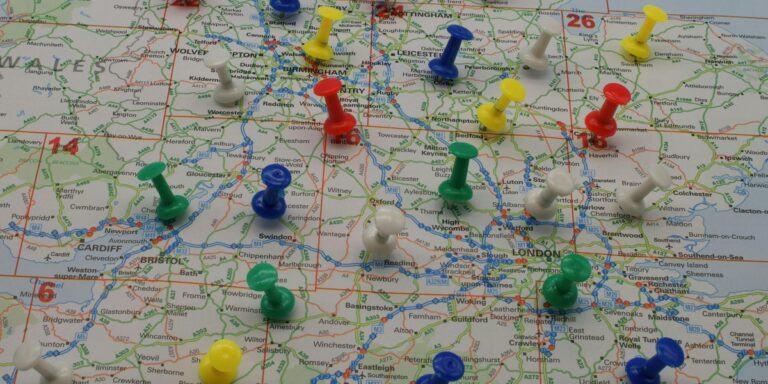
Explore the three Timor Sea Bordering Countries — Timor-Leste, Indonesia, and Australia — with a clear table showing each nation’s flag, measured coastline on the Timor Sea (km), and essential maritime notes. This quick reference highlights boundary lines, resource and shipping considerations, and notable disputes or agreements, useful for students, policymakers, researchers, and travelers interested in regional maritime geography.
Smallest Lakes by Region
A hub page listing the smallest lakes by region — from tiny alpine tarns to coastal ponds — linking to in-depth regional posts with maps, sizes, coordinates, and photos. Jump to the region you care about for detailed lists and quick facts.
List of National Parks in Texas
Discover Texas’s two national parks — Big Bend and Guadalupe Mountains — with concise facts on area, location, and notable features. This quick list helps travelers and nature lovers compare landscapes, hiking opportunities, wildlife, and scenic highlights to plan visits or learn more about these protected places.
List of New York-Pennsylvania Bordering Towns
A comprehensive list of 73 New York – Pennsylvania Bordering Towns, showing state, country, and nearest road crossing with distances in km. Use this resource to find crossing points, plan drives, and explore towns along the NY‑PA state line.
The Complete List of Virginia – Maryland Bordering Towns
This post lists all 43 Virginia – Maryland Bordering Towns, organized by state and county with quick facts and map links. Perfect for travelers, researchers, or anyone curious about communities along the Potomac and other border waterways. Explore each town’s county, location, and how they connect across the state line—click to view the full, easy-to-navigate list.
Active Volcanoes in South Africa
This post examines active volcanoes in South Africa, reviewing known volcanic sites, their last recorded activity, and the geological evidence behind classifications. Whether you’re a traveler, student, or geology enthusiast, find clear location details, eruption dates where available, and expert insights on volcanic risk and research.
Bays in Scotland: The Complete List
Explore a complete list of 64 Bays in Scotland with council area, precise coordinates and nearest town or access details. Ideal for travelers, photographers and coastal researchers looking for accurate location and access information.
The Complete List of Missouri – Oklahoma Bordering Towns
This post lists all nine Missouri – Oklahoma Bordering Towns with country, state (county), and distance to the MO-OK border in kilometers. Use the clear table to identify each town, check county information, and quickly see how far each community sits from the state line.
The Complete List of Bays In Cape Cod
Explore a definitive list of the 15 bays in Cape Cod, organized by town with precise coordinates (lat, lon) and area in km² to help boaters, beachgoers, and researchers locate and compare each bay. Use the map-ready data to plan coastal outings, discover harbors, and pick the best spots for swimming, fishing, or sightseeing along Cape Cod’s shore.
Bays in Martha’s Vineyard: The Complete List
This guide lists all five bays in Martha’s Vineyard with town names, precise coordinates, and practical access & activities information. Whether you’re planning to kayak, fish, swim, or chase sunsets, find maps, parking tips, and activity suggestions to help you make the most of each bay.
