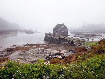
Connecticut’s coastline is a mix of working harbors, quiet inlets and tidal marshes that shape local communities and wildlife habitat. Whether you’re curious about boating, birding or shoreline history, a clear list of bays helps you see how the pieces fit together along the Sound and inland rivers.
There are 32 Bays in Connecticut, ranging from Alewife Cove to Wethersfield Cove. For each bay we list Towns,Coordinates (lat, long),Area (km²) — you’ll find below.
How current and accurate is this list of bays?
The list compiles named bays from state and federal charts, local maps, and town records; coordinates and area are based on the best available public data but may be rounded or updated over time. Use the list as a reliable starting point, then check recent nautical charts or town GIS for critical planning.
Can I access these bays for recreation and wildlife viewing?
Many bays have public access via parks, beaches or boat launches, while others border private land or protected marshes where access is limited; tides and local rules affect use. Look up the listed town and local access points before visiting, and respect posted protections for nesting birds and sensitive habitats.
Bays in Connecticut
| Name | Towns | Coordinates (lat, long) | Area (km²) |
|---|---|---|---|
| Niantic Bay | East Lyme;Waterford | 41.31,-72.19 | 14.25 |
| New Haven Harbor | New Haven;West Haven;East Haven | 41.28,-72.91 | 19.5 |
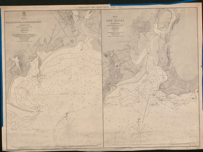
| Bridgeport Harbor | Bridgeport;Stratford | 41.16,-73.18 | 10.2 |
| Stamford Harbor | Stamford | 41.03,-73.54 | 6.5 |
| Black Rock Harbor | Bridgeport;Fairfield | 41.15,-73.22 | 3.1 |
| Norwalk Harbor | Norwalk | 41.08,-73.42 | 7.5 |
| Wethersfield Cove | Wethersfield | 41.71,-72.65 | 0.6 |
| Hamburg Cove | Lyme | 41.39,-72.35 | 0.8 |
| Lords Cove | Lyme;Old Lyme | 41.35,-72.33 | 2.1 |
| Mumford Cove | Groton | 41.33,-72.03 | 0.9 |
| Alewife Cove | New London;Waterford | 41.34,-72.12 | 0.55 |
| Wequetequock Cove | Stonington | 41.35,-71.88 | 1.5 |
| Quiambaug Cove | Stonington | 41.34,-71.93 | 0.4 |
| Pequotsepos Cove | Stonington | 41.35,-71.97 | 0.6 |
| Morris Cove | New Haven | 41.27,-72.89 | 1.1 |
| Jordan Cove | Waterford | 41.33,-72.12 | 0.7 |
| Bakers Cove | Groton | 41.33,-72.05 | 0.5 |
| Keeney Cove | Glastonbury | 41.70,-72.62 | 0.25 |
| North Cove (Essex) | Essex | 41.35,-72.39 | 0.2 |
| South Cove (Essex) | Essex | 41.34,-72.39 | 0.3 |
| North Cove (Old Saybrook) | Old Saybrook | 41.30,-72.37 | 1.2 |
| South Cove (Old Saybrook) | Old Saybrook | 41.29,-72.38 | 0.4 |
| Pine Island Bay | Groton | 41.31,-72.05 | 2.5 |
| Cos Cob Harbor | Greenwich | 41.02,-73.60 | 1.3 |
| Indian Harbor | Greenwich | 41.01,-73.62 | 0.7 |
| Greenwich Cove | Greenwich | 41.01,-73.64 | 0.5 |
| Smith Cove | Greenwich | 41.01,-73.68 | 0.2 |
| Westcott Cove | Stamford | 41.04,-73.53 | 0.4 |
| Collins Cove | Stamford | 41.06,-73.49 | 0.15 |
| Holly Pond | Stamford;Darien | 41.05,-73.49 | 0.6 |
| The Cove (Stonington) | Stonington | 41.33,-71.91 | 0.3 |
| The Cove (Westport) | Westport | 41.11,-73.30 | 0.1 |
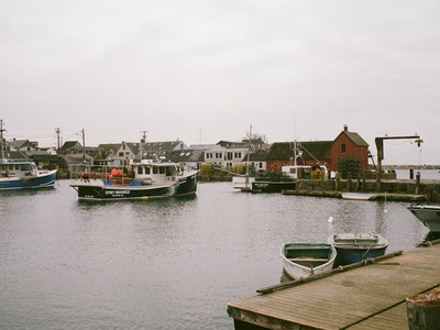
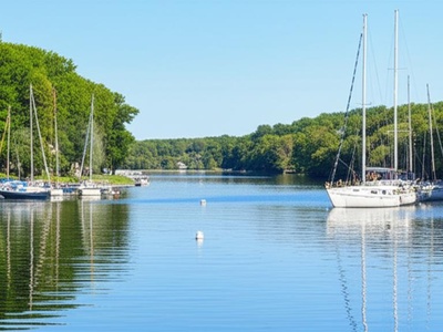
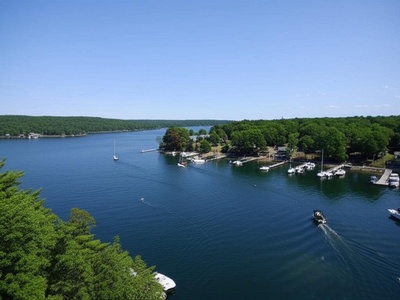
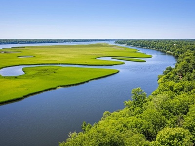
Images and Descriptions
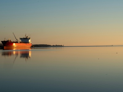
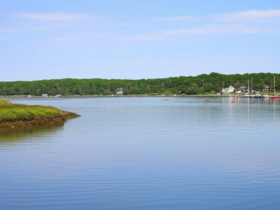
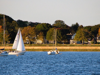
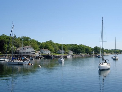
Niantic Bay
A large, crescent-shaped bay on Long Island Sound, popular for boating, fishing, and its scenic beaches like Rocky Neck State Park. It’s bordered by the villages of Niantic and Waterford and fed by the Niantic River, creating a rich coastal ecosystem.
New Haven Harbor
A major deepwater port on Long Island Sound, officially classified as a bay. It serves commercial shipping and recreational boaters, and is formed by the estuaries of the Quinnipiac, Mill, and West rivers. The iconic Southwest Ledge Light marks its entrance.
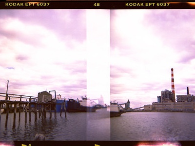
Bridgeport Harbor
A significant commercial and industrial port on Long Island Sound, though officially classified as a bay. It features ferry services, marinas, and is protected by a series of breakwaters, making it a vital hub for regional shipping and recreational boating.
Stamford Harbor
Comprised of an East and West Branch, this busy harbor is officially classified as a bay. It’s a center for recreational boating with numerous yacht clubs and marinas, alongside commercial properties. It is protected by a hurricane barrier at its mouth.
Black Rock Harbor
Located between Bridgeport and Fairfield, this protected harbor is officially classified as a bay. It is a popular destination for recreational boaters, home to several yacht clubs, and is separated from Bridgeport Harbor by the Black Rock peninsula.
Norwalk Harbor
A picturesque and active waterway on Long Island Sound, officially classified as a bay. It is dotted with the scenic Norwalk Islands and serves a vibrant community of recreational boaters, commercial fishermen, and oyster farms, with the historic Sheffield Island Lighthouse nearby.
Wethersfield Cove
A historic oxbow of the Connecticut River, this freshwater cove is a hub for recreational boating and home to several yacht clubs. It offers calm waters for kayaking and powerboating, with direct access to the main river channel in historic Wethersfield.
Hamburg Cove
A very well-protected and scenic freshwater cove located off the Connecticut River in Lyme. Known as one of New England’s premier anchorages, it’s a popular destination for boaters seeking calm waters and is surrounded by lush, preserved land.
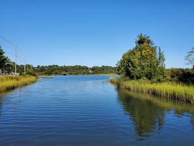
Lords Cove
A large, tidal marsh system and cove on the eastern side of the Connecticut River. It is part of a nationally recognized tidal wetland complex, renowned for its pristine beauty, abundant birdlife, and excellent opportunities for kayaking and exploring natural habitats.

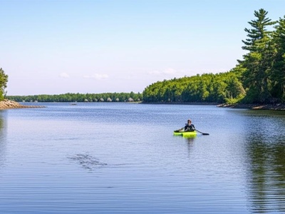
Mumford Cove
A private, residential cove located in Groton, opening into Fishers Island Sound. It offers a sheltered anchorage and is primarily used by local residents for boating, swimming, and other water activities. The entrance is marked by the Morgan Point Lighthouse.
Alewife Cove
A tidal estuary located on the border between New London and Waterford, connecting to the Thames River. It’s a vital local ecosystem and a popular spot for kayaking, bird watching, and fishing, particularly for alewife during their spring migration.
Wequetequock Cove
A large, shallow tidal cove in Stonington that empties into Little Narragansett Bay. It is a significant habitat for shellfish and shorebirds, making it a popular location for shellfishing (with a permit), kayaking, and bird watching in a scenic, natural setting.
Quiambaug Cove
A small, well-protected cove in Stonington, just east of the Mystic River. It’s a quiet spot popular for kayaking, paddleboarding, and observing wildlife. The cove is almost entirely enclosed, with a narrow, bridged channel connecting it to Fishers Island Sound.
Pequotsepos Cove
A tidal inlet of the Mystic River, located within the Avalonia Land Conservancy’s Pequotsepos Brook Preserve. This peaceful cove is an excellent spot for birdwatching and kayaking through protected salt marshes, offering a glimpse into Connecticut’s coastal ecology.
Morris Cove
A shallow cove and historic neighborhood on the eastern side of New Haven Harbor. It’s known for the Pardee-Morris House museum and Lighthouse Point Park, which features a beach, splash pad, and a historic carousel, making it a family-friendly destination.
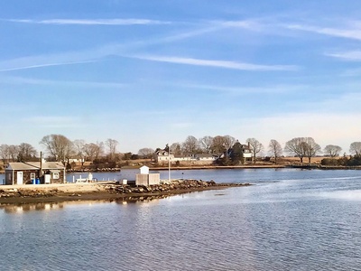
Jordan Cove
A protected cove on the west bank of the Thames River, located south of the Gold Star Memorial Bridge. It provides sheltered anchorage for boats and is the site of several marinas, serving the recreational boating community of Waterford and New London.
Bakers Cove
A tidal cove located on the Groton shoreline, opening into Fishers Island Sound. It is part of the Haley Farm State Park and Bluff Point State Park ecosystem, offering scenic views and opportunities for hiking, birding, and kayaking in a natural setting.
Keeney Cove
A small, calm oxbow cove on the Connecticut River in Glastonbury. It is home to the Seaboard Marina and is a popular spot for local boaters, offering a protected harbor away from the main river channel for docking and recreational activities.
North Cove (Essex)
A picturesque and historic cove on the Connecticut River, located in the heart of Essex village. It is home to the Essex Yacht Club and provides a beautifully scenic and protected anchorage for boats, surrounded by historic colonial-era homes.
South Cove (Essex)
Situated just south of its northern counterpart on the Connecticut River in Essex, this cove offers another sheltered anchorage. It is bordered by the Connecticut River Museum and provides beautiful views and calm waters for boaters exploring the historic village.
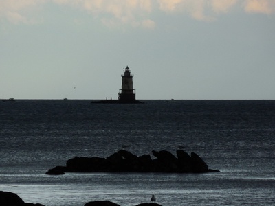
North Cove (Old Saybrook)
A large, shallow cove on the west bank of the Connecticut River, near where it meets Long Island Sound. It is a critical habitat for wading birds and is popular for kayaking and clamming, featuring the scenic “Outer Light” lighthouse at its southern point.
South Cove (Old Saybrook)
Located in Old Saybrook, this cove is part of a system of tidal marshes and waterways near the mouth of the Connecticut River. It offers excellent opportunities for birdwatching and kayaking through its protected salt marshes, adjacent to the Fenwick Historic District.
Pine Island Bay
A broad, open bay located between Groton Long Point and Avery Point. It is a popular area for sailing, fishing, and powerboating, with access to nearby coves and the waters of Fishers Island Sound. The University of Connecticut’s Avery Point campus overlooks the bay.
Cos Cob Harbor
A well-protected harbor on the Mianus River, officially classified as a bay by the USGS. It is a vibrant boating center in Greenwich, home to the Cos Cob Harbor, Riverside, and Mianus yacht clubs, and is crossed by the Metro-North railroad bridge.
Indian Harbor
A protected, residential harbor in Greenwich, officially designated as a bay. It is home to the prestigious Indian Harbor Yacht Club and is characterized by its large waterfront estates, providing a secluded and scenic anchorage for local boaters.
Greenwich Cove
Located at the head of Greenwich Harbor, this small cove is adjacent to the beautiful Tod’s Point peninsula (Greenwich Point Park). It’s a popular spot for launching small craft like kayaks and sailboats to enjoy the calm, protected waters of the park.
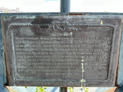
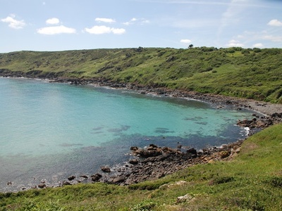
Smith Cove
A small, narrow cove located in western Greenwich, near the border with New York. It is a quiet, residential inlet offering protected mooring for small boats and is a peaceful spot for kayaking away from the more bustling parts of Long Island Sound.
Westcott Cove
A sheltered cove on the western side of Stamford Harbor’s main channel, located within Cummings Park. It provides a public beach, a marina, and launch ramps, making it a popular and accessible spot for local families, fishermen, and recreational boaters.
Collins Cove
A small inlet located in the Cove section of Stamford, adjacent to Cove Island Park. This shallow, tidal cove is a great spot for birdwatching and exploring the park’s salt marsh habitats, offering peaceful views and walking trails along its shore.
Holly Pond
A tidal estuary on the border of Stamford and Darien, officially classified as a bay. Also known as Cove Pond, it is surrounded by Cove Island Park and is a vital local ecosystem, popular for birdwatching, kayaking, and its scenic shoreline trails.
The Cove (Stonington)
The inner, most protected part of Stonington Harbor, often referred to simply as “The Cove.” It provides exceptionally calm anchorage for Stonington’s historic fishing fleet and recreational boaters, right next to the charming village center.
The Cove (Westport)
A small, semi-enclosed body of water located at Sherwood Island State Park. This calm cove is ideal for families, offering a gentle beach for swimming and a launch point for kayaks and paddleboards to explore the park’s shoreline on Long Island Sound.