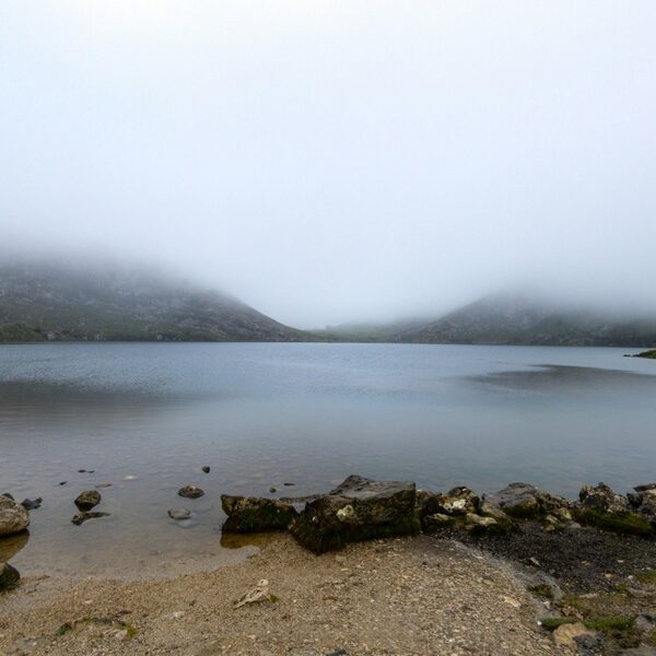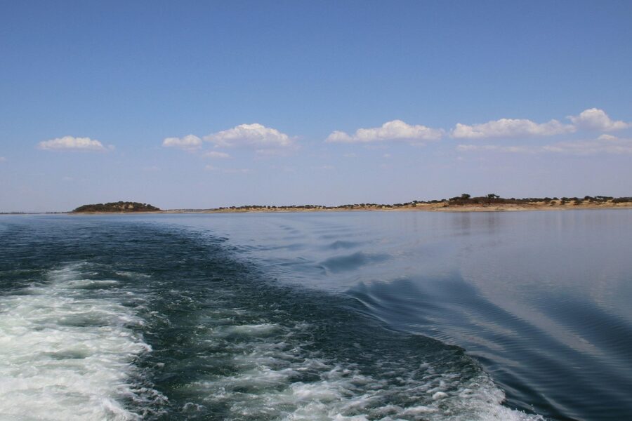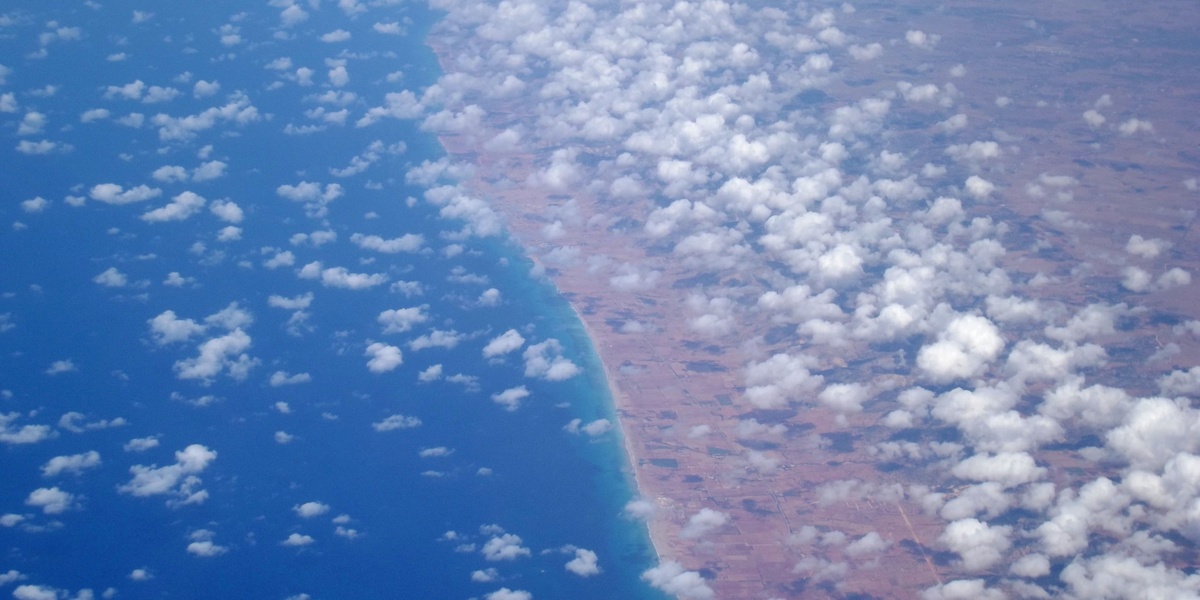
Libya, with its extensive Mediterranean coastline stretching over 1,770 kilometers, boasts a diverse maritime landscape shaped by both natural forces and human activity. Along these shores, numerous natural indentations, from sweeping curves to more sheltered coves, offer unique characteristics and ecological significance, playing roles in everything from ancient trade to modern industry.
This article delves into some of these prominent features, specifically focusing on the ten Bays in Libya that punctuate its northern edge. Ranging from the historically significant Azzawiya Bay in the west to the strategically positioned Zuwara Bay, this comprehensive list explores these maritime indentations. For each entry, you’ll find below detailed information on its Location, Approx. Width (km), and Key Features, providing a clear overview.
What role do these bays play in Libya’s economy and geography?
Libya’s bays are crucial geographical features, often serving as natural harbors that support the nation’s shipping and fishing industries. Their sheltered waters provide ideal locations for major ports, which are vital for international trade, oil exports, and local maritime activities. Geographically, they also contribute significantly to the country’s diverse coastal ecosystems and influence regional climates.
Are these bays generally accessible to the public?
While many bays host industrial ports and commercial activities essential to Libya’s economy, which might restrict direct public access, other areas within or adjacent to these bays often offer recreational opportunities. These can include beaches, local fishing spots, and scenic viewpoints, depending on the specific bay’s primary use and local regulations.
Bays in Libya
| Bay Name | Location | Approx. Width (km) | Key Features |
|---|---|---|---|
| Tripoli Bay | Tripoli (west-central coast) | 10 | Capital harbour, urban coastline, beaches |
| Benghazi Bay | Benghazi (northeast/Cyrenaica) | 8 | Major port, coastal plain, urban harbour |
| Derna Bay | Derna (eastern Cyrenaica) | 3 | Natural harbour, river mouth, rugged cliffs |
| Bomba Bay | Bomba/Apollonia area (east of Benghazi) | 4 | WWII history, sandy beaches, fishing community |
| Khoms Bay | Al Khums / Leptis Magna (west of Tripoli) | 6 | Leptis Magna ruins, sandy shore, archaeological significance |
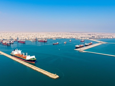
| Misrata Bay | Misrata (central-north coast) | 6 | Commercial port, industrial waterfront, fishing |
| Zuwara Bay | Zuwara (far west near Tunisia) | 4 | Fishing harbour, traditional fishing, coastal plain |
| Ras Lanuf Bay | Ras Lanuf area (central coast) | 5 | Oil terminal proximity, sandy headlands |
| Brega Bay | Al-Brega (central-north coast) | 2 | Petrochemical facilities nearby, small harbour |
| Azzawiya Bay | Az Zawiyah (west coast near Tripoli) | 7 | Refinery and port, coastal plain, transport hub |
Images and Descriptions
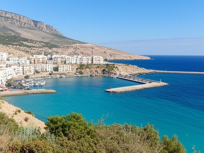
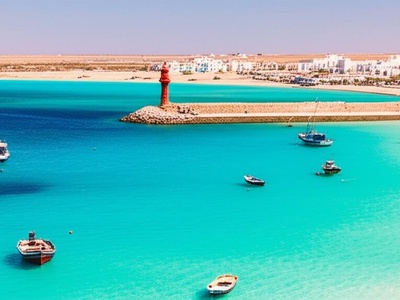
Tripoli Bay
Tripoli Bay fronts Libya’s capital and serves as the country’s principal urban waterfront, mixing port facilities with beaches and historic districts. It shapes the city’s maritime life and is central to trade and coastal recreation.
Benghazi Bay
Benghazi Bay hosts Libya’s second-largest city and a busy harbour, with adjacent flat coastal plains and urban waterfronts. The bay has long been a regional trade and fishing center and anchors Benghazi’s economic and social activities.
Derna Bay
Derna Bay is a small, sheltered inlet where a seasonal river reaches the Mediterranean amid rugged cliffs. Its natural harbour has supported fishing and local trade for centuries and frames the town’s dramatic coastal scenery.
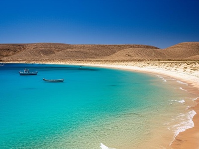
Bomba Bay
Bomba Bay (near the town of Bomba) is a modest sandy bay noted for WWII operations and local fishing. The bay’s beaches and nearby archaeological sites attract visitors exploring eastern Libya’s layered maritime history.
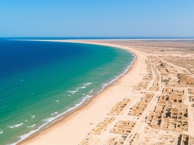
Khoms Bay
Khoms Bay sits beside the famed Roman ruins of Leptis Magna. The bay’s shoreline and nearby archaeological park combine ancient maritime heritage with sweeping sands and a port history dating to antiquity.
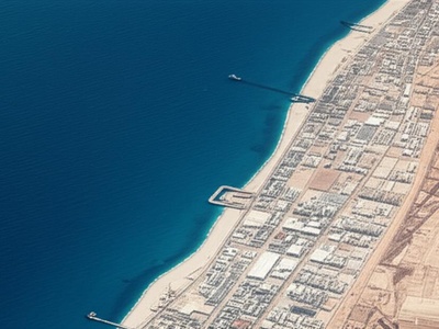
Misrata Bay
Misrata Bay fronts an important commercial and industrial port town. The bay area mixes heavy industry, shipping terminals and traditional fishing, playing a key role in regional trade and local livelihoods.
Zuwara Bay
Zuwara Bay lies near the border with Tunisia and supports a vibrant fishing community and small harbour. Its coastal plain and local markets reflect the town’s maritime traditions and cross-border cultural ties.
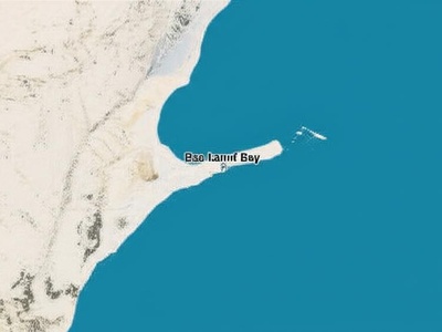
Ras Lanuf Bay
Ras Lanuf Bay is adjacent to major oil facilities along Libya’s central coast. While industrial infrastructure dominates, the bay’s natural headlands and open waters remain geographically significant on the Sirte coastline.

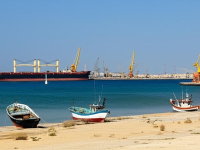
Brega Bay
Brega Bay is a narrow coastal indentation near key petrochemical and oil-export installations. The bay provides a sheltered zone for port operations while contrasting industrial infrastructure with stretches of Mediterranean shoreline.
Azzawiya Bay
Azzawiya Bay fronts a major refinery town west of Tripoli. The bay area blends industrial port works with broad coastal plains and serves as an important transport and energy-node along Libya’s western shore.