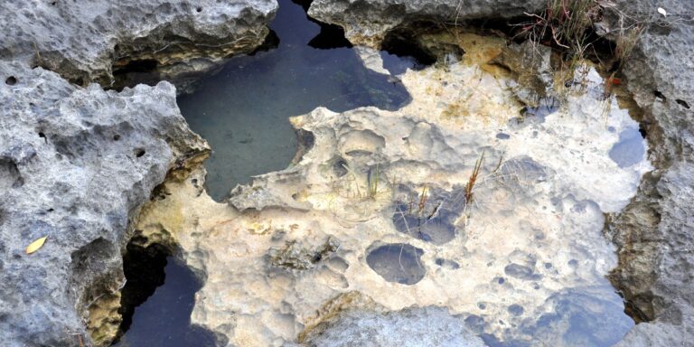
This comprehensive guide lists 30 Rivers in Bahamas, detailing each waterway’s island, type and length (km). Perfect for travelers, students, and nature enthusiasts seeking maps, locations and quick facts about Bahamian rivers and coastal ecosystems.
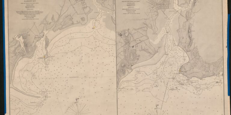
The Complete List of Bays in Nova Scotia
This comprehensive list catalogs 100 Bays in Nova Scotia, providing region, precise coordinates (lat, long), and area (km²) for each entry. Ideal for travelers, mariners, researchers, and anyone exploring Nova Scotia’s coastline — use it to plan visits, map routes, or support conservation and study.
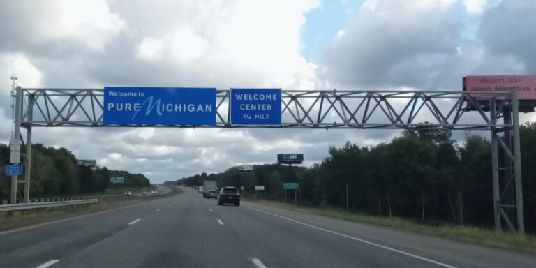
Michigan – Indiana Bordering Towns: The Complete List
This post provides a complete list of the 10 Michigan – Indiana Bordering Towns, presented in a concise table showing country, state, and the adjacent town across the border. Use it to identify neighboring communities, plan crossings or regional visits, and get quick context on each border point—ideal for travelers, researchers, and locals.
Border Towns by US State
This hub lists Border Towns by US State and links to in-depth state pages. Find notable towns on state lines with maps, travel tips, historical notes, and practical details. Use the state-by-state index to explore nearby border towns, plan visits, and follow linked guides for complete lists and local insights.
The Complete List of Missouri – Iowa Bordering Towns
Explore the complete list of Missouri – Iowa Bordering Towns — a clear table of 15 towns with the country, Missouri/Iowa side, and county for each. Ideal for travelers, local historians, real estate research, and anyone curious about Midwest border communities. Quickly find location details and plan visits or research with this concise, verified reference.
Gulfs by Region
Gulfs by Region is a comprehensive hub that organizes major gulfs around the world by region — from the Gulf of Mexico and Persian Gulf to the Gulf of Guinea and Gulf of Thailand. Use the regional lists and linked pages to find maps, facts, and in-depth articles for each gulf.
The Complete List of Bays in Connecticut
Explore the complete list of 32 bays in Connecticut, each entry listing the town, GPS coordinates, and area in km². Ideal for boaters, researchers, and coastal enthusiasts, this guide provides quick-reference data and helpful context to locate, compare, and visit Connecticut’s bays – from popular harbors to hidden inlets. Maps and sortable data make it easy to plan trips or study coastal features.
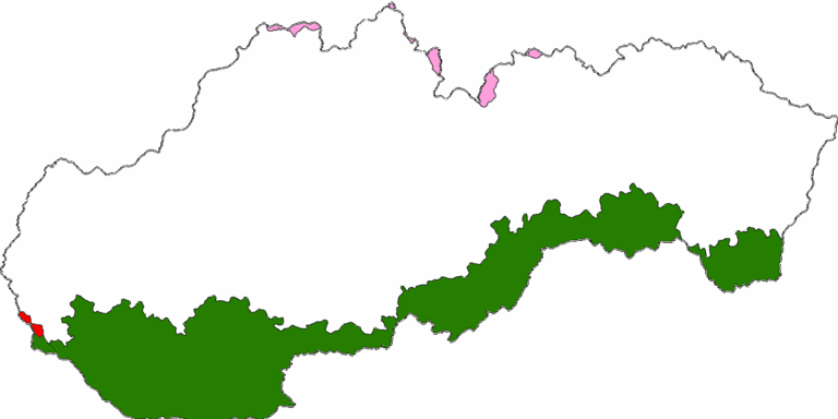
List of Countries That Border Slovakia
This quick-reference list identifies the five countries that border Slovakia — Austria, Czechia, Poland, Ukraine and Hungary — and provides each neighbor’s border length and major crossing points. Perfect for travelers, students, and anyone curious about Slovakia’s borders and regional connections.
Bordering Towns Between US States
A comprehensive hub listing towns that sit on or across US state lines. This post links to individual state-pair lists, maps, and travel notes to help you find border towns, check distances, and plan visits or research geographic curiosities.
Smallest Countries by Area by Continent
This hub guides you through the smallest countries by area by continent, offering quick facts, maps, and links to in-depth regional lists. Compare microstates and tiny nations across Africa, Asia, Europe, the Americas, Oceania, and Antarctica, then jump to detailed country profiles with stats and maps.

