National borders represent the lines, rivers, mountains and maritime zones where neighboring states meet and interact. The history of these boundaries spans centuries of treaties, exploration and conflict, producing a wide variety of border types from straight-line frontiers to complex enclaves. Borders shape trade, migration, security and cultural exchange, and they can change through diplomacy, war or legal adjudication. Understanding how borders form and function helps explain regional geography, international relations and everyday travel rules.
Context
The modern idea of sovereign borders has roots in early European statecraft and was reinforced by the Peace of Westphalia in 1648, which emphasized territorial sovereignty. Colonialism in the 19th and 20th centuries imposed many straight-line boundaries, especially in Africa and parts of Asia, while decolonization after World War II led to the creation of new states and revised frontiers. Today, borders are governed by treaties, bilateral agreements and international law; maritime limits are shaped by the United Nations Convention on the Law of the Sea. Borders influence legal jurisdiction, customs and immigration controls, and some regions—such as the Schengen Area in Europe—have arrangements that significantly reduce routine border checks between neighbors.
Scope and coverage
This collection encompasses a wide range of topics related to national boundaries and neighboring states. It includes descriptions of land and maritime borders, comparisons of how many neighbors different countries have, and discussions of special cases such as enclaves, exclaves and microstates. Regional patterns, historical boundary changes, and notable disputes or agreements are considered in general terms. The material also touches on island nations that lack land frontiers and on legal frameworks like maritime zones. Coverage is designed to illuminate patterns and context rather than to list every bilateral detail exhaustively.
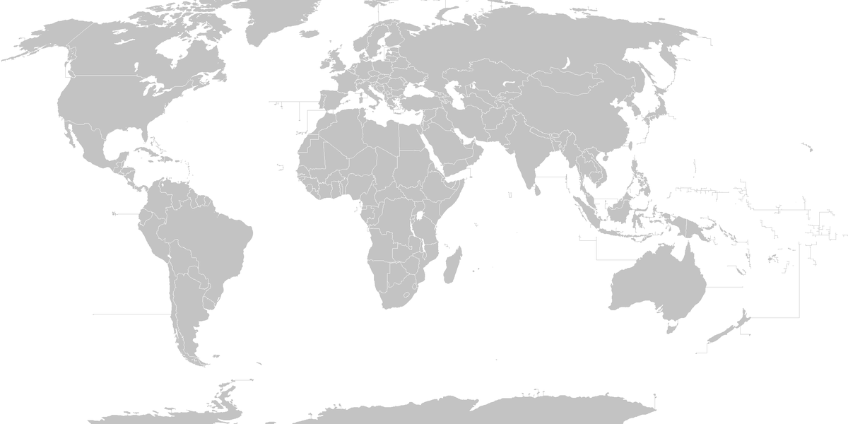
Little-known facts about national borders
- There are 195 widely recognized sovereign states: 193 United Nations members plus two observer states.
- China and Russia each share land borders with 14 different countries, among the highest counts worldwide.
- Lesotho is entirely surrounded by South Africa, while Vatican City and San Marino are enclaved within Italy.
- The UN Convention on the Law of the Sea allows coastal states to claim an exclusive economic zone of up to 200 nautical miles from their shores.
- Several countries have no land borders with other states; well-known island examples include Japan, New Zealand and Madagascar.
- In parts of Europe the Schengen Area removes routine border checks between member states, enabling passport-free travel across many neighboring countries.