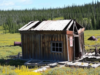
Yukon’s wide, quiet stretches still hold the outlines of former settlements: timber frames leaning against spruce, ghostly boardwalks and mine workings that hint at lives tied to short-lived booms. Walking or reading about these places connects you to the region’s economic shifts and the people who tried to make a life far from the south.
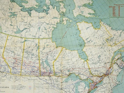
There are 15 Ghost Towns in Yukon, ranging from Aishihik Village to Thistle Creek. For each entry you’ll find below Country,Coordinates (decimal°),Era & status, so you can quickly spot where a site is and whether it’s a ruin, preserved or unofficially occupied.
Are these sites safe and legal to visit?
Many sites are on public land and accessible, but others lie on private property or First Nations territory; always check land ownership and local regulations before visiting. Remote roads, seasonal conditions and lack of services mean you should plan logistics, tell someone your route, and respect signage and fragile structures.
How reliable are the coordinates and status labels?
Coordinates come from mapped records and field reports but can be approximate for very old or relocated sites; status labels reflect recent surveys where available, so treat them as guidance and verify with local sources if precise location or legal access matters.
Ghost Towns in Yukon
| Name | Country | Coordinates (decimal°) | Era & status |
|---|---|---|---|
| Forty Mile | Canada | 64.43,-140.53 | 1886–c.1950s; Partially preserved ruins, National Historic Site. |
| Fort Selkirk | Canada | 62.77,-137.38 | c. 1848–1950s; Preserved historic site, seasonally staffed. |
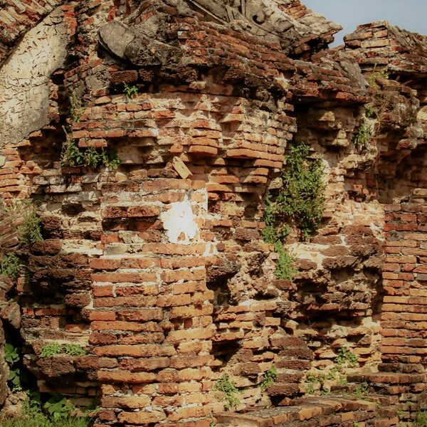
| Clinton Creek | Canada | 64.06,-140.71 | 1967–1978; Abandoned, decaying modern structures. |
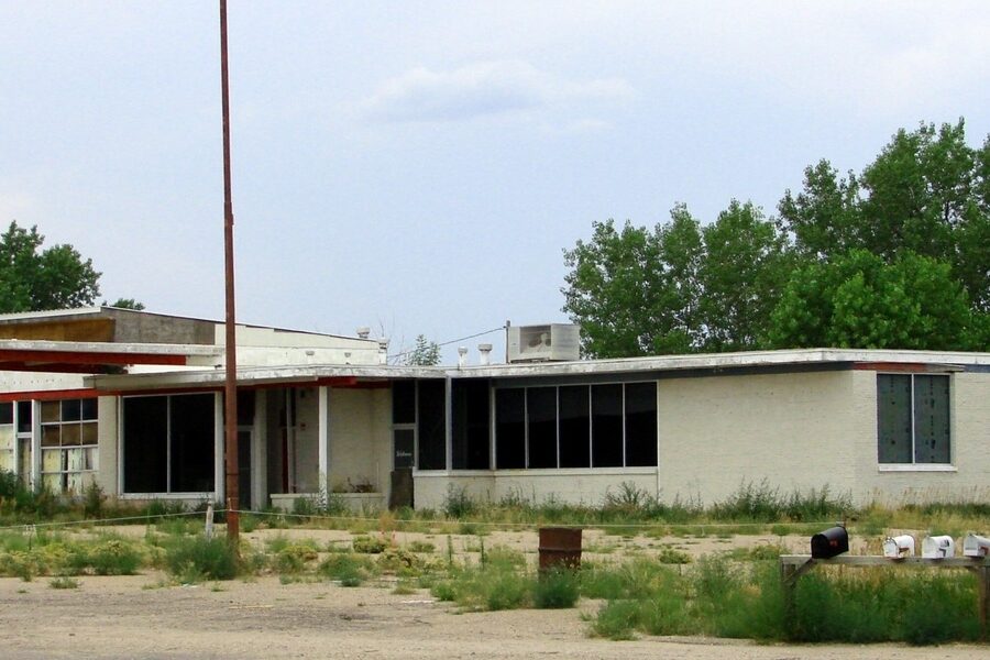
| Elsa | Canada | 63.91,-135.48 | c. 1935–1988; Largely abandoned, some reclamation work. |
| Grand Forks | Canada | 63.92,-139.31 | 1896–c.1921; Site has been completely dredged. |
| Bear Creek | Canada | 64.04,-139.33 | 1905–1966; Preserved National Historic Site. |
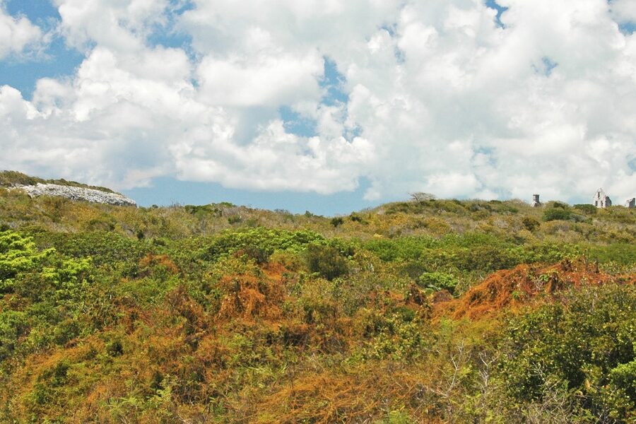
| Conrad | Canada | 60.27,-134.89 | 1905–c.1914; Ruins and some standing structures. |
| Canyon City | Canada | 60.63,-135.08 | 1897–c.1900; Archaeological site with few visible remains. |
| Livingstone Creek | Canada | 61.32,-134.40 | 1898–c.1910; Scattered ruins and artifacts. |
| Big Salmon Village | Canada | 61.90,-134.90 | Traditional–c.1950s; Decaying cabins and cultural site. |
| Dalton Post | Canada | 60.03,-137.04 | c. 1894–c.1950s; Some preserved log structures. |
| Aishihik Village | Canada | 61.53,-137.05 | Traditional–c.1968; Abandoned village and WWII airfield. |
| Dominion | Canada | 63.85,-138.64 | c. 1898–c.1930s; Few physical remains. |
| Thistle Creek | Canada | 63.09,-139.28 | c. 1900–c.1920s; Isolated cabins and artifacts. |
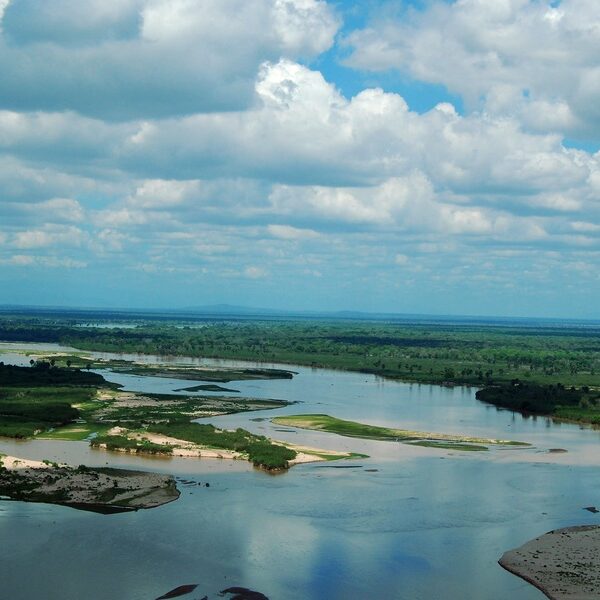
| Stewart River | Canada | 63.31,-139.42 | c. 1885–c.1950; Site with building foundations and artifacts. |
Images and Descriptions
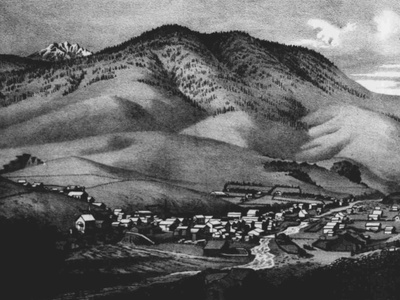
Forty Mile
One of Yukon’s oldest pre-Klondike towns, a hub for traders and prospectors. It was abandoned when residents rushed to Dawson City during the Klondike Gold Rush. Accessible by boat on the Yukon River.
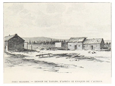
Fort Selkirk
A key trading post on the Yukon River with deep First Nations roots. It became a supply stop during the gold rush but was abandoned due to isolation. Now a beautifully preserved historic site.
Clinton Creek
A modern ghost town built for an asbestos mine. When the mine closed in 1978, the entire community of 1,500 was abandoned, leaving behind houses, a school, and a recreation center.
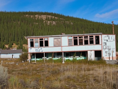
Elsa
The company town for the rich silver mines of the Keno Hill district. At its peak, it was a bustling community, but it faded after the last major mine closure in the late 1980s.

Grand Forks
Once the second-largest community in the Klondike, located at the junction of Bonanza and Eldorado Creeks. The town was completely erased by industrial gold dredging operations in the 1920s, leaving no trace.
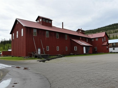
Bear Creek
Not a residential town but a large industrial complex for the Yukon Consolidated Gold Corporation. It housed workers and processed Klondike gold. Now a fascinating preserved site managed by Parks Canada.
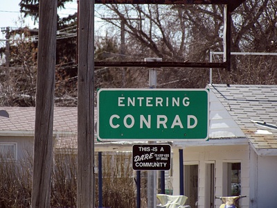
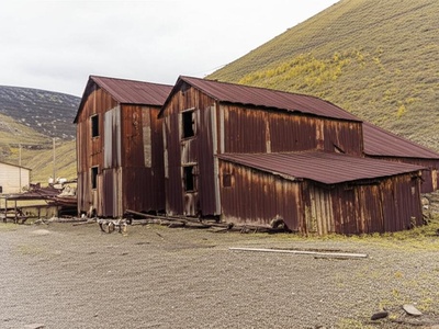
Conrad
A silver mining boomtown on Windy Arm of Tagish Lake, founded by “Colonel” John Conrad. The town collapsed when ore quality proved poor. Some buildings and mining equipment can still be found.
Canyon City
A boomtown near Miles Canyon that served stampeders on their way to the Klondike. The White Pass and Yukon Route railway made it obsolete almost overnight. Little remains today beyond historic markers.
Livingstone Creek
The site of a minor gold rush north of Whitehorse that created a temporary community of several hundred people. The gold quickly played out, and the settlement was abandoned, leaving behind old cabins and machinery.
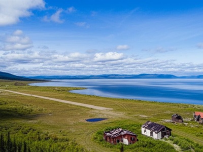
Big Salmon Village
An abandoned Northern Tutchone First Nation village at the confluence of the Big Salmon and Yukon Rivers. Residents relocated after the Alaska Highway was built, but the site remains spiritually important.
Dalton Post
A historic trading post established by Jack Dalton on a traditional First Nations trade route. It served prospectors on the Dalton Trail, an alternative route to the Klondike. Now a quiet historic site.
Aishihik Village
A traditional Southern Tutchone village on Aishihik Lake that was also the site of a major airfield during WWII. The community relocated in 1968, leaving behind cabins, a church, and airfield remnants.
Dominion
A once-thriving town on Dominion Creek, one of the richest tributaries of Indian River during the Klondike Gold Rush. It had hotels, saloons, and a post office before fading as mining consolidated.
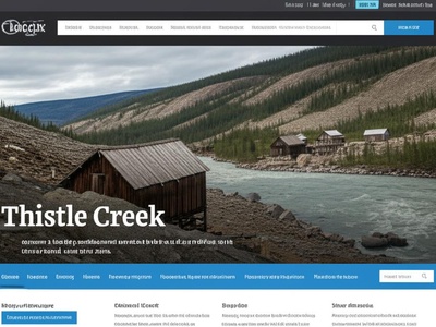
Thistle Creek
A remote mining settlement on a tributary of the Yukon River. Accessible only by boat or air, it supported a small population of miners working the local creeks. A few rustic cabins still stand.
Stewart River
An important trading post and supply point on the Yukon River before the Klondike Gold Rush. It was largely abandoned as river traffic declined and the population moved to larger centers like Dawson and Mayo.