The Mississippi-Alabama line is one of the few state borders in the country that’s almost entirely artificial. Most state lines follow a river, a ridge, or some other thing you can see from the ground. This one is mostly a ruler-straight north-south survey line, drawn in 1817 by people who’d never set foot on most of the land they were dividing. That means the towns sitting on either side of it often have more in common with each other than with their own state capitals.
This guide pairs them up. For each notable town on the Mississippi side, you’ll find the closest town across the line in Alabama, plus the county, rough population, and how far it sits from the border itself. If you’re planning a drive, tracing family that ended up “on the other side of the line,” or just settling a trivia argument, the table below is the fast answer. The profiles after it fill in the local color.
Contents
- Where the border actually runs
- Paired towns across the line
- Town profiles, north to south
- Driving across the border
- FAQ
Where the border actually runs
Start at the top. The far northeast corner of Mississippi doesn’t follow the survey line at all. Up there, Congress traced the Tennessee River so that all the river’s south-bank land would fall inside Mississippi. That’s why the line jogs east around Pickwick Lake before it ever straightens out.
From the mouth of Bear Creek south, the border becomes the famous straight line. When the Mississippi Territory was split in 1817 to create the state of Mississippi and the Alabama Territory, Congress wanted the two halves roughly equal in size and farmland. The cleanest way to do that on a map was a straight cut, so that’s what they drew. The line runs almost due south from the Tennessee River all the way down toward the Gulf, bending only near the bottom where it meets the older boundaries around Mobile and the Pascagoula drainage.
The practical upshot: for most of its length, the border ignores terrain entirely. A town can sit a mile from the line with no river or hill marking where one state ends and the next begins. The “Welcome to Alabama” sign is often the only clue.
Paired towns across the line
Here’s the quick reference. Distances to the line are approximate and measured to the nearest point on the border, not town-center to town-center.
| Mississippi town | County (MS) | Dist. to line | Nearest Alabama town | County (AL) |
|---|---|---|---|---|
| Iuka | Tishomingo | ~6 mi | Waterloo | Lauderdale |
| Columbus | Lowndes | ~10 mi | Vernon | Lamar |
| State Line | Greene / Wayne | ~1.5 mi | Red Bay | Franklin |
| Leakesville | Greene | ~20 mi | (rural Washington Co.) | Washington |
The standout pairing is State Line, Mississippi and Red Bay, Alabama. They aren’t just close; their stories are stapled to the border itself. More on that below.
Town profiles, north to south
Iuka, Mississippi <-> Waterloo, Alabama
Iuka is the seat of Tishomingo County, tucked into Mississippi’s mountainous northeast corner. “Mountainous” is relative, but Woodall Mountain, the highest point in the state, sits right here in the county. Iuka is about six miles from the Alabama line and roughly seven miles from the Tennessee River, which makes it a base for people fishing and boating Pickwick Lake.
Across the water and the line is Waterloo, Alabama, a small Lauderdale County town that’s part of the Florence-Muscle Shoals metro. The two sit on opposite banks of the Tennessee River system, so the “crossing” here is more about bridges and boat ramps than a straight drive over a survey line. This is the one stretch of the border where geography, not a surveyor, does the dividing.
Columbus, Mississippi <-> Vernon, Alabama
Columbus is the biggest city near this part of the border and the most worth a stop. It’s the seat of Lowndes County, sits about ten miles west of the line, and has one of the best-preserved collections of antebellum architecture in the South, much of it spared because the town became a hospital center during the Civil War rather than a battlefield. Tennessee Williams was born here; the house is now a welcome center.
Cross the line and you reach Vernon, the seat of Lamar County, Alabama. Lamar is bordered on its entire west side by Mississippi, so Vernon is a genuine border-county town. It’s small and quiet compared to Columbus, which is exactly why a lot of the day-to-day traffic runs westward: Columbus has the shopping, the hospital, and the airport. The pairing here is the classic border dynamic, a small Alabama county seat leaning on a larger Mississippi city next door.
State Line, Mississippi <-> Red Bay, Alabama
This is the heart of the whole topic. State Line, Mississippi is a tiny town, around 450 people at the last count, and it’s so committed to its location that it sits in two counties at once, Greene and Wayne. The town center is about a mile and a half from the Alabama border. A post office opened here in 1856, and the place incorporated in 1875, back when “the state line” was a meaningful enough landmark to name a town after.
Its Alabama counterpart, Red Bay, takes the relationship even further: the city’s western boundary is the Mississippi-Alabama state line. Founded in 1907 in Franklin County, Red Bay is the larger of the two at around 3,200 residents, and its name comes from the red clay and the redbay trees in this corner of north Alabama. If you want the single clearest example of twin towns straddling this border, it’s these two. You can stand in one state and look at the other.
Leakesville, Mississippi and the southern stretch
Down toward the bottom third of the border, the towns thin out and the country gets rural and piney. Leakesville is the seat of Greene County, Mississippi, sitting maybe twenty miles back from the line. There’s no tidy Alabama twin directly across here; the nearest Alabama land is the sparsely populated reaches of Washington County, where the nearest real towns are a good drive farther east. This is the quiet end of the border, more timber and creek bottoms than crossings.
Driving across the border
If you’re actually making the trip, a few practical notes:
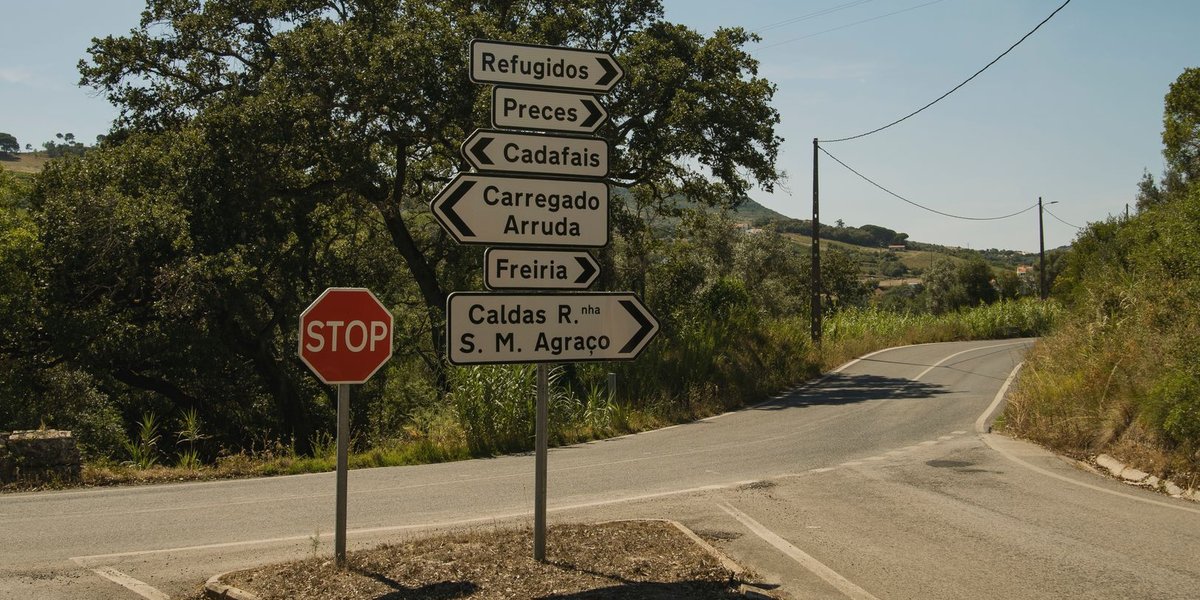
- There’s no checkpoint, toll, or fanfare. On the straight-line section you’ll cross from a back road in one state to a back road in the other, marked by a sign and a change in the road-surface color where the two DOTs meet.
- The fastest east-west routes through the middle of the border use US-82 (through the Columbus area) and US-72 up north near the Tennessee River. Those carry the real traffic; the county roads between border towns are scenic but slow.
- Time zones don’t change. Both states sit entirely in Central Time, so unlike some state crossings, you won’t lose or gain an hour stepping over this particular line.
- Up north, plan around the water. Near Iuka and Waterloo, the Tennessee River and Pickwick Lake mean your “shortest” route may involve a specific bridge. Check the map before assuming you can drive straight east.
FAQ
What is the closest Alabama town to the Mississippi border? Red Bay, Alabama is the clearest answer. Its western city limit runs right along the state line, putting it about as close as a town can get. State Line, Mississippi is its near-mirror on the other side.
Is the Mississippi-Alabama border a straight line? Mostly. From the Tennessee River south, it’s a nearly straight north-south survey line drawn in 1817 to split the old Mississippi Territory into roughly equal halves. The exceptions are the far northeast corner, where the border follows the Tennessee River, and the far south, where it meets older colonial-era boundaries.
Which Mississippi town actually sits in two counties? State Line, Mississippi straddles both Greene and Wayne counties, which is unusual for a town of its size.
Which counties run along the Mississippi-Alabama line? On the Mississippi side, border counties include Tishomingo, Lowndes, Greene, and Wayne, among others. On the Alabama side they include Lauderdale, Franklin, Lamar, and Washington. Lamar County, Alabama is bordered along its entire western edge by Mississippi.
Why does the border ignore the landscape? Because Congress drew it on paper in 1817 with a goal of splitting the territory into two roughly equal pieces of farmland, not following any natural feature. A straight line was the simplest way to do that, which is why so many border towns sit a mile or two from the line with nothing visible marking it.