Table of contents
- TL;DR
- What counts as a border town here?
- New Mexico–Texas bordering towns by region
- The biggest border cities and crossings
- Smaller towns and quieter stretches
- Quick planning notes
TL;DR
The main New Mexico–Texas border towns to know are El Paso, Texas / Sunland Park and Santa Teresa, New Mexico on the west end, and Texico, New Mexico / Farwell, Texas plus Hobbs, New Mexico / Seminole, Texas farther east if you’re including nearby border-region cities rather than towns literally sitting on the line.
If you want the clearest, most useful answer: El Paso is the big one, Sunland Park and Santa Teresa are the key New Mexico-side towns, and Texico-Clovis area towns give you the eastern border feel. The Texas-New Mexico line is long, thinly populated in places, and full of communities that are near the border without actually being straddled by it.
What counts as a border town here?
Not every place that gets called a “border town” is actually touching the state line. Some communities sit right on it, some are a few miles away, and some are really just the nearest practical stop for crossing over.
For this guide, I’m separating the towns into two useful buckets:
- True border towns: communities on or directly touching the state line
- Border-adjacent towns: nearby places that function as border communities because they’re tied to crossings, highways, or daily cross-border movement
That distinction matters. Otherwise you end up with a list that’s technically correct and practically useless.
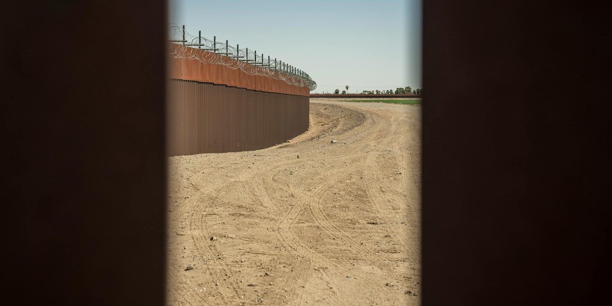
The New Mexico–Texas border runs for about 180 miles and includes a lot of wide-open country. For a state-line overview, the Texas Almanac’s border facts are a solid reference point, and the geography gets especially interesting near El Paso, where urban development spills across a line that most drivers barely notice.
New Mexico–Texas bordering towns by region
West end: El Paso, Sunland Park, and Santa Teresa
This is the part of the border most people actually recognize.
El Paso, Texas is the major city here, and it sits right against New Mexico and Mexico, which makes it a three-way border region rather than just a state-line town. On the New Mexico side, the most relevant nearby communities are:
- Sunland Park, New Mexico — immediately north of El Paso’s west side
- Santa Teresa, New Mexico — farther west, near the major commercial border crossing and logistics corridor
- Anthony, New Mexico / Anthony, Texas — a classic border split by the state line, with the town itself extending around the crossing area
Anthony is one of the cleaner examples of a true border community. The place is divided by the line, but it functions as one place in daily life. That’s the kind of geography people mean when they search for border towns.
The region is tied to major highways like I-10, which keeps traffic moving between Las Cruces, El Paso, and points east and west. For road travelers, this is the easiest part of the border to understand because the towns are visible, connected, and heavily used. For a broader list of Texas–New Mexico border towns, see Texas-New Mexico Border Towns: The Complete List.
Central border area: Guadalupe County and the quiet middle
Once you move away from El Paso, the border gets quieter fast.
There aren’t many large towns sitting directly on the New Mexico–Texas line in the central stretch. Instead, you get smaller communities and open land. That’s normal. This border isn’t lined with twin cities the way some international borders are.
The Roosevelt County / Bailey County / Curry County stretch farther east features communities that are nearby rather than pinned to the line. In practical terms, the towns people usually ask about include:
- Texico, New Mexico
- Farwell, Texas
- Clovis, New Mexico as the nearest larger service center for the eastern side of the New Mexico plains
Texico and Farwell are close enough to be treated as paired border communities. They sit in the eastern New Mexico plains, where the state line is part town marker and part local identity.
Eastern border region: Texico and Farwell
This is the cleanest east-side border pair.
Texico, New Mexico and Farwell, Texas are separated by the state line but connected by day-to-day traffic, schools, commerce, and the usual small-town reality that doesn’t care much about state boundaries. If you’re mapping New Mexico border towns near Texas, these are the names to keep in your notes.
Clovis isn’t on the line, but it matters because it’s the nearest larger city in the area and the practical hub for supplies, lodging, and services. The eastern border country is flatter, more agricultural, and less dramatic than the El Paso end, but that’s part of its appeal. No traffic circus. Just roads, grain elevators, and a lot of sky.

The biggest border cities and crossings
El Paso, Texas / Sunland Park and Santa Teresa, New Mexico
This is the heavyweight border zone.
El Paso is the largest city on the Texas side and one of the largest urban centers on the entire U.S.–Mexico border. On the New Mexico side, Sunland Park and Santa Teresa are the key neighboring places. Santa Teresa in particular has become important for freight and industrial growth because of its crossing and logistics role.
If your question is really about Texas New Mexico border cities, this is the answer most people are after.
A few useful landmarks:
- Santa Teresa Port of Entry — significant for commercial traffic
- I-10 — the main east-west artery through the region
- US-54 and local connectors — important for regional movement
For general border-travel context, the Federal Highway Administration has background on major route planning and crossings, while local port-of-entry information is best checked through U.S. Customs and Border Protection when you’re timing a trip.
Anthony, New Mexico / Anthony, Texas
Anthony is smaller, but it’s one of the most obvious literal border towns on the line. The state boundary runs through the community, and the town name appears on both sides.
This is the place to study if you want a simple example of a town split between states. It’s not flashy. It doesn’t need to be. It’s just one of the few places where the border question has an easy answer.
Texico, New Mexico / Farwell, Texas
Far from the bustle of El Paso, this pair gives you the eastern version of a border town relationship.
Texico and Farwell are small, practical, and closely linked. They’re the kind of places where the border matters on paper, but daily life is shaped more by farming, local schools, and regional roads than by state politics.
For geographic context, the U.S. Census Bureau is useful when you want to compare population size and settlement patterns across these border communities.
Smaller towns and quieter stretches
A lot of people search for New Mexico–Texas border towns and expect a long list of city pairs. The truth is simpler: outside the El Paso area, the border is sparse.
That means several towns that show up in search results are really border-region towns rather than towns directly on the line. Examples include:
- Hobbs, New Mexico
- Lovington, New Mexico
- Seminole, Texas
- Brownfield, Texas
These places matter because they’re part of the broader travel and economic pattern of southeastern New Mexico and west Texas, but they are not literal line towns in the way Anthony or Texico are.
If your goal is relocation, trucking, or a road trip, those inland towns can still be the more useful answer. They have more services, more lodging, and more reason to stop.
Quick planning notes
A few practical things make the New Mexico–Texas border different from the kind of “border town” list that sounds neat in theory but falls apart in real life:
- El Paso dominates the west end. If you’re traveling or comparing towns, start there.
- Anthony is the clearest split-town example.
- Santa Teresa matters for freight and crossings, not just for geography.
- Texico and Farwell are the best eastern pair if you want a small-town border example.
- Much of the border is rural and underpopulated, so “near the border” often matters more than “on the border.”
If you’re using a Texas New Mexico border map, the useful question isn’t just “which towns touch the line?” It’s also “which towns actually function like border towns?” That’s where the practical answer lives.
For travel planning, highway access matters more than the state line itself. The big corridors are I-10 in the west and the regional farm-to-market and U.S. routes farther east.
Summary
The best-known New Mexico–Texas bordering towns are Anthony, Sunland Park, Santa Teresa, Texico, and the paired communities around El Paso and Farwell. But the border isn’t packed with cities. It’s mostly a mix of one major urban border zone in the west and a lot of quieter ground everywhere else.
If you want the shortest possible answer, use this rule: El Paso for scale, Anthony for a true split town, Santa Teresa for border logistics, and Texico-Farwell for the eastern small-town version. That’s the real map, not the fake neat one.