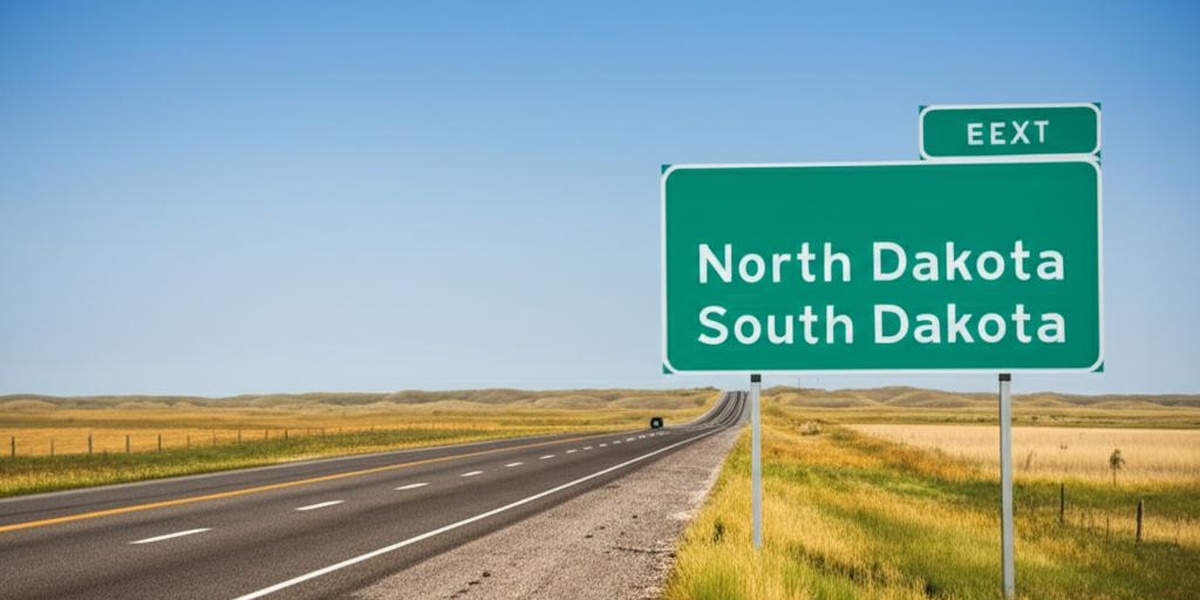
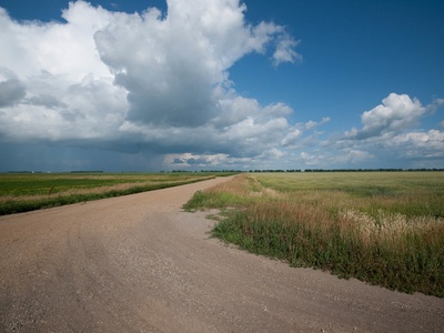
The stretch where North Dakota meets South Dakota is home to a string of small towns that speak to the region’s agricultural roots, local history, and quiet main streets. Driving or mapping this line gives a sense of how communities cluster right along state lines and how geography shapes local life.
There are 14 North Dakota – South Dakota Bordering Towns, ranging from Blackmer to Zeeland. For each entry, data is organized with State,Country,Coordinates (lat, lon) so you can quickly see jurisdiction and map locations, and you’ll find below.
How accurate are the coordinates listed?
The coordinates are intended as general town-center locations in decimal degrees; they’re good for mapping and planning but may not pinpoint a specific address. For navigation or property details, paste the coordinates into your preferred map app or cross-check with local GIS data.
Can I use this list to plan a road trip along the border?
Yes — the list is a practical starting point for route planning, but expect long stretches between services in some areas. Check driving distances, road conditions, seasonal weather, and local business hours before setting out.
North Dakota – South Dakota Bordering Towns
| Town | State | Country | Coordinates (lat, lon) |
|---|---|---|---|
| Lemmon | South Dakota | USA | 45.9328, -102.1593 |
| North Lemmon | North Dakota | USA | 45.9472, -102.1610 |
| Haynes | North Dakota | USA | 45.9525, -102.5446 |
| Petrel | North Dakota | USA | 45.9372, -102.8229 |
| Wakpala | South Dakota | USA | 45.9189, -100.3240 |
| Pollock | South Dakota | USA | 45.9036, -100.2907 |
| Westfield | North Dakota | USA | 45.9550, -100.0829 |
| Zeeland | North Dakota | USA | 45.9536, -99.7823 |
| Forbes | North Dakota | USA | 45.9542, -98.8168 |
| Frederick | South Dakota | USA | 45.9250, -98.5084 |
| Brampton | North Dakota | USA | 45.9369, -97.8423 |
| Blackmer | North Dakota | USA | 45.9567, -97.0865 |
| Victor | South Dakota | USA | 45.9178, -96.8837 |
| White Rock | South Dakota | USA | 45.9370, -96.5701 |
Images and Descriptions
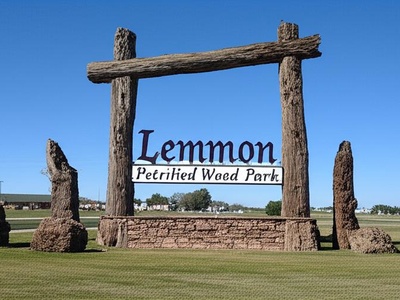
Lemmon
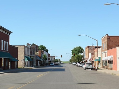
Perkins County town with a population of 1,211. Its northern city limit is the state line. Lemmon is a regional hub known for its unique Petrified Wood Park and a giant sculpture of “Kokomo” the dinosaur.
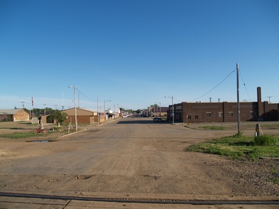
North Lemmon
Adams County unincorporated community situated directly across the state line from Lemmon, SD. It functions as a single cross-border community, with many residents working and shopping in Lemmon.
Haynes
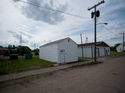
Adams County city with a population of 12. This tiny plains town is located less than 1 mile north of the state line, representing the small agricultural settlements that are common in the region’s history.
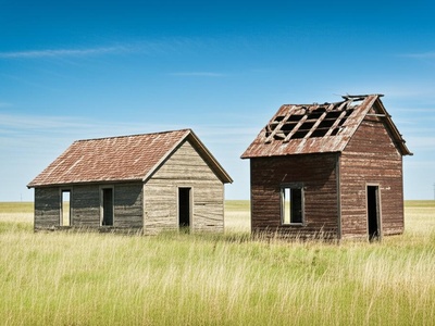
Petrel
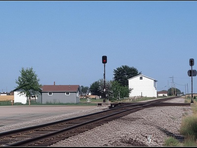
Adams County ghost town located on the state line. Now uninhabited, it was once a stop on the Chicago, Milwaukee, St. Paul and Pacific Railroad, showing the vital role railways played in settling the Dakotas.
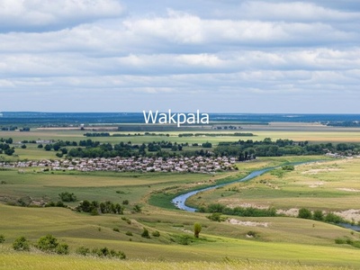
Wakpala
Corson County census-designated place with a population of 177. Located within the Standing Rock Indian Reservation, this community sits approximately 1 mile south of the North Dakota border near the Missouri River.
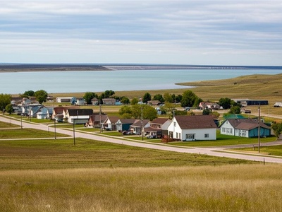
Pollock
Campbell County town with a population of 220. Located about 1 mile south of the state line on the shores of Lake Oahe. The original town was moved in 1958 to escape the rising waters from the Oahe Dam.
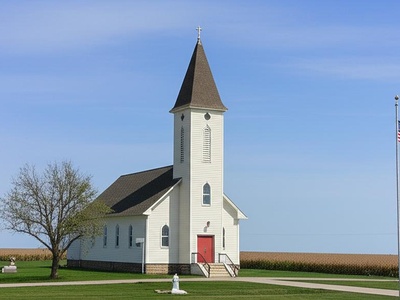
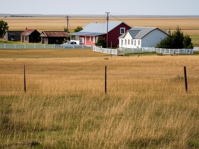
Westfield
Emmons County unincorporated community located less than 1 mile north of the border. It is a very small agricultural hamlet, distinguished by its historic St. Andrew’s Catholic Church, serving the surrounding farms.

Zeeland
McIntosh County city with a population of 81. Situated less than 1 mile north of the state line, Zeeland was founded by German immigrants from Russia, and that heritage remains a core part of its local culture.
Forbes
Dickey County city with a population of 35. Located just under 1 mile north of the state line, this small community was named for a railroad official and remains a quiet agricultural town.
Frederick
Brown County town with a population of 215. Located less than 1 mile south of the state line, Frederick is a farming community known for its annual “Crazy Days” celebration and strong local school spirit.
Brampton
Sargent County unincorporated community located directly on the state line. It is a very small railroad siding community, serving as a historical marker of the importance of railways to agriculture in the region.
Blackmer
Richland County unincorporated community located approximately 1 mile north of the state line. Once a railroad stop, it is now a quiet agricultural hamlet near the Wild Rice River.
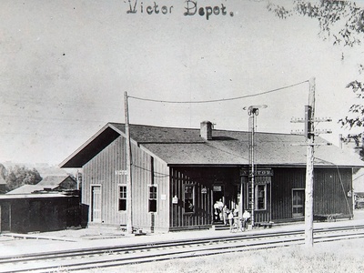
Victor
Roberts County census-designated place with a population of 12. Located within the Lake Traverse Indian Reservation, this small rural community sits about 1 mile south of the North Dakota border.
White Rock
Roberts County town with a population of 5. It is located directly on the state line at the southeasternmost point of North Dakota, where North Dakota, South Dakota, and Minnesota nearly meet.