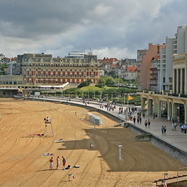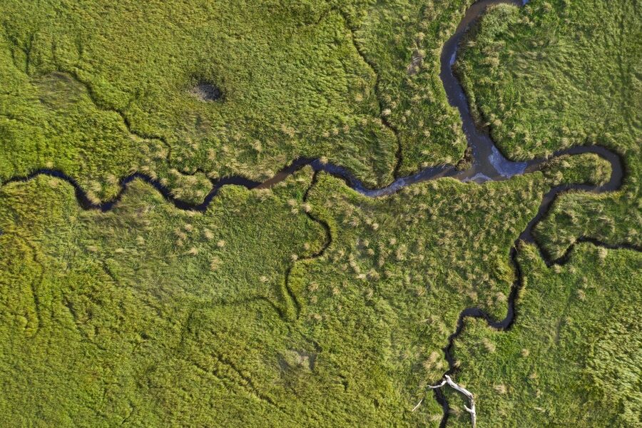
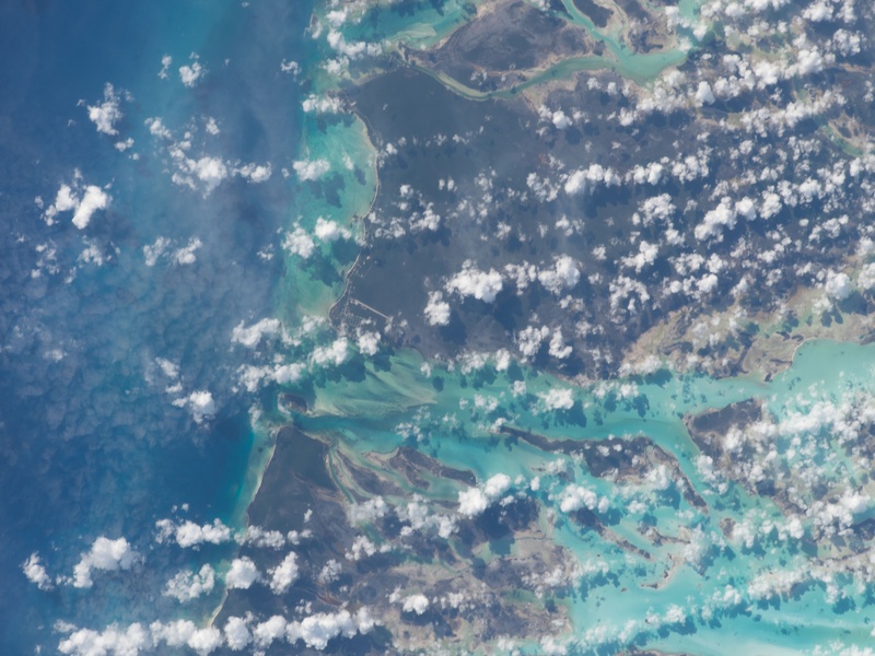
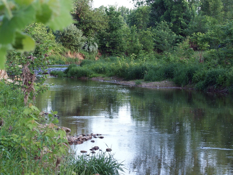
The Bahamas are often pictured as a chain of sunlit cays and blue lagoons, but modest rivers and tidal creeks quietly support local wildlife and communities across several islands. Understanding these waterways adds a different layer to exploring the archipelago beyond its beaches.
There are 30 Rivers in Bahamas, ranging from Alligator Creek to Wide Opening. The list below organizes each entry by Island, Type, Length (km) so you can quickly compare locations and sizes — you’ll find that information below.
Which of these waterways are safe or practical for paddling and swimming?
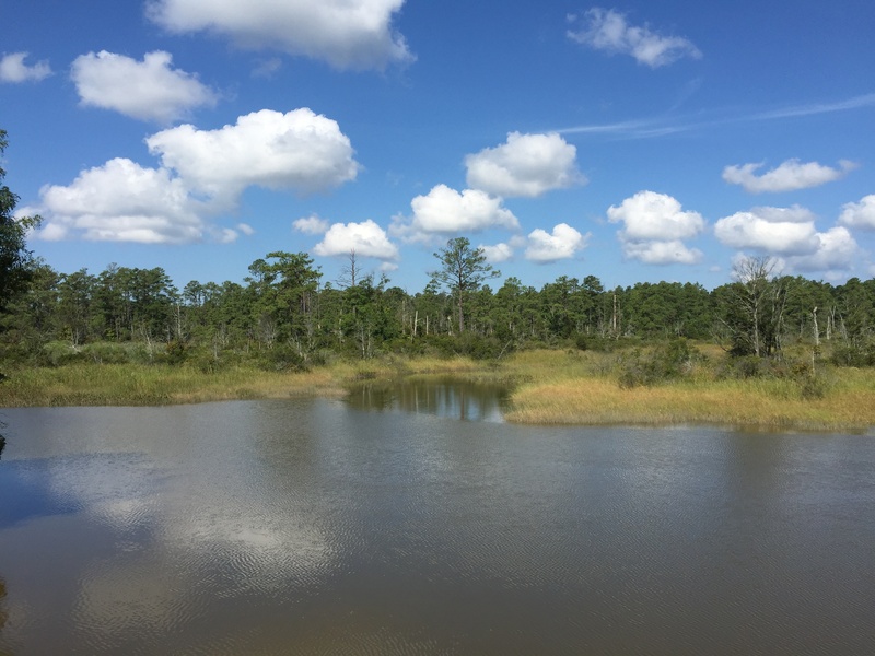
Many Bahamian rivers are narrow, shallow, or tidal, so safety and practicality depend on the specific site and season; mangrove creeks and wider outlets are generally better for calm paddling, while smaller streams may be unsuitable for swimming. Check local signage, tides, and weather, and consider hiring a local guide for unfamiliar spots.
How accurate are the listed lengths and what affects them?
Lengths come from maps, local surveys, and government or research sources, but measurements can vary with tidal influence, seasonal flow, and mapping methods; use the provided Length (km) as a general guide and consult local authorities for precise or time-sensitive data.
Rivers in Bahamas
| Name | Island | Type | Length (km) |
|---|---|---|---|
| Goose River | Andros | tidal channel | 25 (Tidal) |
| North Bight | Andros | tidal channel | 40 (Tidal) |
| Middle Bight | Andros | tidal channel | 35 (Tidal) |
| South Bight | Andros | tidal channel | 30 (Tidal) |
| Fresh Creek | Andros | tidal channel | 23 (Tidal) |
| Stafford Creek | Andros | tidal channel | 14 (Tidal) |
| Staniard Creek | Andros | tidal channel | 15 (Tidal) |
| Lisbon Creek | Andros | creek | 12 (Tidal) |
| Deep Creek | Andros | creek | 10 (Tidal) |
| Loggerhead Creek | Andros | creek | 9 (Tidal) |
| Big Cabbage Creek | Andros | creek | unknown (Tidal) |
| Sampson Creek | Andros | creek | unknown (Tidal) |
| Hawksbill Creek | Grand Bahama | tidal channel | 8 (Tidal) |
| Peterson’s Creek | Grand Bahama | creek | 3 (Tidal) |
| The Bogue | Eleuthera | tidal channel | 7 (Tidal) |
| Deep Creek | Eleuthera | creek | 4 (Tidal) |
| Turtle Creek | Great Exuma | creek | 2 (Tidal) |
| Big Creek | Great Exuma | creek | 3 (Tidal) |
| Fresh Water Creek | San Salvador | tidal channel | 1.5 (Tidal) |
| Alligator Creek | Cat Island | creek | 3 (Tidal) |
| Doyle’s Creek | Crooked Island | creek | unknown (Tidal) |
| Black Creek | Acklins | creek | unknown (Tidal) |
| Millers Creek | Long Island | creek | unknown (Tidal) |
| Cross Harbour | Abaco | tidal channel | 5 (Tidal) |
| The Marls | Abaco | tidal channel | 45 (Tidal) |
| Joe’s Creek | Andros | creek | unknown (Tidal) |
| Simon’s Creek | Andros | creek | unknown (Tidal) |
| Grassy Creek | Andros | creek | unknown (Tidal) |
| Pelican Creek | Andros | creek | unknown (Tidal) |
| Wide Opening | Andros | tidal channel | unknown (Tidal) |
Images and Descriptions
Goose River
Is a named waterway in the Bahamas that functions as a creek or tidal channel. Appears on local charts as a short, tide-driven stream rather than a true river. Fits the post as an example of named Bahamian waterways that are not permanent rivers.

North Bight
Is a shallow bay or broad inlet called a bight. Forms a wide, sheltered water area with tidal flows and flats. Serves as a named coastal feature rather than a freshwater river.
Middle Bight
Is a central bight in a chain of coastal inlets. Shows tidal mixing and shallow waters. Represents the common bight features found instead of rivers in the Bahamas.
South Bight
Is a southern bight or large bay indentation. Contains tidal channels and mud or sand flats. Illustrates the coastal features that replace rivers on many Bahamian islands.
Fresh Creek
Is a named creek or tidal channel in the Bahamas. Often carries brackish water and shows tidal influence rather than steady freshwater flow. Appears on charts and local maps as a listed waterway.
Stafford Creek
Is a named tidal creek or inlet. Shows short, tide-driven flow and may border wetlands or mangroves. Serves as a mapped water feature rather than a permanent river.
Staniard Creek
Is a recorded creek or channel that opens to coastal waters. Functions mainly under tidal control. Stands as an example of the creeks listed in Bahamian place-name records.

Lisbon Creek
Is a named tidal creek or small inlet. Often shallow and influenced by tides and storms. Qualifies for the list as a named waterway rather than a flowing river.
Deep Creek

Loggerhead Creek
Is a named tidal creek or inlet. Often lies near mangroves and serves as fish and bird habitat. Illustrates named creeks that locals and maps record instead of rivers.
Big Cabbage Creek
Is a named creek or inlet with a descriptive local name. Shows tidal flow and shallow banks. Represents community-recognized waterways rather than permanent streams.
Sampson Creek
Is a recorded creek or tidal channel. Carries brackish water and changes with tides. Appears in place-name lists and hydrographic charts.
Hawksbill Creek
Is a notable tidal creek on Grand Bahama that feeds into the harbour area at Freeport. Supports shipping channels and local development. Serves as a key example of an important named Bahamian waterway.
Peterson’s Creek
Is a named tidal creek or inlet shown on local maps. Experiences strong tidal changes and shallow channels. Qualifies for the list as a verified named water feature.
The Bogue
Is a narrow inlet or channel often called a bogue in local usage. Connects inland flats or creeks to open water and is tide-driven. Fits the post as a common coastal feature in the Bahamas.
Deep Creek
Turtle Creek
Is a named creek or small tidal channel. Often found near wetlands and used by sea life. Serves as an example of a common creek-type feature on Bahamian islands.
Big Creek
Is a named inlet or tidal creek that is larger than nearby channels. Remains influenced by tides and coastal conditions. Appears on charts as a local, named waterway.
Fresh Water Creek
Is a named channel that suggests a historic or seasonal freshwater source. Often remains brackish and tidal. Included because names with ‘fresh’ appear in Bahamian place records, even without permanent river flow.
Alligator Creek
Is a named creek or inlet recorded on maps and charts. Carries tidal water and runs through coastal flats. The name persists in place-name lists despite the Bahamas lacking native alligators.

Doyle’s Creek
Is a recorded tidal creek or small channel with a local name. Shows tides and variable flow. Appears in geographic records as a named feature rather than a continuous river.
Black Creek
Is a named tidal creek often characterized by dark, organic-rich waters or mangrove influence. Shows tidal movement and shallow banks. Represents the kinds of creeks listed in Bahamian gazetteers.
Millers Creek
Is a named creek or inlet found on local charts and maps. Experiences tidal influence and may border settlements. Qualifies as a named waterway for the post.

Cross Harbour
Is a harbour or sheltered coastal inlet used for boats and local navigation. Connects to tidal channels and serves marine traffic more than freshwater flow. Fits the list as a named coastal water feature.
The Marls
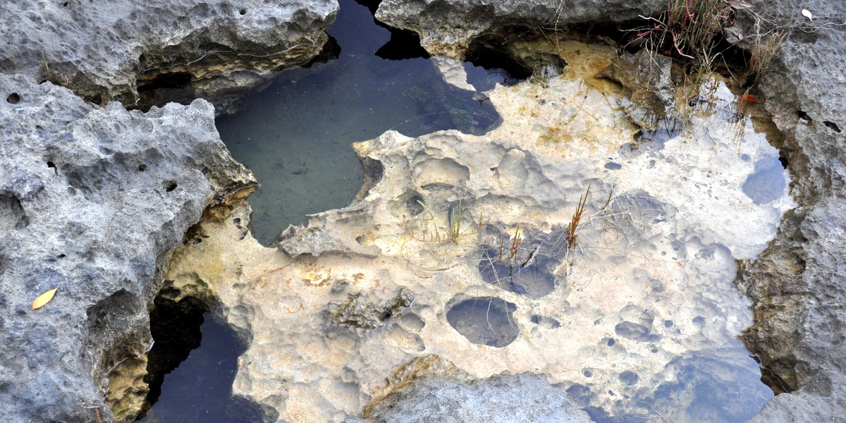
Is an area of shallow, carbonate flats with patchy seagrass and many small tidal channels. Forms a unique coastal habitat rather than a river. Includes important tidal waterways and blue holes linked to groundwater.

Joe’s Creek
Is a named creek or tidal inlet listed on local maps. Shows tide-driven water levels and shallow channels. Serves as one of many named waterways instead of permanent rivers.
Simon’s Creek
Is a recorded tidal creek or small inlet. Experiences daily tidal flushing and variable depth. Appears in place-name records as a local water feature.
Grassy Creek
Is a named tidal creek often lined with seagrass or marsh vegetation. Provides habitat for wildlife and shows strong tidal influence. Represents common creek forms across the Bahamas.
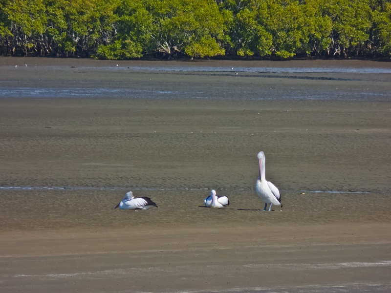
Pelican Creek
Is a named inlet or creek often used by birds and fish. Shows tidal flow and shallow banks. Stands as a named coastal waterway rather than a full river.
Wide Opening
Is a descriptive name for a broad tidal passage or gap between islands or flats. Allows strong tidal exchange and boat access. Fits the post as an example of named tidal channels that replace rivers in the Bahamas.