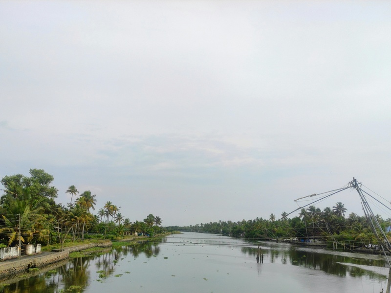
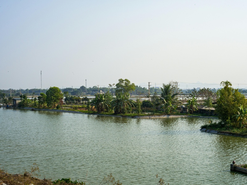
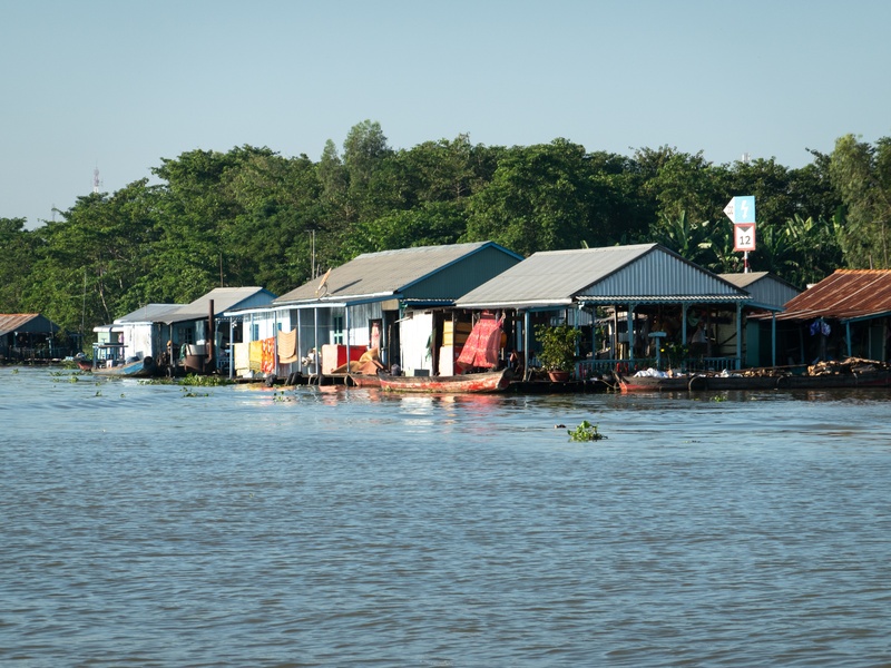
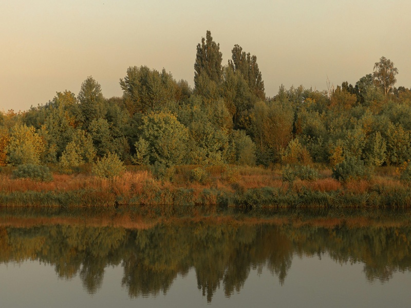
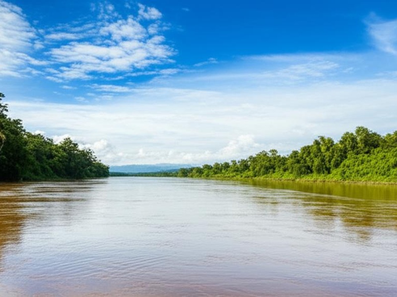
Cambodia’s rivers shape the country’s geography and daily life, flowing from upland forests through rice paddies and into expansive floodplains. They influence transport, fisheries and seasonal flooding patterns that communities rely on throughout the year.
There are 23 Rivers in Cambodia, ranging from Areng River (Stung Areng) to Tonle Sap River. For each entry you’ll find below the data organized with Province(s),Length (km),Mouth so you can quickly compare where a river runs, how long it is and where it drains.
Which rivers are most important for navigation and fishing in Cambodia?
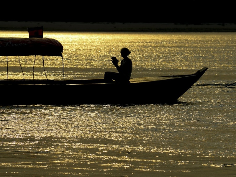
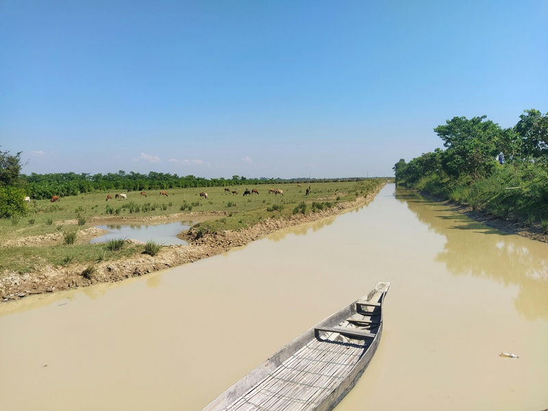
The Mekong and its connected waterways — including the Tonle Sap River — are the primary arteries for commercial transport and large-scale fisheries, while many smaller rivers (like the Areng) support local fishing, irrigation and communities; seasonal monsoon floods dramatically change navigability and fish movements, so local conditions matter.
How accurate are the length and mouth details in the list, and should I verify them?
River lengths and mouth locations are often compiled from government, academic and mapping sources but can vary by method and updates; treat the table as a useful reference and double-check official hydrological surveys or recent maps for critical uses.
Rivers in Cambodia
| Name | Province(s) | Length (km) | Mouth |
|---|---|---|---|
| Mekong | Stung Treng,Kratie,Kampong Cham,Kandal,Prey Veng | 4,350 | South China Sea via Mekong Delta in Vietnam. |
| Stung Sen | Preah Vihear,Kampong Thom | 520 | Tonle Sap Lake near Kampong Thom town. |
| Sesan River (Tonle San) | Ratanakiri,Stung Treng | 480 | Mekong River near Stung Treng town. |
| Sekong River | Stung Treng | 480 | Mekong River at Stung Treng town. |
| Srepok River (Tonle Srepok) | Ratanakiri,Stung Treng | 450 | Mekong River near Stung Treng town. |
| Chinit River (Stung Chinit) | Kampong Thom,Kampong Cham | 264 | Tonle Sap Lake’s northeastern floodplain. |
| Sangker River (Stung Sangker) | Pailin,Battambang | 250 | Tonle Sap Lake near Prek Toal Bird Sanctuary. |
| Mongkol Borei River | Banteay Meanchey,Battambang | 240 | Tonle Sap Lake. |
| Sreng River (Stung Sreng) | Oddar Meanchey,Siem Reap | 210 | Floodplain of the Tonle Sap Lake. |
| Pursat River (Stung Pursat) | Pursat | 150 | Tonle Sap Lake near Krakor town. |
| Prek Thnot River | Kampong Speu,Kandal | 130 | Drains into coastal wetlands south of Phnom Penh. |
| Tonle Sap River | Phnom Penh,Kandal,Kampong Chhnang | 120 | Mekong River at Chaktomuk confluence, Phnom Penh. |
| Chhlong River (Stung Chhlong) | Kratie,Kampong Cham | 115 | Mekong River at Chhlong district. |
| Tatai River (Stung Tatai) | Koh Kong | 110 | Gulf of Thailand near Koh Kong town. |
| Bassac River | Phnom Penh,Kandal | 100 | Distributary of the Mekong, flows to South China Sea. |
| Sre Ambel River (Stung Sre Ambel) | Koh Kong | 100 | Gulf of Thailand at Sre Ambel. |
| Te River (Stung Te) | Kratie,Mondulkiri | 100 | Mekong River in Kratie province. |
| Russei Chrum River (Stung Russei Chrum) | Koh Kong | 90 | Gulf of Thailand near Botum Sakor National Park. |
| Prek Kampi | Kratie,Mondulkiri | 90 | Mekong River at Kampi rapids. |
| Krieng River (Stung Krieng) | Kratie,Mondulkiri | 80 | Mekong River in Kratie province. |
| Prek Pra | Mondulkiri | 75 | Srepok River in Mondulkiri province. |
| Areng River (Stung Areng) | Koh Kong | 70 | Russei Chrum River in Koh Kong province. |
| Teuk Chhou River (Stung Kampot) | Kampot | 60 | Gulf of Thailand at Kampot town. |
Images and Descriptions
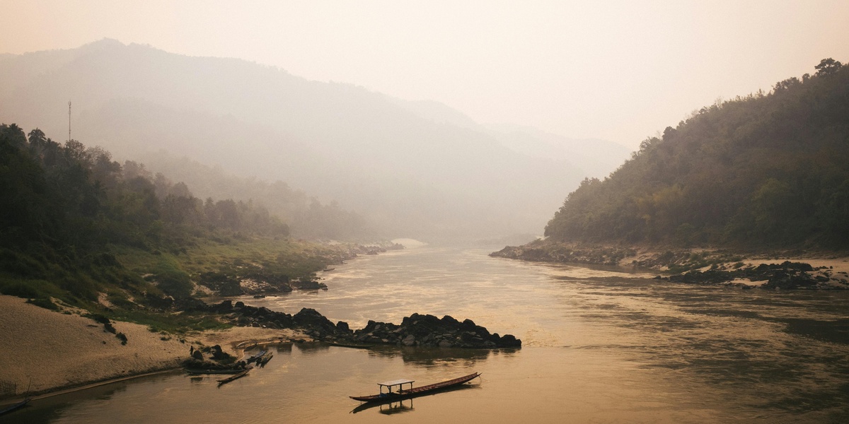
Mekong
Serve as the main river of Cambodia and Southeast Asia. Flow from the north to the south of the country and support fishing, transport, and farming. Feed the Tonle Sap system and form part of the Delta that drains to the sea.
Stung Sen
Act as a major tributary that drains into Tonle Sap Lake from the northeast. Support local rice farming and seasonal fisheries. Influence water levels in the central lake plain.
Sesan River (Tonle San)
Flow from the Central Highlands into northeastern Cambodia as a key tributary of the Greater Mekong. Support fisheries and hydropower sites in upland provinces. Affect downstream communities through seasonal floods and dry-season lows.
Sekong River
Cross from Laos into northeastern Cambodia as a large upland river. Carry water and sediments into the Mekong system. Serve local towns and rural communities along its banks.

Srepok River (Tonle Srepok)
Run from the Central Highlands through eastern Cambodia as a major tributary in the Mekong basin. Pass through rugged and forested areas and support local transport and fishing. Influence river ecology and local livelihoods.
Chinit River (Stung Chinit)
Drain central lowlands into Tonle Sap Lake near Kampong Thom. Support wetlands, rice fields, and fisheries. Act as an important local water source during the dry season.
Sangker River (Stung Sangker)
Flow through western Cambodia into the northwest part of Tonle Sap Lake. Support major towns and fertile floodplains used for farming. Play a central role in seasonal water exchange with the lake.
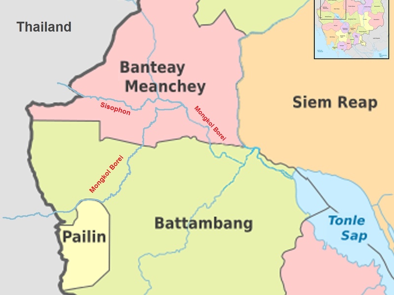
Mongkol Borei River
Run across northwest Cambodia and serve as an important local river for irrigation and transport. Support rural agriculture and market towns. Connect inland areas to larger waterways.
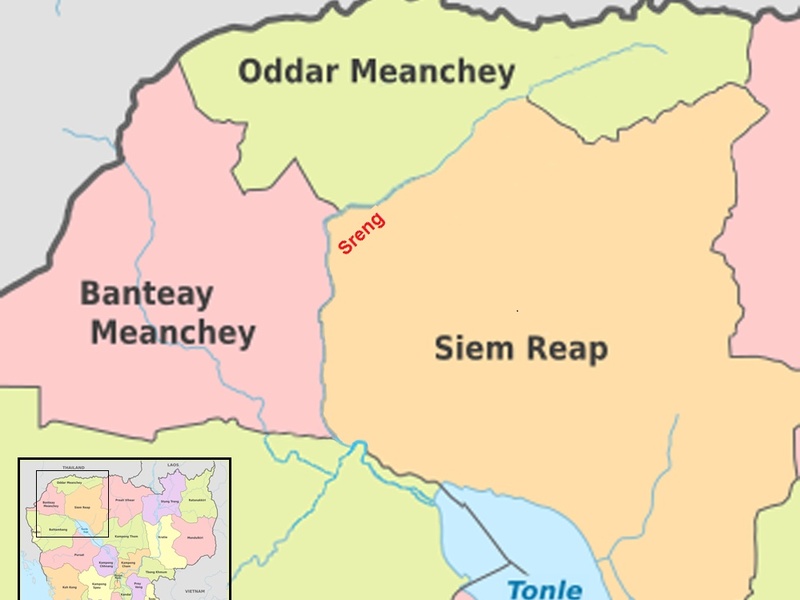
Sreng River (Stung Sreng)
Form a regional river in the northwest that feeds local floodplains and wetlands. Support small-scale farming and fishing communities. Act as one of many tributaries that shape local hydrology.

Pursat River (Stung Pursat)
Flow from the Cardamom foothills into the Tonle Sap area. Provide water for farming and local fisheries. Pass through richer agricultural zones and link upland streams to the lake.
Prek Thnot River
Serve as a smaller lowland waterway in southern or central Cambodia. Support local irrigation and village transport. Act as one of several Prek (canal or stream) waterways in the country.
Tonle Sap River
Connect Tonle Sap Lake and the Mekong at Phnom Penh. Reverse flow seasonally to fill and drain the lake. Control regional fisheries and influence floodplain agriculture.
Chhlong River (Stung Chhlong)
Run in eastern Cambodia and join larger river systems toward the Mekong. Support rural communities and irrigation. Act as a local navigation route in the wet season.

Tatai River (Stung Tatai)
Flow from the Cardamom Mountains to the Gulf of Thailand in southwest Cambodia. Provide clear upland waters, waterfalls, and forested valleys. Support local tourism, fishing, and biodiversity.
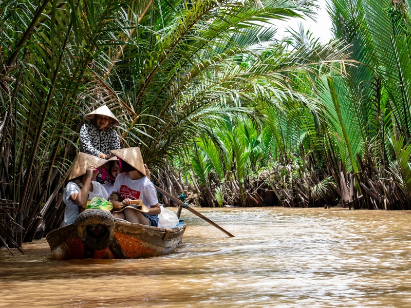
Bassac River
Form a major distributary of the Mekong at Phnom Penh and flow south into Vietnam. Support shipping and irrigation in the delta region. Act as a separate channel from the main Mekong stream.
Sre Ambel River (Stung Sre Ambel)
Run in southwest Cambodia toward the Gulf of Thailand. Drain coastal and lowland areas and support local fishing and transport. Pass through forested and agricultural landscapes.
Te River (Stung Te)
Serve as a smaller coastal or lowland river in southwest Cambodia. Carry seasonal flows to the Gulf of Thailand. Support local villages and agriculture along its banks.
Russei Chrum River (Stung Russei Chrum)
Act as a local river in southern Cambodia near coastal districts. Provide water for farming and small-scale transport. Form part of the coastal drainage network.
Prek Kampi
Function as a small branch or wetland area linked to the Mekong system. Support important fish habitat and seasonal wetlands. Appear in lists of rivers because of local ecological value.

Krieng River (Stung Krieng)
Form a minor river or stream in central or southern Cambodia. Support local irrigation and village water needs. Represent one of many smaller named waterways in the country.
Prek Pra
Serve as a lowland stream or canal that supports agriculture and local communities. Feed into larger rivers or floodplain wetlands. Act as a typical Prek waterway used for irrigation.
Areng River (Stung Areng)
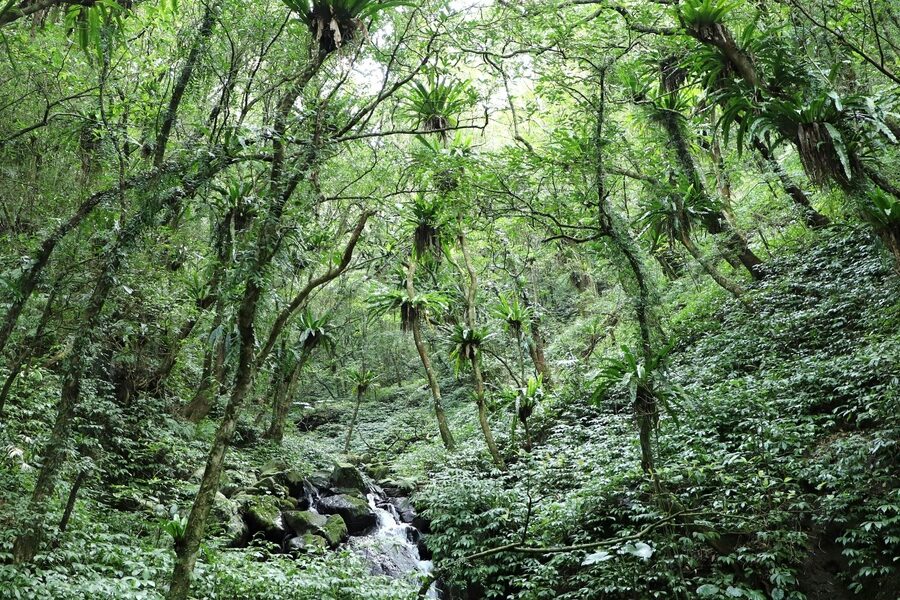
Flow from the Cardamom Mountains through a biodiverse valley in southwest Cambodia. Support forests, wildlife, and local communities. Attract attention for conservation and proposed development projects.

Teuk Chhou River (Stung Kampot)
Run through Kampot province to the sea near the coast. Support irrigation, local towns, and tourism near Kampot town. Form a key river of the southern coastal plain.