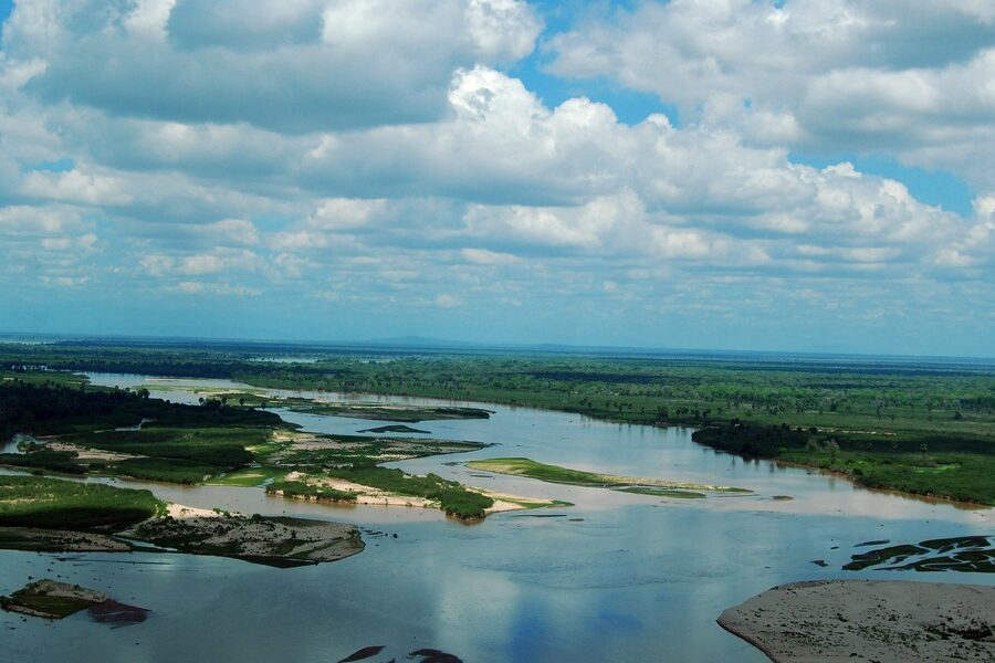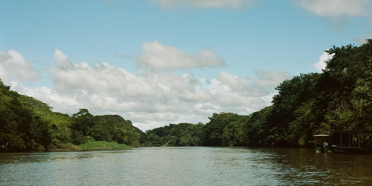
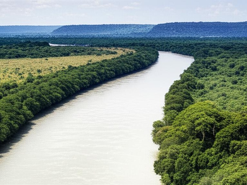
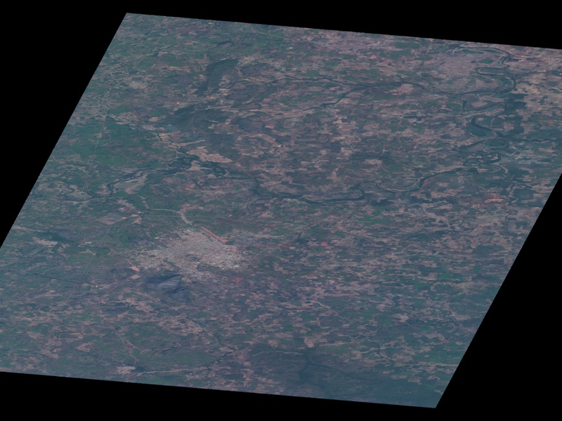
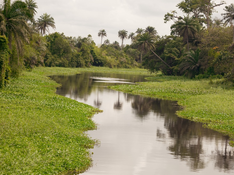
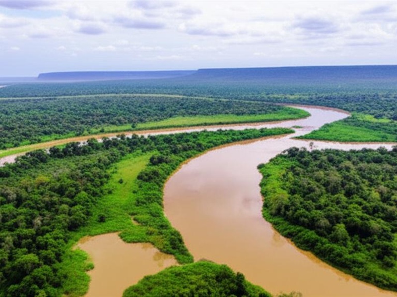
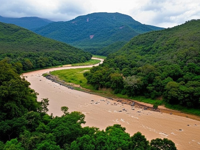
Ivory Coast’s landscape is carved by a network of rivers that shape its forests, farms and coastal plains. From wet southern lowlands to drier northern savannas, these waterways influence local livelihoods, wildlife corridors and seasonal agriculture.
There are 26 Rivers in Ivory Coast, ranging from Agneby to Yamousso. The list below is organized so that for each river you’ll find below Length (km),Mouth / Basin,Meaning / Notable (max 15 words), helping you quickly compare size, outlet and a short note about significance or name meaning; you’ll find below.
How are the country’s rivers spread across different regions?
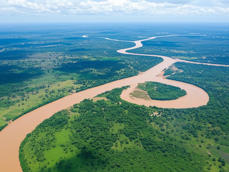
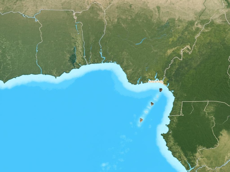
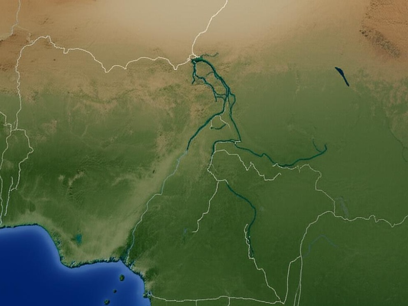
Rivers in Ivory Coast generally flow from the central and northern highlands toward the Gulf of Guinea, forming several basins (Comoé, Sassandra, Bandama, Cavally). Southern rivers tend to be shorter and steeper, while northern tributaries are longer and seasonal, reflecting rainfall patterns.
Which rivers are most useful for navigation, fishing, or irrigation?
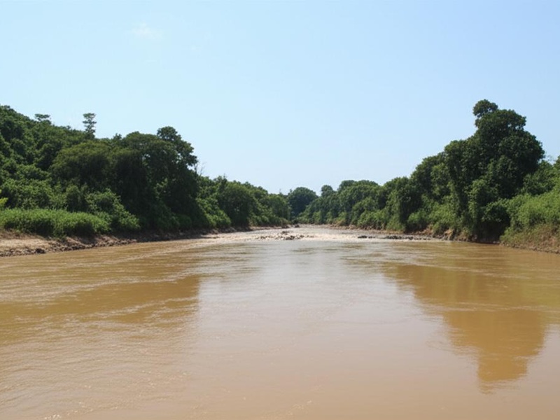
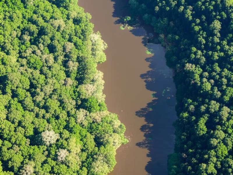
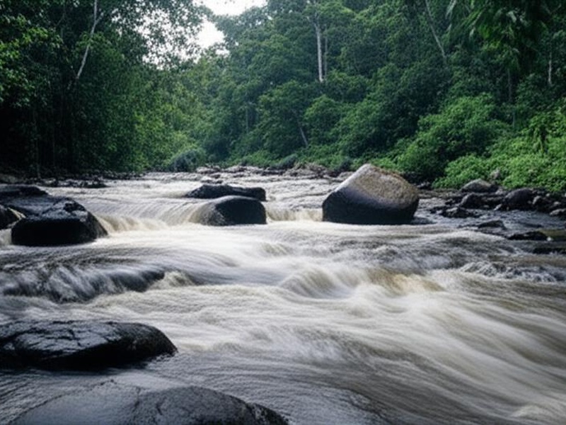
Only lower stretches of a few larger rivers (Bandama, Sassandra, Comoé) are seasonally navigable; most rivers are used locally for fishing, small‑scale irrigation and domestic water. Larger basins support more reliable water supplies near towns and agricultural areas.
Rivers in Ivory Coast
| Name | Length (km) | Mouth / Basin | Meaning / Notable (max 15 words) |
|---|---|---|---|
| Comoé | 1,160 | Atlantic Ocean | Flows through Comoé National Park, a UNESCO World Heritage site. |
| Bandama | 1,050 | Atlantic Ocean | Longest river entirely within Ivory Coast, formed by two main tributaries. |
| Black Volta | 1,300 | Volta River (Volta Basin) | Also called Volta Noire; forms part of the northeastern border. |
| N’Zi | 725 | Bandama River | The largest and most significant tributary of the Bandama River. |
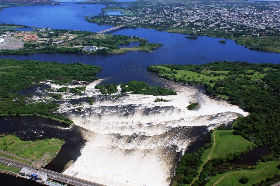
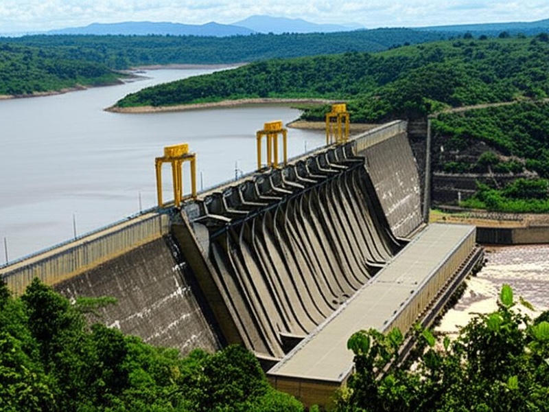
| Sassandra | 650 | Atlantic Ocean | One of the four major rivers; home to the Buyo hydroelectric dam. |
| Marahoué | 550 | Bandama River | Also known as the Red Bandama; its basin hosts Marahoué National Park. |
| Bandama Blanc | 550 | Bandama River | The White Bandama, which merges with the Marahoué to form the Bandama. |
| Cavally | 515 | Atlantic Ocean | Forms a large part of the southern border between Ivory Coast and Liberia. |
| Lobo | 418 | Sassandra River | A major tributary of the Sassandra, draining the western-central region. |
| Tanoé | 400 | Atlantic Ocean (Aby Lagoon) | Forms the southernmost border between Ivory Coast and Ghana. |
| Bagoué | 350 | Bani River (Niger Basin) | Rises in northern Ivory Coast and flows north into Mali. |
| Léraba | 340 | Comoé River | Its western branch, Léraba Occidentale, forms a border with Burkina Faso. |
| Tienba | 310 | Sassandra River | Originates in the Guinea Highlands and is a tributary of the Sassandra. |
| Bia | 300 | Atlantic Ocean (Aby Lagoon) | Known for the Ayamé I and Ayamé II hydroelectric dams. |
| Agneby | 250 | Atlantic Ocean (Potou Lagoon) | A coastal river flowing near the city of Agboville. |
| Nuon | 250 | Cavally River | Also known as Nipoué; forms a portion of the Ivorian-Liberian border. |
| Kan | 220 | N’Zi River | An important tributary of the N’zi River in the country’s central region. |
| Kankélaba | 215 | Bani River (Niger Basin) | Rises in Ivory Coast, flowing north towards the Niger River system. |
| Nion | 195 | Cavally River | A tributary of the Cavally River in the forested Monts de Toura region. |
| Dégô | 160 | Sassandra River | A tributary located in the upper Sassandra river system. |
| San-Pédro | 150 | Atlantic Ocean | Flows into the Gulf of Guinea at the major port city of San-Pédro. |
| Mé | 140 | Atlantic Ocean (Potou Lagoon) | A coastal river located just east of Abidjan, vital for local farming. |
| Gô | 140 | Sassandra River | Also known as the Bafing Sud, a tributary of the Sassandra River. |
| Boubo | 130 | Atlantic Ocean | A coastal river that empties into the sea near Grand-Lahou. |
| Davido | 115 | Sassandra River | A key western tributary of the Sassandra River. |
| Yamousso | 90 | Bandama River | A small river that flows near the nation’s capital, Yamoussoukro. |
Images and Descriptions
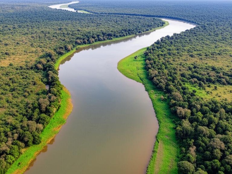
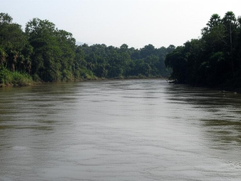
Comoé
Comoé is a major river in eastern Ivory Coast. It rises near the Burkina Faso border and flows south to the Gulf of Guinea. It runs through Comoé National Park and supports important wildlife and farms.
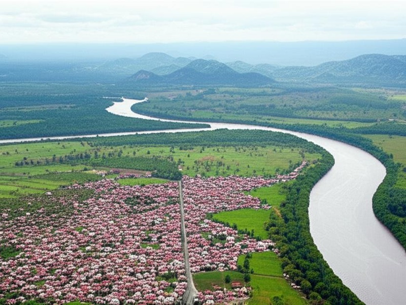
Bandama
Bandama is the longest river entirely inside Ivory Coast. It flows from the north to the south and forms Lake Kossou along its course. It drains into the Gulf of Guinea and shapes central Ivorian landscapes.
Black Volta
Black Volta is a large West African river whose basin touches northwest Ivory Coast. It mainly flows through Burkina Faso and Ghana but influences northern Ivorian watersheds. Include it for basin-level geography.
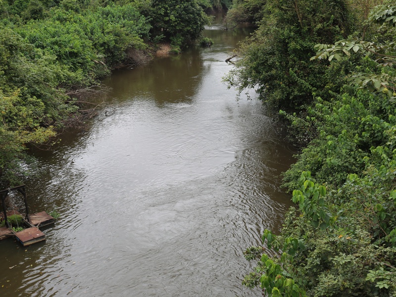
N’Zi
N’Zi is a central Ivorian river and a main tributary of the Bandama River. It flows through agricultural plains and helps feed inland waterways. It is important in the Bandama river system.
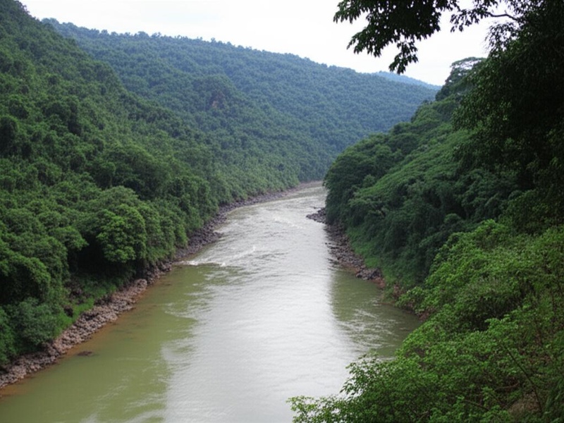
Sassandra
Sassandra is a major river in western Ivory Coast. It runs from the interior to the Gulf of Guinea near the town of Sassandra. It drains a large western basin and supports fishing and transport.
Marahoué
Marahoué is a central river and a clear tributary of the Bandama system. It flows through the Marahoué region and a national park. It matters for local farming and ecology.
Bandama Blanc
Bandama Blanc (White Bandama) is a branch or tributary within the Bandama river system. It feeds the central basin and joins other Bandama channels. Include it to show Bandama’s internal network.
Cavally
Cavally is a western river that forms much of the border with Liberia. It flows south to the Gulf of Guinea and passes through forested lands. It is important as a border and coastal waterway.
Lobo
Lobo is a smaller river in southern Ivory Coast. It drains coastal lowlands and feeds local lagoons and wetlands. It plays a role in community water use and local fishing.
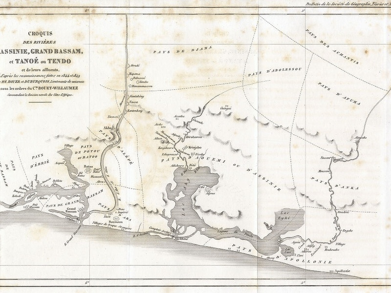
Tanoé
Tanoé (Tano) is an eastern river that helps define parts of the border with Ghana. It flows toward coastal lagoons and the Gulf of Guinea. It is part of the Tano-Bia river network.
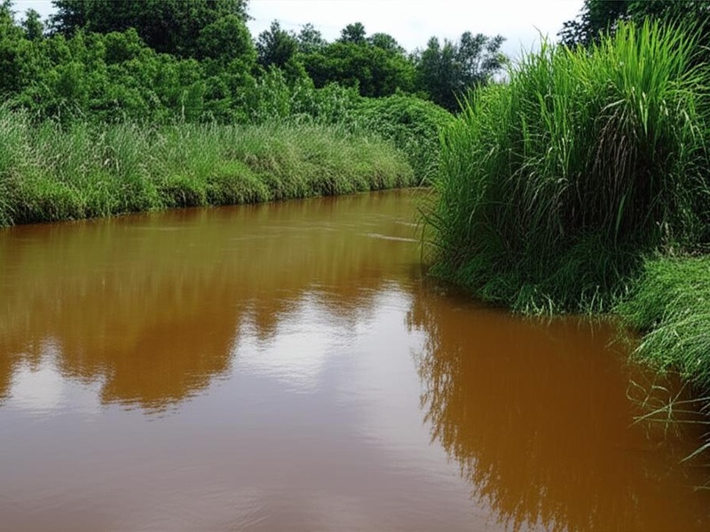
Bagoué
Bagoué is a river in northern Ivory Coast. It flows through savanna areas and feeds larger northern drainage systems. It supports dry-season irrigation and local towns.
Léraba
Léraba is a river on the northern or northwestern edge of Ivory Coast and near the Burkina Faso border. It runs through highland and savanna zones. It is included for border and northern hydrology.
Tienba
Tienba is a small river or seasonal stream in western Ivory Coast. It flows during the rainy season and supports nearby farms. It is relevant for local water studies.
Bia
Bia is a river in the southwest that links with the Tano river system. It runs through forested terrain and near protected areas. It helps define cross-border hydrology with Ghana.
Agneby
Agnéby is a southern river that drains into the Ébrié Lagoon near the coast. It flows through humid regions and supplies water to nearby towns. It is important for coastal lagoon systems.
Nuon
Nuon is a smaller river or stream in Ivory Coast. It runs in a local watershed and flows seasonally. It is included to show lesser-known local waterways.
Kan
Kan is a minor river or tributary in western or central Ivory Coast. It feeds larger rivers and serves local agriculture. It represents small-scale hydrology in the country.
Kankélaba
Kankélaba is a western Ivorian river or seasonal stream. It drains forested and rural areas and joins larger basins. It matters for local communities and ecology.
Nion
Nion is a small river in southern Ivory Coast. It flows toward coastal plains and lagoons. It is important at the village and district level for water use.
Dégô
Dégô is a local stream or small river in Ivory Coast. It runs seasonally and supports nearby agriculture. Include it for a complete view of small waterways.
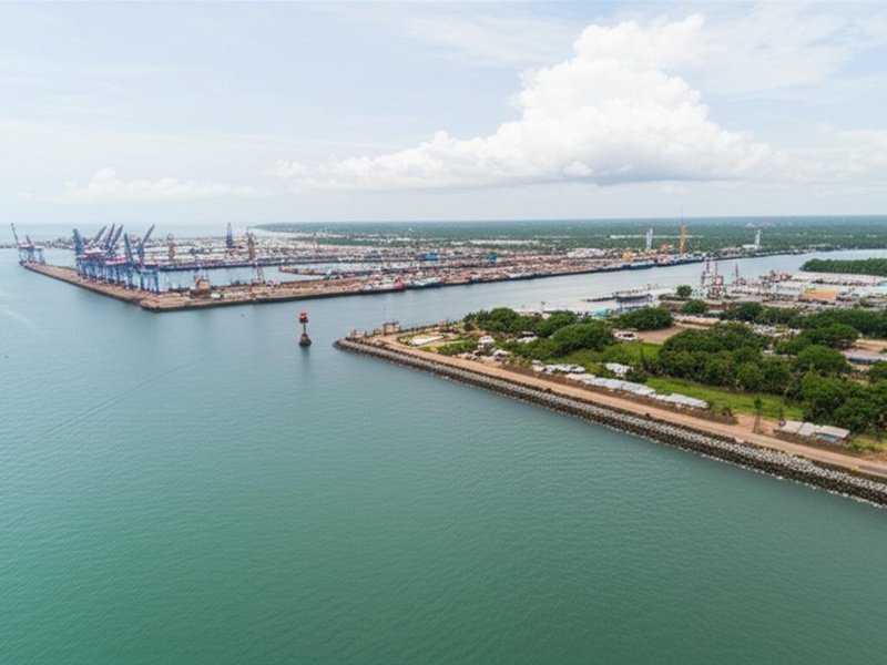
San-Pédro
San-Pédro is a coastal river near the port city of San-Pédro. It drains to the Gulf of Guinea and serves the port region. It is notable for coastal transport and fishing.
Mé
Mé is a river in western Ivory Coast that flows toward the coast. It drains forest and agricultural land and reaches the Gulf of Guinea. It is a regionally important waterway.
Gô
Gô is a small tributary or river in Ivory Coast. It feeds larger river networks and serves local ecosystems. It is included to represent smaller channel systems.
Boubo
Boubo is a coastal or lowland river in southern Ivory Coast. It drains wetlands and supports mangrove or lagoon areas. It matters for local fisheries and wetlands.
Davido
Davido is a minor stream or river in Ivory Coast. It flows within a local watershed and is seasonal in parts. It is included for completeness of the national river list.
Yamousso
Yamousso is a river or stream near central Ivory Coast, likely close to Yamoussoukro. It feeds the central drainage network and local reservoirs. It is relevant to central-region hydrology.