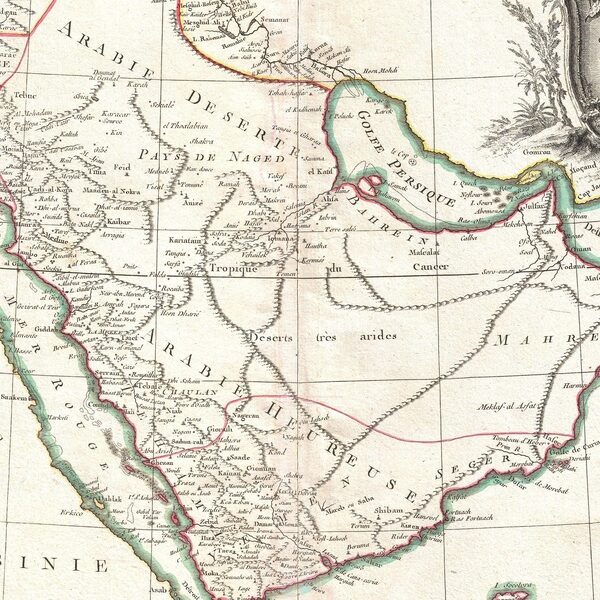
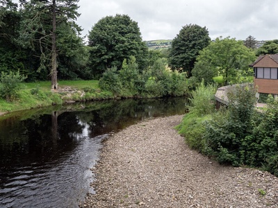
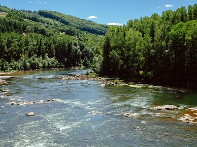
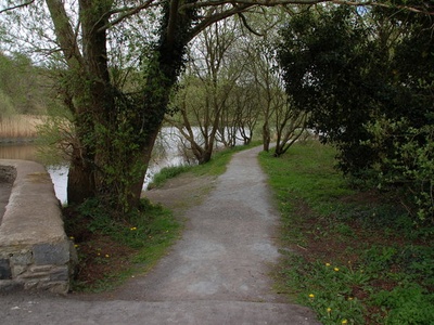
Northern Ireland’s waterways run through glens, towns and farmland, shaping scenery and local life. They mark county lines, feed reservoirs and offer routes for walks, wildlife watching and quiet reflection.
There are 33 Rivers in Northern Ireland, ranging from Ballinderry River to Six Mile Water. For each river, you’ll find below data organized with columns Length (km), Counties, Mouth/Basin so you can compare size and location — you’ll find below.
How reliable are the lengths and county listings in this list?
River lengths and county assignments come from maps and local records and are intended as a useful reference rather than survey-grade measurements. Lengths are often rounded and some rivers cross multiple counties or change course, so use this list as a starting point and check current maps or local authorities for detailed planning.
Can I use the list to plan walks, fishing or other activities?
Yes — the list helps identify rivers by size and where they flow, but access, fishing permits, safety and seasonal conditions vary. Confirm land access, local regulations and river conditions before visiting, and follow Leave No Trace principles.
Rivers in Northern Ireland
| Name | Length (km) | Counties | Mouth/Basin |
|---|---|---|---|
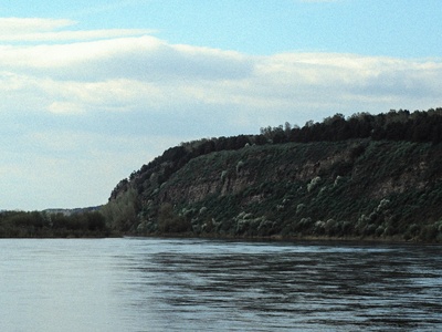
| River Bann | 129 | Antrim,Londonderry,Tyrone | Atlantic Ocean (via Lough Neagh) |
| River Foyle | 129 | Londonderry,Donegal,Tyrone | Atlantic Ocean (Lough Foyle) |
| River Lagan | 53 | Antrim,Down | Belfast Lough |
| River Erne | 120 | Fermanagh,Cavan,Donegal | Atlantic Ocean (via Lough Erne) |
| River Blackwater | 111 | Armagh,Tyrone,Monaghan | Lough Neagh |
| River Roe | 77 | Londonderry,Tyrone | Lough Foyle |
| River Bush | 54 | Antrim | Atlantic Ocean (North Antrim coast) |
| Moyola River | 32 | Antrim | Lough Neagh |
| Six Mile Water | 52 | Antrim | Lough Neagh |
| River Braid | 30 | Antrim | Atlantic Ocean (via the Braid Valley) |
| River Maine | 34 | Antrim | Lough Neagh |
| Ballinderry River | 51 | Tyrone,Londonderry | Lough Neagh |
| River Camowen | 44 | Tyrone | River Strule (Foyle basin) |
| River Strule | 39 | Tyrone | River Foyle |
| River Derg | 72 | Tyrone,Donegal | River Mourne (Foyle basin) |
| River Finn | 63 | Donegal,Tyrone | River Foyle |
| River Mourne | 35 | Tyrone | River Foyle |
| River Deele | 45 | Donegal,Tyrone | River Foyle |
| River Faughan | 48 | Londonderry | Lough Foyle |
| Clanrye River | 34 | Down,Armagh | Carlingford Lough |
| River Quoile | 22 | Down | Strangford Lough |
| River Newry | 28 | Down,Armagh | Carlingford Lough |
| River Arney | 31 | Fermanagh | Upper Lough Erne |
| River Owenkillew | 27 | Tyrone | River Strule (Foyle basin) |
| River Clady | 38 | Londonderry | River Bann |
| River Gweestin | 18 | Armagh | Lough Neagh |
| River Blackwater (Kells) | 47 | Armagh,Monaghan | Lough Neagh |
| River Callan | 29 | Antrim | Lough Neagh |
| River Six Mile Water (alternate entry) | 52 | Antrim | Lough Neagh |
| River Forkhill | 15 | Armagh | Carlingford Lough |
| River Glenelly | 34 | Tyrone | River Owenkillew (Foyle basin) |
| River Ban | 20 | Antrim | Belfast Lough |
| River Roe (tributary example) | 77 | Londonderry,Tyrone | Lough Foyle |
Images and Descriptions
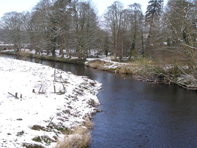
River Bann
The River Bann is Northern Ireland’s longest river, linking Lough Neagh to the Atlantic. It passes through fertile floodplains, supports salmon and eel runs, and offers boating, fishing and scenic towpaths popular with walkers and wildlife watchers.
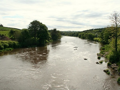
River Foyle
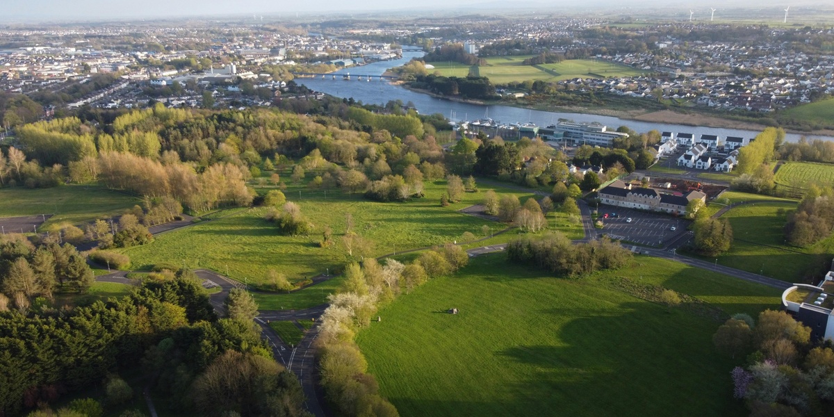
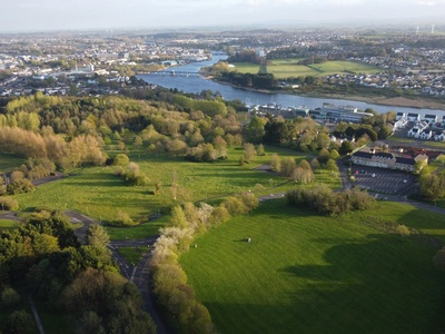
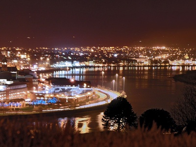
Formed by the Finn and Mourne, the Foyle flows through Derry~Londonderry to Lough Foyle. Important historically and commercially, it has tidal stretches, busy quays at Derry, and rich estuarine birdlife, with popular angling and ferry crossings.
River Lagan
The Lagan runs through Belfast from County Down into Belfast Lough, shaping the city’s waterfront. It’s central to recreation, riverside trails and urban regeneration projects, with salmon and trout runs upstream and popular rowing and boating sections.
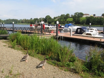
River Erne
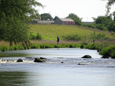
The Erne system, centred on Upper and Lower Lough Erne, threads Fermanagh with linked waterways, islands and wetlands. It’s a boating and angling haven, internationally important for waterbirds and a cornerstone of local tourism and heritage.
River Blackwater
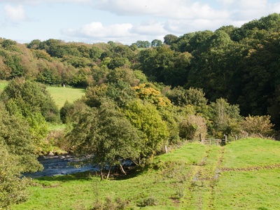
The Ulster Blackwater drains a large rural catchment into Lough Neagh. Known for dramatic wooded valleys and trout angling, it skirts historic sites and powers small mills; a key river for biodiversity in central Ulster.
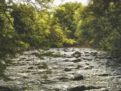
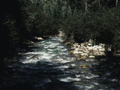
River Roe
Flowing from the Sperrin Mountains to Lough Foyle, the Roe is famed for salmon fishing and scenic gorges near Limavady. It supports rich riparian habitats and is popular with anglers, walkers and local conservation groups.
River Bush
The Bush runs to the North Antrim coast at Portballintrae, passing through the Giant’s Causeway area. Noted for salmon and sea trout, it supports local angling traditions and scenic valley walks near Bushmills.
Moyola River
A small but significant Lough Neagh tributary, the Moyola threads rural Antrim countryside with historic bridges and mills. It’s valued locally for coarse fishing, wetland birds and peaceful valley scenery near Castledawson.
Six Mile Water
Rising near Parkgate and flowing to Lough Neagh, Six Mile Water passes through Antrim towns and industrial heritage sites. Its riverside trails and nature pockets are popular for walking; historically it powered mills along its route.

River Braid
The Braid runs through Ballymena and the Braid Valley, a scenic watercourse with wooded sections and fishing spots. Locally important for recreation and community riverside paths, it adds to Antrim’s rural charm.
River Maine
The River Maine drains parts of mid-Antrim into Lough Neagh near Toome. Known for coarse fishing and agricultural landscapes, it runs through historical market towns and forms attractive riverside corridors valued by locals.
Ballinderry River
The Ballinderry flows into Lough Neagh, forming meandering stretches through farmland and marshes. It supports local angling, waterfowl habitat and scenic walking spots, bridging communities on both county sides of its course.
River Camowen
The Camowen rises near Omagh and joins other streams to form the Strule. It threads urban and rural landscapes, offering walks through Omagh and supporting trout fishing and local biodiversity initiatives.

River Strule
Formed by the Camowen and Drumragh, the Strule flows through Omagh and meets other tributaries to help form the Foyle. It’s central to local heritage, angling for salmon and trout, and riverside recreation.
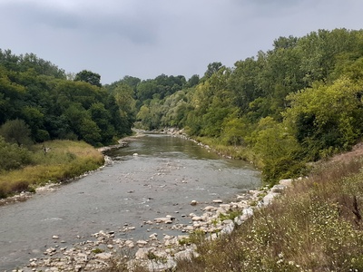
River Derg
The Derg begins in the Sperrins and joins the Mourne to help form the Foyle. With upland scenery, salmon runs and popular fishing beats, it’s valued for outdoor pursuits and rural landscapes.
River Finn
The Finn drains a wide upland area, meeting the Mourne to create the Foyle. Celebrated for salmon angling, it flows through rugged countryside and supports important freshwater habitats and local fishing traditions.
River Mourne
The Mourne rises in County Tyrone and joins the Finn at Strabane to form the Foyle. A fast-flowing upland river, it is prized for salmon and trout fishing and for scenic valleys popular with local walkers.

River Deele
The Deele flows through parts of Donegal and into the Foyle system, meandering past historic towns and peatlands. It supports coarse fishing, birdlife and rural recreation, linking cross-border communities.
River Faughan
The Faughan flows through County Derry to the Foyle, draining the foothills of the Sperrins. Known for salmon and trout, it has accessible fishing beats and riverside trails favored by anglers and nature enthusiasts.
Clanrye River
Running through Newry as the Clanrye, this river reaches Carlingford Lough and shapes the town’s historic core. It’s noted for urban riverside heritage, local fishing, and past mill sites lining its course.
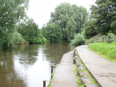
River Quoile
A short river feeding Strangford Lough, the Quoile is famed for estuary birdlife and the Quoile Marshes Nature Reserve. Its tidal reaches and historic Quoile Mill attract walkers, birdwatchers and local historians.
River Newry
Often called the Newry or Clanrye/Newry River, it links inland Newry to Carlingford Lough. Historically significant for navigation and mills, today it supports small craft, angling and riverside urban regeneration.
River Arney
The Arney drains remote west Fermanagh into Upper Lough Erne, passing through sheltered valleys and wetlands. It’s quiet and scenic, valued for birdlife, coarse fishing and access to the loughs for boating.

River Owenkillew
A tributary in west Tyrone, the Owenkillew winds from upland bogs into the Strule. It supports trout fishing and peatland habitats and passes through tranquil rural scenery with scattered historical features.
River Clady
The Clady runs through County Londonderry to join the Bann, draining upland areas and passing through small towns. It offers local angling, riverside walks and contributes to the Bann’s wider catchment ecology.
River Gweestin
A smaller Lough Neagh tributary in County Armagh, the Gweestin courses through agricultural land and woodlands. Locally important for coarse fishing and wetland birds, it supports tranquil riverside walking and rural habitats.
River Blackwater (Kells)
A separate Blackwater (sometimes called the Kells Blackwater) feeds into Lough Neagh from the south. It passes historic towns and farmland, offering fishing, scenic riverbanks and a link between border counties.
River Callan
The Callan drains parts of east Antrim into Lough Neagh, flowing through wooded valleys and farmland. It’s valued for coarse fishing, local nature interest, and traditional bridges and mill sites along its route.
River Six Mile Water (alternate entry)
Cutting through picturesque villages and industrial heritage sites, Six Mile Water is a notable Antrim river for walkers and anglers; its towpaths and riverside greenspace are used for community recreation and nature study.
River Forkhill
A small cross-border river in south Armagh flowing towards Carlingford Lough, Forkhill supports local wetland habitats and rural recreation; it’s notable for pastoral scenery and proximity to historic border landscapes.
River Glenelly
Rising in the Sperrins, the Glenelly flows through a scenic valley into the Owenkillew. Known for upland scenery, it attracts walkers and anglers and conserves important upland riverine habitats.
River Ban
A short coastal river entering Belfast Lough, the Ban (not to be confused with the Bann) passes through suburban and rural areas, offering local angling, birdlife and accessible riverside walks.
River Roe (tributary example)
The Roe’s upland reaches and lower tidal estuary are prized for salmon runs and scenic gorges; towns like Limavady showcase its recreational and ecological importance, with well-used angling beats and conservation efforts.