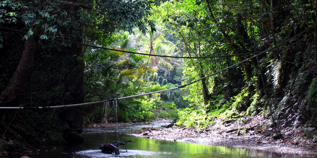
The rivers of the Solomon Islands weave through volcanic highlands, mangrove fringes and coastal plains, supporting villages, fisheries and unique habitats. These waterways are often short but ecologically important, and knowing their locations helps with travel, research and conservation planning.
There are 50 Rivers in Solomon Islands, ranging from Aola to Zongga. For each entry you’ll find below Island/Province, Coordinates (lat,long) and Length (km), organized so you can scan locations, map points and compare sizes quickly — you’ll find below.
How reliable are the coordinates and length measurements listed here?
Most coordinates and lengths are based on a combination of official maps, satellite imagery and local surveys; small rivers may have approximate lengths and rounded coordinates, so use this list as a starting point and verify critical details against primary sources or recent satellite data.
Can I use this list for mapping or academic work?
Yes — the list is intended for reference and preliminary mapping, but for formal publications or navigation, corroborate with up-to-date government datasets or field measurements and cite the original sources you consult.
Rivers in Solomon Islands
| Name | Island/Province | Coordinates (lat,long) | Length (km) |
|---|---|---|---|
| Matanikau | Guadalcanal | -9.43, 159.94 | 21 |
| Lungga | Guadalcanal | -9.39, 160.05 | 52 |
| Tenaru | Guadalcanal | -9.42, 160.11 | 35 |
| Ngalimbiu | Guadalcanal | -9.37, 160.22 | 65 |
| Mberande | Guadalcanal | -9.38, 160.42 | 73 |
| Metapona | Guadalcanal | -9.38, 160.31 | 50 |
| Mbokokimbo | Guadalcanal | -9.40, 160.52 | 48 |
| Poha | Guadalcanal | -9.38, 159.83 | 28 |
| Bonegi | Guadalcanal | -9.39, 159.87 | 19 |
| Tina | Guadalcanal | -9.58, 160.19 | 55 |
| Aola | Guadalcanal | -9.48, 160.67 | 30 |
| Umasani | Guadalcanal | -9.37, 159.78 | 25 |
| Itina | Guadalcanal | -9.81, 160.33 | 45 |
| Mbalisuna | Guadalcanal | -9.37, 160.36 | 60 |
| Mongga | Guadalcanal | -9.75, 160.71 | 22 |
| Tenavatu | Guadalcanal | -9.38, 160.18 | 20 |
| Kolombangara | Choiseul | -7.06, 156.97 | 42 |
| Vurulato | Choiseul | -7.00, 156.76 | 35 |
| Sasamungga | Choiseul | -6.93, 156.71 | 29 |
| Susuka | Choiseul | -7.23, 157.11 | 31 |
| Tambatamba | Choiseul | -6.75, 156.55 | 25 |
| Oaka | Choiseul | -7.14, 157.06 | 20 |
| Zongga | Choiseul | -6.94, 156.84 | 18 |
| Vacho | Choiseul | -6.83, 156.57 | 23 |
| Warihito | Makira | -10.66, 162.13 | 56 |
| Ravo | Makira | -10.51, 161.64 | 40 |
| Magoha | Makira | -10.28, 161.54 | 33 |
| Wainoni | Makira | -10.58, 161.96 | 25 |
| Bauro | Makira | -10.21, 161.46 | 20 |
| Maringe | Santa Isabel | -8.06, 159.12 | 38 |
| Kaipito | Santa Isabel | -8.29, 159.45 | 30 |
| Jejevo | Santa Isabel | -7.88, 158.82 | 27 |
| Ghehe | Santa Isabel | -8.45, 159.62 | 35 |
| Tanabuli | Santa Isabel | -8.01, 159.03 | 22 |
| Rakata | Santa Isabel | -7.81, 158.71 | 19 |
| Kwai | Malaita | -8.56, 160.80 | 15 |
| Fiu | Malaita | -8.84, 160.83 | 28 |
| Kware’a | Malaita | -8.65, 160.82 | 21 |
| Takwa | Malaita | -8.44, 160.74 | 18 |
| Auki | Malaita | -8.76, 160.70 | 12 |
| Hoava | New Georgia | -8.40, 157.65 | 24 |
| Kalikana | New Georgia | -8.14, 157.28 | 19 |
| Mase | New Georgia | -8.46, 157.86 | 22 |
| Esu | New Georgia | -8.25, 157.40 | 15 |
| Hoilava | Vella Lavella | -7.83, 156.62 | 26 |
| Ulo | Vella Lavella | -7.95, 156.70 | 20 |
| Warisi | Vella Lavella | -7.65, 156.62 | 18 |
| Lata | Nendo | -10.72, 165.80 | 10 |
| Mbokokina | Guadalcanal | -9.71, 160.62 | 29 |
| Saru | Guadalcanal | -9.68, 159.73 | 16 |
Images and Descriptions

Matanikau
Matanikau is a well-known river on Guadalcanal. It reaches the sea near Honiara and has strong historical and geographical significance. Include it because it is one of the more frequently mapped rivers in the islands.

Lungga
Lungga is a river on Guadalcanal that drains toward the coast near the Lunga/Henderson area. It appears on many maps and is tied to the island’s coastal plain. Use it as a key Guadalcanal river entry.
Tenaru
Tenaru (also called Alligator Creek in some sources) is a river on Guadalcanal. It flows to the sea and is notable for its role in local history. List it among major Guadalcanal rivers.
Ngalimbiu
Ngalimbiu is a river or coastal stream recorded in Solomon Islands geographic lists. It feeds local watersheds and appears in mapping datasets. Include it as part of the complete river inventory.
Mberande
Mberande is a named river or stream in the Solomon Islands. It forms part of a local drainage network and is shown in place-name databases. Note it as one of many smaller rivers in the country.
Metapona
Metapona is a river or creek recorded in Solomon Islands geographic sources. It serves local catchments and coastal discharge. Record it as a mapped river feature.
Mbokokimbo
Mbokokimbo is a named watercourse in the Solomon Islands. It appears in geographic datasets as a river or stream feeding nearby coastal areas. Add it to the full list of rivers.
Poha
Poha is a river or stream found in Solomon Islands place-name records. It drains local terrain and reaches the coast. Include it among the nation’s smaller rivers.
Bonegi
Bonegi is a named river or creek in the Solomon Islands. It functions as part of a local watershed and is present on regional maps. Note it in the river inventory.
Tina
Tina is a river or coastal stream recorded for the Solomon Islands. It contributes to local drainage and appears in mapping sources. Add it to the list of rivers.
Aola
Aola is a river or bay-stream name used in Solomon Islands place records. It drains nearby hills to the sea and shows up on local maps. Include it as a coastal river feature.
Umasani
Umasani is a named stream or river in the Solomon Islands. It forms part of a local watershed and appears in geographic datasets. Record it in the comprehensive river list.
Itina
Itina is a river or creek listed in Solomon Islands place-name sources. It drains local terrain toward the coast. Include it among mapped watercourses.
Mbalisuna
Mbalisuna is a river or stream recorded in Solomon Islands geographic databases. It serves local drainage needs and reaches coastal areas. Note it as part of the national river set.
Mongga
Mongga is a named watercourse in the Solomon Islands. It appears in maps and place-name lists as a river or creek. Add it to the full listing of rivers.
Tenavatu
Tenavatu is a river or stream noted in Solomon Islands geographic records. It contributes to a local watershed and drains to the coast. Include it in the river catalog.
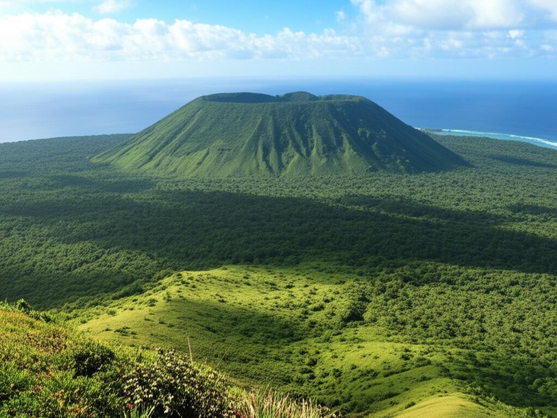
Kolombangara
Kolombangara is a volcanic island in Western Province that hosts many short rivers and streams. Rivers on the island drain its steep interior to the sea. Include the island as a river-bearing area in the post.
Vurulato
Vurulato is a named river or creek in the Solomon Islands. It appears in geographic datasets and drains local land to the sea. Record it among the mapped rivers.
Sasamungga
Sasamungga is a river or stream recorded in Solomon Islands place-name lists. It forms part of a local drainage system and features on maps. Add it to the list of rivers.
Susuka
Susuka is a named watercourse in the Solomon Islands. It serves local catchments and flows toward the coast. Include it in the comprehensive river inventory.
Tambatamba
Tambatamba is a river or stream noted in Solomon Islands geographic sources. It contributes to coastal drainage and shows on regional maps. Record it as part of local river networks.
Oaka
Oaka is a named river or coastal stream in the Solomon Islands. It drains nearby terrain and appears in mapping records. Include it among the nation’s smaller rivers.
Zongga
Zongga is a river or creek recorded in Solomon Islands place-name databases. It joins coastal waters after draining local slopes. Add it to the full list of rivers.
Vacho
Vacho is a named watercourse in the Solomon Islands. It functions as a stream or small river and is shown on maps. Include it in the comprehensive river list.
Warihito
Warihito is a river or stream listed in Solomon Islands geographic records. It drains local land and reaches coastal waters. Note it among mapped river features.
Ravo
Ravo is a named river or creek in the Solomon Islands. It forms part of a local drainage network and appears in place-name sources. Include it in the river inventory.
Magoha
Magoha is a river or stream recorded in Solomon Islands datasets. It discharges local runoff to the sea and appears on maps. Add it to the list of rivers.
Wainoni
Wainoni is a named watercourse in the Solomon Islands. It drains nearby terrain to the coastal zone and is present in mapping sources. Include it among the islands’ rivers.
Bauro
Bauro is a region and river area on Guadalcanal that contains streams and river systems. It is often used as a geographic reference for central Guadalcanal waterways. Include Bauro as a notable river area.
Maringe
Maringe is a river or stream recorded in Solomon Islands place-name lists. It contributes to local drainage and coastal discharge. Record it as one of many mapped rivers.
Kaipito
Kaipito is a named river or creek in the Solomon Islands. It appears in geographic datasets and drains local land to the sea. Add it to the full river catalog.
Jejevo
Jejevo is a river or stream listed in Solomon Islands mapping sources. It forms part of a local watershed and reaches the coast. Include it among the nation’s rivers.
Ghehe
Ghehe is a named watercourse in the Solomon Islands. It serves local drainage and shows on maps as a river or creek. Record it in the comprehensive list.
Tanabuli
Tanabuli is a river or stream recorded in Solomon Islands geographic records. It drains surrounding terrain and flows to the sea. Include it as a mapped river feature.
Rakata
Rakata is a named river or creek in Solomon Islands sources. It contributes to local catchments and coastal discharge. Add it to the national river inventory.
Kwai
Kwai is a river name that appears in Solomon Islands place-name lists. It functions as a local stream or river and shows on maps. Include it among the islands’ rivers.
Fiu
Fiu is a river or creek recorded in geographic datasets for the Solomon Islands. It drains nearby land into coastal waters. Record it in the comprehensive river list.
Kware’a
Kware’a is a named watercourse in the Solomon Islands. It forms part of a local drainage network and appears on mapping sources. Include it in the river inventory.
Takwa
Takwa is a river or stream noted in Solomon Islands place-name records. It drains upland areas toward the coast and is present on maps. Add it to the full list of rivers.
Auki
Auki is the main town of Malaita Province and sits near several rivers and streams. Mention Auki to anchor river entries on Malaita and to link rivers to a local population center.
Hoava
Hoava is a named river or stream in the Solomon Islands, recorded on regional maps. It drains local terrain to the coast and is part of island watersheds. Include it in the river list.
Kalikana
Kalikana is a river or creek recorded in Solomon Islands place-name databases. It serves local catchments and flows to the sea. Add it to the inventory of rivers.
Mase
Mase is a named watercourse in the Solomon Islands. It appears in geographic datasets as a river or stream draining nearby land. Include it among mapped rivers.
Esu
Esu is a river or stream listed in Solomon Islands mapping sources. It contributes to local drainage and reaches coastal waters. Record it in the comprehensive list.
Hoilava
Hoilava is a named river or stream in the Solomon Islands. It forms part of local watershed systems and appears on maps. Include it among the country’s rivers.
Ulo
Ulo is a river or small stream recorded in Solomon Islands geographic records. It drains local terrain into nearby coastal zones. Add it to the full river catalog.

Warisi
Warisi is a named watercourse in the Solomon Islands. It serves as a stream or river draining local catchments to the sea. Include it in the river inventory.
Lata
Lata is the main town on Nendo (Santa Cruz Islands) in Temotu Province and lies near local rivers and streams. Mention Lata to link river entries in Temotu to a provincial center.
Mbokokina
Mbokokina is a named river or creek recorded in Solomon Islands mapping sources. It drains surrounding land and flows to the coast. Record it among the mapped rivers.
Saru
Saru is a river or stream listed in Solomon Islands geographic datasets. It contributes to local drainage systems and reaches coastal waters. Include it in the complete list of rivers.