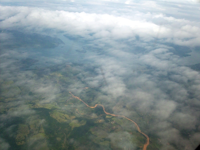
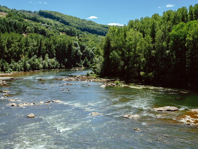
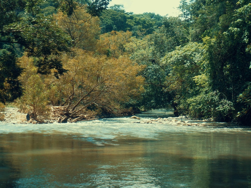
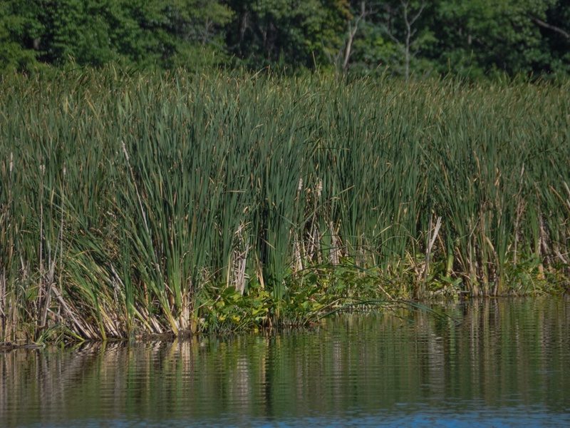
Trinidad and Tobago’s rivers thread through rainforest, marsh and town, shaping local ecosystems, agriculture and community life. Many are short by continental standards but important for freshwater habitat, drainage and cultural uses across both islands.
There are 50 Rivers in Trinidad and Tobago, ranging from Anglais River to Yarra River. For each entry you’ll find the columns Island,Length (km),Notable features / origin (max 15 words), so you can quickly see location, size and key origin or feature — you’ll find below.
How were the river lengths and notable features determined?
Lengths are compiled from official maps, hydrographic surveys and reputable local sources; where figures differ I use the latest government or cartographic data and note approximate values. The “Notable features / origin” field is limited to 15 words to give a concise indication of source, mouth or distinguishing characteristic.
Can I use this list to plan visits or research?
Yes — the list is a practical starting point for locating rivers and basic facts, but check current access, seasonal flow, road conditions and any protected-area rules before visiting; for scholarly work consult detailed hydrological reports or local environmental agencies.
Rivers in Trinidad and Tobago
| Name | Island | Length (km) | Notable features / origin (max 15 words) |
|---|---|---|---|
| Ortoire River | Trinidad | 50 | Considered the longest river in the country, emptying into the Atlantic Ocean. |
| Caroni River | Trinidad | 40 | Largest drainage basin; flows into Caroni Swamp, a famous bird sanctuary. |
| Navet River | Trinidad | 30 | Feeds the Navet Dam and Reservoir, a critical national water source. |
| Guaracara River | Trinidad | 30 | Flows near the Pointe-a-Pierre oil refinery and industrial area. |
| Caparo River | Trinidad | 29 | Major central Trinidad river flowing west into the Gulf of Paria. |
| Guanapo River | Trinidad | 25 | Flows through Guanapo Gorge, a popular hiking and canyoning destination. |
| Oropouche River (South) | Trinidad | 25 | Drains southern wetlands into the Gulf of Paria near San Fernando. |
| Aripo River | Trinidad | 23 | Main tributary of the Caroni River, sourced in the Northern Range. |
| Mitan River | Trinidad | 22 | Primary river draining into the Nariva Swamp, a Ramsar protected wetland. |
| Couva River | Trinidad | 20 | Flows through central Trinidad, entering the Gulf of Paria at Couva. |
| Yarra River | Trinidad | 20 | Drains the southern watershed of Trinidad, entering the Columbus Channel. |
| Poole River | Trinidad | 19 | A tributary of the Ortoire River located in central-south Trinidad. |
| Oropouche River (North) | Trinidad | 18 | Drains the Northern Range eastward into Matura Bay on the Atlantic coast. |
| Moruga River | Trinidad | 18 | Reaches the sea at Moruga, a reported landing site of Christopher Columbus. |
| Guayamare River | Trinidad | 18 | Flows through central plains, a tributary of the Caroni River. |
| Cunupia River | Trinidad | 17 | A significant tributary of the Caroni River, draining the central plains. |
| Tacarigua River | Trinidad | 16 | Northern Range river; provides water for the Caura Water Treatment Plant. |
| Cipero River | Trinidad | 15 | Flows through San Fernando, historically important but now facing pollution challenges. |
| Arouca River | Trinidad | 15 | Originates in the Northern Range and flows south into the Caroni Swamp. |
| L’Ebranche River | Trinidad | 14 | Flows into the Nariva Swamp, contributing to its unique ecosystem. |
| Pilote River | Trinidad | 13 | Located in the south of Trinidad, emptying into the Columbus Channel. |
| Godineau River | Trinidad | 12 | Also known as the South Oropouche River, draining a large southern basin. |
| Madamas River | Trinidad | 12 | A remote Northern Range river ending at Madamas Bay, accessible by hiking. |
| St. Joseph River | Trinidad | 11 | Flows through the historic former capital, San José de Oruña (St. Joseph). |
| Turure River | Trinidad | 11 | Known for its limestone formations and “water steps” in the Northern Range. |
| Courland River | Tobago | 10 | One of Tobago’s longest rivers, emptying into Great Courland Bay near Plymouth. |
| Diego Martin River | Trinidad | 10 | Flows through a populated valley; largely channelized for flood control. |
| Marianne River | Trinidad | 10 | Empties into the Caribbean at Marianne Bay, a popular bathing spot. |
| Maraval River | Trinidad | 9 | Flows through the residential Maraval valley into Port of Spain. |
| Shark River | Trinidad | 9 | North coast river known for its clear pools, a popular local swimming spot. |
| Richmond River | Tobago | 8 | Features Argyle Waterfall, Tobago’s highest and most famous waterfall. |
| Paria River | Trinidad | 8 | Reaches the sea at Paria Bay, accessible via a popular North Coast trail. |
| Hillsborough River | Tobago | 7 | The main source for the Hillsborough Reservoir, Tobago’s primary water supply. |
| Roxborough River | Tobago | 7 | Flows through the town of Roxborough on Tobago’s windward coast. |
| Goldsborough River | Tobago | 6 | Flows into Goldsborough Bay, an area with historical colonial ruins. |
| Bloody Bay River | Tobago | 5 | Named after a legendary 17th-century naval battle between opposing European forces. |
| Castara River | Tobago | 4 | A short, scenic river that empties at Castara Bay, a fishing village. |
| Curampont River | Trinidad | 14 | A tributary of the Ortoire River in the Mayaro region. |
| Nariva River | Trinidad | 13 | The main river associated with the Nariva Swamp, a protected wetland of international importance. |
| Arima River | Trinidad | 17 | Flows from the Northern Range through the borough of Arima. |
| Blanchisseuse River | Trinidad | 9 | A North Coast river with a popular spring bridge and recreational areas. |
| Matelot River | Trinidad | 11 | Major river in the remote village of Matelot on the North Coast. |
| Tompire River | Trinidad | 10 | Flows through the Trinity Hills Wildlife Sanctuary in southeastern Trinidad. |
| Grande Riviere | Trinidad | 8 | Famous for the leatherback turtle nesting site located at its mouth. |
| Quare River | Trinidad | 15 | Feeds the Quare Reservoir, a key component of Trinidad’s water supply. |
| Moriquite River | Trinidad | 10 | A tributary of the Moruga River in southern Trinidad. |
| Parlatuvier River | Tobago | 4 | Flows into the picturesque Parlatuvier Bay on Tobago’s leeward coast. |
| Anglais River | Tobago | 5 | Flows into Englishman’s Bay, a famous and secluded Tobago beach. |
| Coffee River | Trinidad | 7 | Name origin is linked to former coffee plantations in the area. |
| Mamoral River | Trinidad | 13 | A river in central Trinidad, known for its surrounding agricultural lands. |
Images and Descriptions
Ortoire River
A major river on Trinidad’s southeast coast. It flows through rural valleys and empties into Ortoire Bay. It appears on national maps and is important for local drainage and ecology.
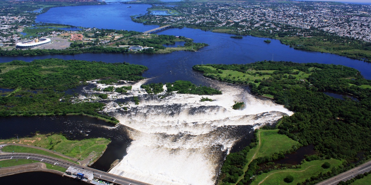
Caroni River
The largest river basin in Trinidad. It drains central highlands and feeds the Caroni Swamp and Gulf of Paria. It is a key river for water supply and wildlife habitat.
Navet River
A central Trinidad river that supplies the Navet Reservoir. It rises in rolling hills and helps provide drinking water. It is listed for its role in national water infrastructure.

Guaracara River
A south-west Trinidad river near industrial and urban areas. It drains into the Gulf of Paria. It is notable for its local economic and environmental interactions.
Caparo River
A central Trinidad river that runs through agricultural and residential zones. It drains toward the Gulf of Paria. It is included as a frequently referenced river in national surveys.
Guanapo River
A river in central-east Trinidad that flows from upland areas. It links local valleys and joins larger drainage systems. It is often cited in regional hydrology.
Oropouche River (South)
A southern Trinidad river associated with the Oropouche wetlands. It drains lowland swamp areas and reaches the Gulf of Paria. It is important for regional ecology.
Aripo River
A river rising in the Northern Range of Trinidad. It flows through protected savanna and upland areas. It is included for its ecological and scenic value.

Mitan River
A smaller named river in Trinidad. It runs through local valleys and farmland. It appears on hydrographic lists of the island.
Couva River
A west-central Trinidad river near the town of Couva. It drains coastal plains toward the Gulf of Paria. It is notable for local industry and communities.

Yarra River
A minor named stream in Trinidad. It is included among listed rivers and appears on detailed local maps. It serves nearby settlements and farmland.
Poole River
A small river or stream in Trinidad listed in hydrographic records. It drains local hills and helps manage surface water in its basin.
Oropouche River (North)
A northern branch of the broader Oropouche drainage in Trinidad. It feeds wetlands and lowland systems. It is relevant to studies of the Oropouche basin.

Moruga River
A river on Trinidad’s south coast near Moruga. It drains steep terrain to the Caribbean Sea. It is included because it shapes the local coastal landscape.

Guayamare River
A southeast Trinidad river serving rural coastal districts. It drains local hills and passes through agricultural land. It is a named river on regional maps.
Cunupia River
A central Trinidad river near the town of Cunupia. It flows through suburban and agricultural areas. It is included because it is part of the Caroni catchment network.

Tacarigua River
An east-central Trinidad river that flows through Tacarigua valley. It drains into coastal flats and supports local communities. It is commonly referenced in regional geography.
Cipero River
A southwestern Trinidad river that drains upland slopes. It runs near agricultural districts and flows toward the coastal plain. It is listed for local land-use importance.

Arouca River
A river in north-central Trinidad near Arouca town. It drains part of the Northern Range foothills. It is included for local hydrology and recreation areas.
L’Ebranche River
A named river in Trinidad appearing on detailed maps. It drains local terrain and contributes to regional watersheds. It is included as part of the complete list.
Pilote River
A small river or creek found in Trinidad. It serves local valleys and is listed among named waterways in the island’s hydrographic records.

Godineau River
A minor named river in Trinidad. It flows through local landscapes and appears on government and mapping sources. It is included to be comprehensive.
Madamas River
A named stream in Trinidad that drains upland areas. It is recorded in local river lists and supports nearby land uses.
St. Joseph River
A river that runs through the St. Joseph valley in Trinidad. It drains part of the central highlands and supports local communities. It is included for geographic completeness.

Turure River
A named river in Trinidad that drains forested hills. It connects upland catchments to lower valleys. It is listed in hydrological inventories.

Courland River
A river on Tobago associated with Courland Bay and nearby coastal communities. It drains the island’s interior toward the shore. It is included as a Tobago entry.

Diego Martin River
A northwestern Trinidad river running through Diego Martin valley. It drains the Northern Range foothills to the Gulf of Paria. It is notable for urban and suburban settings.

Marianne River
A named river that appears in local records. It drains rural areas and forms part of the island’s smaller catchments. It is included for thorough coverage.

Maraval River
A river draining the Maraval valley near Port of Spain in Trinidad. It runs from the Northern Range into the urban corridor. It is included for its role in city drainage.
Shark River
A named stream in Trinidad or Tobago listed on detailed maps. It drains local coastal or upland areas and appears in regional river lists.
Richmond River
A minor river appearing in national mapping. It drains local terrain and contributes to nearby coastal or inland systems. It is included for completeness.

Paria River
A river on Trinidad’s northeastern coast or in the Paria Bay area. It drains upland slopes to the Atlantic and is part of the east coast river network.
Hillsborough River
A central river on Tobago that flows past the capital, Hillsborough. It drains interior highlands to the sea. It is included as a significant Tobago waterway.
Roxborough River
A river on Tobago near the Roxborough area. It drains the island’s interior hills to the coast. It is included among Tobago’s named rivers.
Goldsborough River
A small river in Tobago near Goldsborough Estate. It drains local slopes and passes through rural communities. It is listed for Tobago coverage.
Bloody Bay River
A river on Tobago flowing toward Bloody Bay and nearby settlements. It drains hillside terrain to the shore. It is included for island completeness.

Castara River
A river on Tobago that runs by Castara village. It drains interior hills and passes through the settlement before reaching the sea. It is a named coastal stream.

Curampont River
A named stream in Tobago appearing on local maps. It drains part of the island’s interior and reaches coastal areas. It is included among Tobago entries.

Nariva River
One of Trinidad’s major east-coast rivers feeding the Nariva Swamp. It drains large catchments and supports important wetland habitats. It is included for ecological significance.

Arima River
A river in eastern Trinidad that flows through the town of Arima. It drains surrounding hills and joins larger systems. It is included for its local importance.
Blanchisseuse River
A river on Trinidad’s north coast near Blanchisseuse village. It drains the Northern Range to the Atlantic. It is included as a named north-coast river.

Matelot River
A north Trinidad river near Matelot village. It drains steep coastal hills to the Atlantic. It is included for its role on the rugged north shore.

Tompire River
A small named river in Trinidad. It appears on detailed maps and drains local hills to nearby valleys or the coast.
Grande Riviere
A well-known river on Trinidad’s northeast coast with a turtle-nesting beach. It drains upland areas to the Atlantic. It is included for ecological and tourism relevance.
Quare River
A named stream in Trinidad that drains local catchments. It appears in hydrographic lists and supports nearby land uses.

Moriquite River
A minor river recorded in local mapping. It drains a regional valley and is included to ensure a complete listing of named waterways.

Parlatuvier River
A river on Tobago near the village of Parlatuvier. It drains the island’s interior toward the coast. It is included as part of Tobago’s river network.
Anglais River
A river name found in Trinidad’s local records. It drains upland areas to coastal plains and appears on regional maps.

Coffee River
A small named river in Trinidad or Tobago appearing on detailed lists. It drains local terrain and serves rural areas.
Mamoral River
A named stream in Trinidad recorded on maps and surveys. It drains local slopes and is included for comprehensive coverage of known rivers.