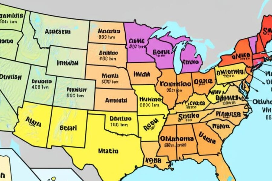
The geography of U.S. states and the lines between them reflect centuries of exploration, negotiation, and natural geography. State boundaries vary from straight survey lines to winding rivers and mountain ridges, producing a wide range of shapes and neighbor relationships. These borders matter for law, transportation, resource management and local identity, and they often trace back to colonial claims, treaties, and 19th-century land decisions. Understanding how states meet one another reveals patterns in settlement, commerce and regional culture across the country.
Context
Many modern state boundaries have roots in colonial charters, treaties, territorial purchases and later federal legislation. Natural features—rivers such as the Mississippi and mountain ranges—were common reference points, while some borders were drawn as straight survey lines during westward expansion. Disputes over lines have a long legal history, sometimes settling in state agreements or the U.S. Supreme Court. Today, state borders determine jurisdictional authority for courts and law enforcement, influence transportation planning and can affect taxation, environmental management and regional cooperation.
Scope and coverage
This collection of US States by Bordering States encompasses explorations of how states meet one another across the country, from the contiguous Lower 48 to noncontiguous states. The lineup includes discussions of boundary origins, the role of natural features and historic agreements, and how different border configurations affect neighboring communities. Articles will look at typical patterns—long shared borders, short touchpoints, panhandles—and the practical implications for travel, commerce and cross-border services without promising exhaustive listings in a single entry.
Little-known facts about state borders:
- The United States comprises 50 states, of which 48 are contiguous on the North American landmass; Alaska and Hawaii are noncontiguous.
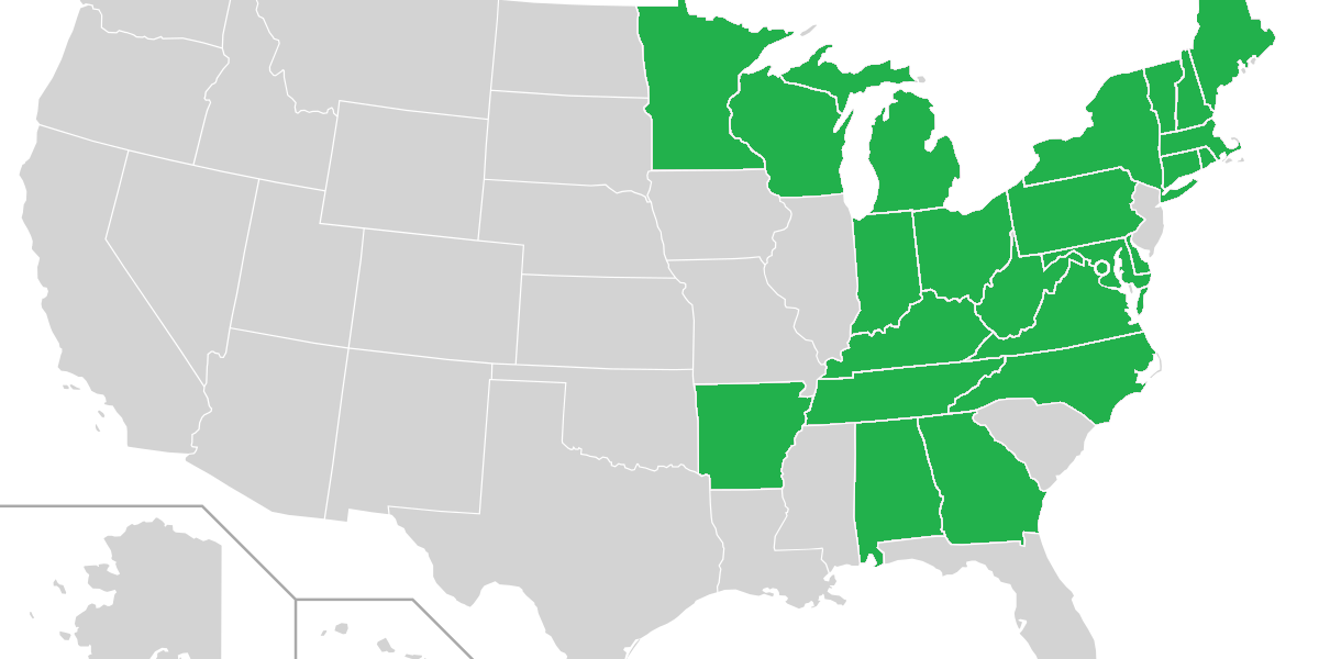
- Tennessee and Missouri each border eight other states, the highest number of neighboring states for any single state.
- Maine shares a land border with only one other state—New Hampshire.
- Alaska and Hawaii do not share land borders with any other U.S. states.
- Major rivers, including the Mississippi and the Rio Grande, form long stretches of state boundaries and have been important in historic boundary definitions.
- Several states have panhandles—Florida, Oklahoma and Idaho are common examples—which create unusual border shapes and additional neighboring segments.