The border between Virginia and Kentucky threads through rugged hills and river valleys, dotted with small towns shaped by mining, timber, and local trade. These places have distinct local characters and often serve as quiet waypoints for travelers exploring Appalachian routes.
There are 10 Virginia – Kentucky Bordering Towns, ranging from Benham to Stopover. For each, you’ll find below State,Country,Coordinates (lat, long).
How precise are the coordinates provided for each town?
The coordinates typically point to a town’s central or commonly referenced location and come from public mapping sources; they should be accurate enough for general navigation but, for property lines or official boundaries, verify with a local GIS or GPS device.
Do these listings mean each town sits exactly on the state line?
Not necessarily—some towns straddle the border while others lie very near it within border counties; check the Coordinates (lat, long) and local maps to see whether a town’s municipal limits actually cross the state line.
Virginia – Kentucky Bordering Towns
| Town | State | Country | Coordinates (lat, long) |
|---|---|---|---|
| Lynch | KY | United States | 36.97, -82.92 |
| Benham | KY | United States | 36.96, -82.95 |
| Jenkins | KY | United States | 37.18, -82.63 |
| Payne Gap | KY | United States | 37.19, -82.66 |
| Elkhorn City | KY | United States | 37.30, -82.35 |
| Breaks | VA | United States | 37.29, -82.30 |
| Stopover | KY | United States | 37.45, -82.17 |
| Majestic | KY | United States | 37.48, -82.16 |
| Freeburn | KY | United States | 37.52, -82.15 |
| Phelps | KY | United States | 37.51, -82.16 |
Images and Descriptions
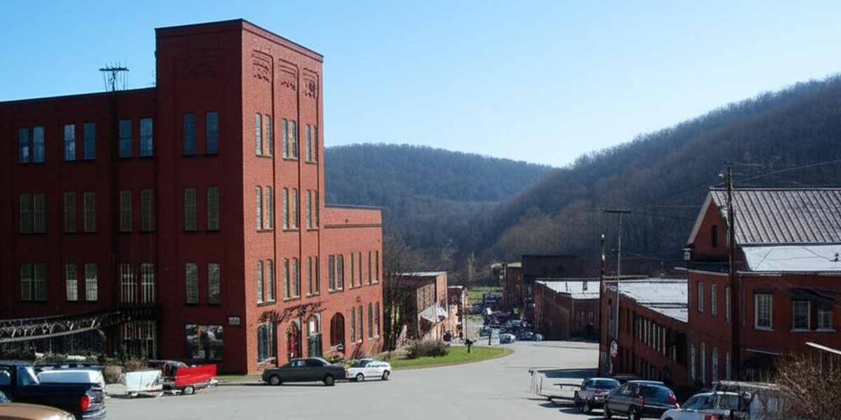
Lynch
Once one of the world’s largest coal company towns, Lynch was built by a U.S. Steel subsidiary at the base of Black Mountain. The town’s northern boundary is the Virginia state line, and it is home to the Kentucky Coal Mining Museum.
Benham
A sister city to Lynch, Benham was a model coal town constructed by International Harvester. Its city limits also touch the Virginia border on Black Mountain. Today, it showcases Appalachian heritage with its well-preserved, historic company-built homes and community buildings.
Jenkins
Founded as a company town by Consolidation Coal Company, Jenkins is nestled in a valley where its eastern edge directly abuts the Virginia line. The city is a gateway between the states via Pound Gap and is known for its scenic location and rich coal history.

Payne Gap
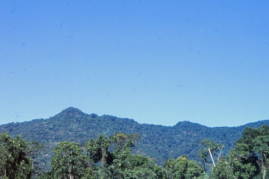
This small, unincorporated community sits just northwest of Jenkins and is located within a kilometer of the Virginia border. It is situated near the historic Pound Gap on Pine Mountain, a key travel route for early settlers moving between Kentucky and Virginia.
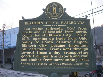
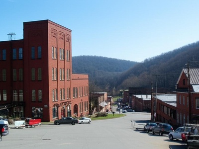
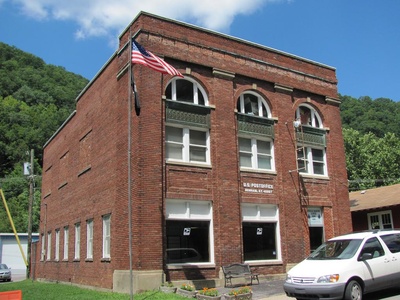
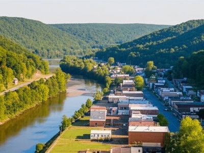
Elkhorn City
Known as the “Gateway to the Breaks,” this town is located on the Russell Fork river right at the Virginia border. It is a popular destination for whitewater rafting and serves as a base for visitors exploring the stunning Breaks Interstate Park.

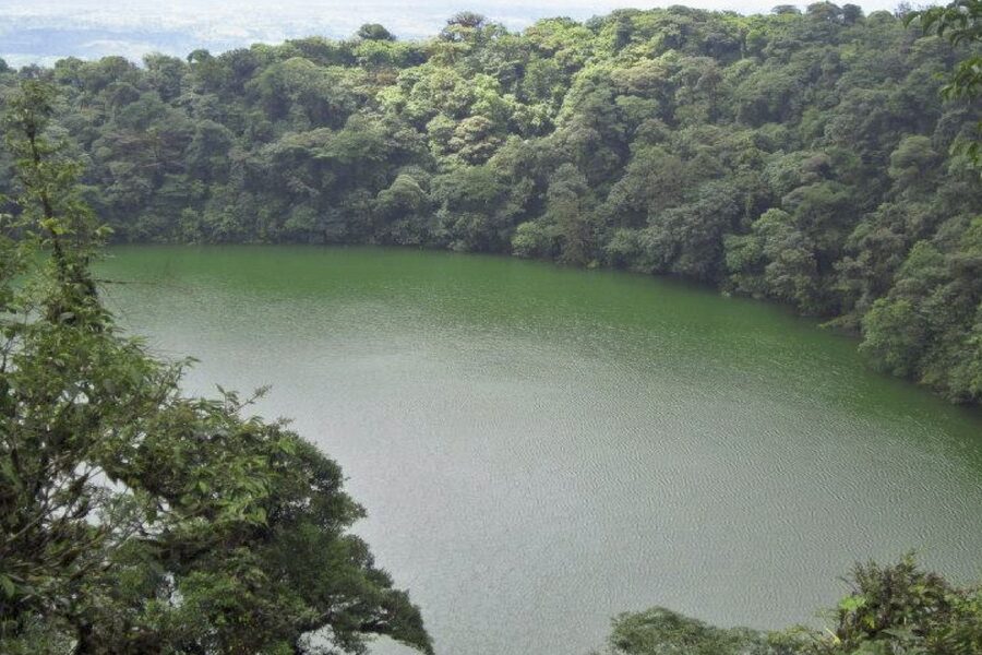
Breaks
This unincorporated community in Dickenson County is the primary Virginia access point for Breaks Interstate Park, which straddles the state line. The community is defined by its proximity to the “Grand Canyon of the South,” offering breathtaking views of the gorge.
Stopover
A small, unincorporated coal community in Pike County, Stopover is situated directly on the bank of the Tug Fork. The river itself serves as the state line, placing this historic settlement immediately adjacent to Virginia in the heart of Hatfield-McCoy country.

Majestic
An unincorporated community in southern Pike County whose history is deeply connected to the region’s coal industry. It lies on the Kentucky side of the Tug Fork, with the river marking the direct border with Virginia, embodying the life of an Appalachian border town.

Freeburn
Located along the Tug Fork, which forms the state line with Virginia, Freeburn is another of Pike County’s historic coal camp communities. Its position on the border highlights the interconnected nature of Appalachian life, where state lines often run through single communities.
Phelps
A census-designated place in Pike County, Phelps is situated on the Tug Fork directly across from Buchanan County, Virginia. The community is a central point for exploring the history of the Hatfield-McCoy feud and hosts an annual festival celebrating the region’s heritage.