Where California meets Arizona you’ll find a mix of riverside settlements, highway stops and quiet desert communities—places that matter for travel planning, emergency services and local history. This list pulls those towns together so you can quickly see who sits on which side of the line.
There are 17 California – Arizona Bordering Towns, ranging from Cibola to Yuma. For each entry we list Country,State side,Nearest crossing to show location and access, and you’ll find below the full list with those quick-reference details.
How close are these towns to official border crossings?
Distances vary: some towns are adjacent to bridges or marked crossings while others sit several miles inland. Use the “Nearest crossing” column in the list below to see the specific crossing for each town and estimate travel times or services.
Do I need special permits or checks to drive between these towns?
No international checks are required—both are U.S. states—but local road conditions, seasonal closures and bridge availability can affect routes. Check the “State side” and “Nearest crossing” details below and consult local traffic or park services for current road status.
California – Arizona Bordering Towns
| Town | Country | State side | Nearest crossing |
|---|---|---|---|
| Needles | USA | California | Interstate 40 Bridge to Arizona |
| Fort Mohave | USA | Arizona | Avi Resort Bridge or Needles Bridge (Hwy 95) |
| Mohave Valley | USA | Arizona | Needles Bridge (Hwy 95) |
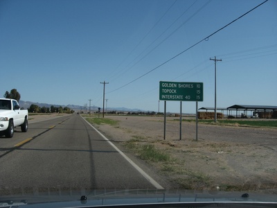
| Topock | USA | Arizona | Old Trails Bridge or I-40 Bridge |
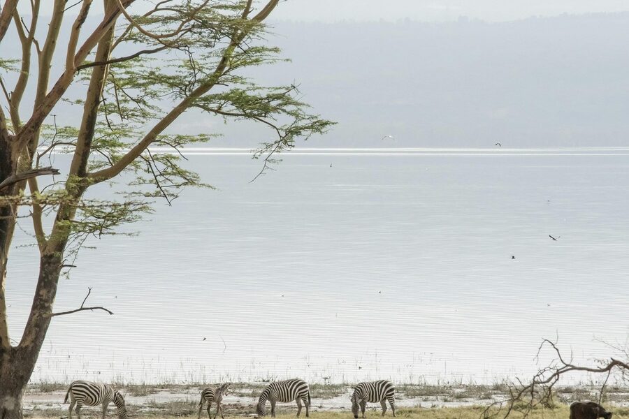
| Lake Havasu City | USA | Arizona | Lake Havasu Ferry to Havasu Lake, CA |
| Havasu Lake | USA | California | Lake Havasu Ferry to Lake Havasu City, AZ |
| Parker Strip | USA | Arizona | Parker Bridge (AZ 95) |
| Parker | USA | Arizona | Parker Bridge (AZ 95) |
| Earp | USA | California | Parker Bridge (AZ 95) |
| Poston | USA | Arizona | No direct crossing; near Parker Bridge to the north |
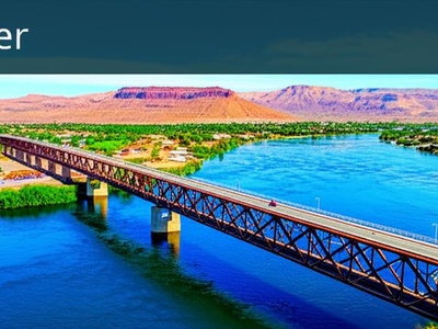
| Ripley | USA | California | Blythe-Ehrenberg Bridge (I-10) |
| Ehrenberg | USA | Arizona | Blythe-Ehrenberg Bridge (I-10) |
| Cibola | USA | Arizona | No direct crossing; nearest is I-10 bridge at Blythe |
| Winterhaven | USA | California | Ocean to Ocean Bridge or I-8 Bridge |
| Yuma | USA | Arizona | Ocean to Ocean Bridge or I-8 Bridge |
| Gadsden | USA | Arizona | No direct crossing; near Andrade, CA border crossing |
| San Luis | USA | Arizona | No direct crossing; near Andrade, CA border crossing |
Images and Descriptions
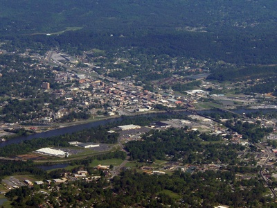
Needles
A historic Route 66 city of about 4,900, Needles sits on the west bank of the Colorado River. The city limits touch the state line in the river, making it a key desert gateway between California and Arizona via the I-40 bridge.
Fort Mohave
This growing CDP of over 16,000 residents has its entire western boundary on the Colorado River, directly bordering California. It’s a popular spot for recreation and retirement, just south of the gaming destination of Laughlin, Nevada.
Mohave Valley
A large residential and agricultural CDP of over 13,000 people, Mohave Valley stretches along the eastern bank of the Colorado River. Its western edge is the California state line, making it a significant border community focused on river life.
Topock
Best known for the I-40 Colorado River crossing, Topock is a small community centered on boating and travel services. It sits right on the state line, serving as the eastern anchor of the bridge connecting it to California’s Mojave Desert.
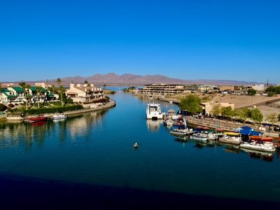
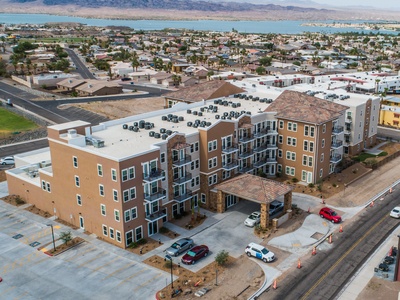
Lake Havasu City
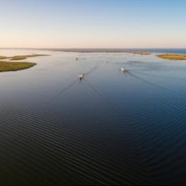
Famous for its London Bridge, this city of over 57,000 borders California in the middle of Lake Havasu. Its western edge is the state line in the water, making it a premier boating and tourist destination on the shared border.
Havasu Lake
Located on the Chemehuevi Reservation, this community of about 1,300 sits directly on the California shore of Lake Havasu. It faces Lake Havasu City, Arizona, across the state line and is connected by a passenger ferry service.
Parker Strip
This CDP is a long, narrow community of around 3,300 stretching along the Arizona side of the Colorado River. It’s a bustling area with resorts and homes built directly on the California state line, which runs down the river.
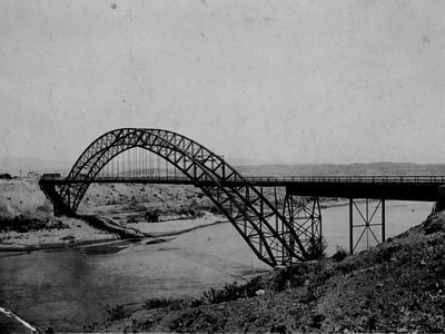
Parker
As the seat of La Paz County, the town of Parker’s western boundary is the Colorado River, the state line. With about 3,000 residents, it’s a vital agricultural and administrative center connected directly to California by the Parker Bridge.
Earp
Named for legendary lawman Wyatt Earp, this small CDP sits directly across the Colorado River from Parker, Arizona. Its eastern edge is the state line, a quiet community historically linked to its Arizona neighbor via the Parker Bridge.

Poston
Situated on the Colorado River Indian Reservation, Poston is a community of about 380 people whose western edge is the California border. It is historically significant as the site of a large Japanese American internment camp during World War II.
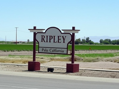
Ripley
This small agricultural community of about 550 people is located in the fertile Palo Verde Valley. Its eastern boundary is the Colorado River, placing the town directly on the Arizona state line just south of the major I-10 crossing.
Ehrenberg
Positioned at the Interstate 10 crossing, Ehrenberg is a small CDP of around 980 that serves as a key entry point into Arizona. The community sits right on the eastern bank of the Colorado River, directly opposite California’s farmland.
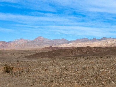
Cibola
Nestled within the Cibola National Wildlife Refuge, this tiny, isolated community lies on the Colorado River’s east bank. It is a remote outpost for nature lovers where the quiet western edge of town is the physical border with California.
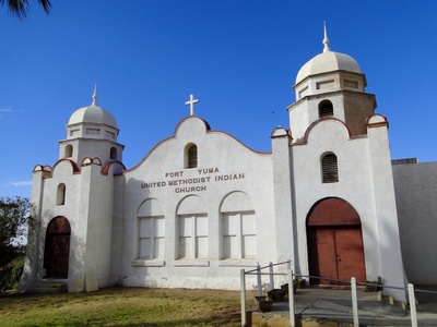
Winterhaven
Located on the Fort Yuma Indian Reservation, Winterhaven is California’s gateway to Yuma. This CDP of about 380 residents lies on the west bank of the Colorado River, directly connected to Arizona by the parallel I-8 and historic bridges.
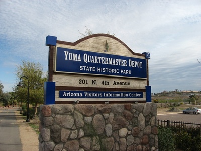
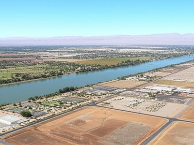
Yuma
A major city of over 95,000, Yuma’s western boundary is the Colorado River, which separates it from Winterhaven, California. It’s a critical agricultural, military, and logistics hub that sits squarely on the border between the two states.
Gadsden
A small agricultural CDP with about 570 residents, Gadsden’s western edge is the straight-line land border with Imperial County, California. It lies in a unique region south of the Colorado River, sharing a distinct north-south border with its neighbor.
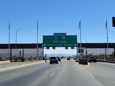
San Luis
A bustling city of over 35,000 on the U.S.-Mexico border, San Luis also directly touches California. Its entire western city limit is the state line, making it a unique place that borders both another U.S. state and another country.