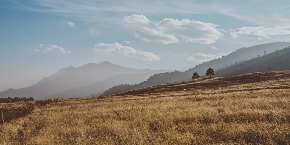
The Nebraska–Colorado line runs about 200 miles across some of the emptiest, most underrated country in the United States. Most people cross it on I-76 or I-80 doing 75 mph and never notice the towns sitting right on top of it. That’s a mistake. This stretch of the high plains is where the Pony Express crossed, where one of the bloodiest Plains Indian raids burned a town to the ground, and where a village of 150 people can claim the title of closest town to a state line you’ve never thought about.
Here’s the line itself, town by town, so you know exactly what you’re driving past.
Table of Contents
- Where the border actually runs
- The closest town to the line: Venango, Nebraska
- Julesburg, Colorado, and Big Springs, Nebraska
- Holyoke, Colorado
- Wray, Colorado
- Sidney, Chappell, and Grant, Nebraska
- Distances along the border
- Driving the border
Where the border actually runs {#where-the-border-actually-runs}
The Nebraska–Colorado boundary is a straight line of latitude, the 41st parallel, with a small jog at the western end where Colorado’s northeast corner meets Wyoming. It cuts across the South Platte River valley in the west and the dry tableland of the high plains in the east. There’s no river or mountain range marking it for most of its length. The line is a surveyor’s decision, not a geographic one, which is why so many of the towns near it sit only a mile or two apart on opposite sides.
Two waterways do shape the western end. The South Platte River flows out of Colorado into Nebraska near Julesburg, and Lodgepole Creek runs roughly parallel to the line through the Nebraska Panhandle. The Pony Express Trail used both, crossing the Colorado line east of Julesburg, running along the South Platte, then turning north up Lodgepole Creek and back into Nebraska.
The towns split into two rough clusters. In the west, around the South Platte, you get Julesburg paired with Big Springs and the Nebraska Panhandle towns of Sidney and Chappell. In the east, on the open tableland, you get Holyoke and Wray on the Colorado side and the small Perkins County villages, including Venango, on the Nebraska side.
The closest town to the line: Venango, Nebraska {#venango}
If you want the single town that sits nearest the Colorado border, it’s Venango, a village in Perkins County, Nebraska. It’s about 3,024 feet from the state line, closer than any incorporated town on either side. For comparison, Julesburg across the way sits roughly 4,114 feet out.
Venango is tiny. The 2020 census counted 157 people, and recent estimates put it closer to 150. There’s a grain elevator, a post office, a handful of streets, and not much else. That’s the appeal. This is what most of the border actually looks like once you get off the interstate: farm country, big sky, and a town you can walk across in five minutes.
Nobody puts Venango on a travel itinerary, and you shouldn’t go out of your way for it. But if you’re tracing the border and want to stand at the closest populated point to the line, this is the spot. It’s a genuinely odd little distinction for a village this small to hold.
Julesburg, Colorado, and Big Springs, Nebraska {#julesburg-big-springs}
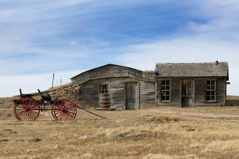
Julesburg is the most historically loaded town on the entire border, and it’s where you should actually stop. It sits in Sedgwick County in Colorado’s far northeast corner, the first town off the line if you come in on I-76.
The town is named for Jules Beni, the station master who ran the local stop for the Pony Express and the Overland Stage in 1860 and 1861. By the time the Union Pacific reached town in 1867, Julesburg had a reputation as a railroad “sin city.” Before that, it earned a darker place in the record: on January 7, 1865, as retaliation for the Sand Creek Massacre, around a thousand Cheyenne, Arapaho, and Lakota warriors attacked Julesburg and later burned the settlement to the ground. The town has been rebuilt and relocated a few times since.
Today the draw is the Fort Sedgwick Museum and Depot Museum. Julesburg is Colorado’s only Pony Express home station, and the museums hold artifacts from the Union Pacific, the Pony Express, Native American history, and the early pioneer years. A 19-mile historic loop tour links ten sites along the South Platte, including the old fort grounds. The Colorado section of the Pony Express National Historic Trail runs about 26 miles, starting at the Nebraska line east of town. There’s also good tailwater fishing on the South Platte and, oddly enough, the oldest continuously operating drag strip in the country.
Across the line and a few minutes northeast sits Big Springs, Nebraska, a village in Deuel County of around 400 people. It’s a quiet stop, but it’s the natural Nebraska bookend to Julesburg: the place where the South Platte route crosses back over the border, and a reasonable spot to gas up before the open country east of town.
Holyoke, Colorado {#holyoke}
Holyoke is the county seat of Phillips County and the most substantial town on the eastern half of the border, with a population of about 2,346 as of 2020. It sits maybe a dozen miles south of the line, far enough that it functions as a real regional hub rather than a wide spot in the road.
For a town its size, Holyoke punches above its weight on things to do. The nine-hole Holyoke Golf Club is open to the public, with prairie-view fairways and the kind of green fees you won’t find on the Front Range. The Phillips County Museum covers local history, and two buildings, the Burge Hotel and the Heginbotham Library, sit on the historical register. There’s an indoor pool, a couple of parks, and the Lions Club fishing pond.
If you’re passing through in summer, time it for the Phillips County Fair, a full agricultural showcase with 4-H exhibits, livestock shows, and rodeo, or for Dandelion Daze in mid-June, a car-show-and-live-music festival on the courthouse lawn. For coffee and a sandwich, Brewed Awakening is the local spot worth knowing about.
Wray, Colorado {#wray}
Wray is the county seat of Yuma County, on the Colorado side of the border in the southeast stretch of the line, with about 2,358 residents at the 2020 census. It sits in the Republican River valley, which gives it a slightly greener, more sheltered feel than the flat tableland to the north.
Yuma County as a whole runs to just under 10,000 people, so Wray and Holyoke are the two anchors of the eastern border region. Wray is worth a stop for the Wray Museum and as a base for exploring the chalk bluffs and canyon country south of town, where the landscape breaks up into something far more dramatic than the plains reputation suggests. It’s also a logical fuel-and-food stop if you’re cutting across the eastern border on US-385 rather than the interstate.
Sidney, Chappell, and Grant, Nebraska {#nebraska-towns}
On the Nebraska side, three towns anchor the route. Sidney is the largest by a wide margin, a Panhandle town of about 6,410 people in Cheyenne County, sitting along I-80 and Lodgepole Creek north of the western border. Sidney spent decades as the corporate headquarters of Cabela’s, the outdoor retailer, until Bass Pro Shops acquired the company in 2017. The flagship store is still there and still draws travelers off the interstate.
Chappell, in Deuel County, is a smaller town of just under a thousand people, a quieter stop between Sidney and Big Springs. Grant, the county seat of Perkins County, sits north of Venango and serves as the local hub for that stretch of farm country. None of these three is a destination on its own, but together they cover the Nebraska side of the western and central border, and Sidney in particular is the obvious place to stock up before heading into the emptier country south of the line.
Distances along the border {#distances}
Rough driving distances to give you a sense of the scale out here:
| From | To | Approx. distance |
|---|---|---|
| Sidney, NE | Julesburg, CO | ~55 miles |
| Julesburg, CO | Big Springs, NE | ~7 miles |
| Julesburg, CO | Holyoke, CO | ~40 miles |
| Holyoke, CO | Wray, CO | ~45 miles |
| Grant, NE | Venango, NE | ~10 miles |
These are short hops by Great Plains standards. The catch is that the roads connecting the eastern towns are two-lane state highways, not interstate, so plan for slower going and long stretches with no services.
Driving the border {#driving-the-border}
The fast way across is I-76 in Colorado feeding into I-80 in Nebraska, crossing the line near Julesburg and Big Springs. That’s the route almost everyone takes, and it’s the one that hides the border completely.
The better way, if you’ve got the time, is to drop south onto US-385 or the network of state highways and connect Julesburg to Holyoke to Wray, then loop back north into Nebraska through Grant and Venango. You’ll trade speed for the actual character of the place: grain elevators on the horizon, Pony Express markers, a nine-hole course nobody’s heard of, and the strange fact that the line you keep crossing is just a number a surveyor drew across the plains.
It won’t be on anyone’s bucket list. But for a corner of the country most people only ever see through a windshield at 75 mph, the Nebraska–Colorado border rewards the detour more than its reputation suggests.