Lesotho is a small mountain kingdom with one enormous job: it makes the water that keeps a chunk of South Africa running. Locked entirely above 1,400 metres, the whole country tilts and drains outward, and nearly every drop ends up in the same place — the Senqu, the river the rest of the world calls the Orange. That’s why people call Lesotho the “Water Tower of Southern Africa.” It isn’t marketing. The Senqu starts here, at around 3,000 metres in the Maloti-Drakensberg, and by the time it reaches the Atlantic it has crossed a third of the subcontinent.
Most lists of Lesotho’s rivers stop at “here are the names.” This one tells you where they go, why a few of them got dammed, and which ones you’d actually want to stand next to.
Table of Contents
- The rivers at a glance
- The Senqu (Orange): the one that matters most
- The Malibamatso and Katse Dam
- The Senqunyane and Mohale Dam
- The Mohokare (Caledon): the border river
- The Makhaleng and the smaller highland rivers
- The Lesotho Highlands Water Project, briefly
- FAQ
The rivers at a glance {#table}
Almost every river in Lesotho is, eventually, a tributary of the Orange-Senqu. The Mohokare (Caledon) is the one big exception that flows along the border rather than through the highlands, but it too ends up in the Orange downstream. Here’s the lineup that matters.
| River | Roughly where it flows | Notable for |
|---|---|---|
| Senqu (Orange) | Rises in the northeast highlands, flows south then southwest across the country and on into South Africa | The main stem; the longest river in South Africa at about 2,200 km |
| Malibamatso | Northern highlands, flows south to join the Senqu | Feeds Katse Dam, the heart of the water project |
| Senqunyane | Maloti Mountains, runs ~120 km south then west into the Senqu | Feeds Mohale Dam |
| Mohokare (Caledon) | Forms much of the western border with South Africa | The lowland border river; passes Maseru |
| Makhaleng | Central and southern Lesotho, drains into the Senqu | A major southern tributary |
| Matsoku | Northern highlands | Left-bank tributary of the Malibamatso |
| Khubelu | Northeastern highlands | Upper-catchment Senqu tributary |
| Mokhotlong | Far northeast, near the town of the same name | Drains the highest, coldest corner |
| Tsoelike | Southeastern highlands | Remote Senqu tributary |
Read it top to bottom and the pattern is obvious: water collects in the high northeast, gathers into a handful of named arms, and pours into the Senqu. The dams sit exactly where those arms come together.
The Senqu (Orange): the one that matters most {#senqu}
The Senqu is the spine of the country. It rises near Mont-aux-Sources in the Maloti-Drakensberg, high enough that snow feeds it in winter, and runs south through some of the steepest terrain in Lesotho before swinging southwest toward the South African border. Once it crosses out of the kingdom it picks up the name Orange and keeps going — roughly 2,200 km in total, all the way to the Atlantic at Alexander Bay. That makes it the longest river in South Africa, even though its first and highest stretch belongs to Lesotho. It also tops any ranking of South Africa’s rivers, where it sits well ahead of the better-known Vaal and Limpopo.
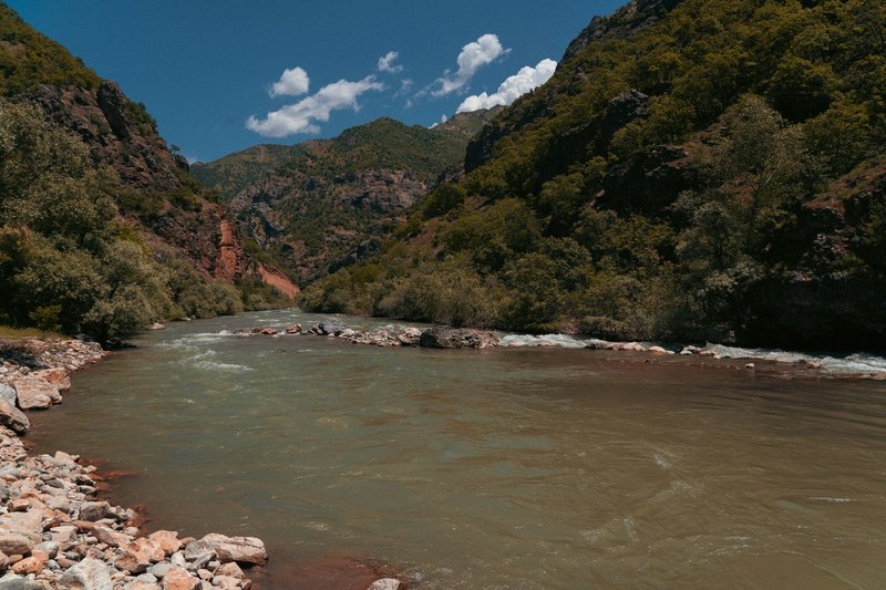
What makes the Senqu unusual isn’t length, it’s altitude. Most of the world’s big rivers spend their lives in lowlands. This one is born high and stays high for a long time, which is the whole reason the water project exists: you can move that water by gravity into South Africa instead of pumping it uphill. In the Lesotho stretch the Senqu is fast, cold, and often the color of milky tea after summer storms drag silt off the slopes.
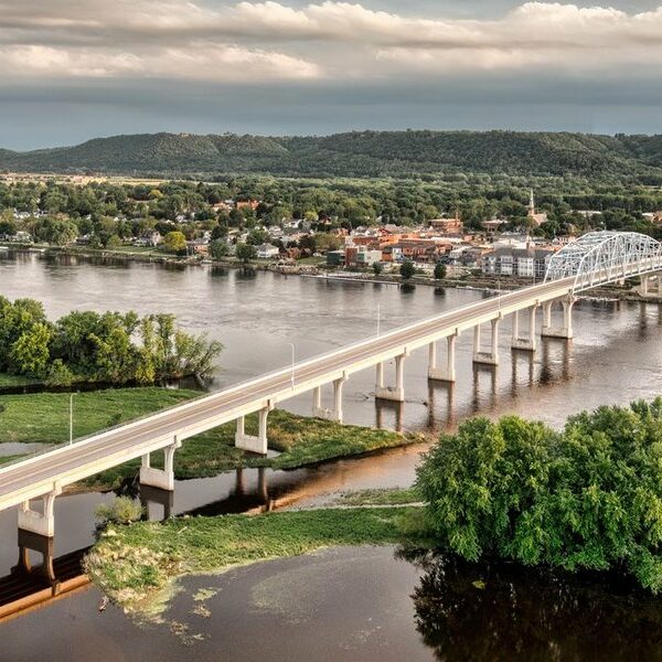
If you want to see it, the bridge crossings near Mohale’s Hoek and the new Senqu Bridge built for the water project’s second phase give you the river at its widest inside the country.
The Malibamatso and Katse Dam {#malibamatso}
The Malibamatso is the river that got famous by getting dammed. It drains the northern highlands and, on its way south to meet the Senqu, it was blocked by the Katse Dam in 1997. Katse is the centrepiece of the Lesotho Highlands Water Project — at the time it was built, one of the highest dams in Africa, its wall curving across a gorge with the reservoir backing up the Malibamatso’s northern arm for kilometres.
Stand on the dam wall and the scale is hard to process. The reservoir sits in a steep-sided valley that flooded villages and grazing land when it filled. The Malibamatso’s own tributaries — the Matsoku and the Semenanyane — feed into the system upstream, which is why this single river ended up carrying so much of the project’s water. Katse is also the most-visited piece of infrastructure in Lesotho, with a visitor centre and tours of the wall, so the Malibamatso is probably the river most travelers actually see up close. Reservoirs like this one blur the usual line between river and lake, and they account for most of the largest bodies of standing water in Lesotho.
The Senqunyane and Mohale Dam {#senqunyane}
The Senqunyane rises in the Maloti Mountains in the country’s northwest and runs about 120 km — south, then a hard turn west — before it empties into the Senqu in the southwest. Like the Malibamatso, it earned a dam: Mohale Dam, finished in 2002, sits on the Senqunyane and is connected to Katse by a transfer tunnel. The two reservoirs work as a pair, with water moved between them underground.
Mohale is a rockfill dam rather than a concrete arch, so it reads differently from Katse — a long sloped embankment instead of a sheer wall. The drive in, over the Bokong plateau, is one of the better high-altitude road trips in southern Africa, which is reason enough to follow this river even if you skip the dam itself.
The Mohokare (Caledon): the border river {#mohokare}
The Mohokare — better known by its colonial name, the Caledon — is the odd one out. While the highland rivers cut through the mountains, the Mohokare runs along the lowland western edge of the country, forming much of the border between Lesotho and South Africa’s Free State. Maseru, the capital, sits on its banks.
It’s a lowland river with lowland habits: muddy, prone to flooding in summer, low and lazy in winter. It picks up the Little Caledon and other small streams before eventually joining the Orange far downstream in South Africa. For most Basotho this is the river of daily life — the one you cross to reach the border post, the one whose floods make the news — even if the highland rivers get the dams and the photographs.
The Makhaleng and the smaller highland rivers {#makhaleng}
The Makhaleng is the big tributary nobody outside Lesotho has heard of. It drains the central and southern highlands and feeds the Senqu, and it’s been studied as a possible site for future water infrastructure precisely because so much of the country’s undammed flow runs through it.
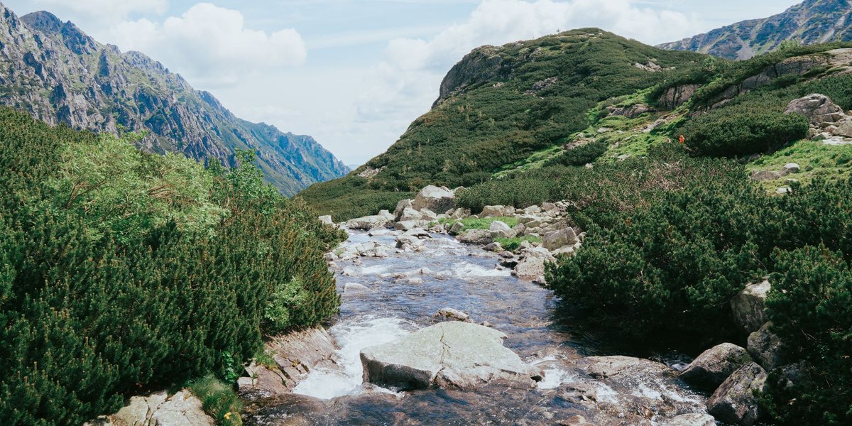
Beyond it, the highland map fills with rivers that stay wild because there’s no road to most of them: the Khubelu and Mokhotlong in the far northeast, draining the highest and coldest ground; the Tsoelike in the remote southeast; the Matsoku feeding the Malibamatso. These are trout-and-shepherd rivers — clear, steep, and threaded through grazing land where you’re more likely to meet a herd boy on a pony than another traveler. They don’t make the postcards. They’re where the water starts. Reaching them is part of the appeal for anyone chasing the more adventurous things to do in Lesotho, where pony-trekking and remote river valleys go hand in hand.
The Lesotho Highlands Water Project, briefly {#lhwp}
You can’t talk about Lesotho’s rivers without the LHWP, because it’s why the world pays attention to them. The project, set up by a 1986 treaty between Lesotho and South Africa, captures highland water behind dams and sends it by gravity tunnel into South Africa’s industrial heartland around Gauteng. In return, Lesotho earns royalties and hydropower.
Phase I gave the country Katse and Mohale and currently delivers roughly 780 million cubic metres of water a year to South Africa. Phase II, under construction now, adds the Polihali Dam on the upper Senqu — a rockfill structure around 165 metres high — plus a 38-km tunnel linking Polihali to Katse, which will move another 490 million cubic metres a year. In plain terms: the rivers in the table above aren’t just scenery. They’re a national export.
FAQ {#faq}
What is the longest river in Lesotho? The Senqu, known as the Orange once it leaves the country. It rises in the northeastern highlands and runs about 2,200 km in total to the Atlantic, making it the longest river in South Africa as well.
Why is Lesotho called the Water Tower of Southern Africa? Because the entire country sits at high altitude and drains outward into the Orange-Senqu system. That high, reliable water supply is captured and sold to South Africa through the Lesotho Highlands Water Project.
Which rivers in Lesotho are dammed? The Malibamatso (Katse Dam, 1997) and the Senqunyane (Mohale Dam, 2002) are the two big ones from Phase I. The upper Senqu is being dammed now by Polihali as part of Phase II.
Is the Orange River the same as the Senqu River? Yes. “Senqu” is the name used inside Lesotho; “Orange” is the name used once the river crosses into South Africa. Same river.
Can you visit any of these rivers as a traveler? Katse Dam on the Malibamatso has a visitor centre and dam-wall tours and is the most accessible. The drive to Mohale Dam on the Senqunyane is a scenic highland trip in its own right. The remote highland tributaries take real effort — and a guide — to reach.