TLDR
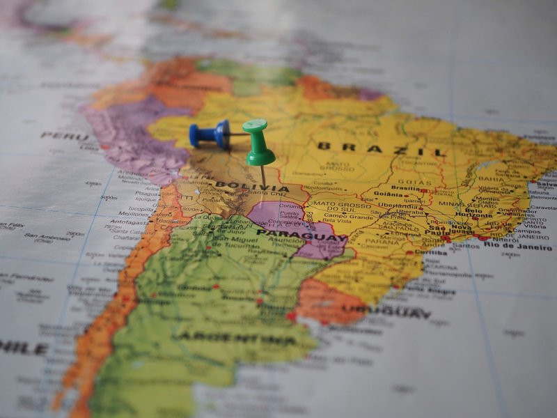
Venezuela shares land borders with three countries: Colombia to the west, Brazil to the south, and Guyana to the east. Beyond that, it has maritime boundaries with Trinidad and Tobago, the Netherlands (via Aruba, Curaçao, and Bonaire), the Dominican Republic, France (via its Caribbean territories), and the United States (via Puerto Rico). That’s three land neighbors and five maritime ones — eight total, though only three show up if you’re drawing a line on solid ground.
Table of Contents
- The Quick Answer
- Colombia: The Long, Contested Western Border
- Brazil: The Amazon Frontier
- Guyana: The Border Venezuela Doesn’t Fully Accept
- The Maritime Neighbors
- FAQ
Ask ten people which countries border Venezuela and eight of them will say Colombia and Brazil, then stall out. Fair enough — Venezuela’s third land neighbor, Guyana, barely registers in most people’s mental map of South America, right up until it’s in the news for a territorial dispute that’s been dragging through the International Court of Justice since 2018.
Here’s the full picture, land and sea, with the context that actually explains why these borders matter beyond geography class.
The Quick Answer
| Neighbor | Border type | Approx. length | What’s notable |
|---|---|---|---|
| Colombia | Land | 2,219 km (1,379 mi) | Longest border; migration and armed-group crossings |
| Brazil | Land | 2,137 km (1,328 mi) | Amazon rainforest, Yanomami territory, mining conflict |
| Guyana | Land | 743 km (462 mi) | Contested — Venezuela claims two-thirds of Guyana |
| Trinidad and Tobago | Maritime | ~11 km at closest point | Shared natural gas fields in the Gulf of Paria |
| Netherlands (Aruba, Curaçao, Bonaire) | Maritime | ~29 km at closest point | Historic refining and trade ties |
| Dominican Republic | Maritime | Treaty boundary, 1979 | Caribbean Sea delimitation |
| France (Guadeloupe, Martinique) | Maritime | Treaty boundary, 1980 | Caribbean Sea delimitation |
| United States (Puerto Rico) | Maritime | Treaty boundary, 1978 | Caribbean Sea delimitation |
Colombia: The Long, Contested Western Border
Colombia and Venezuela share the longest border in South America, stretching from the Caribbean coast down through the Andes and into the Amazon basin. It’s also the busiest — and, since the mid-2010s, the most consequential.
More than 2.8 million Venezuelans have settled in Colombia since Venezuela’s economic collapse began, part of a regional displacement that UNHCR tracks as one of the largest in the world. The main legal crossing sits at the Simón Bolívar International Bridge, connecting Cúcuta on the Colombian side with San Antonio del Táchira on the Venezuelan side. But the bridge tells only part of the story — the border also has hundreds of informal trails known as trochas, many controlled by armed groups that tax or extort anyone who crosses.
Diplomatic relations between the two governments were severed entirely from 2019 to 2022, under Colombia’s Duque administration, before Gustavo Petro’s government reopened the border and restored ties. That history still shapes how cautiously both sides treat the frontier — customs posts, cargo routes, and consular services took years to rebuild after the freeze.
Brazil: The Amazon Frontier
Venezuela’s southern border with Brazil runs almost entirely through rainforest, and it’s the quietest of the three land borders in terms of politics — but not in terms of what happens on the ground.
The single official crossing is between Santa Elena de Uairén, Venezuela, and Pacaraima, in Brazil’s Roraima state. Brazil ran a formal reception operation, Operação Acolhida, to process the wave of Venezuelan migrants arriving through this crossing, many of whom continued on to São Paulo or Manaus rather than staying in Roraima.
The bigger ongoing issue is what crosses the border informally: illegal gold mining, or garimpo, has pushed deep into Yanomami Indigenous territory on both sides of the line, contaminating rivers with mercury and drawing condemnation from Brazilian authorities and international observers alike. It’s the kind of border conflict that never makes a headline map but shows up in health data on mercury poisoning rates in Indigenous communities.
Guyana: The Border Venezuela Doesn’t Fully Accept
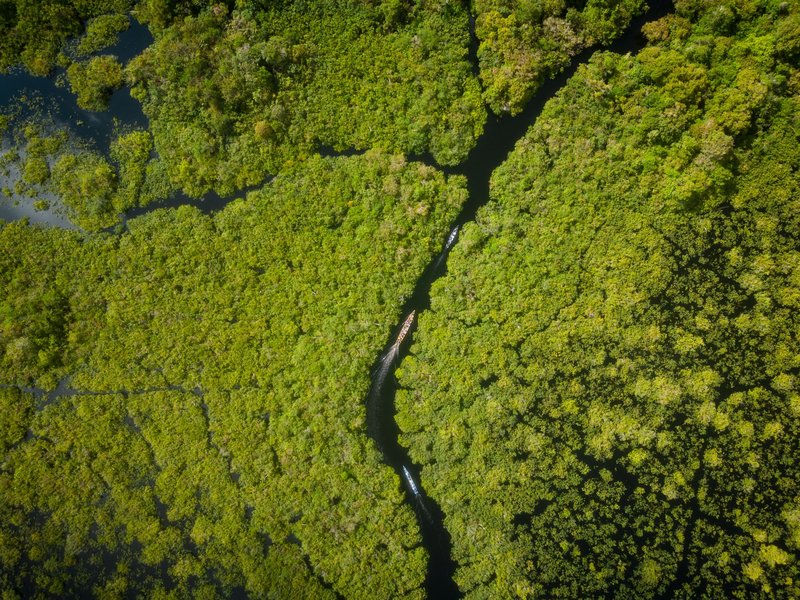
This is the border that makes the other two look simple. Venezuela disputes roughly two-thirds of Guyana’s entire territory — a 159,500 km² region called Essequibo, bounded by the Essequibo River, that’s been administered by Guyana since British colonial rule and recognized as Guyanese under a 1899 arbitration award.
Venezuela never accepted that award, arguing it was negotiated unfairly, and the dispute simmered for decades without much international attention. That changed after 2015, when ExxonMobil discovered massive offshore oil reserves in the Stabroek Block, waters that sit off the Essequibo coast. Guyana’s oil wealth transformed almost overnight, and Venezuela’s claim suddenly had billions of dollars attached to it.
In December 2023, Venezuela held a national referendum asking voters to approve creating a new Venezuelan state out of Essequibo — the government reported overwhelming approval, though turnout was widely disputed. Caracas followed up in 2024 by passing a law formally establishing “Guayana Esequiba” as a Venezuelan state, complete with a governor, even though Venezuela exercises no actual administration there. Guyana, meanwhile, has taken the case to the International Court of Justice, which has issued provisional measures ordering Venezuela not to take any action that would alter Guyana’s control of the territory. The case remains unresolved, and troop movements near the border have periodically raised alarm without escalating into open conflict.
For travelers, this is not a border you cross casually — there’s no functioning legal crossing point through the disputed zone, and the practical Guyana-Venezuela relationship runs through diplomacy and shipping, not roads.
The Maritime Neighbors
Land borders aren’t the whole story. Venezuela’s coastline gives it maritime boundaries — legally negotiated lines in the water, usually tied to exclusive economic zones and continental shelf rights — with five more Caribbean nations and territories.
Trinidad and Tobago sits closest, separated from Venezuela’s Paria Peninsula by a channel so narrow — about 11 km at its tightest point — that it’s visible from shore on a clear day. The two countries share the Loran-Manatee natural gas field beneath the Gulf of Paria, and a long-running unitization agreement governs how they split extraction.
The Netherlands borders Venezuela through the ABC islands — Aruba, Curaçao, and Bonaire — which sit roughly 29 km off the Venezuelan coast at the closest point. Curaçao’s refineries processed Venezuelan crude for most of the 20th century, and the islands remain tied to Venezuela through trade, informal migration, and, at various points, refugee flows.
The Dominican Republic, France (through Guadeloupe and Martinique), and the United States (through Puerto Rico) round out the list, each connected to Venezuela through maritime boundary treaties signed between 1978 and 1980 that carved up the Caribbean Sea among the region’s island territories. These borders rarely make news, but they matter for fishing rights, shipping lanes, and offshore resource claims.
FAQ
How many countries border Venezuela? Three by land — Colombia, Brazil, and Guyana. Counting maritime boundaries, the total rises to eight, adding Trinidad and Tobago, the Netherlands, the Dominican Republic, France, and the United States.
Does Venezuela border Peru? No. Peru doesn’t share a border with Venezuela, land or maritime — Colombia and Brazil sit between them.
Does Venezuela border Brazil? Yes. The Venezuela-Brazil border runs about 2,137 km through rainforest, with a single official crossing at Santa Elena de Uairén and Pacaraima.
Is the Guyana-Venezuela border a real, recognized border? Legally, yes — the 1899 arbitration award set the line still recognized internationally, including by the United Nations. Venezuela disputes it and claims the Essequibo region, but no other country recognizes that claim, and the matter is currently before the International Court of Justice.
Which country has the longest border with Venezuela? Colombia, at roughly 2,219 km, making it both the longest and the most heavily trafficked of Venezuela’s three land borders.