
TLDR
The Missouri-Illinois border runs about 360 miles down the Mississippi River, from Cairo, Illinois in the south to the edge of Iowa in the north. It’s not a straight line — it’s a river, and rivers move, which is why Kaskaskia, Illinois technically sits on the Missouri side of the water today. The major crossings, south to north: Cairo/Bird’s Point, East Cape Girardeau/Cape Girardeau, Chester/Perryville, the Ste. Genevieve-Modoc ferry, East St. Louis/St. Louis, Alton/West Alton, and Quincy/Hannibal (technically 20 miles apart, but paired for good reason — more on that below).
Table of Contents
- Why the Border Is a River, Not a Line
- Kaskaskia: The Illinois Town Marooned in Missouri
- The St. Louis Metro: Twin Cities on Opposite Banks
- North of St. Louis: Alton, West Alton, and the Confluence
- Quincy and Hannibal: Neighbors Who Aren’t Actually Neighbors
- South of St. Louis: Ste. Genevieve, the Last Ferry, and the Popeye Bridge
- Cape Girardeau and East Cape Girardeau
- Cairo: Where Three States Touch
- The Short Version
Why the Border Is a River, Not a Line
Most state borders are surveyed lines, fixed points a surveyor drove a stake into two centuries ago. The Missouri-Illinois border is a river, and rivers don’t hold still. The Mississippi has spent 200 years cutting new channels, abandoning old ones, and occasionally swallowing whole towns’ worth of land during floods — while the legal boundary between the two states stays put on paper, wherever the water happened to be when the line was drawn.
That mismatch is the whole story of this border. It’s why one Illinois town sits entirely on the Missouri side of the river today, why a handful of communities are only reachable by ferry, and why the towns that grew up facing each other across the water ended up more tangled with their opposite-bank neighbor than with the rest of their own state.
Kaskaskia: The Illinois Town Marooned in Missouri
Start here, because it’s the strangest fact on the whole border. Kaskaskia, Illinois — population in the single digits today — sits physically on the west bank of the Mississippi, in Missouri territory, and yet it’s still legally part of Randolph County, Illinois.
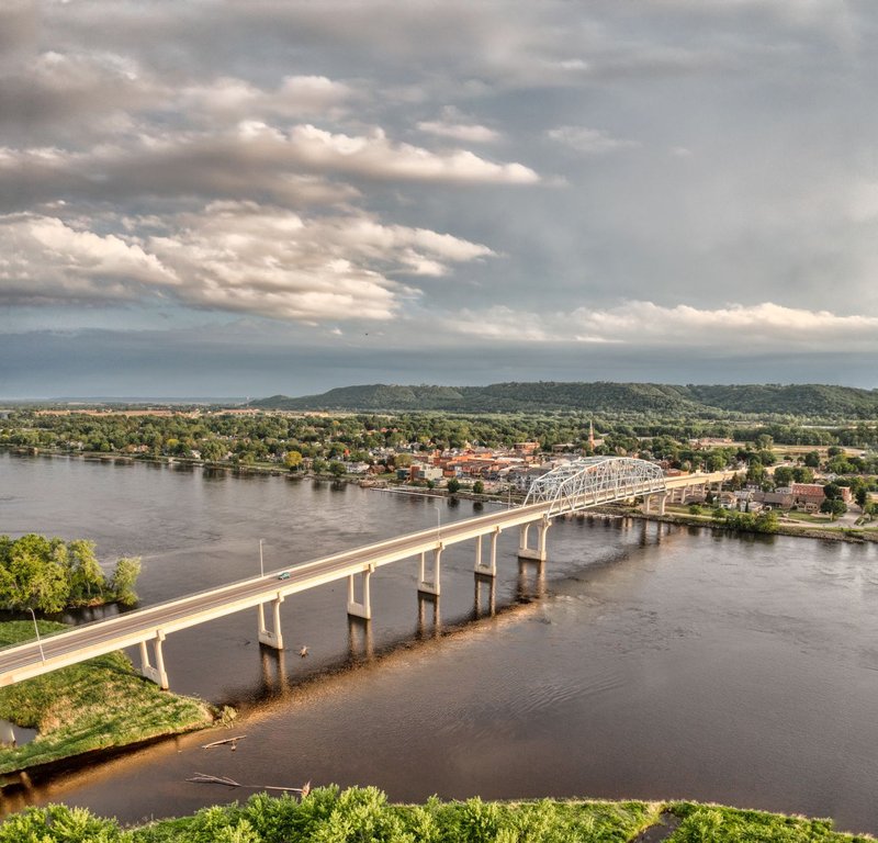
It wasn’t always this way. Kaskaskia was Illinois’s first state capital in 1818, a river town of roughly 7,000 people at its peak. Through the 1800s, steamboat and railroad crews stripped the riverbanks for fuel wood, and a major flood in April 1881 finished the job: the Mississippi jumped its channel, cut a new path more than two miles east, and stranded Kaskaskia on what had been the Missouri side all along. The state boundary never moved to follow it. So today you can only reach Kaskaskia by driving through Missouri and crossing a small bridge over the old river channel — an Illinois town you get to without ever setting foot in Illinois until you arrive.
The St. Louis Metro: Twin Cities on Opposite Banks
The biggest and most obvious pairing on the whole border is St. Louis, Missouri and East St. Louis, Illinois — two cities that share a metro area, a river, and not much else anymore. St. Louis proper runs around 300,000 residents; East St. Louis has shrunk to under 19,000, a fraction of the roughly 82,000 people who lived there at its mid-century peak.
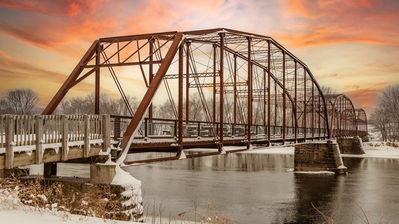
They’re connected by the Eads Bridge, which opened in 1874 as the first bridge to cross the Mississippi south of the Missouri River and is still standing — a National Historic Landmark and, for a while after it opened, the longest arch bridge in the world. Several newer crossings have joined it since (the MLK Bridge, the Poplar Street Bridge, the Stan Musial Veterans Memorial Bridge), but Eads is the one that made the twin-city relationship physically possible in the first place. Cahokia Heights and Sauget round out the Illinois side of the metro, both sitting in East St. Louis’s shadow both geographically and economically.
North of St. Louis: Alton, West Alton, and the Confluence
Head north out of the metro and the river does something unusual: three navigable rivers meet within a few miles of each other. Alton, Illinois sits right at the confluence of the Mississippi, Missouri, and Illinois rivers, while West Alton, Missouri sits across the water at the same junction — home to Jones-Confluence Point State Park, where you can stand and watch the Missouri River’s silty water merge into the Mississippi’s.
The two towns are linked by the Clark Bridge, a cable-stayed span named for explorer William Clark that opened in 1994, replacing a narrow 1928 truss bridge that had carried traffic for over 60 years. It’s the northernmost river crossing in the St. Louis metro area. A few miles further up, Grafton, Illinois marks the point where the Illinois River itself joins the Mississippi — a scenic river town that’s become one of the region’s go-to weekend spots, more resort than crossing point.
Quincy and Hannibal: Neighbors Who Aren’t Actually Neighbors
Quincy, Illinois and Hannibal, Missouri get lumped together constantly, and it’s worth being precise about why: they’re not directly across the river from each other. They’re about 20 miles apart, connected less by a shared riverbank than by a shared regional identity — both mid-sized river cities built on 19th-century steamboat trade, both anchoring the same stretch of the upper Mississippi economy.
Quincy’s actual river crossing partner is West Quincy, Missouri, linked by the Bayview Bridge (US-24 westbound) and the Quincy Memorial Bridge (US-24 eastbound). Hannibal has its own span, the Mark Twain Memorial Bridge, carrying I-72/US-36 across to the Illinois side near Hull. Locals treat Quincy and Hannibal as a matched pair anyway, and a St. Louis Fed regional study on the two cities backs up why: similar populations, similar manufacturing bases, similar struggles holding onto both after the steamboat era ended.
South of St. Louis: Ste. Genevieve, the Last Ferry, and the Popeye Bridge
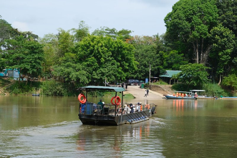
Not every crossing on this border has a bridge. Between Ste. Genevieve, Missouri and Modoc, Illinois, the only way across is the Ste. Genevieve-Modoc Ferry, a working river ferry that’s been running in some form since a French-language petition asked for one in 1798. It’s the only Mississippi River crossing between Chester and Columbia, Illinois — a genuine gap in the highway network that a boat has been quietly filling for over two centuries.
Further south, Chester, Illinois and Perryville, Missouri are connected by the Chester Bridge, the only motor-traffic bridge across the Mississippi between St. Louis and Cape Girardeau. Chester has a claim to fame that has nothing to do with the border: it’s the hometown of Popeye creator E.C. Segar, and a statue of the cartoon sailor stands about 200 feet from the Illinois end of the bridge. The 1942 span is being replaced by a new cable-stayed bridge, the Don Welge Memorial Bridge, expected to open by the end of 2026.
Cape Girardeau and East Cape Girardeau
Cape Girardeau, Missouri is the largest city on this stretch of river south of St. Louis, and its Illinois counterpart, East Cape Girardeau, is a small village that exists mostly because of the crossing. The two are joined by the Bill Emerson Memorial Bridge, a cable-stayed span that opened in 2003 and carries roughly 26,000 vehicles a day — replacing a 1928 bridge that was demolished the year after the new one opened.
Cairo: Where Three States Touch
The border’s southern end isn’t subtle about it. Cairo, Illinois sits on the tip of a peninsula where the Ohio River flows into the Mississippi, and for about a mile past the confluence you can actually see the two rivers running side by side without fully mixing — the Ohio’s brown, sediment-heavy water next to the Mississippi’s comparatively clear green. NASA’s Earth Observatory has photographed the line between them from orbit.
This is also where Missouri, Illinois, and Kentucky come closest to meeting at once. Cairo connects west to Bird’s Point, Missouri via the Cairo Mississippi River Bridge, and east to Kentucky over the Ohio River. Fort Defiance State Park, on the Illinois side, sits right at the point of the confluence and is one of the more dramatic river views on the entire border — two major American rivers becoming one, with three states in view at the same time.
The Short Version
Follow the Mississippi from Cairo to the Iowa line and you’re tracing roughly 360 miles of towns that grew up facing each other: some linked by landmark bridges like Eads and Bill Emerson, some by newer cable-stayed spans, and at least one — Ste. Genevieve to Modoc — still crossed the same way it was in 1798. Missouri’s Department of Transportation maintains the current list of major river crossings if you’re planning a route along it.
And then there’s Kaskaskia, sitting quietly on the wrong side of its own state line, a reminder that the “border town” label on this stretch of river was never as fixed as it looks on a map.