Oklahoma has more than 200 documented ghost towns, and most of them are a field with a historical marker and nothing else. The ones worth driving to are fewer. This guide covers the towns that still have something to see, sorted by region so you can build a weekend route instead of a pile of pins.
One rule before anything else: most of these sites sit on private land. Look from the road, stay out of fenced property, and read the Picher section before you go anywhere near it.
Contents
- Quick picks: where to go first
- Northeast: lead and zinc country
- North-central and Cherokee Strip
- Panhandle and the west
- Southeast: Choctaw Nation and coal country
- Ghost town or just a very small town?
- Visiting without trouble
Quick picks: where to go first
- Most to see in an hour: Ingalls. The gunfight site is marked and the town is still lived in.
- Best for history readers: Doaksville and Boggy Depot in the southeast. Both have a Choctaw Nation and Civil War story, and Boggy Depot has a state park around it.
- Most photographed, least advisable to enter: Picher. Look from public roads only.
- Best Route 66 stop: Texola, right at the Texas line.
Northeast: lead and zinc country
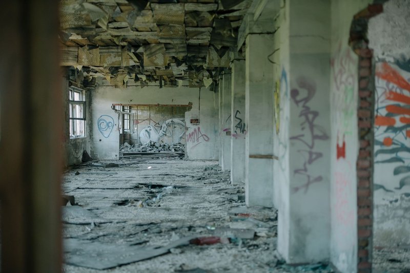
Picher
Picher is the one everyone has heard of. For decades it sat on the Tri-State mining district’s lead and zinc deposits, and its population peaked at roughly 14,000 in the 1920s. The mines closed in the 1960s, and what the industry left behind was the Tar Creek site: flooded underground workings, towering piles of mine waste called chat, and contaminated water. The federal government listed it as a Superfund site, and Tar Creek is among the most famous on the list.
Then in 2008 a tornado killed six people in town, and a federally funded buyout pushed most remaining residents out. Picher was disincorporated in 2013.
What’s left: empty streets, a shuttered school, concrete foundations, and the chat piles that rise above the horizon like gray hills.
Visit note: Ottawa County, about 45 minutes from Joplin, Missouri, close to the Missouri border towns. The hazards are real: lead-laden dust, collapsing ground over old workings, and sinkholes. Drive the public roads, don’t walk the chat piles, and don’t enter any building. Take no children and no dogs onto the piles.
North-central and Cherokee Strip
Ingalls
In September 1893, the Doolin-Dalton gang and a posse of U.S. deputy marshals shot it out in Ingalls’ main street. Three deputies died, and so did a bystander. The gang mostly escaped. Today the Payne County town is a small cluster of homes with a marker and a few old building fronts, and it’s the easiest stop on this list because people still live there.
Visit note: Payne County, roughly 20 minutes from Stillwater. Respect residents’ property; this is a town, not an exhibit.
Ingersoll
Ingersoll belongs to the Cherokee Outlet, the strip of northern Oklahoma opened in the 1893 land run. Like dozens of towns in the strip, it bet on the railroad and lost when the line went elsewhere. TravelOK’s ghost town guide profiles it, and it works best as a stop on a Cherokee Strip drive rather than a destination on its own.
Visit note: Alfalfa County, deep in wheat country. Almost everything is private farmland, so photograph from the road.
Skedee and Kusa
Both come up repeatedly in Oklahoma ghost town coverage. Skedee, in Pawnee County, is a leftover from the oil boom era, and Kusa in Okmulgee County started as a coal town. Neither has much of a visitor infrastructure, so treat them as drive-throughs if you’re passing nearby, not as reasons to plan a trip.
Panhandle and the west
Beer City
Beer City existed for about two years. Founded around 1888 in the lawless strip known as No Man’s Land, near the Kansas border, it sold liquor to a dry Kansas, and its saloons did well until the territory was organized and the boom dried up. Nothing meaningful survives, so go for the story and the empty horizon, not the ruins.
Visit note: Beaver County, far northwest. Plan this as part of a Panhandle drive; the nearest services are some distance away.
Texola
Texola is on Route 66 about as far west as Oklahoma goes, a few hundred feet from Texas. It has a population in the dozens, a few leaning commercial buildings, and the kind of main street where the cars have to be on the highway to prove anyone lives there. Technically it’s alive, but the Route 66 stretch through it is an easy argument for including it.
Visit note: Beckham County. It’s an easy highway stop and a good pairing with other Route 66 towns in the area.
Southeast: Choctaw Nation and coal country
Doaksville
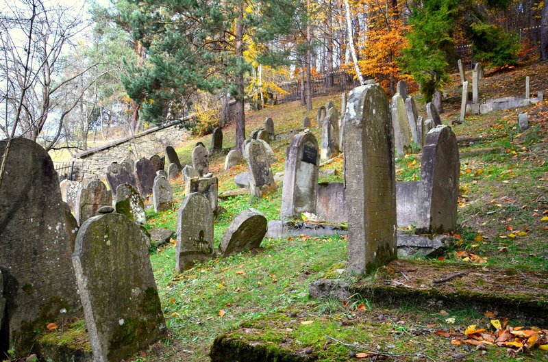
Doaksville was the Choctaw Nation’s commercial center in the 1850s and served as its capital for a time. On June 23, 1865, Cherokee Brigadier General Stand Watie surrendered here, the last Confederate general to do so. The town faded when the railroad went through elsewhere, and its post office closed in 1902. Today the site is a field with interpretive signs and the archaeological outline of a town. It’s managed in connection with Oklahoma’s state history organization, which is a good place to start for background.
Visit note: Choctaw County, near Fort Towson. Readable, easy to access, and short enough to pair with Fort Towson.
Boggy Depot
Boggy Depot was a stage stop on the Texas Road and, later, the Butterfield Overland Mail route, and it served as a Choctaw Nation town. When the MKT railroad bypassed it in 1872, it started to die. The cemetery is the remaining anchor, with graves from settlers and Confederate soldiers, and the state park next to it gives you shaded places to walk.
Visit note: Atoka County, just off the highway. This is the most traveler-friendly site in the southeast, and you can make an afternoon of it.
Ghost town or just a very small town?
A lot of “ghost towns in Oklahoma” lists include places where people still live. There’s a real difference between a town where the last shop closed and a town where nobody comes back.
- Cooperton (Kiowa County) is still incorporated, with only a handful of residents.
- Knowles (Beaver County) is a Panhandle town with a school and a couple of hundred people.
- Lotsee (Tulsa County) is a small incorporated town on Tulsa’s edge, hardly abandoned but unusually quiet.
- Hoot Owl is another tiny community that tends to show up on abandoned-town lists.
If you want a stop with no one around, these aren’t it. If you want the sight of a place hanging on, they’re worth a look.
Visiting without trouble
- Private property: Nearly every ghost town site is on private land. Trespassing charges are real, and a farm owner with a gate isn’t joking.
- Structures: Old buildings fall down. Don’t go inside, and don’t climb.
- Picher: Stay on public roads. Check current access before you drive up.
- Services: The Panhandle and Cherokee Strip have long gaps between gas stations. Fill up.
- Seasons: Spring brings tornado risk; summer brings heat and little shade at open sites like Doaksville.
A route that works
If you have a long weekend, drive the northeast first (Picher, then Ingalls on the way back toward Oklahoma City). On a second trip, head southeast for Doaksville and Boggy Depot, then add Texola on a Route 66 run. Oklahoma’s ghost towns are scattered, so groupings like these save a lot of driving.