Quick answer: Papua New Guinea borders exactly one country by land — Indonesia. But that single fact hides the more interesting story, because PNG also shares maritime borders with Australia and the Solomon Islands. So depending on how you count, the answer is “one” or “three,” and most pages online pick one and ignore the rest.
Here’s the whole thing, sorted out.
The Quick Answer Table
| Country | Border type | Length / distance | Direction from PNG |
|---|---|---|---|
| Indonesia | Land (and maritime) | 824 km / 512 mi land | West |
| Australia | Maritime only | ~150 km at narrowest (Torres Strait) | South |
| Solomon Islands | Maritime only | ~1,900 km boundary line | Southeast |
If you only needed the headline, you have it. The rest of this explains why the land-versus-sea distinction actually matters, where the one official crossing is, and why the Indonesia border looks like someone drew it with a ruler.
Table of Contents
- Land vs. Maritime Borders: Why It Matters
- Indonesia: The Only Land Neighbor
- The One Border Crossing You Can Actually Use
- Australia: Closer Than You’d Think
- The Solomon Islands: A Border Made of Open Water
- Frequently Asked Questions
Land vs. Maritime Borders: Why It Matters
A land border is a line you can stand on. A maritime border is a line drawn across water — agreed by treaty, marked on charts, invisible from a boat. You can’t walk across it, and most travelers never notice it exists.
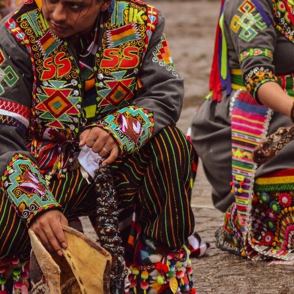
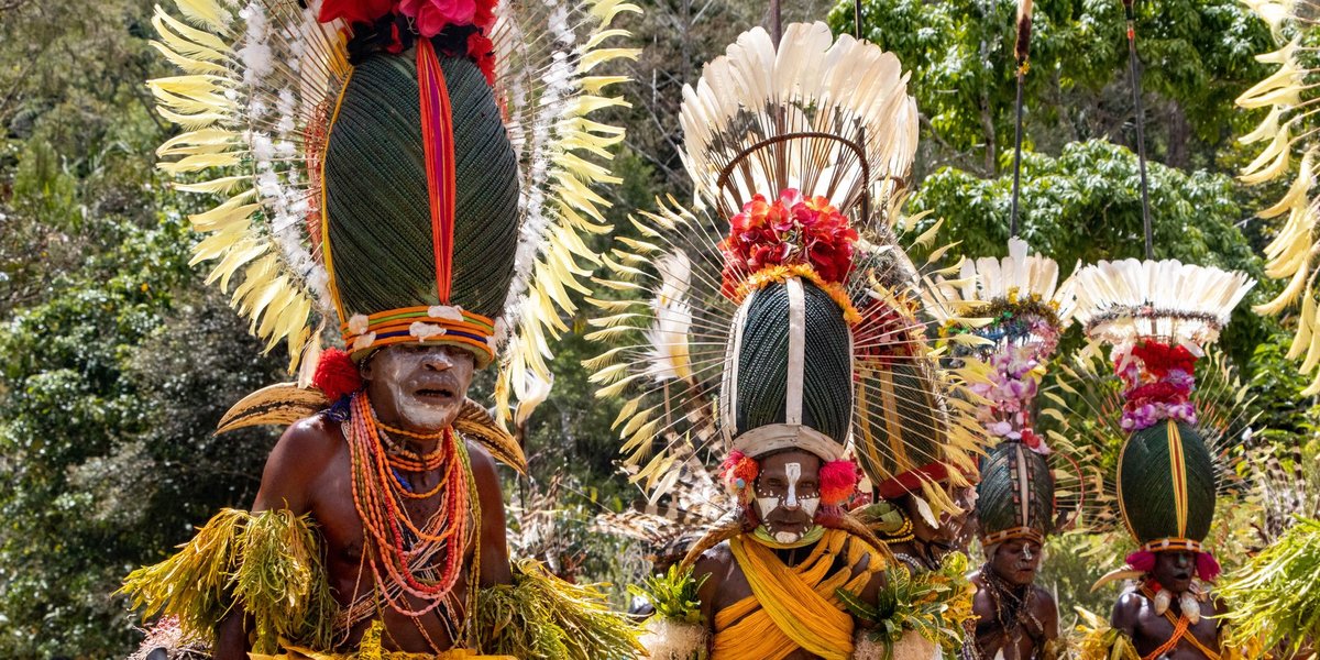
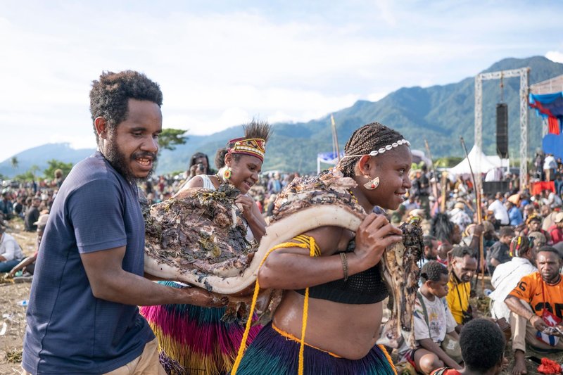
This distinction is the whole reason “how many countries border PNG?” trips people up. PNG occupies the eastern half of the island of New Guinea. The western half is Indonesian. That’s the one place where PNG actually touches another country on solid ground. Everywhere else, the country is surrounded by sea, and its neighbors are separated by water that belongs to one nation or the other. It’s a pattern you see across the region — plenty of Pacific nations have no land borders at all, which is why Oceania has no landlocked countries and so many of its states meet their neighbors only at sea.
So when a quiz says “one country,” it means land. When an atlas says “three,” it’s counting the sea boundaries too. Both are right. They’re just answering slightly different questions.
Indonesia: The Only Land Neighbor
The island of New Guinea is split almost down the middle. The western half is the Indonesian provinces collectively known as Western New Guinea (Papua and West Papua); the eastern half is Papua New Guinea. The land boundary runs 824 km — about 512 miles — from the north coast to the south.
Look at it on a map and one thing jumps out: it’s almost perfectly straight. The border mostly follows the 141st meridian east, a line of longitude, with a short detour where it bends to the 141°01′ meridian and dips along the Fly River for a stretch before continuing south. That’s why it reads as two near-vertical lines joined by a river — it was drawn by colonial administrators (Dutch on the west, German then British and Australian on the east) using lines of longitude rather than rivers or mountain ranges, the way many older borders were set.
The boundary was inherited rather than negotiated between the modern states, then formalized through agreements between Indonesia and Australia (which administered PNG before its 1975 independence) and later confirmed by treaty. The straight-line approach has a real-world cost: it cuts through dense, roadless rainforest and divides Indigenous Papuan groups whose traditional lands sit on both sides.
The One Border Crossing You Can Actually Use
For all 824 kilometers of it, there is effectively one official land crossing: the Wutung border post on the north coast, linking Vanimo in PNG with Jayapura in Indonesia’s Papua province.
This matters if you’re actually traveling. You can’t just walk across the rainforest border wherever you reach it. The terrain is brutal, much of it is unmonitored, and crossing outside the official post is both illegal and genuinely dangerous. The Vanimo–Jayapura route is the legitimate option, and even that requires the right visas sorted in advance on both sides — this is not a casual day-trip border like you’d find in Europe.
Most travelers never use it. PNG is overwhelmingly reached by air, and overland travel between the two halves of New Guinea is rare enough that the crossing sees a fraction of the traffic you’d expect from a 500-mile border.
Australia: Closer Than You’d Think
PNG and Australia don’t share a scrap of land, but at their closest they’re stunningly near each other. The Torres Strait — the stretch of sea between PNG’s southern coast and the tip of Australia’s Cape York Peninsula — is only about 150 km wide, and it’s dotted with islands. Some Australian-administered islands in the strait sit just a few kilometers off the PNG mainland. Just to the north of this strait lies the broad Gulf of Papua, one of the larger gulfs in Oceania, which carves into PNG’s southern coastline.
The maritime boundary here was settled by the Torres Strait Treaty, signed in 1978 and in force from 1985. It’s an unusually clever piece of diplomacy: rather than drawing one hard line, it created a Protected Zone that lets traditional inhabitants — Torres Strait Islanders and coastal Papuans — keep moving across the border for fishing and customary activities the way they have for generations. The treaty also drew separate lines for the seabed and the fishing rights, which is why the maritime boundary in this area is genuinely two boundaries stacked on top of each other.
So no land link, but the sea border with Australia is arguably PNG’s most actively used and carefully managed boundary.
The Solomon Islands: A Border Made of Open Water
To the southeast, PNG faces the Solomon Islands across open ocean. There’s no land contact at all — the two countries are separated by sea, and the boundary between them is a single long maritime line, roughly 1,900 km in length, defined by treaty and made up of straight segments between fixed coordinate points. PNG is far from the only neighbor here, either; the Solomon Islands themselves are an archipelago with several maritime borders of their own and no land borders at all.
There’s a geographic quirk worth knowing: Bougainville, an autonomous region of PNG, is geographically part of the Solomon Islands archipelago. Politically it belongs to Papua New Guinea (for now — Bougainville held an independence referendum in 2019), but it sits at the northern end of the same island chain as the nation of the Solomon Islands. The maritime border threads between Bougainville and the Solomons’ northern islands, which is why a line drawn across empty water ends up being one of the longest borders PNG has.
Summary
So, the clean version:
- By land: one neighbor — Indonesia (824 km / 512 mi), the only country PNG physically touches.
- By sea: two more — Australia across the Torres Strait, and the Solomon Islands across open ocean.
- In practice: one usable crossing, at Vanimo–Jayapura on the north coast.
The “one country” answer isn’t wrong. It’s just incomplete. Papua New Guinea is an island nation that happens to share half an island, which makes it one of those rare places where “what countries border it?” genuinely depends on whether you’re standing on land or floating on the sea.
Frequently Asked Questions
Does Papua New Guinea border Indonesia? Yes. Indonesia is PNG’s only land neighbor. The two share the island of New Guinea, with the 824 km (512 mi) border running roughly along the 141st meridian east.
How many countries border Papua New Guinea? One by land (Indonesia) and three in total if you include maritime borders (adding Australia and the Solomon Islands).
Can you cross the border from Papua New Guinea to Indonesia? Yes, at one official crossing: the Wutung post linking Vanimo (PNG) and Jayapura (Indonesia) on the north coast. You’ll need visas arranged in advance for both countries.
Does Papua New Guinea border Australia? Not by land. The two share a maritime border across the Torres Strait, where they’re about 150 km apart at the closest point, governed by the 1978 Torres Strait Treaty.
Why is the Papua New Guinea–Indonesia border so straight? Because it was drawn by colonial powers along a line of longitude (the 141st meridian) rather than following natural features. It bends only briefly to follow a short stretch of the Fly River.