TLDR
No. The Marshall Islands has zero rivers, zero streams, and zero permanent lakes — and it’s not close. The entire country sits on low coral atolls, none of which rise more than a few meters above sea level, so there’s no elevation for water to run downhill and carve a channel. Instead, Marshall Islanders depend on rainwater catchment and a thin underground layer of fresh groundwater called a freshwater lens, both of which are under real strain from drought and rising seas.
Table of Contents
- Why the Marshall Islands Has No Rivers
- High Islands vs. Atolls
- So Where Does the Water Come From?
- The Freshwater Lens Is Doing a Lot of Work
- Majuro Has Run Out of Water Before
- The Marshall Islands Isn’t Alone
Why the Marshall Islands Has No Rivers
Rivers need two things: elevation to flow downhill, and enough exposed landmass to collect and channel runoff before it either evaporates or sinks into the ground. The Marshall Islands has neither.
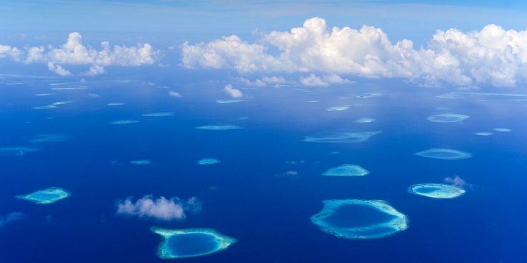
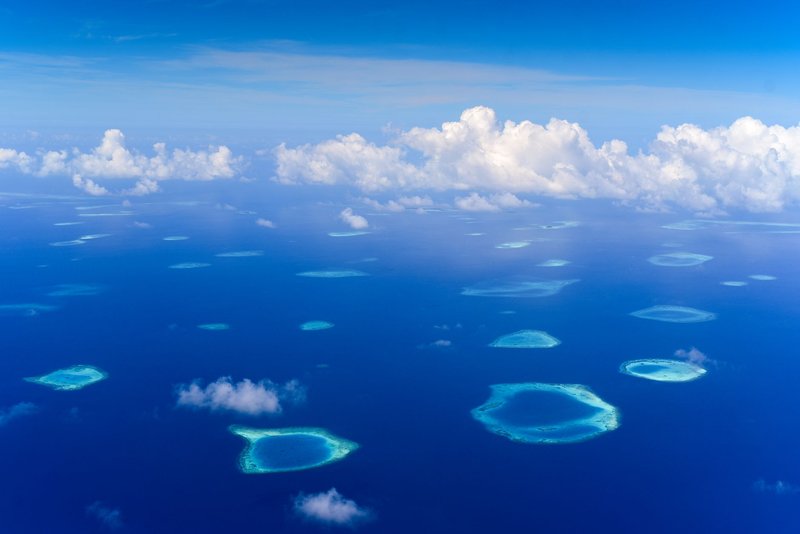
The country is made up of 29 atolls and 5 individual islands, and the highest natural point in the entire nation tops out at roughly 10 meters (33 feet). Most of that land is a thin ring of coral rubble and sand wrapped around a lagoon, often just a few hundred meters wide. There’s no mountain, no plateau, nowhere for rain to gather momentum. It either soaks straight into the porous coral rock or runs a few dozen feet before hitting the ocean.
This isn’t a Marshall Islands quirk. It’s true of coral atolls everywhere, and the National Geographic explainer on atolls lays out why: atolls form when a volcanic island subsides beneath the waves over millions of years, leaving only the coral reef that had been growing around its edges. What’s left is essentially a reef, not a mountain — geologically incapable of producing a river system no matter how much rain falls on it.
High Islands vs. Atolls
The Pacific splits roughly into two kinds of islands, and which one you’re standing on determines whether you’ll ever see a river.
| High Islands (Fiji, Hawaii, Samoa) | Atolls (Marshall Islands, Tuvalu, Kiribati) | |
|---|---|---|
| Origin | Active or extinct volcanoes | Coral reef grown around a sunken volcano |
| Elevation | Hundreds to thousands of meters | Rarely above 3–10 meters |
| Rivers/streams | Yes — permanent, often numerous | None |
| Soil | Volcanic, can hold and channel water | Coral sand and rubble, highly porous |
| Freshwater source | Rivers, springs, reservoirs | Rainwater catchment, underground freshwater lens |
Fiji’s Rewa River drains a volcanic interior that rises over 1,300 meters. The Marshall Islands has no interior at all — just a rim of land circling open water. Compare the two side by side and the absence of rivers stops looking like a mystery and starts looking obvious.
So Where Does the Water Come From?
Without rivers, lakes, or year-round streams, Marshall Islanders get freshwater from two sources: rain, caught directly off rooftops into cisterns and storage tanks, and a fragile pocket of fresh groundwater sitting just beneath the surface of each island.
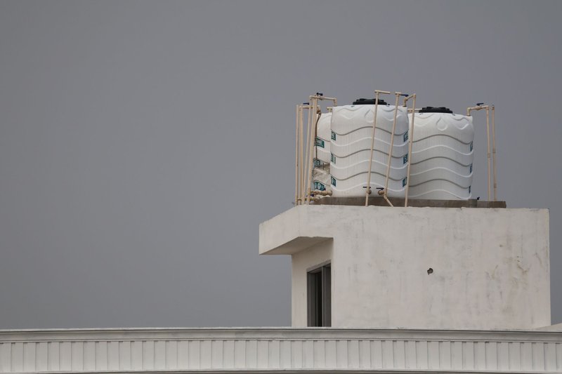
Rooftop catchment is the most direct method — practically every home and public building on Majuro and the outer atolls has some kind of gutter-to-tank setup, because it’s the only water supply that doesn’t depend on drilling or infrastructure. When the tanks run dry, households fall back on the second source.
The Freshwater Lens Is Doing a Lot of Work
That second source is called a freshwater lens, and it’s a strange enough phenomenon that it’s worth explaining properly. Because fresh rainwater is less dense than seawater, it doesn’t mix evenly into the ground beneath an atoll — it floats on top of the saltwater intrusion in a shallow, lens-shaped pocket, typically just a few meters thick at its deepest point.
It works, but barely. The lens is entirely rain-fed, so a dry season of a few months can shrink it dramatically, and over-pumping from wells can pull saltwater up into it and ruin it for years. The general hydrology behind this — how fresh and salt groundwater interact — is covered in detail by the USGS’s overview of groundwater and surface water, and it explains why a supply that sounds abundant on paper can vanish within weeks on a real atoll.
Climate change makes this worse on two fronts: sea level rise pushes saltwater further into the lens from below, and shifting rainfall patterns mean the recharge that rebuilds the lens after a dry spell is getting less predictable.
Majuro Has Run Out of Water Before
This isn’t a theoretical risk. Majuro, the capital atoll and home to roughly half the country’s population, declared a state of emergency in 2013 after months without meaningful rain left households rationing water and the freshwater lens too depleted to rely on. Schools closed early, and water was shipped in and distributed by truck.
The Pacific ENSO Applications Climate Center, which monitors drought risk across the Pacific islands in partnership with NOAA, tracks exactly this kind of event — because El Niño years tend to bring extended dry spells to the Marshall Islands and neighboring atoll nations, and a country with no rivers or reservoirs to fall back on has almost no buffer when the rain doesn’t come.
The Marshall Islands Isn’t Alone
If you’re picturing the Marshall Islands as some geographic oddity, it’s not — it’s just one member of a fairly large club. Roughly a dozen and a half countries and territories have no rivers at all, and nearly all of them share the same two profiles: low coral atoll nations (Tuvalu, Kiribati, Nauru) or tiny city-states with too little land area to generate one (Monaco, Vatican City). Bahrain and Qatar make the list too, for similar reasons involving arid, low-relief terrain rather than atoll geology specifically.
What sets the Marshall Islands apart isn’t the absence of rivers — it’s how directly that absence shapes daily life. No river means no easy answer when the rain stops.