Contents
- How Grenada’s rivers work
- The main rivers at a glance
- River profiles
- Rivers and waterfalls: what you can actually visit
- Practical details: fees, guides, safety, timing
- History and ecology
- FAQ
- Summary
How Grenada’s rivers work
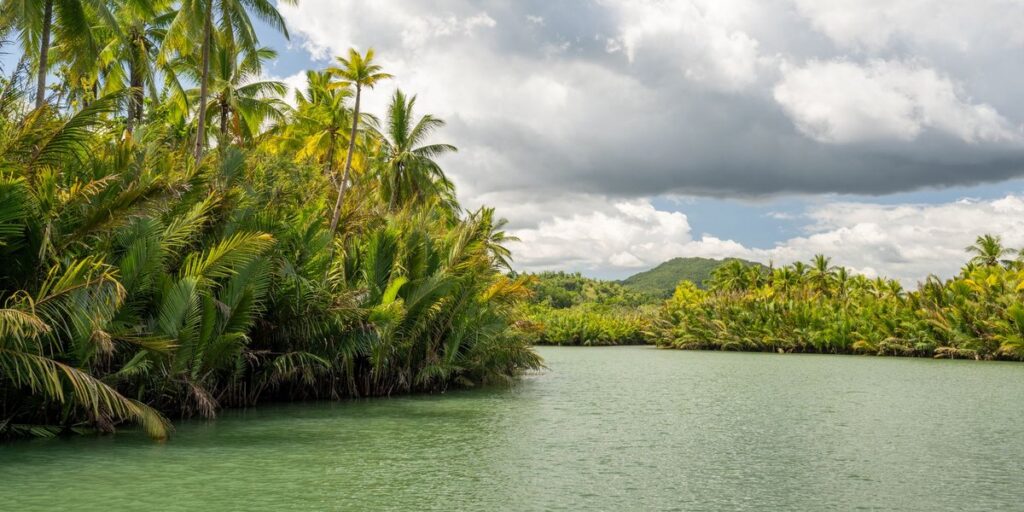
Grenada has dozens of rivers, and you can’t paddle a single one of them. Rivers in Grenada are short, steep, rain-fed streams that start in the central mountains and run to the coast in a few miles. The island is only about 21 miles long, so there isn’t room for anything bigger.
The high point is Mount St. Catherine at 840 meters (2,757 feet), according to the CIA World Factbook. Rain falls on that volcanic spine, cuts into soft, weathered rock, and drops fast. That is why the island has so many waterfalls: each river steps down over harder rock on its way to the sea.
Two things follow from the geography. First, the flow is tied to rainfall. After a wet-season downpour a river can turn brown and fast within an hour. In April it can shrink to a chain of pools. Second, the rivers radiate outward from the interior, so almost every parish has at least one.
The sister islands are different. Carriacou and Petite Martinique have no rivers. They are low, dry limestone-and-volcanic islands, and water comes from rain tanks and wells. If you’re after rivers, you’re on the mainland.
The main rivers at a glance
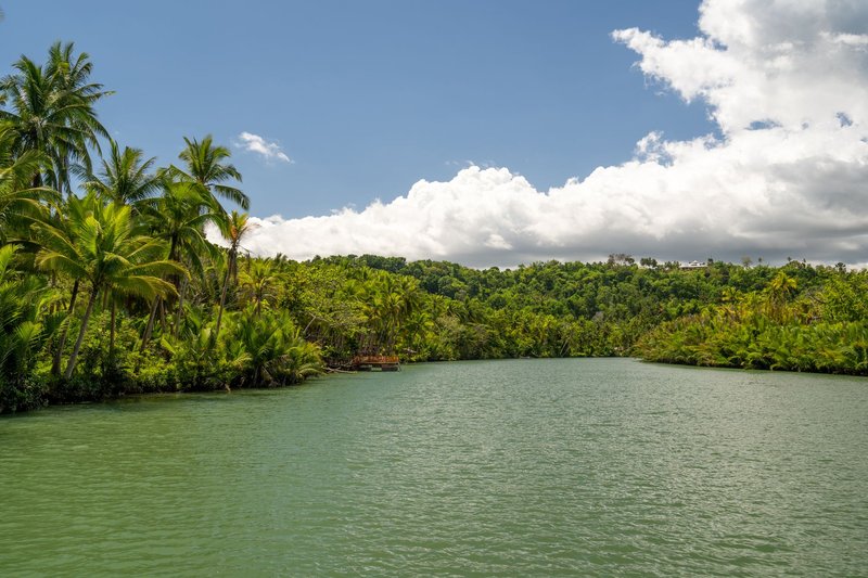
The Wikipedia list of Grenada’s rivers counts 52, grouped by parish. Most are small streams with a name and a set of coordinates and nothing else. The ones below are the rivers a visitor will actually run into, either because a road crosses them, a hike follows them, or a business is built beside them.
| River | Parish | Why it matters |
|---|---|---|
| Marquis | St. Andrew | Feeds the pools and falls near Royal Mount Carmel; crossed on local hikes |
| Grand Bras | St. Andrew | Interior river in the farming country of the east |
| Antoine | St. Patrick | Powers the waterwheel at the River Antoine rum distillery |
| Tempé | St. Patrick | Named for an estate, like many Grenadian rivers |
| Gouyave (St. John’s) | St. John | Reaches the sea at Gouyave, on the west coast |
| Great Requin | North and west slopes | Name comes from the French for “shark” |
| Great River | Central uplands | One of the larger drainages off the Grand Etang range |
Lengths are left out on purpose. No source I’d trust publishes consistent figures for these streams, and any number you see on a blog is a guess.
River profiles
Marquis River
The Marquis is the river most visitors meet without knowing it. It runs through St. Andrew on the Atlantic side, and it’s the water underneath Royal Mount Carmel Falls. Hikers heading to the falls cross it and its tributaries, and the swimming pool at the base is fed by it. The east coast gets more rain than the south, so the Marquis carries water longer into the dry season than the streams around St. George’s.
Grand Bras
Grand Bras is a farming river. It drains the interior of St. Andrew, where nutmeg, cocoa and banana plots climb the slopes. Expect it to run cloudy after rain, because it picks up soil from cultivated ground. It isn’t a tourist stop, but the roads around it are some of the best for seeing how Grenadians use their land.
Antoine
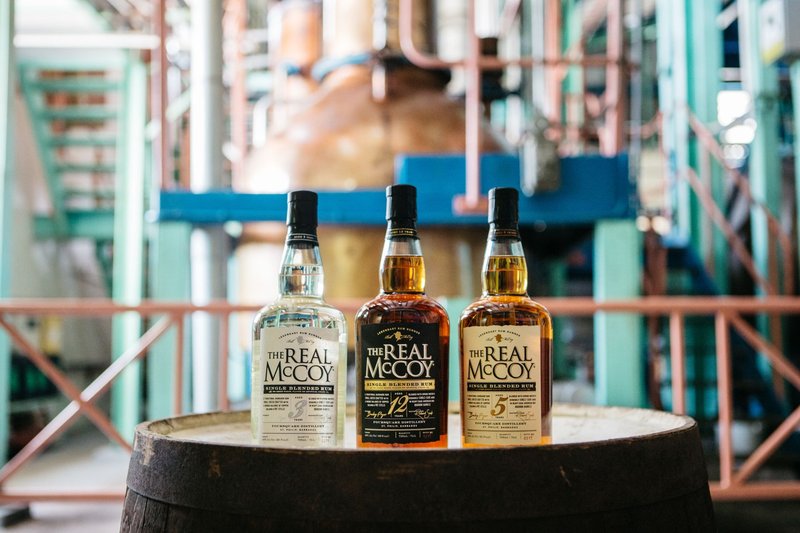
The River Antoine Estate in St. Patrick is the reason this name is famous. The distillery has used a water-driven wheel to crush sugarcane for generations, and it’s one of the few places in the Caribbean where you can watch it turn. The river is the machinery here. Visit on a crushing day and you see rum production the way it worked before electricity.
Tempé
Tempé takes its name from an estate, and that pattern repeats across the island. Estates were the first fixed landmarks on a colonial map, so the rivers that ran through them took the same names. If a Grenadian river sounds French or like a plantation, that’s why.
Gouyave (St. John’s)
The Gouyave River, which also appears under St. John’s, finishes at the west-coast town of Gouyave, the island’s fishing hub. The west side is drier and calmer than the east, so this river is less dramatic than the Marquis, but it connects the mountain interior of St. John to the Caribbean coast. Concord Falls sits in the same parish.
Great Requin
Requin is French for shark. There are no sharks in the river. The name is a leftover from the French period, before Britain took the island in the 18th century. Most Grenadian river names are French, and it’s a quick way to trace the island’s history on a road map.
Great River
The Great River drains part of the central uplands near the Grand Etang range. It’s the largest-sounding name on the list, but “great” in Grenada is relative: the island’s longest rivers are streams by continental standards.
Rivers and waterfalls: what you can actually visit
Almost nobody travels to Grenada to look at a river. They go for what the river does on the way down. Here’s how the main sites connect.
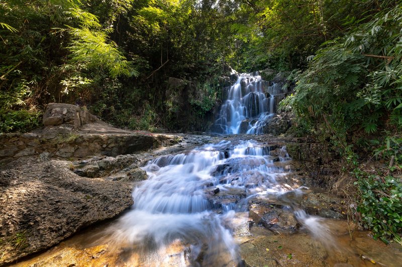
- Royal Mount Carmel Falls (St. Andrew). Fed by the Marquis system. A short walk, a good pool, and a rope-swing crowd on weekends.
- Concord Falls (St. John). The most accessible of the island’s falls by car, in the west. The first of its three falls is a short walk from the parking area. Reaching the upper falls takes more effort and, usually, a guide.
- Annandale Falls (St. George). Close to Grand Etang National Park and the easiest stop on the island: a few minutes from the road, a deep pool, and local divers who jump for tips.
- Seven Sisters Falls (St. George). A forest hike to a set of linked falls and pools, in the Grand Etang area. The trail can be muddy.
- River hikes and crossings. Several walks, including the Tufton Hall route and the Honeymoon Falls hike, mean wading across streams. You will get wet to the knee or higher. For more outdoor options beyond the water, see 10 adventurous things to do in Grenada.
- River tubing. Run by local operators in the east. Ask your hotel, since operators change season to season.
If swimming is the goal, pools below the falls are the best bet. Open river stretches are shallow, rocky and variable.
Practical details: fees, guides, safety, timing
Fees. Most falls charge a small entry fee, paid in Eastern Caribbean dollars (EC$2.70 to US$1, a fixed peg). Carry small notes in EC cash; not every site takes cards. Guides usually charge a separate fee. Agree on the price before you start.
Guides. You can do Annandale and the lower Concord Falls alone. Use a guide for Seven Sisters, the upper Concord Falls, and any hike with river crossings you haven’t done before. Trails branch and markers disappear.
Wet-season safety. The wet season runs from June to December, overlapping the Atlantic hurricane season, which the National Hurricane Center tracks from June 1 to November 30. Grenada sits at the southern edge of the usual storm track, but Hurricane Ivan hit in 2004 and Hurricane Beryl devastated Carriacou and Petite Martinique in 2024. The rule on rivers is simple: if it has rained heavily upstream, stay out. Water rises before it rains on you.
Health. Freshwater in the tropics can carry leptospirosis, which spreads through water contaminated by animal urine. The CDC advises avoiding swimming in water that may be contaminated, especially with open cuts. Skip the dip after heavy rain and cover any scrapes.
Best months. January to May is dry season. Trails are firmer, the water is clearer, and river crossings are lower. Falls still run, just thinner. For full flow and green slopes, go in late wet season and accept the mud.
What to bring. Shoes with grip (reef shoes or old trainers), a dry bag, a towel, and a plastic bag for wet clothes.
History and ecology
Water has shaped Grenada’s economy since the sugar era. Estates were placed along rivers for irrigation, milling and transport, and that is why so many rivers carry estate names. Antoine and Tempé are the two best examples. Nutmeg and cocoa replaced sugar as the main crops, and those farms are still fed by the same watersheds.
Today the rivers also supply drinking water, and the forest above them is the reason the supply holds up. Grand Etang National Park protects the central watershed, including the crater lake at its heart. Clear-cutting upstream means muddier water downstream, which is why you’ll see conservation signs on interior roads.
The rivers also support wildlife you rarely see from the trail: freshwater shrimp and fish, and in the forest above them the Grenada dove and mona monkeys (introduced centuries ago). Streams are small habitats, but on an island this size they matter.
FAQ
How many rivers are there in Grenada? The Wikipedia list names 52. None are navigable.
Does Carriacou have rivers? No. Carriacou and Petite Martinique have none.
Can you swim in Grenada’s rivers? Yes, in the pools below falls such as Annandale, Royal Mount Carmel and Concord. Avoid swimming after heavy rain.
What is the longest river in Grenada? There’s no authoritative published ranking by length, so no one answer holds up.
Do you need a guide? Not for Annandale or the lower Concord Falls. For Seven Sisters and upper falls, yes.
When is the best time to visit? January to May, for lower, clearer water.
Summary
Rivers in Grenada are short, steep and rain-fed, and the island’s waterfalls are the best way to see them. The Marquis, Grand Bras, Antoine, Tempé, Gouyave, Great Requin and Great River are the names to know. Go in the dry season, carry EC cash, hire a guide for the longer hikes, and stay out of the water after rain.