Nauru has no rivers. Not one. No streams, no creeks, nothing you could float a leaf down. For a country surrounded by the Pacific Ocean, that sounds like a riddle, but the answer comes down to one stubborn fact: the island is essentially a giant block of porous coral limestone, and water on Nauru sinks before it can ever flow.
So if you came here to find the name of Nauru’s longest river, you can stop looking. There isn’t one. The more interesting question is why — and where the island’s water actually goes.
Table of Contents
- The short answer
- Why Nauru has no rivers
- What Nauru has instead: lagoons, ponds, and a cave lake
- So where does the drinking water come from?
- How Nauru compares to its Pacific neighbors
- Climate change is shrinking the margin
- Quick facts
- FAQ
The short answer
Nauru is one of the smallest countries on Earth — about 21 square kilometers, roughly the size of a mid-sized airport. It has no rivers, no permanent streams, and no natural freshwater lake worth the name. The CIA World Factbook lists the island’s natural hazards and resources without a single watercourse, because there are none to list.
That’s not an oversight or a quirk of mapping. It’s geology doing exactly what geology does on a raised coral island.
Why Nauru has no rivers
Rivers need two things: rain, and a surface that holds water long enough to let it run downhill and collect. Nauru has plenty of the first and almost none of the second.
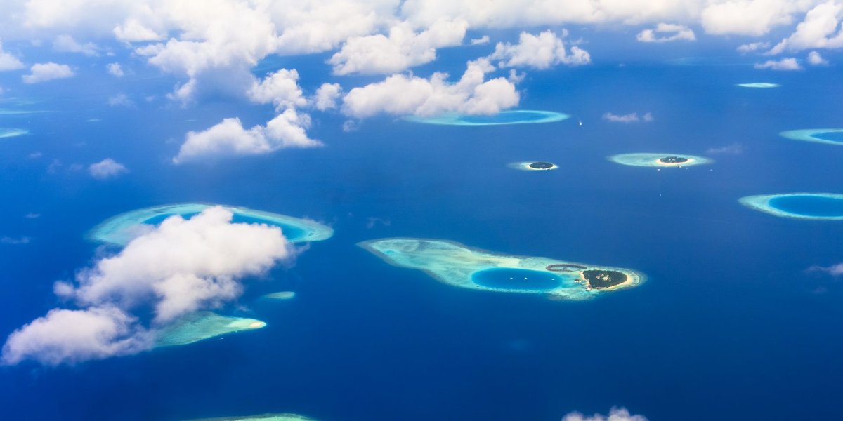
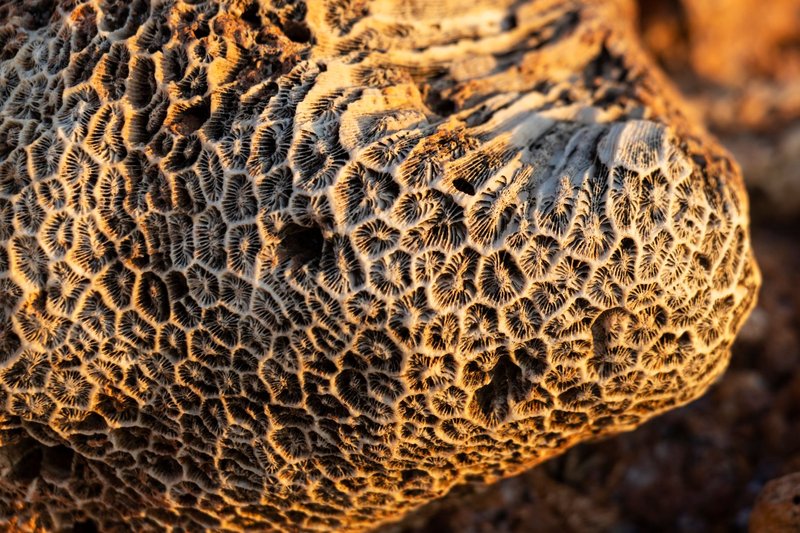
The island is what geologists call a raised coral atoll — an old reef that got lifted above sea level over millions of years. Underneath the thin topsoil sits limestone and phosphate-rich coral rock, and limestone is about as watertight as a colander. When rain falls, it doesn’t pool or stream across the land. It percolates straight down through the permeable rock and disappears into a freshwater lens floating on the denser saltwater below.
No surface runoff means no channels carve into the land over time. No channels means no rivers. The water table does the job a river would do elsewhere — it just does it underground, out of sight.
There’s a second factor most people miss. A century of phosphate mining stripped Nauru’s interior down to a moonscape of jagged limestone pinnacles, locally called “Topside.” That mined-out plateau covers most of the island’s center and is even less able to hold water than the original surface. Roughly 80% of the island was rendered unusable by mining, which the United Nations and Nauru itself have flagged as a long-term environmental wound. So even the little topsoil that might once have slowed rainfall is largely gone.
What Nauru has instead: lagoons, ponds, and a cave lake
No rivers doesn’t mean no water features. Nauru has a few — they’re just not freshwater, and they’re not flowing.
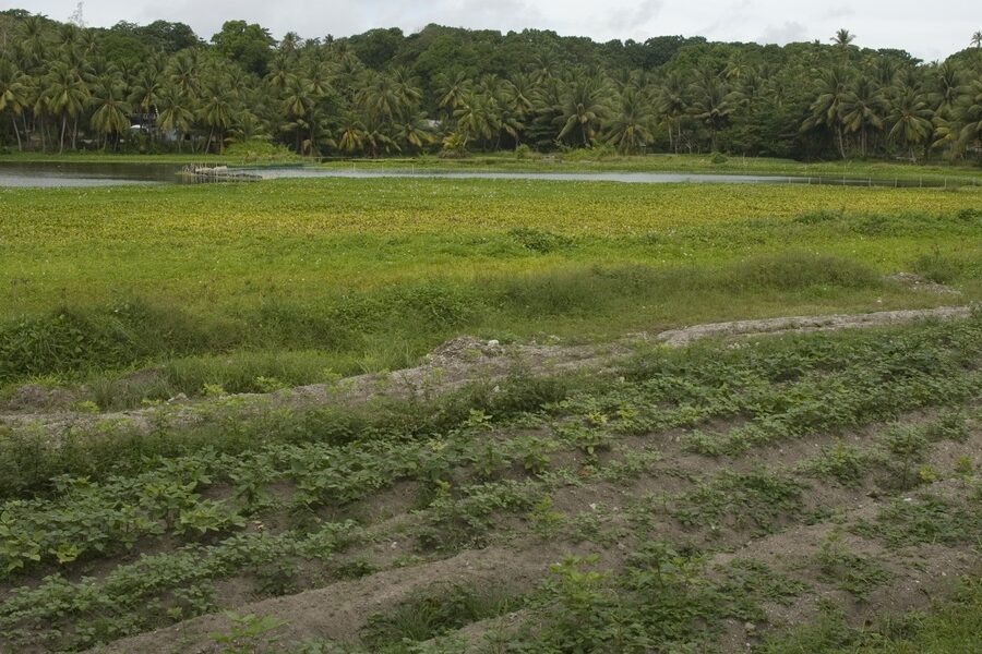
Buada Lagoon. This is the island’s single most famous body of water, a roughly oval lake tucked into a depression in the southwest interior. It looks like a tropical paradise pond, but the water is brackish — a mix of fresh and salt — and slightly polluted. Locals historically farmed milkfish in it, a hardy species that tolerates the salinity. It’s fed by rainfall and the underground water table, not by any stream, and it has no outlet to the sea.
Moqua Cave and its underground lake. Near the southeast coast, beneath a tangle of limestone, sits Moqua Well — an underground freshwater lake in a cave that served as a vital water source during droughts, including for prisoners held on Nauru during World War II. It’s one of the few genuinely fresh water bodies on the island, and it sits exactly where you’d expect: below ground, in the rock, where all of Nauru’s water ends up.
Brackish coastal ponds. Scattered around the island are small brackish ponds and depressions where the water table meets the surface. Useful for the ecosystem, useless for drinking.
Notice the pattern. Every one of Nauru’s water features is either underground or brackish. The island’s hydrology runs beneath your feet, not across the landscape.
So where does the drinking water come from?
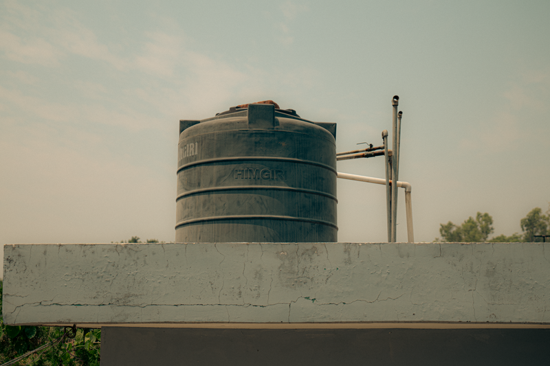
This is the part that surprises people. A country with no rivers and a damaged interior still has to hydrate roughly 12,000 residents. Nauru does it three ways, none of them involving a river.
Rainwater harvesting. Households catch rain off their rooftops into tanks. When the rain comes, this is the cheapest and most popular source. The catch: Nauru sits in a region prone to droughts driven by El Niño cycles, and during a bad dry spell the tanks run empty.
Desalination. Nauru runs reverse-osmosis desalination plants that turn seawater into drinking water. It’s reliable but energy-hungry and expensive, which matters on an island that imports nearly all its fuel.
Imported water. Historically, freshwater was even shipped in as ballast on phosphate cargo ships — boats arrived to load phosphate and carried water in on the way. During severe droughts, Nauru has relied on emergency water shipments and aid. The World Health Organization and regional partners have flagged water security as one of the country’s standing vulnerabilities.
So the honest answer to “how do Nauruans get water” is: they catch it from the sky, squeeze it out of the sea, or bring it in by boat. The land itself provides almost nothing on the surface.
How Nauru compares to its Pacific neighbors
Nauru isn’t unique in lacking rivers — it’s part of a club. Low-lying coral islands across the Pacific share the same problem for the same reason: porous limestone, no surface drainage.
- Tuvalu and Kiribati, both coral atoll nations, also have no rivers and lean heavily on rainwater and desalination.
- Tonga and Fiji, by contrast, are volcanic. Volcanic rock is far less permeable, and the islands are mountainous, so rain collects into actual rivers — Fiji’s Rewa River is a real, navigable waterway.
The dividing line is geology. Volcanic island, you get rivers. Raised coral island, you get a freshwater lens and a desalination bill. Nauru sits firmly on the coral side of that line, which is exactly why it shows up on every “countries with no rivers” list alongside Saudi Arabia, the Bahamas, and the Vatican.
Climate change is shrinking the margin
A country that depends on rooftop rainwater is a country at the mercy of the weather, and the weather is getting less reliable. Stronger and more frequent El Niño droughts stretch the dry spells. Rising seas threaten to push saltwater into the thin freshwater lens that everything ultimately draws from. According to the Pacific Community, low-lying island states like Nauru are among the most exposed on the planet to exactly these pressures.
For Nauru, the lack of rivers was always a fixed feature of the geology. What’s changing is how thin the backup margin has become.
Quick facts
- Number of rivers in Nauru: 0
- Number of natural freshwater lakes: essentially 0 (Buada Lagoon is brackish; Moqua is an underground cave lake)
- Island type: raised coral limestone atoll
- Size: ~21 km² (one of the world’s three smallest countries)
- Main water sources: rainwater harvesting, desalination, imported water
- Most famous water feature: Buada Lagoon (brackish)
FAQ
Does Nauru have any rivers at all? No. Nauru has zero rivers, streams, or creeks. The porous limestone island lets all rainfall sink underground rather than flow across the surface.
Does Nauru have lakes? Sort of. Buada Lagoon is a brackish lake in the island’s interior, and Moqua Cave holds an underground freshwater lake. Neither is a typical freshwater surface lake fed by streams.
What is the longest river in Nauru? There isn’t one. Any source claiming to name Nauru’s “longest river” is mistaken — the country has none.
How do people in Nauru get drinking water? Mostly through rainwater collected off rooftops, desalinated seawater, and historically through water imported by ship. Droughts make water security a recurring challenge.
Why doesn’t Nauru have rivers when it’s surrounded by ocean and gets rain? The ocean is saltwater, and the rain that falls drains straight down through the permeable coral limestone into an underground freshwater lens. With no watertight surface to channel runoff, no rivers can form.