
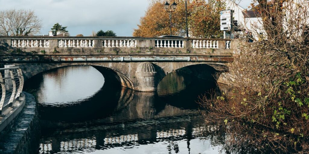
Most pages on Texas-Louisiana border towns get the basics wrong. Texarkana isn’t on the Louisiana line. Neither is Shreveport. LaPlace and Harvey, which some lists include, are over 200 miles from Texas. The line itself is simpler than those lists suggest: a straight run along the 94th meridian in the north, then the Sabine River and Sabine Lake all the way to the Gulf.
This guide walks that line from top to bottom and pairs the towns that face each other across it, with the road you take to cross and one reason to stop.
Contents
- Where the line runs and why
- Quick map: crossings north to south
- The Texas-Louisiana border towns, north to south
- Karnack and Uncertain, TX / Mooringsport and Oil City, LA
- Waskom, TX / Greenwood, LA
- Joaquin, TX / Logansport, LA
- Hemphill, TX / Many, LA
- Burkeville, TX / Burr Ferry, LA
- Deweyville, TX / Starks, LA
- Orange, TX / Vinton, LA
- Sabine Pass, TX / Cameron Parish, LA
- What actually changes at the line
Where the line runs and why
Start at the top. The Texas-Louisiana boundary begins at the corner where Texas, Arkansas and Louisiana meet, about 30 miles south of downtown Texarkana. From there it runs due north-south, a surveyor’s line through pine woods, down to the 32nd parallel, just north of Logansport.
At that point the line hands off to the Sabine River. The river runs roughly 360 miles from northeast Texas to the Gulf of Mexico, and its lower stretch is the border. It runs through the middle of Toledo Bend Reservoir, past the cypress bottoms around Deweyville, and out through Sabine Lake and Sabine Pass.
The reason is a 19th-century argument that nobody could settle. When the United States bought Louisiana in 1803, nobody agreed where Louisiana ended and Spanish Texas began. In 1806, a US general and a Spanish officer agreed to leave the disputed strip between the Arroyo Hondo near Natchitoches and the Sabine River empty. It became the Neutral Ground, and it quickly filled with smugglers, deserters and outlaws, because neither country could police it.
The 1819 Adams-Onis Treaty ended that by making the Sabine the boundary, and the later Mexican and Texan governments left it in place. The US Supreme Court settled the last wrinkle in 1973: the line follows the middle of the river and the lake, not a bank.
Quick map: crossings north to south
| Stop | Texas side | Louisiana side | Crossing |
|---|---|---|---|
| Caddo Lake | Karnack, Uncertain | Mooringsport, Oil City | No bridge at the line; boat only |
| I-20 | Waskom | Greenwood | I-20 (Shreveport is about 20 miles on) |
| Upper Sabine | Joaquin | Logansport | US 84 |
| Toledo Bend | Hemphill (county seat) | Many (parish seat) | SH 21 / LA 6, Pendleton Bridge |
| Below the dam | Burkeville | Burr Ferry | US 190 |
| Lower river | Deweyville | Starks | SH 12 / LA 12 |
| Interstate crossing | Orange | Vinton | I-10 |
| Gulf end | Sabine Pass | Cameron Parish marsh | None; no bridge links the two |
The Texas-Louisiana border towns, north to south
Karnack and Uncertain, TX / Mooringsport and Oil City, LA
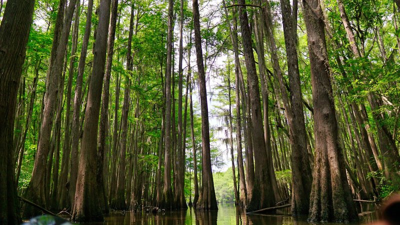
Caddo Lake is the one place where the state line runs through a natural lake, and you can tell. Bald cypress hung with Spanish moss crowd the water, and the channels twist enough that Texas Parks and Wildlife sells a paddling map of the maze. The lake is a Ramsar-listed wetland of international importance, which is not a label most Texas destinations carry.
Uncertain, Texas sits on the west shore, and yes, that is the real name. Mooringsport and Oil City sit on the Louisiana side. No bridge crosses at the line, so the practical move is a Caddo Lake State Park kayak or a guided pontoon from the Texas side, which puts you in both states within the first hour.
Waskom, TX / Greenwood, LA
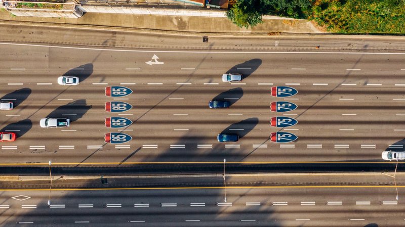
This is where most people cross without noticing. I-20 passes over the line at Waskom, the Texas town that sits right against it, and into Greenwood, Louisiana. Shreveport and Bossier City are about 20 miles east, which is why the two cities show up on border-town lists. They’re the regional hub, not border towns.
Waskom’s reason to stop is plain: it has the Texas travel information center on westbound I-20 for maps and road conditions, and it’s the last easy place to fill up before Louisiana. If you’re heading east, Shreveport-Bossier is where the casinos are, and that’s the main reason Texans make the drive.
Joaquin, TX / Logansport, LA
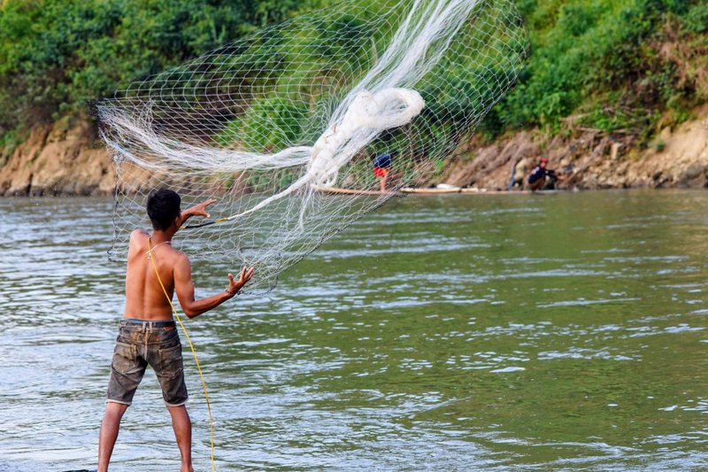
Logansport is the first real river pair. The 32nd parallel is just north of town, so this is where the Sabine starts being the border. Logansport sits on the Louisiana bank, and Joaquin is across the water in Texas. US 84 is the road between them.
The draw is fishing. White bass, which Texans call sand bass, run up the Sabine in spring, and catfish and crappie fill in the rest of the year. The town’s own Sabine River page is a decent starting point for local access. Stay on the Louisiana side for bait shops and lodging. Joaquin is the quieter of the two and mostly a place to buy gas.
Hemphill, TX / Many, LA
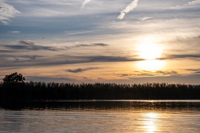
Here the river widens into Toledo Bend Reservoir, roughly 185,000 acres built by the Sabine River Authorities of both states and finished in the 1960s. The Sabine River Authority of Louisiana runs its Louisiana side. The border follows the old river channel down the middle of it.
Hemphill and Many are the two county seats on either side. There’s a small joke in the names: Texas has Sabine County, Louisiana has Sabine Parish, and the two seats sit on opposite shores of the lake that they’re both named for. The Pendleton Bridge carries SH 21 and LA 6 across the water, and it is the only road across the reservoir in this area.
Many has the better history stop. Fort Jesup State Historic Site is near town, the post built in 1822 on the edge of the old Neutral Ground to guard the new border. Hemphill sits inside Sabine National Forest country, so on the Texas side the stop is the woods rather than a museum.
Burkeville, TX / Burr Ferry, LA
Below the Toledo Bend dam the river runs free again, and US 190 crosses it at Burr Ferry. Some sites put Burkeville in Louisiana. It’s in Texas, in Newton County, and Burr Ferry is the Louisiana community across the river.
The name is literal. Before the bridge, Burr’s Ferry moved wagons and travelers across the Sabine on one of the main routes into Texas. It’s a quiet crossing now. Come here for the river itself: this is a good stretch for a short paddle below the dam, with nobody else around.
Deweyville, TX / Starks, LA
SH 12 and LA 12 cross the river at Deweyville and Starks. You get cypress and tupelo swamp on both banks and very little else, which is the point. This is the stretch where the Sabine looks the way the Neutral Ground must have looked, flat, wet and hard to cross without local knowledge.
It’s the least-visited pair on this list. The reason to stop is a gas station and a view of the river from the bridge before the Gulf coast starts to take over.
Orange, TX / Vinton, LA
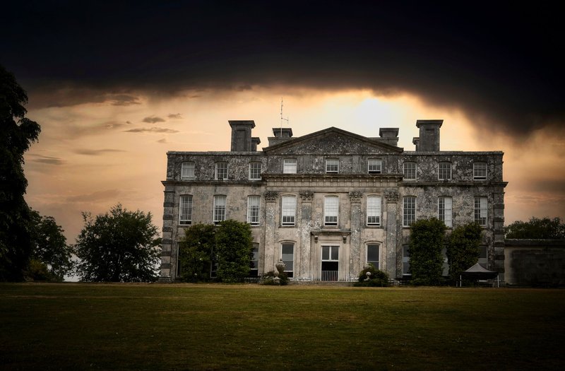
I-10 is the big crossing, and Orange is the biggest town on the line. It’s the easternmost city in Texas, and Vinton, Louisiana is about 10 miles east of it, past the Sabine River and the swampy stretch around it.
Orange has the best day of anything on this list. The Stark Cultural Venues group the W.H. Stark House, an 1894 Victorian mansion, with the Stark Museum of Art, which holds an unexpectedly serious collection of Western American art. Shangri La Botanical Gardens is a short drive away if you’d rather be outside.
Vinton is where Louisiana announces itself. Delta Downs, a racetrack and casino, sits on the interstate, and it’s the biggest reason many Texans cross at this point.
Sabine Pass, TX / Cameron Parish, LA
The line ends where Sabine Lake meets the Gulf at Sabine Pass. Sabine Pass is a small refinery-and-shrimp-boat town, and the Louisiana side is marsh and the Johnson Bayou community in Cameron Parish. No bridge crosses here. If you want to get from one to the other by road, you’d drive back up to I-10 and around.
The reason to come is the Sabine Pass Battleground State Historic Site. In September 1863, fewer than 50 Confederate gunners at Fort Griffin, led by Dick Dowling, turned back four Union gunboats and a large invasion force heading for Texas. It’s a flat, windy site, and the story is better than the earthworks.
What actually changes at the line
Less than you’d think. Both sides are in the Central time zone, and the pine woods and bayous run straight over the border. The differences are small and specific:
- Gambling. Louisiana has commercial casinos, in Shreveport-Bossier and at Vinton. Texas does not.
- Local government. Louisiana has parishes and Texas has counties. That’s a leftover of Louisiana’s French and Spanish legal inheritance, and it’s why the same-named Sabine County and Sabine Parish stare at each other across Toledo Bend.
- Fishing. Texas and Louisiana have a reciprocal arrangement on Toledo Bend, so a license from either state covers the whole lake. Check current rules with each state’s wildlife agency before you go, because tributaries and the river below the dam can differ.
- Food. Cross the line in the east and the menu shifts toward boudin, crawfish and gumbo.
If you only have time for one pair, take Orange and Vinton for the museums and the casino, or Logansport and Joaquin for the river and the fishing.


