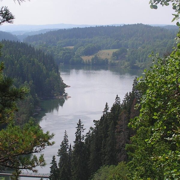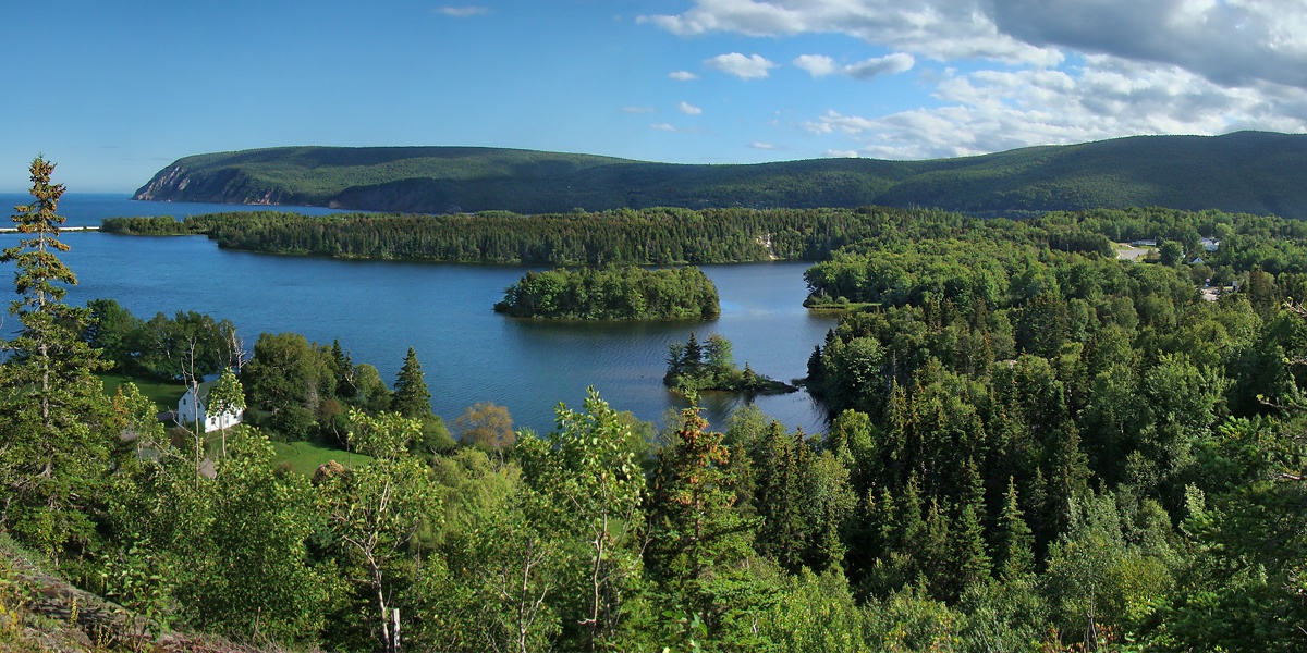
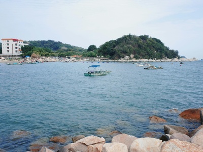
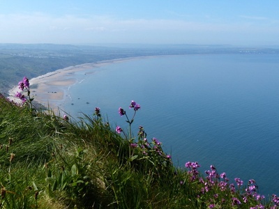
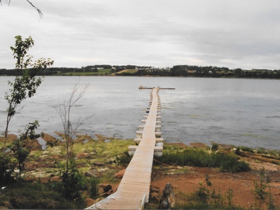
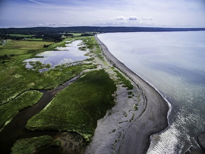
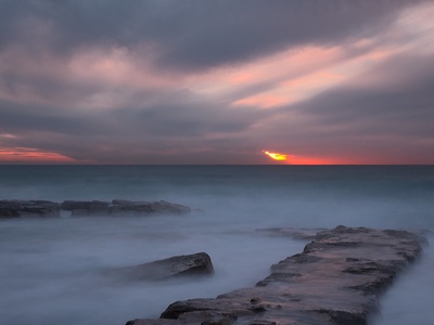
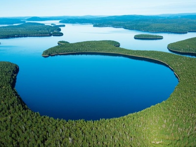
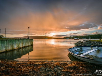
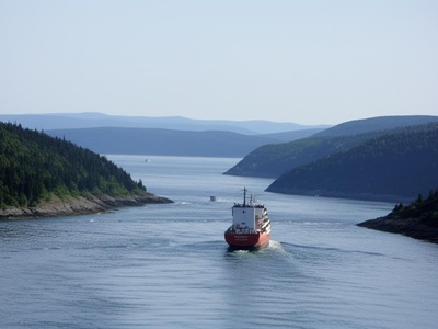
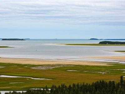
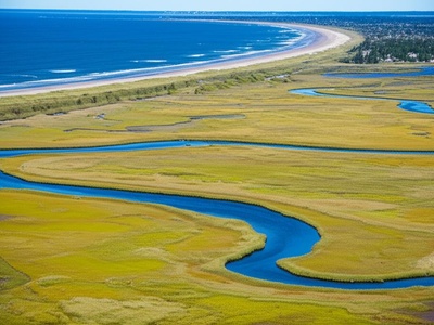
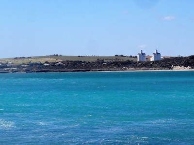
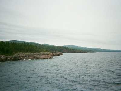
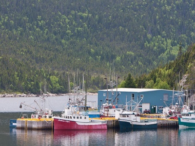
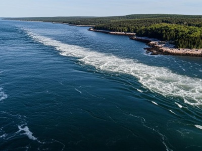
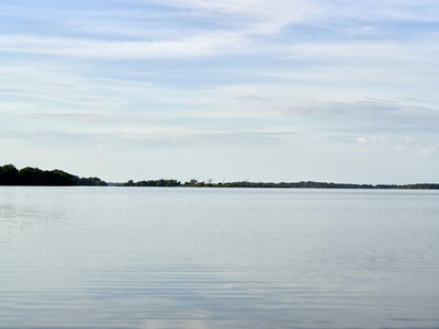
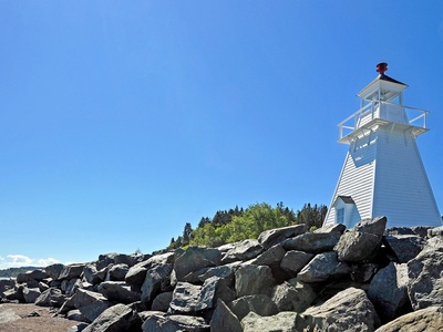
Nova Scotia’s coastline is a patchwork of sheltered inlets, working harbours and quieter coves shaped by centuries of tides and human use. Whether you’re mapping marine habitats, planning coastal drives, or compiling local history, a single list that brings those features together makes exploring the province easier.
There are 100 Bays in Nova Scotia, ranging from Advocate Bay to Wreck Cove Bay. For each entry you’ll find below Region,Coordinates (lat, long),Area (km2) so you can sort by location, plot points on a map, or compare sizes at a glance.
How can I use this list to plan visits or research?
Use the Region field to narrow choices by area, then plug the Coordinates (lat, long) into a GPS or mapping app for exact access points; Area (km2) helps set expectations for beach length, shelter or navigational complexity. Combine these columns with local access and tide info for practical trip planning or fieldwork.
How accurate are the coordinates and area figures?
The coordinates and areas are compiled from published maps and datasets, but coastal features and measurements can change; treat them as a reliable starting point and confirm with current nautical charts, local authorities, or on-site checks for precise navigation or legal uses.
Bays in Nova Scotia
| Name | Region | Coordinates (lat, long) | Area (km2) |
|---|---|---|---|
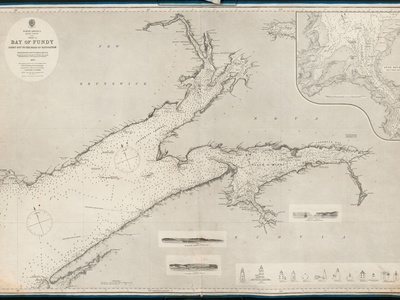
| Bay of Fundy | Fundy Shore | 45.0000, -66.0000 | 15,000 |
| Mahone Bay | South Shore | 44.4500, -64.2500 | 275 |
| St. Margarets Bay | South Shore | 44.6000, -63.9500 | 135 |
| Minas Basin | Fundy Shore | 45.3333, -64.1667 | 1,165 |
| St. Marys Bay | Fundy Shore | 44.3333, -66.1667 | 390 |
| Cobequid Bay | Fundy Shore | 45.3500, -63.7000 | 320 |
| Chignecto Bay | Fundy Shore | 45.7000, -64.6000 | 1,400 |
| Aspy Bay | Cape Breton | 46.9500, -60.4500 | 75 |
| St. Anns Bay | Cape Breton | 46.3333, -60.5000 | 125 |
| Gabarus Bay | Cape Breton | 45.8333, -60.0000 | 80 |
| Mira Bay | Cape Breton | 46.0333, -59.8667 | 115 |
| Mahoneys Bay | Northumberland Shore | 45.6833, -62.0000 | 18 |
| Tatamagouche Bay | Northumberland Shore | 45.7500, -63.3167 | 35 |
| Whycocomagh Bay | Cape Breton | 45.9500, -61.1167 | 80 |
| Lobster Bay | Yarmouth & Acadian Shores | 43.7500, -65.9167 | 95 |
| Tusket Bay | Yarmouth & Acadian Shores | 43.8333, -65.9667 | 70 |
| Rose Bay | South Shore | 44.2833, -64.2833 | 15 |
| Lunenburg Bay | South Shore | 44.3500, -64.2833 | 20 |
| Pennant Bay | South Shore | 44.4667, -63.6333 | 22 |
| Medway Bay | South Shore | 44.1167, -64.6333 | 40 |
| Jordan Bay | South Shore | 43.7667, -65.2333 | 55 |
| Shelburne Bay | South Shore | 43.7167, -65.3000 | 65 |
| Barrington Bay | South Shore | 43.5333, -65.5833 | 80 |
| Pubnico Bay | Yarmouth & Acadian Shores | 43.6667, -65.7833 | 45 |
| St. Peters Bay | Cape Breton | 45.6667, -60.8667 | 30 |
| Ingonish Bay | Cape Breton | 46.6667, -60.3833 | 25 |
| Country Harbour Bay | Eastern Shore | 45.1500, -61.7000 | 50 |
| Tor Bay | Eastern Shore | 45.1833, -61.3500 | 60 |
| Chedabucto Bay | Eastern Shore | 45.4167, -61.1667 | 850 |
| Advocate Bay | Fundy Shore | 45.3167, -64.7833 | 25 |
| Scots Bay | Fundy Shore | 45.3167, -64.4000 | 40 |
| Annapolis Basin | Annapolis Valley | 44.6833, -65.6667 | 120 |
| Goose Bay | South Shore | 43.9167, -64.8333 | 10 |
| Green Bay | South Shore | 44.1833, -64.4500 | 12 |
| Kings Bay | South Shore | 44.2667, -64.2667 | 8 |
| Prospect Bay | South Shore | 44.4833, -63.7167 | 15 |
| Terence Bay | South Shore | 44.5000, -63.6667 | 18 |
| Malignant Bay | Northumberland Shore | 45.7500, -62.0000 | 100 |
| Auld’s Cove Bay | Strait of Canso | 45.6500, -61.4167 | 5 |
| George Bay | Northumberland Shore | 45.7000, -61.7500 | 650 |
| Denys Basin | Cape Breton | 45.8500, -61.0500 | 55 |
| Baddeck Bay | Cape Breton | 46.1167, -60.7333 | 15 |
| Great Bras d’Or Channel | Cape Breton | 46.2500, -60.4500 | 120 |
| St. Patricks Channel | Cape Breton | 46.0333, -60.8833 | 110 |
| East Bay | Cape Breton | 45.9667, -60.4333 | 200 |
| West Bay | Cape Breton | 45.7500, -61.0000 | 140 |
| Glace Bay | Cape Breton | 46.2167, -59.9500 | 10 |
| Port Morien Bay | Cape Breton | 46.1333, -59.8667 | 15 |
| Spanish Bay | Cape Breton | 46.2500, -60.1500 | 30 |
| Indian Bay | Eastern Shore | 44.8000, -62.3333 | 20 |
| Sheet Harbour Bay | Eastern Shore | 44.8833, -62.4833 | 25 |
| Ship Harbour Bay | Eastern Shore | 44.7833, -62.8000 | 30 |
| Jeddore Bay | Eastern Shore | 44.7333, -63.0000 | 40 |
| Petpeswick Bay | Eastern Shore | 44.7333, -63.1167 | 15 |
| Musquodoboit Bay | Eastern Shore | 44.7167, -63.2000 | 35 |
| Cole Harbour-Lawrencetown Bay | Eastern Shore | 44.6500, -63.4167 | 20 |
| Ketch Harbour Bay | South Shore | 44.5167, -63.5667 | 5 |
| Sambro Bay | South Shore | 44.4833, -63.6000 | 10 |
| Shad Bay | South Shore | 44.5500, -63.8000 | 8 |
| Blind Bay | South Shore | 44.5667, -63.9000 | 12 |
| Head of St. Margarets Bay | South Shore | 44.6833, -63.9333 | 15 |
| Aspotogan Bay | South Shore | 44.5333, -64.0667 | 15 |
| Chester Bay | South Shore | 44.5333, -64.2167 | 18 |
| Western Shore Bay | South Shore | 44.5167, -64.3000 | 10 |
| Little Port l’Hebert Bay | South Shore | 43.8167, -64.9333 | 12 |
| Port Joli Bay | South Shore | 43.8667, -64.8833 | 25 |
| Sable River Bay | South Shore | 43.8167, -65.1000 | 15 |
| Negro Harbour Bay | South Shore | 43.6333, -65.4167 | 25 |
| Clyde River Bay | South Shore | 43.6000, -65.5000 | 20 |
| Pomquet Bay | Northumberland Shore | 45.6500, -61.8667 | 10 |
| Havre Boucher Bay | Northumberland Shore | 45.6667, -61.5333 | 8 |
| Caribou Bay | Northumberland Shore | 45.7333, -62.7000 | 15 |
| Pictou Bay | Northumberland Shore | 45.6833, -62.6500 | 20 |
| Merigomish Bay | Northumberland Shore | 45.6333, -62.4500 | 45 |
| Wallace Bay | Northumberland Shore | 45.8167, -63.5000 | 20 |
| Pugwash Bay | Northumberland Shore | 45.8500, -63.6667 | 15 |
| Baie Verte | Northumberland Shore | 45.9667, -64.0667 | 60 |
| Minas Channel | Fundy Shore | 45.4000, -64.6000 | 600 |
| Greville Bay | Fundy Shore | 45.3667, -64.5833 | 30 |
| Spencer’s Island Bay | Fundy Shore | 45.3667, -64.7000 | 15 |
| Digby Gut | Annapolis Valley | 44.6500, -65.7667 | 5 |
| Petit Passage | Fundy Shore | 44.3833, -66.2167 | 4 |
| Grand Passage | Fundy Shore | 44.2833, -66.3333 | 6 |
| Fourchu Bay | Cape Breton | 45.7333, -60.2500 | 65 |
| St. Esprit Bay | Cape Breton | 45.6333, -60.5000 | 10 |
| L’Ardoise Bay | Cape Breton | 45.6000, -60.7500 | 15 |
| D’Escousse Bay | Cape Breton | 45.6000, -61.0333 | 12 |
| Kempt Bay | Cape Breton | 45.6667, -60.9500 | 8 |
| River Denys Bay | Cape Breton | 45.8333, -61.1833 | 15 |
| Melford Bay | Cape Breton | 45.7167, -61.2667 | 10 |
| Meat Cove Bay | Cape Breton | 47.0333, -60.5667 | 5 |
| Dingwall Bay | Cape Breton | 46.9167, -60.4667 | 10 |
| South Bay Ingonish | Cape Breton | 46.6333, -60.4000 | 12 |
| Wreck Cove Bay | Cape Breton | 46.5333, -60.4167 | 6 |
| Big Bras d’Or | Cape Breton | 46.2833, -60.4667 | 8 |
| Shubenacadie Grand Lake Bay | Mainland | 44.9000, -63.5667 | 10 |
| French Village Bay | South Shore | 44.6500, -63.8833 | 6 |
| Hubbards Bay | South Shore | 44.6333, -64.0500 | 8 |
| Blandford Bay | South Shore | 44.5000, -64.1000 | 10 |
| Tancook Bay | South Shore | 44.4667, -64.1500 | 15 |
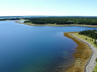
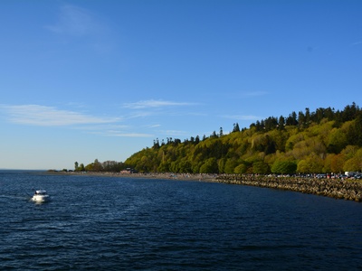
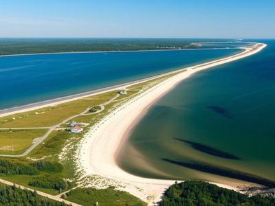
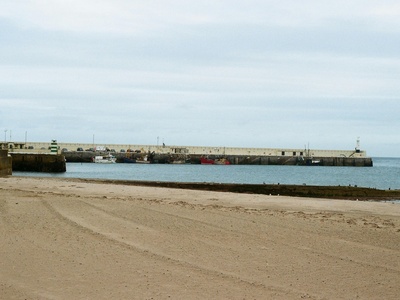
Images and Descriptions
Bay of Fundy
World-famous for having the highest tides on Earth, this massive bay separates Nova Scotia from New Brunswick. Its powerful tidal bore is a major attraction near towns like Truro and Windsor.
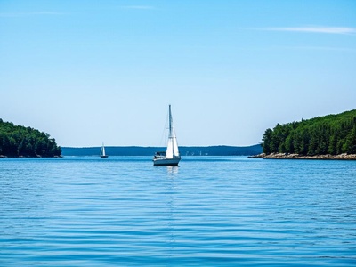
Mahone Bay
Known for its picturesque scenery and over 365 islands, including the famous Oak Island. This bay is a premier sailing destination, bordered by the towns of Mahone Bay, Chester, and Lunenburg.

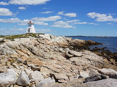
St. Margarets Bay
A large, beautiful bay just west of Halifax, famous for its clear waters, scenic coastline, and the iconic Peggy’s Cove lighthouse at its eastern edge. It is popular for sailing and kayaking.
Minas Basin
The inner part of the Bay of Fundy, experiencing the world’s most extreme tides. It’s a critical habitat for shorebirds and is surrounded by communities like Wolfville, Parrsboro, and Truro.

St. Marys Bay
A long, narrow bay separating the Digby Neck from the mainland of Nova Scotia. It is the heart of the province’s Acadian community, with towns like Meteghan and Church Point along its shores.
Cobequid Bay
The innermost part of the Bay of Fundy, where the highest tides are recorded. The extensive reddish mudflats exposed at low tide are a key feature, visible from near Truro and Maitland.
Chignecto Bay
The upper arm of the Bay of Fundy, splitting into Cumberland Basin and Shepody Bay. It forms part of the border between Nova Scotia and New Brunswick, near Amherst.

Aspy Bay
A stunning U-shaped bay on the northern tip of Cape Breton Island, along the Cabot Trail. It features a dramatic barachois pond and beautiful sandy beaches near the community of Dingwall.
St. Anns Bay
A large, scenic bay on the Cabot Trail that nearly encloses St. Anns Harbour. It’s home to the Gaelic College and is a centre for Celtic culture in Nova Scotia, near Baddeck.
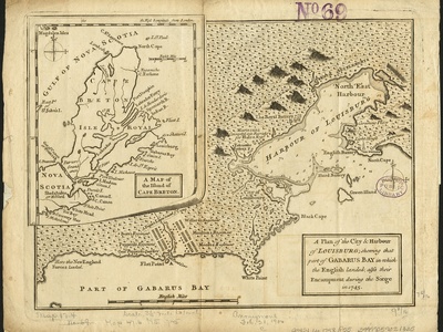
Gabarus Bay
A wide, crescent-shaped bay on the eastern coast of Cape Breton, south of Louisbourg. It is known for its fishing heritage and the historic Gabarus Lighthouse that guards its entrance.
Mira Bay
A large bay on the east coast of Cape Breton, fed by the scenic Mira River. It is a popular summer destination for boating and cottaging, located near the community of Glace Bay.
Mahoneys Bay
A picturesque bay on the Northumberland Strait, not to be confused with the larger Mahone Bay on the South Shore. It offers warm waters and sandy shores near the town of Antigonish.
Tatamagouche Bay
Known for having some of the warmest ocean waters in Canada during the summer. This shallow bay on the Northumberland Strait is a popular spot for swimming and beachcombing near the village of Tatamagouche.
Whycocomagh Bay
A large, sheltered bay that forms the westernmost part of the Bras d’Or Lake system. It is surrounded by rolling hills and is adjacent to the We’koqma’q First Nation community.
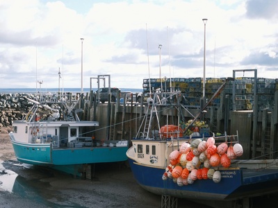
Lobster Bay
A complex bay dotted with numerous islands on the southwestern tip of Nova Scotia. It is a crucial area for the province’s lobster fishery, with many fishing wharves found in nearby communities like Argyle.
Tusket Bay
Home to the scenic Tusket Islands, this bay is a maze of channels, islands, and tidal flats. It’s a rich area for both fishing and birdwatching, located near the community of Tusket.

Rose Bay
A sheltered bay near Lunenburg, known for its beautiful beaches like Hirtle’s Beach and Kingsburg Beach. It is a scenic and popular spot for coastal hiking and exploring.
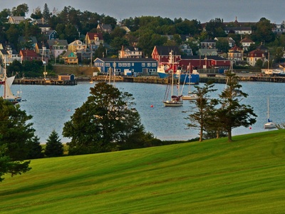
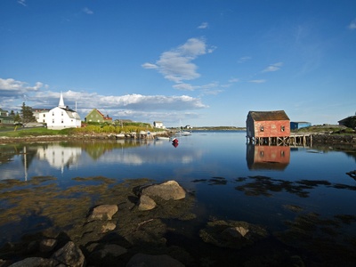
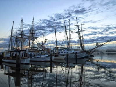
Lunenburg Bay
The scenic backdrop to the UNESCO World Heritage town of Lunenburg. The bay provides a safe harbour and is often filled with tall ships, including the famous Bluenose II.

Pennant Bay
A rugged and exposed bay near Halifax, containing the popular Crystal Crescent Beach Provincial Park. Its rocky shoreline and islands are ideal for sea kayaking and coastal exploration.
Medway Bay
A large, island-filled bay where the Medway River meets the Atlantic. It is a quiet area known for its natural beauty and small fishing communities like Port Medway.
Jordan Bay
A wide, open bay on the South Shore, providing a large natural harbour for the town of Lockeport. Its most famous feature is the beautiful, crescent-shaped Lockeport Beach.
Shelburne Bay
One of the finest natural harbours in the world, this bay is home to the historic town of Shelburne. Its deep, sheltered waters were historically significant for Loyalist settlers and shipbuilding.
Barrington Bay
A large, shallow bay in the “Lobster Capital of Canada.” It surrounds Cape Sable Island and is a vital area for the local fishing industry, centered around the town of Barrington.
Pubnico Bay
A long, sheltered bay in the heart of one of the oldest Acadian regions in Nova Scotia. It is a busy fishing harbour, with several communities named Pubnico lining its shores.
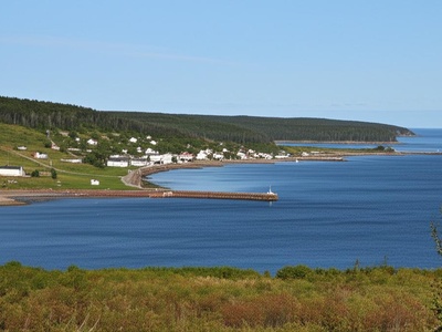
St. Peters Bay
Located at the southern end of the Bras d’Or Lake, this bay connects the lake to the Atlantic Ocean via the St. Peters Canal National Historic Site. It’s a key boating gateway near St. Peter’s.

Ingonish Bay
A spectacular bay on the Cabot Trail, framed by steep headlands within Cape Breton Highlands National Park. It is divided into North and South Bay, featuring the famous Keltic Lodge and a long sandy beach.

Country Harbour Bay
A long, deep, and fjord-like tidal inlet on the Eastern Shore. It is one of the largest and most pristine estuaries in the province, offering remote wilderness experiences near the community of Country Harbour.
Tor Bay
A wide, island-studded bay on the Eastern Shore, known for its rugged, remote coastline and the Tor Bay Provincial Park, which features several beautiful sandy beaches and walking trails.
Chedabucto Bay
A large, deep bay that marks the eastern end of mainland Nova Scotia. It is a historically significant waterway, home to the Canso Islands National Historic Site and the town of Guysborough.
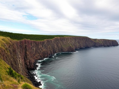
Advocate Bay
Nestled at the foot of Cape Chignecto, this small bay is known for its dramatic cliffs and proximity to Cape Chignecto Provincial Park. It’s a starting point for wilderness hiking and sea kayaking.
Scots Bay
A bay at the entrance to the Minas Basin, famous for its basalt cliffs at Cape Split, which is a very popular and rewarding hiking destination. It is located near the community of Scots Bay.
Annapolis Basin
A large tidal basin connected to the Bay of Fundy by the Digby Gut. It is a historically rich area, home to the towns of Digby and Annapolis Royal, Canada’s oldest permanent European settlement.
Goose Bay
A small, sheltered bay located on the eastern side of the LaHave Islands archipelago. It is a picturesque area popular with kayakers exploring the many islands near the community of Crescent Beach.

Green Bay
A scenic bay on the South Shore, known for its beautiful sandy beaches, including the popular Green Bay and Rissers beaches. It’s a favourite summer spot for locals and tourists near Petite Rivière.
Kings Bay
A small but stunningly beautiful bay best known for the dramatic headlands and beaches of the Kingsburg Peninsula. It’s a popular area for coastal scenery and hiking near Lunenburg.
Prospect Bay
A picturesque, sheltered bay dotted with small islands, located on the Chebucto Peninsula near Halifax. The traditional fishing village of Prospect is a classic example of a Nova Scotian outport.
Terence Bay
A rugged coastal bay near Halifax, known for the Terence Bay Wilderness Area and the SS Atlantic Heritage Park. The bay itself is home to an active fishing community.
Malignant Bay
A wide bay on the Northumberland Strait between Cape George and Arisaig. It is known for its beautiful coastline, provincial parks, and views of Prince Edward Island on clear days.
Auld’s Cove Bay
Though small, this bay is strategically important as it sits at the western end of the Strait of Canso, right next to the Canso Causeway connecting mainland Nova Scotia to Cape Breton Island.
George Bay
A very large bay that opens into the Northumberland Strait, with Antigonish at its southern end. It is a significant body of water for the fishing industry and features several beautiful beaches.
Denys Basin
A large, almost circular basin forming a southwestern arm of the Bras d’Or Lake. It is a very sheltered body of water, making it excellent for boating, near the community of Orangedale.
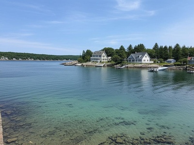
Baddeck Bay
The bay adjacent to the charming village of Baddeck on the Bras d’Or Lake. It was the summer home of Alexander Graham Bell and is a central hub for boating and tourism on the lake.
Great Bras d’Or Channel
A major tidal inlet and the larger of two channels connecting the Bras d’Or Lake to the Atlantic. It is a deep, fjord-like channel that is a primary route for marine traffic.
St. Patricks Channel
A long, scenic channel within the Bras d’Or Lake system, running from the west of Baddeck towards Whycocomagh Bay. It is a popular and beautiful area for sailing and enjoying the lake’s scenery.
East Bay
One of the three long arms of the Bras d’Or Lake, extending deep into Cape Breton Island. The bay is lined with cottages and communities, offering sheltered waters for all kinds of recreation.

West Bay
Another of the three major arms of the Bras d’Or Lake, located on the southwestern side. It is a broad, scenic expanse of water dotted with islands, near the community of West Bay.

Glace Bay
The bay that gives its name to the former coal mining town of Glace Bay. The Glace Bay Harbour is a key feature, and the area is rich in industrial and cultural history.
Port Morien Bay
A historic bay on the east coast of Cape Breton, known for being the site of Canada’s first coal mine. The village of Port Morien sits on its shore, with a history tied to both mining and fishing.

Spanish Bay
A bay located at the mouth of Sydney Harbour, named for the early Spanish fishermen who frequented the area. It is an important navigational approach to the port of Sydney.
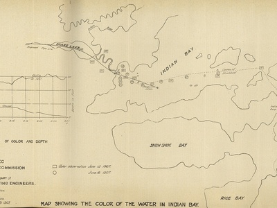
Indian Bay
A complex bay on the Eastern Shore featuring a maze of islands and channels. It is part of a wild and scenic coastal area, offering excellent opportunities for sea kayaking and remote exploration.
Sheet Harbour Bay
A large, branching inlet on the Eastern Shore, divided into the East and West rivers. The bay is home to the town of Sheet Harbour and is surrounded by the rugged coastal barrens typical of the region.
Ship Harbour Bay
A long, fjord-like inlet that offers one of the most sheltered anchorages on the Eastern Shore. The bay is surrounded by steep, wooded hills and is a stunning example of the region’s coastal geography.
Jeddore Bay
A large, multi-lobed bay on the Eastern Shore, containing the communities of Head of Jeddore, West Jeddore, and East Jeddore. It is a popular area for fishing and coastal living near Halifax.
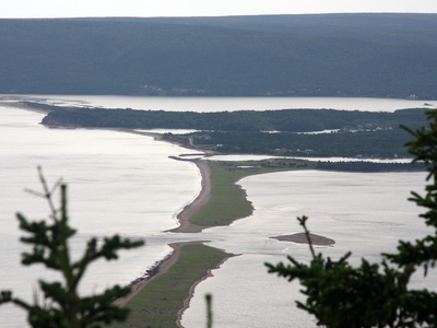
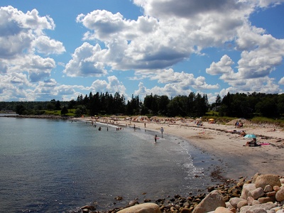
Petpeswick Bay
Known for its long, sandy barrier beach, Martinique Beach, which is one of the longest in the province. The bay’s protected inner waters are ideal for birdwatching and paddling.
Musquodoboit Bay
A large bay just east of Halifax, fed by the Musquodoboit River. It is a diverse ecosystem of salt marshes and islands, with Martinique Beach Provincial Park at its entrance.
Cole Harbour-Lawrencetown Bay
A significant coastal ecosystem near Dartmouth, known for its extensive salt marsh and the popular Lawrencetown Beach, a surfing hotspot. The area is protected as a provincial park and wildlife sanctuary.
Ketch Harbour Bay
A small, classic fishing harbour and bay just south of Halifax. It offers a glimpse into the traditional fishing life of Nova Scotia and is a scenic stop along the coast.
Sambro Bay
The bay adjacent to the historic fishing community of Sambro, home to the oldest operating lighthouse in the Americas. It is a busy fishing harbour at the entrance to Halifax Harbour.
Shad Bay
A picturesque bay on the scenic Lighthouse Route, nestled between the larger St. Margarets and Pennant Bays. It is home to a small, active fishing community.
Blind Bay
A sheltered bay located within the larger St. Margarets Bay. It provides a safe anchorage for boats and is surrounded by a number of small residential communities.
Head of St. Margarets Bay
The northernmost section of St. Margarets Bay, where the communities of Hubbards, Boutiliers Point, and Upper Tantallon are located. It’s a popular area for cottaging and recreation.
Aspotogan Bay
A bay on the eastern side of the Aspotogan Peninsula, known for its scenic beauty and the coastal communities of Hubbards and Bayswater. Bayswater Beach Provincial Park is a highlight.
Chester Bay
The section of Mahone Bay that fronts the charming village of Chester. It is a world-renowned sailing destination, hosting the annual Chester Race Week, the largest keelboat regatta in Canada.

Western Shore Bay
A small bay within Mahone Bay, home to the community of Western Shore. It is known for its history of shipbuilding and offers beautiful views of the bay’s many islands.
Little Port l’Hebert Bay
A pristine and remote bay on the South Shore, almost entirely surrounded by a protected wilderness area. It is a haven for birds and other wildlife, ideal for wilderness kayaking.
Port Joli Bay
Home to Kejimkujik National Park Seaside, this bay is a stunning example of a protected coastal ecosystem. It features white sand beaches, turquoise waters, and abundant wildlife, including seals.
Sable River Bay
A scenic bay where the Sable River meets the Atlantic. The area is known for its natural beauty and the Louis Head Beach, a long and beautiful sandy beach at the bay’s mouth.
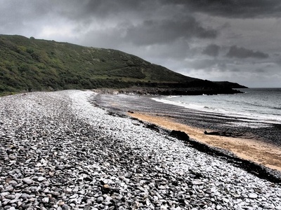
Negro Harbour Bay
A historically significant bay named for the Black Loyalists who settled here in the 1780s. The bay is a wide, shallow inlet near the community of Ingomar.
Clyde River Bay
A bay fed by the Clyde River, located near Barrington. It is an important part of the region’s river and estuary systems, supporting local fisheries and wildlife.
Pomquet Bay
A shallow bay on the Northumberland Strait, protected by a long sand spit that forms Pomquet Beach Provincial Park. The surrounding area is a vibrant Acadian community near Antigonish.
Havre Boucher Bay
A sheltered bay on the Northumberland Strait, providing a safe harbour for the fishing village of Havre Boucher. It is located just before the Canso Causeway leading to Cape Breton.
Caribou Bay
A bay near Pictou from which the ferry service to Prince Edward Island departs. It features warm waters and several sandy beaches, making it a popular summer destination.

Pictou Bay
A bay at the mouth of the Pictou Harbour, a historically significant port. The town of Pictou, known as the “Birthplace of New Scotland,” sits on its shores.
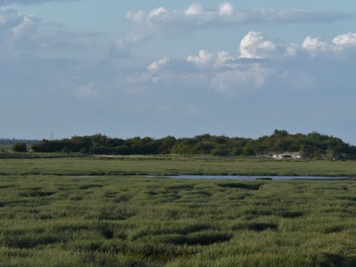
Merigomish Bay
A large, island-filled bay on the Northumberland Strait, designated as a protected area. Its warm, shallow waters and extensive salt marshes provide a critical habitat for waterfowl.

Wallace Bay
A large tidal bay on the Northumberland Strait, home to the Wallace Bay National Wildlife Area. It is a key staging area for migratory birds, particularly waterfowl.
Pugwash Bay
The bay on which the village of Pugwash is located, known for its history of shipbuilding and the Pugwash Conferences on Science and World Affairs, a Nobel Peace Prize-winning organization.
Baie Verte
A large bay at the narrowest point of the Chignecto Isthmus, separating Nova Scotia from New Brunswick. It was historically important as part of a proposed canal route.
Minas Channel
The channel connecting the main Bay of Fundy to the Minas Basin. It is known for its incredibly strong tidal currents, making it a focus for tidal power generation research near Parrsboro.
Greville Bay
A bay on the north shore of the Minas Channel, known for its impressive sea cliffs and the Joggins Fossil Cliffs UNESCO World Heritage Site located nearby. The community of Port Greville is on its shore.
Spencer’s Island Bay
A historic bay on the Fundy shore, famous as the building site of the mysterious ghost ship, the Mary Celeste. A beautiful beach and lighthouse commemorate its shipbuilding past.
Digby Gut
A narrow, deep channel that connects the Bay of Fundy to the Annapolis Basin. The powerful tidal currents flowing through the gut are a notable feature, with the town of Digby guarding its entrance.
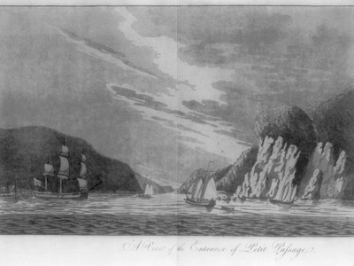
Petit Passage
A narrow channel separating Long Island from the Digby Neck. It is known for its strong tidal currents and is crossed by a ferry, offering whale watching opportunities nearby.
Grand Passage
The channel separating Brier Island from Long Island at the tip of the Digby Neck. It is a world-renowned whale and seabird watching area, served by a ferry from Freeport.
Fourchu Bay
A remote and rugged bay on the south-eastern coast of Cape Breton Island. It is an exposed, windswept area known for its wild beauty and the small fishing community of Fourchu.
St. Esprit Bay
A small, isolated bay on the southern coast of Cape Breton, featuring a beautiful sandy beach at the site of the former village of St. Esprit. It’s a remote spot for enjoying the coastal wilderness.
L’Ardoise Bay
A bay on the southern coast of Cape Breton, home to the Acadian village of L’Ardoise. It has a working fishing harbour and several beaches, representing the quiet lifestyle of this part of the island.
D’Escousse Bay
A sheltered bay on the northern side of Isle Madame, a historically rich Acadian island. It is a quiet area with a small harbour in the village of D’Escousse.
Kempt Bay
A small bay on the south side of the St. Peters Inlet, which is part of the Bras d’Or Lake system. It is a quiet, sheltered cove near the community of Kempt Road.

River Denys Bay
The innermost part of Whycocomagh Bay in the Bras d’Or Lake system. The bay receives freshwater from the River Denys and is a peaceful, scenic area for boating.
Melford Bay
A small bay in the Strait of Canso, near the community of Melford. It is part of the larger waterway system that separates Cape Breton Island from the mainland.
Meat Cove Bay
Though called a cove, this dramatic bay marks the northernmost settlement in Nova Scotia. It is famous for its breathtaking cliffs, whale watching, and remote, end-of-the-road location on the Cabot Trail.
Dingwall Bay
A bay on the northern Cabot Trail, protected from the open Atlantic by a long sand bar. It is home to a fishing harbour and is located at the foot of the Cape Breton Highlands.
South Bay Ingonish
The southern arm of the larger Ingonish Bay, this bay is home to the famous Keltic Lodge, a spectacular golf course, and a beautiful sandy beach within Cape Breton Highlands National Park.
Wreck Cove Bay
A small bay on the Cabot Trail, notable for the Wreck Cove Hydroelectric System, the largest hydro plant in the province. The scenic cove is a picturesque stop along the famous drive.
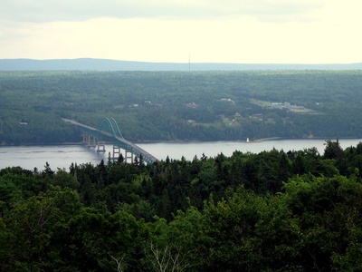
Big Bras d’Or
The community and bay located at the mouth of the Great Bras d’Or Channel. It is the site of a high-arching bridge that carries the Trans-Canada Highway into Cape Breton Island.
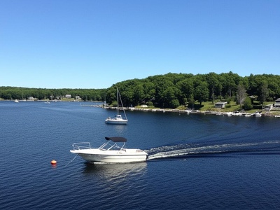
Shubenacadie Grand Lake Bay
This is an inland bay on the province’s largest lake, Shubenacadie Grand Lake. It is a hub for recreational boating and cottaging, located near the Halifax Stanfield International Airport.
French Village Bay
A small, sheltered bay within the larger St. Margarets Bay, located near the community of French Village. It is a quiet residential and cottage area.
Hubbards Bay
The bay on which the popular village of Hubbards is situated. It is a bustling summer destination with a marina, beaches, and a famous lobster supper, located on the Aspotogan Peninsula.
Blandford Bay
A bay on the western side of the Aspotogan Peninsula, home to the fishing village of Blandford. It offers rugged coastal scenery and views out towards the Tancook Islands.
Tancook Bay
The body of water surrounding Big Tancook and Little Tancook Islands in Mahone Bay. It is accessed by ferry from Chester and is known for its unique island culture and scenery.