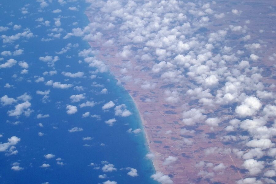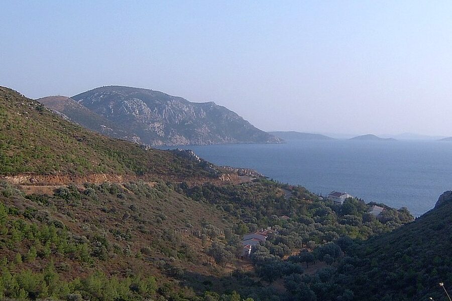
Madagascar’s long, varied coastline shelters a string of bays that shape local life — from fishing villages and mangrove forests to the islands and ports that support trade and tourism. These coastal indentations influence currents, wildlife habitats, and the routes people use to reach remote parts of the island.
There are 6 Bays in Madagascar, ranging from Antongil Bay to Toamasina Bay. For each bay, the list below is organized with Coordinates (lat, lon),Nearest town / region,Size (km2) so you can quickly compare locations, nearby settlements, and area — you’ll find these details below.
Which bay is most important for shipping and access to the mainland?
Toamasina Bay hosts Madagascar’s principal commercial port (Toamasina/Tamatave), so it offers the best infrastructure for cargo, ferries, and road connections to the capital; if you need reliable transport, services, or port facilities, Toamasina Bay is the primary gateway.
How reliable are the coordinates and size figures in the list?
The coordinates are taken from standard navigational and mapping sources and sizes are approximate (satellite-derived or from local records); they’re good for planning and comparison, but consult official charts or local authorities for navigation, legal matters, or precise measurements.
Bays in Madagascar
| Name | Coordinates (lat, lon) | Nearest town / region | Size (km2) |
|---|---|---|---|
| Antongil Bay | -15.50, 49.75 | Maroantsetra / Analanjirofo | Mouth width: 70.00 km |
| Antsiranana Bay (Diego-Suarez Bay) | -12.28, 49.29 | Antsiranana / Diana | Mouth width: 4.00 km |
| Bombetoka Bay | -15.72, 46.30 | Mahajanga (Majunga) / Boeny | Mouth width: 30.00 km |
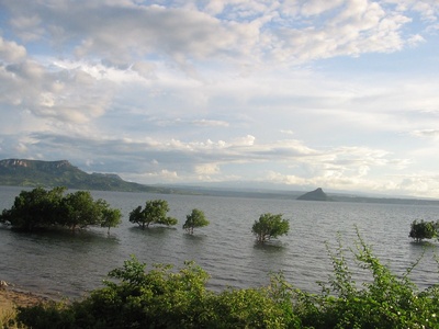
| Mahajamba Bay | -15.40, 46.45 | Mahajanga region / Boeny | Mouth width: 20.00 km |
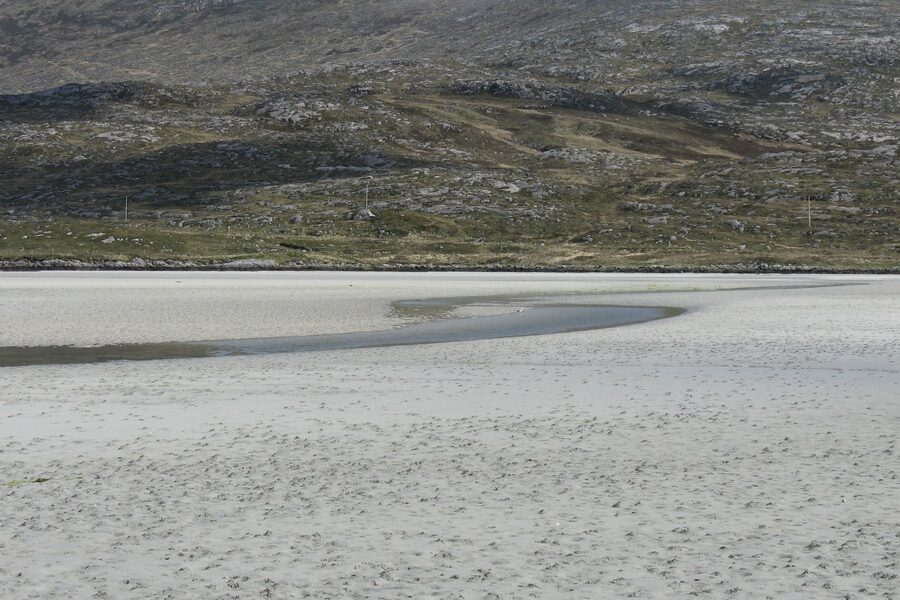
| Toamasina Bay | -18.15, 49.40 | Toamasina (Tamatave) / Atsinanana | Mouth width: 6.00 km |
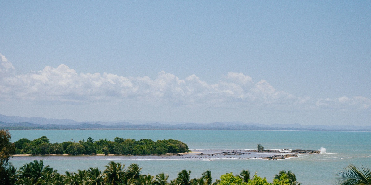
| Taolagnaro Bay (Fort‑Dauphin Bay) | -25.03, 46.98 | Taolagnaro (Fort‑Dauphin) / Anosy | Mouth width: 8.00 km |
Images and Descriptions

Antongil Bay
Large northeast bay bordering Masoala National Park; noted for whale watching, biodiversity and fishing villages. Accessible by boat from Maroantsetra; popular for wildlife tours and gateway to Masoala and marine reserves.
Antsiranana Bay (Diego-Suarez Bay)
Deep, sheltered natural harbor at Madagascar’s northern tip with colonial history and excellent anchorage. Antsiranana (Diego-Suarez) town provides road and air access; popular for snorkeling, diving and day trips to nearby islands.
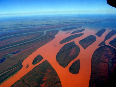
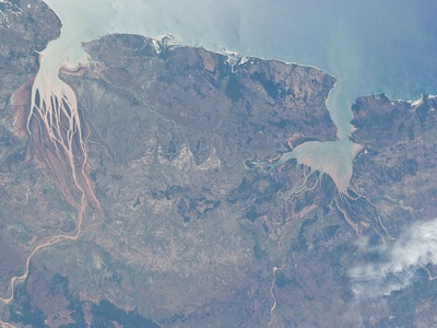
Bombetoka Bay
Estuarine bay at the Betsiboka River mouth near Mahajanga, famed for red sediment plumes and mangroves. City access via Mahajanga; important for fisheries, boat tours and mangrove conservation observation.
Mahajamba Bay
Broad coastal bay north of Mahajanga with extensive mangroves and offshore reefs. Reachable by coastal roads and small boats; valued for local fisheries, birdlife and remote beach visits.
Toamasina Bay
Principal east‑coast port bay hosting Madagascar’s busiest commercial harbor. Toamasina city gives easy road, rail and air access; surrounding beaches and islands attract local tourism despite heavy port activity.
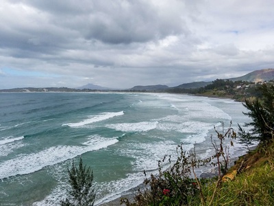
Taolagnaro Bay (Fort‑Dauphin Bay)
Scenic southeast bay sheltering the town of Taolagnaro; known for dramatic cliffs, beaches and nearby nature reserves. Accessible by air and road; serves as a base for beach trips, surfing and cultural visits.