Haiti’s coastline is a patchwork of sheltered inlets, rocky coves and sandy harbors that have shaped local life for centuries — from fishing and trade to recreation and coastal ecosystems. Whether you’re researching geography, planning a visit, or mapping marine habitats, a clear list of bays helps make sense of the shorelines and access points.
There are 17 Bays in Haiti, ranging from Anse-à-Galets Bay to Île-à-Vache bays. For each entry the information is organized as Local name (Fr/HT),Coordinates (lat, long),Nearest town / department, and you’ll find below.
How can I use this list to plan a visit to a specific bay in Haiti?
Use the nearest town/department and coordinates to assess access routes, local transport options, and distances from accommodations; check recent travel advice, local weather and tide information, and contact local operators or community offices for landing permissions or boat services before you go.
Are the coordinates in the list precise enough for navigation?
The coordinates provide a reliable reference for locating each bay on maps and GPS devices, but they are not a substitute for up-to-date nautical charts or local pilotage information; for safe navigation, cross-check with official charts and verify hazards, depths and markers.
Bays in Haiti
| Name | Local name (Fr/HT) | Coordinates (lat, long) | Nearest town / department |
|---|---|---|---|
| Port-au-Prince Bay | Baie de Port-au-Prince | 18.54,-72.34 | Port-au-Prince, Ouest |
| Baie du Cul-de-Sac | Baie du Cul-de-Sac | 18.48,-72.25 | Tabarre / Port-au-Prince, Ouest |
| Cap-Haïtien Bay | Baie de Cap-Haïtien | 19.76,-72.20 | Cap-Haïtien, Nord |
| Môle-Saint-Nicolas Bay | Baie de Môle-Saint-Nicolas | 19.85,-73.86 | Môle-Saint-Nicolas, Nord-Ouest |
| Port-de-Paix Bay | Baie de Port-de-Paix | 19.93,-72.84 | Port-de-Paix, Nord-Ouest |
| Les Cayes Bay | Baie des Cayes | 18.20,-73.75 | Les Cayes, Sud |
| Jacmel Bay | Baie de Jacmel | 18.24,-72.54 | Jacmel, Sud-Est |
| Miragoâne Bay | Baie de Miragoâne | 18.67,-74.12 | Miragoâne, Nippes |
| Saint-Marc Bay | Baie de Saint-Marc | 19.15,-72.71 | Saint-Marc, Artibonite |
| Gonaïves Bay | Baie de Gonaïves | 19.45,-72.68 | Gonaïves, Artibonite |
| Fort-Liberté Bay | Baie de Fort-Liberté | 19.69,-71.86 | Fort-Liberté, Nord-Est |
| Anse-à-Galets Bay | Baie d’Anse-à-Galets | 18.67,-72.95 | Anse-à-Galets, Île de la Gonâve, Ouest |
| Petit-Goâve Bay | Baie de Petit-Goâve | 18.33,-72.75 | Petit-Goâve, Ouest |
| Grand-Goâve Bay | Baie de Grand-Goâve | 18.44,-72.60 | Grand-Goâve, Ouest |
| Port-Salut Bay | Baie de Port-Salut | 18.12,-73.78 | Port-Salut, Sud |
| Belle-Anse Bay | Baie de Belle-Anse | 18.23,-71.63 | Belle-Anse, Sud-Est |
| Île-à-Vache bays | Baie de l’Île-à-Vache | 18.31,-73.89 | Île-à-Vache / Les Cayes, Sud |
Images and Descriptions

Port-au-Prince Bay
Large coastal bay opening onto the Gulf of Gonâve beside Haiti’s capital. Major commercial port and ferry hub, heavily urbanized shoreline, important for shipping, fisheries, and the 2010 earthquake relief effort; nearby attractions and busy beaches.
Baie du Cul-de-Sac
Shallow lagoon-like bay east of Port-au-Prince with extensive mangroves and wetlands. Important for artisanal fishing, salt flats and birdlife; local communities rely on its fisheries while facing pollution and coastal development pressures.
Cap-Haïtien Bay
Sheltered northern bay fronting the historic port city of Cap-Haïtien. Serves as a cruise and ferry gateway, close to colonial architecture and nearby beaches; clear waters and nearby reefs attract visitors and local fishermen.
Môle-Saint-Nicolas Bay
Broad, sheltered bay at Haiti’s northwestern tip with a long maritime history and strategic location. Home to fishing communities, rocky beaches and coral reefs; historically noted in 19th-century geopolitics and local coastal trade routes.
Port-de-Paix Bay
Wide bay on Haiti’s northwest coast, gateway to the small offshore islands and Tortuga (Île de la Tortue). Economic lifeline for local fisheries and inter-island trade, with mangrove-fringed shores and small islets offshore.
Les Cayes Bay
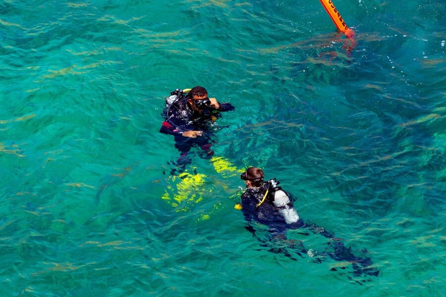
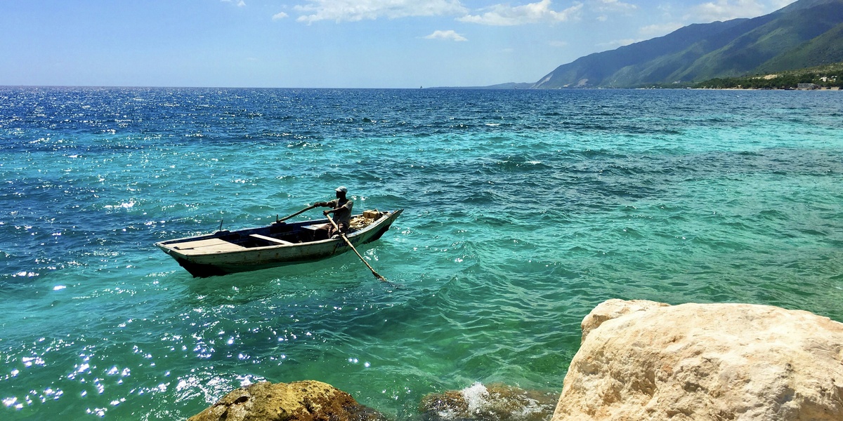
Major southern bay protecting the commercial port of Les Cayes. Key departure point for boats to Île-à-Vache, known for sandy beaches, local seafood markets and access to diving and snorkeling sites around nearby cays.
Jacmel Bay
Scenic bay on the southeast coast hugged by the arts town of Jacmel. Coral reefs, beaches and a lively cultural scene make it popular with tourists; also a working fishing harbor and a starting point for coastal excursions.
Miragoâne Bay
Deep southern bay serving the town of Miragoâne and surrounding agricultural communities. Functionally important as a regional landing and fishing area, with mangrove inlets and road links to inland markets.
Saint-Marc Bay
Shallow bay on the Artibonite coastline with a busy regional port at Saint-Marc. Local economy revolves around fishing and trade; the bay is exposed to storm surge and seasonal coastal erosion concerns for nearby communities.
Gonaïves Bay
Historic bay fronting Gonaïves, the “city of independence.” Serves local commerce and fisheries, with surrounding wetlands and mangroves. Vulnerable to hurricanes and riverine flooding from the Artibonite plain inland.
Fort-Liberté Bay
Large inlet on Haiti’s northeast coast adjacent to the border with the Dominican Republic. Historic fortifications overlook the bay; it supports fishing, small-scale trade and access to nearby islands like Île de la Tortue (Tortuga).
Anse-à-Galets Bay
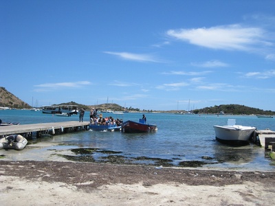
Principal bay on Île de la Gonâve, serving the island’s main ferry terminal to Port-au-Prince. Important for local fisheries and island transport, with beaches and informal tourism catering to day-trippers and residents.
Petit-Goâve Bay
Coastal bay west of Port-au-Prince that shelters small fishing ports and community beaches. The bay supports artisanal fisheries and local trade, and is connected by coastal roads to larger urban centers.
Grand-Goâve Bay
Broad indentation along the Gulf of Gonâve with fishing villages and seasonal beach tourism. Important local harbor area with traditional fisheries and communities recovering infrastructure after past storms and earthquakes.
Port-Salut Bay
Popular small bay known for sandy beaches, easy swimming and nearby islets. Favored by domestic tourists and weekend visitors, with modest resort facilities, clear waters for snorkeling and an active local fishing fleet.
Belle-Anse Bay
Rugged southeastern bay with a small fishing port at Belle-Anse. Less-touristed coastline with scenic beaches and coconut groves inland; local economy depends on fisheries and small-scale agriculture, vulnerable to tropical storms.
Île-à-Vache bays
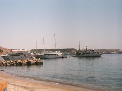
Group of sheltered bays and coves around Île-à-Vache off the south coast near Les Cayes. Known for calm anchorages, eco-tourism projects, secluded beaches and boat access from Les Cayes; growing interest from sustainable tourism operators.