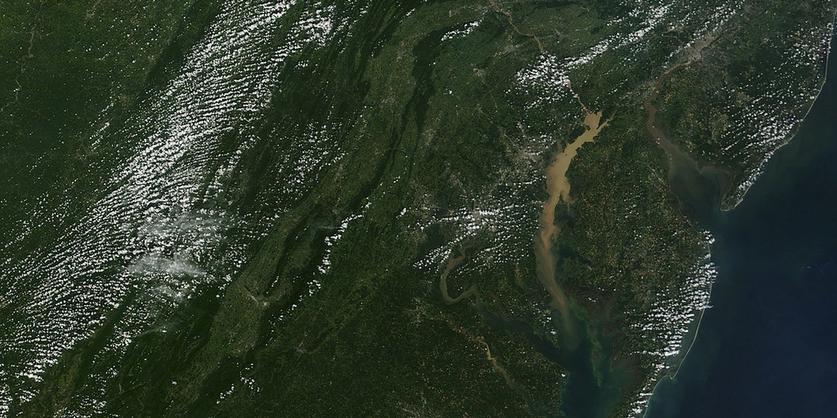
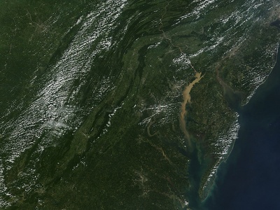
Virginia’s shoreline and tidal marshes shape much of the state’s natural character, supporting fisheries, wildlife, and coastal communities. From ocean inlets to quieter estuaries, each bay has its own geography and local history worth noting.
There are 8 Bays in Virginia, ranging from Back Bay to Willoughby Bay. For each bay I include Region / County, Coordinates (lat, lon), and Area (km2) — details you’ll find below.
How reliable are the coordinates and area measurements listed?
The coordinates and area figures are compiled from official maps and public datasets (state agencies, NOAA, USGS) and are suitable for general reference; for navigation, property boundary issues, or scientific work, consult primary sources or recent surveys to confirm precision.
Can I visit these bays and what activities are common?
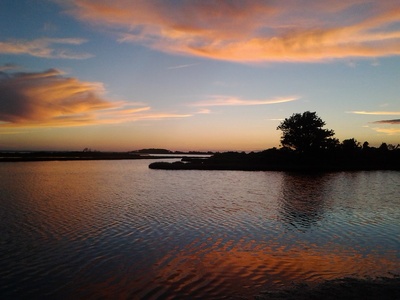
Most bays are publicly accessible via parks, boat ramps, and waterfront towns; common activities include boating, fishing, birdwatching, and shoreline walks, but access and permitted uses vary by site and season, so check local regulations and any protected-area rules before you go.
Bays in Virginia
| Name | Region / County | Coordinates (lat, lon) | Area (km2) |
|---|---|---|---|
| Chesapeake Bay | Statewide (Virginia portion) | 37.24,-76.05 | 11,600.0 |
| Mobjack Bay | Middle Peninsula / Gloucester County | 37.49,-76.39 | 180.0 |
| Chincoteague Bay | Eastern Shore / Accomack County | 37.91,-75.30 | 350.0 |
| Back Bay | Virginia Beach (southern shore) | 36.88,-75.97 | 38.0 |
| Lynnhaven Bay | Virginia Beach / Lynnhaven River mouth | 36.89,-76.05 | 12.0 |
| Broad Bay | Virginia Beach (Lynnhaven area) | 36.82,-76.06 | 4.5 |
| Willoughby Bay | Hampton / Hampton Roads | 37.02,-76.31 | 6.0 |
| Rudee Bay | Virginia Beach (near Rudee Inlet) | 36.85,-75.98 | 1.8 |
Images and Descriptions
Chesapeake Bay
America’s largest estuary bordering Virginia’s entire coast; rich tidal marshes, fisheries, and major shipping channels. Popular for boating, crabbing, and birding with many public boat ramps, state parks, and waterfront towns along its shores.
Mobjack Bay
A shallow, oyster- and marsh-rich bay off the York and Mobjack rivers; prized for boating, recreational fishing, and oyster restoration. Public access via small marinas and county boat ramps around Gloucester and Mathews counties.
Chincoteague Bay
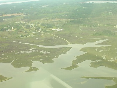
A sheltered bay behind Assateague Island, important for migratory birds, shellfish beds, and the Chincoteague–Assateague national wildlife areas. Offers fishing, kayaking, and wildlife viewing with boat launches in Chincoteague and nearby towns.

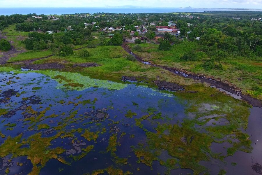
Back Bay
A coastal lagoon and wildlife refuge with dunes, marshes, and freshwater ponds; excellent for birding, surf fishing, and kayaking. Back Bay National Wildlife Refuge provides trails and limited public access to preserve habitat.
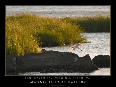
Lynnhaven Bay
A protected bay at the mouth of the Lynnhaven River known for fishing, historic oyster beds, and waterfront neighborhoods. Public access includes marinas, fishing piers, and nearby parks in Virginia Beach.
Broad Bay
A tidal lagoon linked to the Lynnhaven system, surrounded by residential areas and parks. Popular for small‑boat recreation, paddle sports, and neighborhood waterfront access with nearby public boat ramps.
Willoughby Bay
A small bay along the Hampton shoreline near Fort Monroe and Buckroe Beach; used for local fishing, kayaking, and waterfront recreation. Offers beach access, a few marinas, and views of shipping channels into Hampton Roads.
Rudee Bay
A compact bay behind Rudee Inlet serving launch points for surf fishing, kayaking, and charter boats. Close to Virginia Beach’s resort area with public ramps and easy ocean access for recreational users.