TLDR
Arizona borders four U.S. states: Utah (north), Nevada (northwest), California (west), and New Mexico (east). Colorado technically meets Arizona at a single point — the Four Corners monument — which most geographers don’t count as a true border. On the international side, Arizona shares a 389-mile boundary with the Mexican states of Sonora and Baja California.
Table of Contents
- The Four U.S. States That Border Arizona
- Utah
- Nevada
- California
- New Mexico
- What About Colorado? The Four Corners Debate
- Arizona’s International Borders with Mexico
- A Quick-Reference Table
The Four U.S. States That Border Arizona
Arizona sits in the southwestern corner of the United States, sandwiched between the Rocky Mountains, the Mojave Desert, and the Mexican frontier. Four states share a land boundary with it. Each border has its own character — some are drawn along rivers, some along surveyor’s lines through empty desert.
Utah
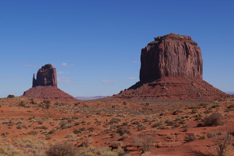
Arizona’s northern neighbor is Utah, and the boundary between them runs straight across the Colorado Plateau. The geography here is dramatic: the Vermilion Cliffs, the Grand Staircase–Escalante, and the remote canyonlands of southeastern Utah all sit close to or along this line. Page, Arizona — the base town for Antelope Canyon and Horseshoe Bend — is roughly 10 miles south of the Utah state line. The two states share overlapping Native American lands, including parts of the Navajo Nation, which sprawls across both without much concern for state borders.
The shared border runs approximately 389 miles and is entirely a straight surveyor’s line along the 37th parallel. Several small communities straddle this divide — see the complete list of Utah–Arizona bordering towns if you’re planning a trip through the region.
Nevada
The Arizona–Nevada border runs along the Colorado River for most of its length. That river boundary is the reason Hoover Dam sits exactly on the state line — the dam was intentionally placed there so both states could claim it. Las Vegas is about 30 miles inside Nevada from the border; the Arizona side is largely the Mojave Desert and the Arizona Strip, a remote chunk of Arizona almost entirely cut off from the rest of the state by the Grand Canyon.
The Laughlin–Bullhead City area straddles this border in the south, where casinos sit in Nevada and the hotels sit in Arizona across the river.
California
California borders Arizona to the west, again along the Colorado River. This stretch runs from the Nevada tripoint in the north down to the Mexican border — about 275 miles. The river defines a sharp line between California’s desert communities (Palm Springs is further west, but the Coachella Valley points in this direction) and Arizona’s western desert strip, which includes the Havasu Lake area and Yuma. The California–Arizona bordering towns along this stretch reflect how tightly the two states’ economies are intertwined.
Yuma sits right at the bottom of this border — one of the sunniest cities in the world, and a major crossing point for agricultural traffic from California. The Colorado River has been so heavily dammed and diverted along this stretch that it barely reaches the Gulf of California anymore, a fact that matters enormously to anyone downstream.
New Mexico
New Mexico forms Arizona’s entire eastern border, a straight north-south line running 359 miles along the 109th meridian. This is the quieter of Arizona’s land borders — no river, no dramatic geographic feature, just high desert transitioning from one state to another. The border region includes parts of the White Mountain Apache lands, the Zuni Pueblo, and the Gila National Forest just over the line in New Mexico.
Tucson and Albuquerque are the closest major cities on either side, though they’re each well inside their respective states rather than at the border itself. The Arizona–New Mexico bordering towns scattered along this line offer a quieter, less-traveled side of the Southwest.
What About Colorado? The Four Corners Debate
Colorado does not border Arizona in any practical sense. What it does do is touch Arizona at a single geographic point — the Four Corners monument, the only place in the United States where four states meet at one location.
At that spot, you can technically stand in Arizona, Utah, Colorado, and New Mexico simultaneously. It’s a novelty. The monument draws around 300,000 visitors a year, most of whom take the same photo lying spread-eagle on the brass disk.
But a point is not a border. Arizona and Colorado share no boundary line, no river, no road crossing. No state highway connects them directly. The standard geographic definition of “bordering states” requires a shared line, not a shared point — which is why most authoritative sources list Arizona as having four bordering states, not five.
Arizona’s International Borders with Mexico
The southern edge of Arizona is a 389-mile international border shared with two Mexican states: Sonora to the east and Baja California to the west, with the tripoint sitting near the city of San Luis Río Colorado.
Sonora takes up the vast majority of this boundary. The border cities here — Nogales, Douglas, and Naco — each have a Mexican counterpart directly across the line, and the economies on both sides are closely connected. Nogales in particular handles billions of dollars in cross-border trade annually; according to U.S. Customs and Border Protection, the Nogales port of entry is one of the highest-volume produce crossing points in the country.
Baja California’s sliver of the Arizona border is small — just the extreme southwest corner near San Luis, Arizona. Most travelers passing through that area are heading to the Baja California coast (Mexicali, Ensenada, San Felipe), not staying put at the Arizona junction.
The crossing at Lukeville/Sonoyta leads into the Sonoran Desert National Park on both sides and is a common entry point for travelers heading to Puerto Peñasco (Rocky Point), the closest ocean beach to Phoenix.
A Quick-Reference Table
| Border | Type | Approx. Length | Key Features |
|---|---|---|---|
| Utah | U.S. state | ~389 miles | 37th parallel, Navajo Nation, Grand Canyon country |
| Nevada | U.S. state | ~114 miles | Colorado River boundary, Hoover Dam, Laughlin |
| California | U.S. state | ~275 miles | Colorado River boundary, Yuma, Lake Havasu |
| New Mexico | U.S. state | ~359 miles | 109th meridian, high desert, Apache lands |
| Colorado | Single point only | 0 miles | Four Corners monument |
| Sonora (MX) | International | ~312 miles | Nogales, Douglas, Puerto Peñasco route |
| Baja California (MX) | International | ~77 miles | San Luis, Mexicali connection |
Arizona is one of only two U.S. states that border both multiple U.S. states and multiple Mexican states — the other being New Mexico. That dual international boundary, combined with the geographic coincidence of Four Corners, makes Arizona’s border situation more layered than most people expect from a geography trivia question.